
Dirt Bike Trails
Near Hartsdale, New York
Explore All Dirt Bike Trails Near Hartsdale, New York
Dirt Bike Trails Near Hartsdale, New York
Discover the best dirt bike trails near you. Browse trail maps, check difficulty ratings, and find your next adventure — whether you're looking for a quick ride or an all-day expedition.
Thomaston Dam Loop
Thomaston Dam Loop is a moderate dual-sport style ride best suited for experienced dirt bike riders looking for a mix of flowing singletrack and faster gravel segments within a controlled OHV area. Located along the Naugatuck River corridor just north of Thomaston Dam, this motorcycle-only trail sys...
Learn more about Thomaston Dam Loop
Two Towers Loop
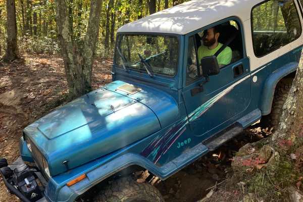
The trailhead for the Two Towers Loop is accessed from Reed Rd. You will see wild animals from the adjacent Six Flags safari park. Once you turn onto the trails you will be on soft Pine Barren sand and dirt. This terrain varies with the seasons-deep in the summer, loose in the fall and firm in sprin...
Learn more about Two Towers Loop
Tower Hill Road to Spruce Ledge Road
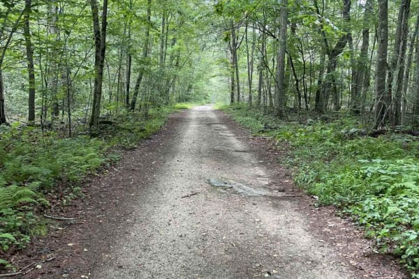
This trail is a straightforward path; however, there are sections that have puddle crossings that range from six to ten inches in size and require some ground clearance. The majority of obstacles are very straightforward and can be overcome with a stock vehicle. This road is located in the southern ...
Learn more about Tower Hill Road to Spruce Ledge Road
Old Country Road
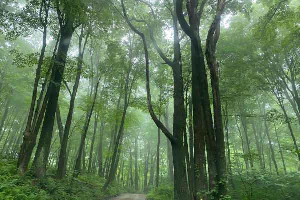
In order to access the trail system of the Cockaponset State Forest, Old Country Road is a very straightforward dirt and gravel entrance. The road allows for a smooth cruising experience through the state forest.
Learn more about Old Country Road
Mottlan - Jericho Road
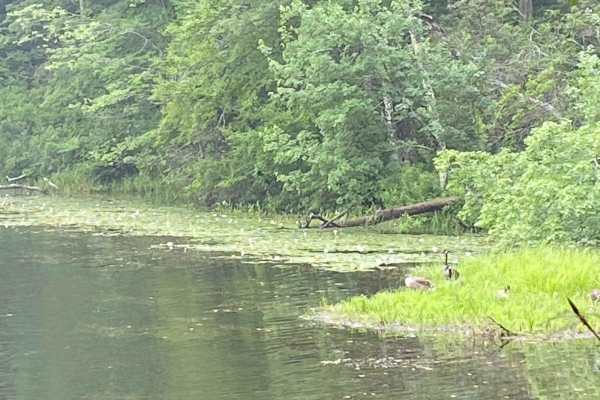
The dirt and gravel Mottland Road to Jericho Road leads directly into the Cockaponset State Forest trail network. Enjoy a leisurely drive through the forest on this road. A 4x4 /AWD is not needed to drive this road in regular conditions.
Learn more about Mottlan - Jericho Road
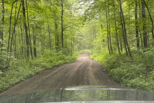
Filley Road
Serving as an entrance to the Cockaponset State Forest trail system, Filley Road is a very straightforward dirt and gravel path. The road allows for a smooth cruising experience through the forest and offers additional access to more trails in the state forest.
Learn more about Filley Road
ATV trails near Hartsdale, New York
Explore ATV-friendly trails near you. These trails are accessible for vehicles up to 50 inches wide, perfect for ATVs and smaller off-road machines.
Two Towers Loop
The trailhead for the Two Towers Loop is accessed from Reed Rd. You will see wild animals from the adjacent Six Flags safari park. Once you turn onto the trails you will be on soft Pine Barren sand and dirt. This terrain varies with the seasons-deep in the summer, loose in the fall and firm in sprin...
Learn more about Two Towers Loop
Tower Hill Road to Spruce Ledge Road
This trail is a straightforward path; however, there are sections that have puddle crossings that range from six to ten inches in size and require some ground clearance. The majority of obstacles are very straightforward and can be overcome with a stock vehicle. This road is located in the southern ...
Learn more about Tower Hill Road to Spruce Ledge Road
Old Country Road
In order to access the trail system of the Cockaponset State Forest, Old Country Road is a very straightforward dirt and gravel entrance. The road allows for a smooth cruising experience through the state forest.
Learn more about Old Country Road
Mottlan - Jericho Road
The dirt and gravel Mottland Road to Jericho Road leads directly into the Cockaponset State Forest trail network. Enjoy a leisurely drive through the forest on this road. A 4x4 /AWD is not needed to drive this road in regular conditions.
Learn more about Mottlan - Jericho Road
UTV/side-by-side trails near Hartsdale, New York
Find UTV and side-by-side trails near you. These trails accommodate vehicles up to 60 inches wide, ideal for UTVs, side-by-sides, and wider off-road rigs.
Two Towers Loop
The trailhead for the Two Towers Loop is accessed from Reed Rd. You will see wild animals from the adjacent Six Flags safari park. Once you turn onto the trails you will be on soft Pine Barren sand and dirt. This terrain varies with the seasons-deep in the summer, loose in the fall and firm in sprin...
Learn more about Two Towers Loop
Tower Hill Road to Spruce Ledge Road
This trail is a straightforward path; however, there are sections that have puddle crossings that range from six to ten inches in size and require some ground clearance. The majority of obstacles are very straightforward and can be overcome with a stock vehicle. This road is located in the southern ...
Learn more about Tower Hill Road to Spruce Ledge Road
Old Country Road
In order to access the trail system of the Cockaponset State Forest, Old Country Road is a very straightforward dirt and gravel entrance. The road allows for a smooth cruising experience through the state forest.
Learn more about Old Country Road
Mottlan - Jericho Road
The dirt and gravel Mottland Road to Jericho Road leads directly into the Cockaponset State Forest trail network. Enjoy a leisurely drive through the forest on this road. A 4x4 /AWD is not needed to drive this road in regular conditions.
Learn more about Mottlan - Jericho Road
The onX Offroad Difference
onX Offroad combines trail photos, descriptions, difficulty ratings, width restrictions, seasonality, and more in a user-friendly interface. Available on all devices, with offline access and full compatibility with CarPlay and Android Auto. Discover what you're missing today!
Open Trail Map