
Dirt Bike Trails
Near Hachita, New Mexico
Explore All Dirt Bike Trails Near Hachita, New Mexico
Dirt Bike Trails Near Hachita, New Mexico
Discover the best dirt bike trails near you. Browse trail maps, check difficulty ratings, and find your next adventure — whether you're looking for a quick ride or an all-day expedition.
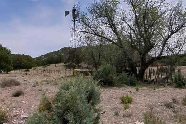
Knight Canyon Road to Mill Canyon Road
This 7.3 mile trail begins at FS 861 (Knight Canyon Road) and US 90. The trail begins on a 2-track, full size sandy dirt road that climbs gently up to the first gate. You'll continue along Knight Canyon as it winds through a wide sandy wash. Along the way, you will pass a windmill and an incredibly ...
Learn more about Knight Canyon Road to Mill Canyon Road
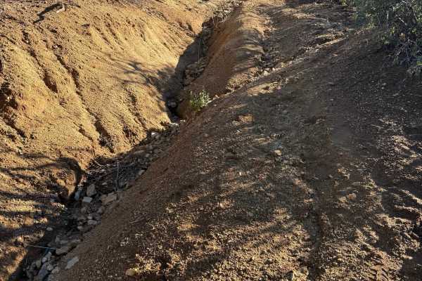
Peterson Canyon
There is a Forest Service gate at the beginning of the trail; it is not locked, just chained. Once you undo the chain, you'll drive in and close the gate behind you. Once on public land, the trail is extremely narrow. If you're worried about pinstripes, this trail is not for you. After the first mil...
Learn more about Peterson Canyon
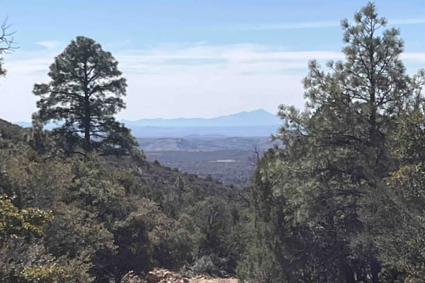
FS 828
This is an easy road that climbs up from the juniper woodlands to ponderosa forest. It offers Continental Divide Trail access--in fact, the CDT is on the road for a while. There are several campsites at the start of the road. A corral at the end of the road looks like it may still be in use. Look ou...
Learn more about FS 828
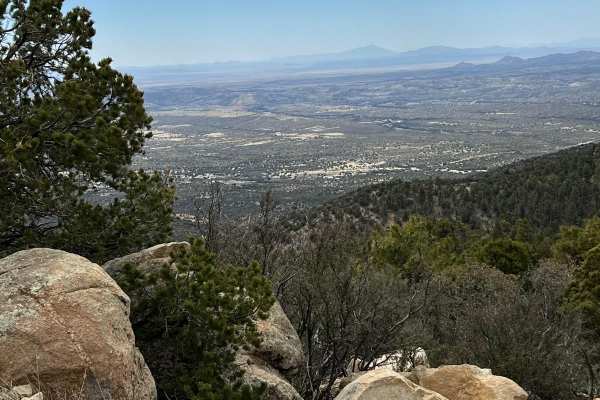
FS 836 Jacks Peak Road
FS 836 leads to Jacks Peak which is the highest point in the area at 7966 feet elevation. Being the highest point in the area, Jacks Peak has numerous communication towers. This road is rough, rocky, and seems longer than it is as you bounce along. Be aware of the numerous worker vehicles of those t...
Learn more about FS 836 Jacks Peak Road
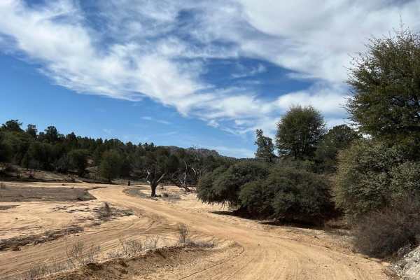
Upper Gold Gulch
This is an easy, sandy route through gorgeous terrain. The shoulders of the road are deep sand and should be avoided. The rocks, Alligator Juniper, Pinon Trees, Cholla Cactus and Palm Yuccas create a spectacular view of converging life zones. In Merriam's Life Zones, this area has the Lower Sonoran,...
Learn more about Upper Gold Gulch
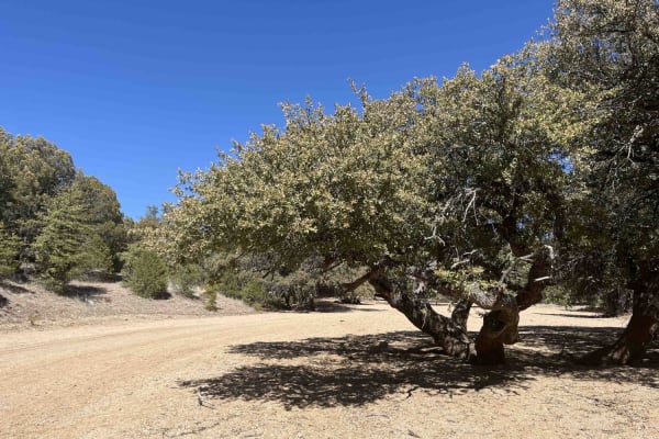
FS 4089E
Traveling south to north, this trail starts off following a sandy wash. There are some tight spots weaving between the desert willows and oaks as well as deep sand. The last third of the trail climbs out of the wash. At that point, it becomes more challenging with washouts, ruts, and off-camber spot...
Learn more about FS 4089E
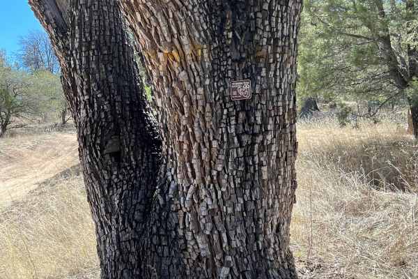
FS 4248 Y Alligator Juniper Jungle
This route begins from FS 4090 C and dead ends at the Burro Mountain Homestead Gate 7. That gate is locked. The Alligator Juniper that line the road is hundreds and hundreds of years old. These massive trees only grow in northern Mexico and the Southwestern US. The Alligator Juniper also called t...
Learn more about FS 4248 Y Alligator Juniper Jungle
SS1170 - Part B
SS1170 was originally a loop trail; however they can no longer be run as a loop. Only 2 sections have access from the north side of the train tracks, and you can only access them from SS1169. Over the track, access has been removed by the Union Pacific Railroad, and erosion has removed access under ...
Learn more about SS1170 - Part B
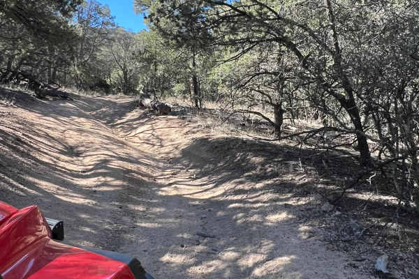
FS 4033 F Continental Divide Trail access
This trail starts off relatively easy but as it climbs toward the Continental Divide Trail it becomes more narrow and the ruts are deeper. There is a place to turn around at the dead end. The trees overhang and crowd the trail and prevent full-size vehicle access.
Learn more about FS 4033 F Continental Divide Trail access
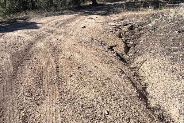
FS 4090 B Evacuation Route
This short trail marked as FS 4090 B is used as the emergency evacuation route for the Burro Mountain Homestead. The Burro Mountain Homestead is the former Summer Home Ranch and Stagecoach Stop built in the 1880s. This trail is sandy and has the erosion issues that many trails in the area have. It ...
Learn more about FS 4090 B Evacuation Route
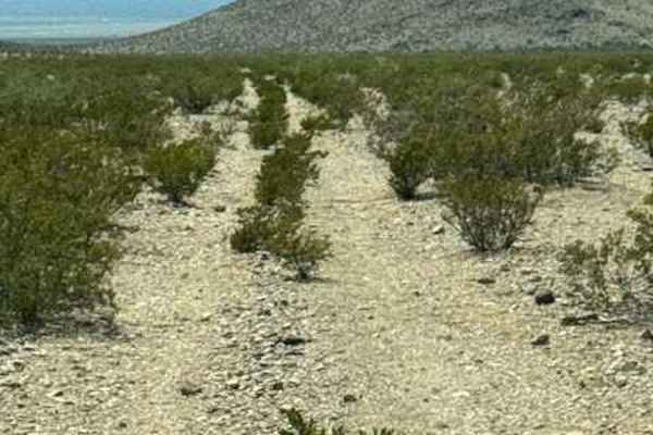
Ss1170 Part A
SS1170 section A is a natural 2 track running across the desert. Surrounded by a difficult-to-see trail. This trail is quickly disappearing back into nature. Eventually, this trail drops into a high, eroded wash and turns left to navigate around the mountain. One small section of dirt bike trail goe...
Learn more about Ss1170 Part A
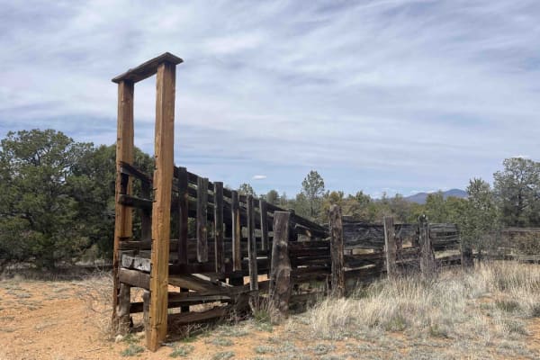
Willow Creek/Shrine Mine Road
This is an easy scenic drive with great views. This road is a great way to get into the Burro Mountains from the north or exit back to pavement from the south. It crosses private property on the north end. Stay on the road and leave gates as you find them. The ranching and mining history of the area...
Learn more about Willow Creek/Shrine Mine Road
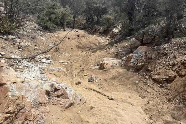
FS 4245M
Going west to east, the trail starts in a sandy wash. The wash narrows to a pinch point with rocks on both sides. A 20-inch rock is unavoidable with no bypass. Easy to get hung up here. Front and rear lockers or a winch are recommended if traveling solo. Trail climbs out of the wash with a cross axl...
Learn more about FS 4245M
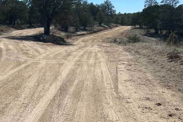
FS 91 Old Tyrone Road
This route follows the Old Tyrone Road which was primarily used to go into the Burro Mountains. The mine changed that access. Now, the main road is Tyrone Thompson Road. The old townsite of Tyrone, at the north end of this road, was also consumed by the massive operation of the Tyrone Mine. The ro...
Learn more about FS 91 Old Tyrone Road
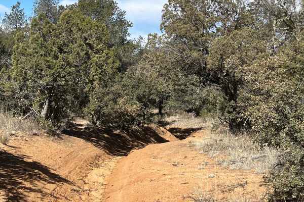
FS 4250 R for Ruts
This is a short but difficult and narrow trail. It is challenging and will roll your rig from side to side. The trees overhang the trail at the start. The ruts start out gradually, and become deeper and are up to 5 feet deep in spots. The overhanging trees and ruts present numerous challenges this t...
Learn more about FS 4250 R for Ruts
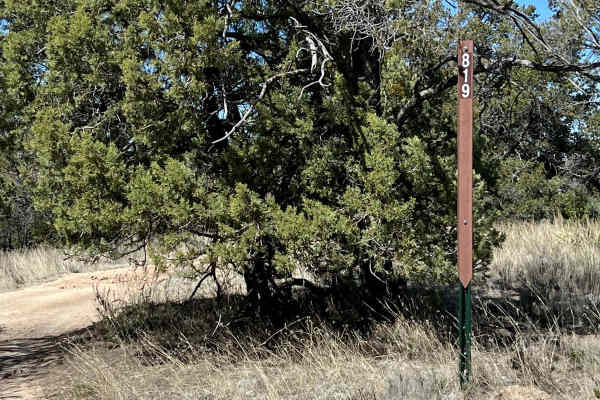
FS 911 West
This route starts from Tyrone Thompson Road as FS 819 Shrine Mine. A turn east is FS 911. It leads to a beautiful picnic spot along a small stream. It is narrow due to overhanging trees. Erosion has caused deep ruts in the sides of the trail and ruts take over the trail at times. Sliding into a rut ...
Learn more about FS 911 West
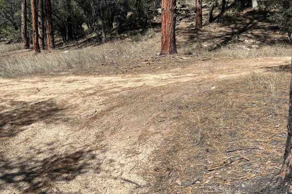
FS 914
This is a sandy trail that provides access to the fun and challenging FS 915 Boundary Bowl and connects to FS 827. It travels on the southwestern edge of the enormous Tyrone Mine. Like many of the trails in this area, erosions ruts, and overhanging trees can create hazards.
Learn more about FS 914
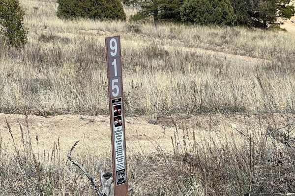
FS 915 Boundary Bowl
This is a fun area to rest, play and test your skills and your rig. There are a number of small hills of varying degrees of difficulty. The area is bowl-shaped and allows you to watch your friends navigate the terrain. It is also sheltered and can be an excellent place for a picnic or snack.
Learn more about FS 915 Boundary Bowl
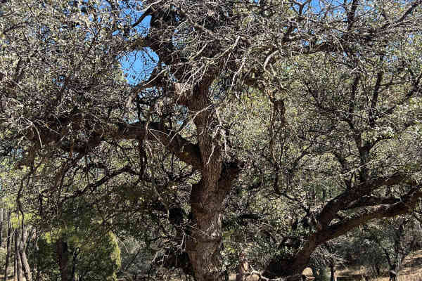
FS 827 Deadman
This trail is one of the few in the area that is wider and has less chance of overhanging branches. The erosion ruts can change the complexity of the route in wet weather. This trail ends at the enormous Tyrone mine boundary. There are a few majestic Alligator Juniper pine trees along the route.
Learn more about FS 827 Deadman
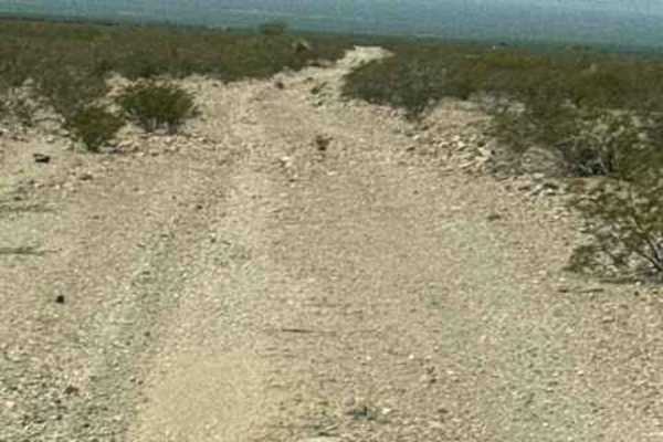
SS1169
SS1169 starts at the end of SS1167; the trail heads southwest before curving to the west. The route is a wide gravel trail with plenty of bumps, loose rock, and numerous whoops. A couple of the larger transitions can do damage if you are going too fast and not paying attention. The trail passes thro...
Learn more about SS1169
ATV trails near Hachita, New Mexico
Explore ATV-friendly trails near you. These trails are accessible for vehicles up to 50 inches wide, perfect for ATVs and smaller off-road machines.
Knight Canyon Road to Mill Canyon Road
This 7.3 mile trail begins at FS 861 (Knight Canyon Road) and US 90. The trail begins on a 2-track, full size sandy dirt road that climbs gently up to the first gate. You'll continue along Knight Canyon as it winds through a wide sandy wash. Along the way, you will pass a windmill and an incredibly ...
Learn more about Knight Canyon Road to Mill Canyon Road
Peterson Canyon
There is a Forest Service gate at the beginning of the trail; it is not locked, just chained. Once you undo the chain, you'll drive in and close the gate behind you. Once on public land, the trail is extremely narrow. If you're worried about pinstripes, this trail is not for you. After the first mil...
Learn more about Peterson Canyon
FS 828
This is an easy road that climbs up from the juniper woodlands to ponderosa forest. It offers Continental Divide Trail access--in fact, the CDT is on the road for a while. There are several campsites at the start of the road. A corral at the end of the road looks like it may still be in use. Look ou...
Learn more about FS 828
FS 836 Jacks Peak Road
FS 836 leads to Jacks Peak which is the highest point in the area at 7966 feet elevation. Being the highest point in the area, Jacks Peak has numerous communication towers. This road is rough, rocky, and seems longer than it is as you bounce along. Be aware of the numerous worker vehicles of those t...
Learn more about FS 836 Jacks Peak Road
UTV/side-by-side trails near Hachita, New Mexico
Find UTV and side-by-side trails near you. These trails accommodate vehicles up to 60 inches wide, ideal for UTVs, side-by-sides, and wider off-road rigs.
Knight Canyon Road to Mill Canyon Road
This 7.3 mile trail begins at FS 861 (Knight Canyon Road) and US 90. The trail begins on a 2-track, full size sandy dirt road that climbs gently up to the first gate. You'll continue along Knight Canyon as it winds through a wide sandy wash. Along the way, you will pass a windmill and an incredibly ...
Learn more about Knight Canyon Road to Mill Canyon Road
Peterson Canyon
There is a Forest Service gate at the beginning of the trail; it is not locked, just chained. Once you undo the chain, you'll drive in and close the gate behind you. Once on public land, the trail is extremely narrow. If you're worried about pinstripes, this trail is not for you. After the first mil...
Learn more about Peterson Canyon
FS 828
This is an easy road that climbs up from the juniper woodlands to ponderosa forest. It offers Continental Divide Trail access--in fact, the CDT is on the road for a while. There are several campsites at the start of the road. A corral at the end of the road looks like it may still be in use. Look ou...
Learn more about FS 828
FS 836 Jacks Peak Road
FS 836 leads to Jacks Peak which is the highest point in the area at 7966 feet elevation. Being the highest point in the area, Jacks Peak has numerous communication towers. This road is rough, rocky, and seems longer than it is as you bounce along. Be aware of the numerous worker vehicles of those t...
Learn more about FS 836 Jacks Peak Road
The onX Offroad Difference
onX Offroad combines trail photos, descriptions, difficulty ratings, width restrictions, seasonality, and more in a user-friendly interface. Available on all devices, with offline access and full compatibility with CarPlay and Android Auto. Discover what you're missing today!
Open Trail Map