Trail Overview
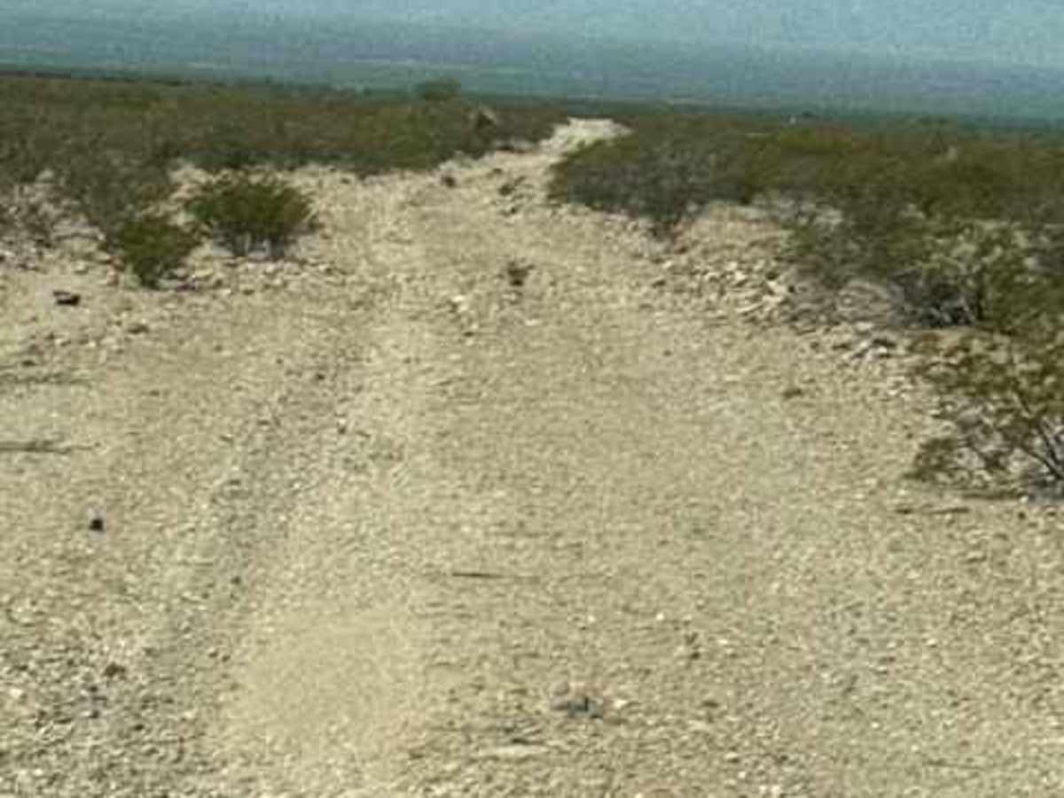
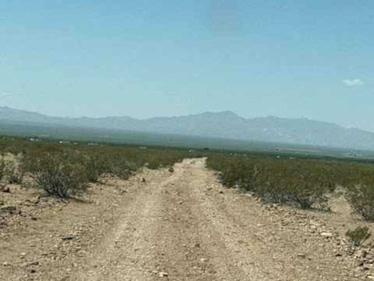
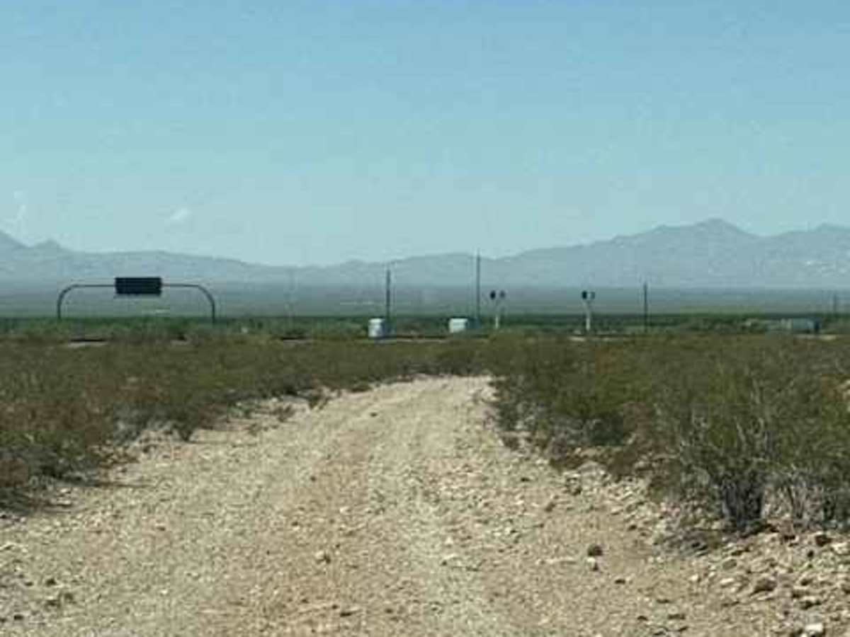
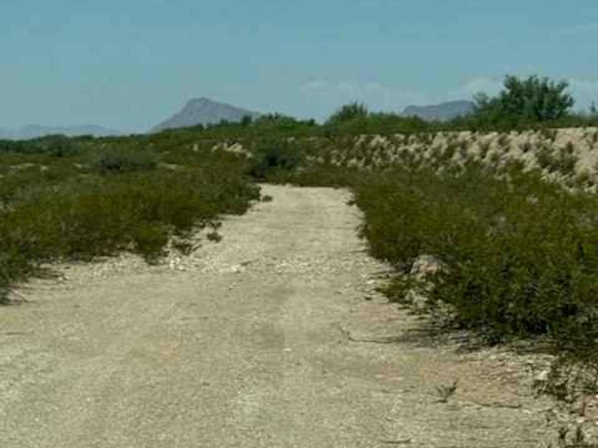
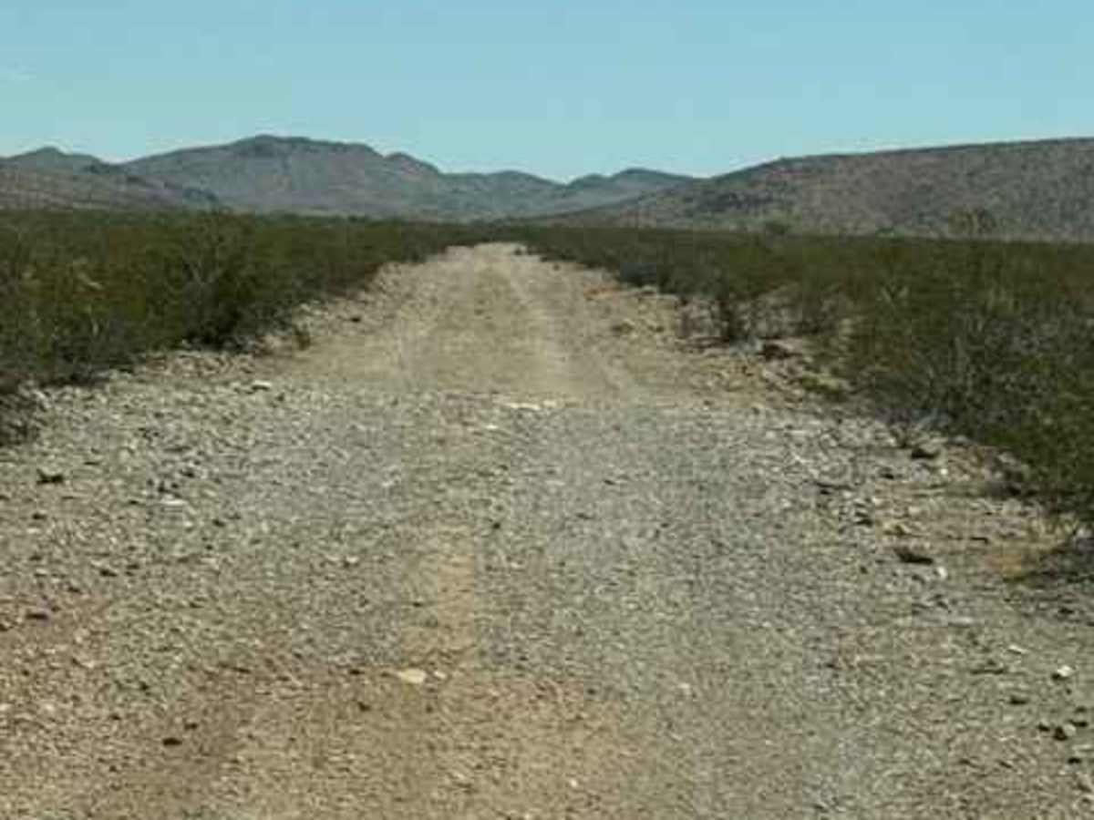
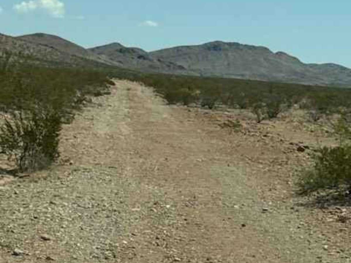
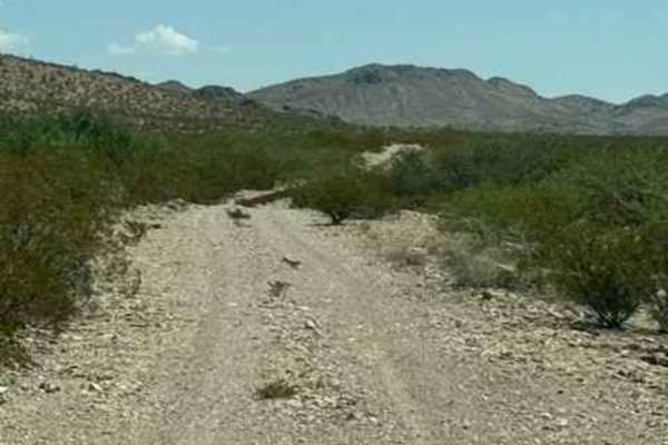
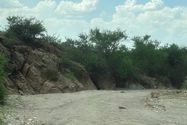
SS1169 starts at the end of SS1167; the trail heads southwest before curving to the west. The route is a wide gravel trail with plenty of bumps, loose rock, and numerous whoops. A couple of the larger transitions can do damage if you are going too fast and not paying attention. The trail passes through an open gate/cattle guard and crosses areas of private property. The route currently ends between two private-property sections; do not continue beyond the mapped trail end. When traveling east, the trail finishes at an intersection connecting to three other trails.
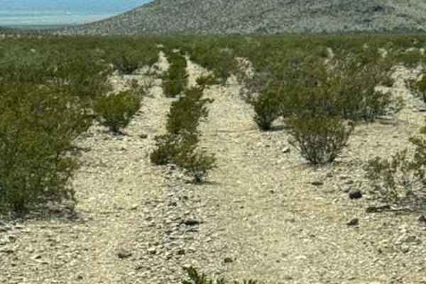
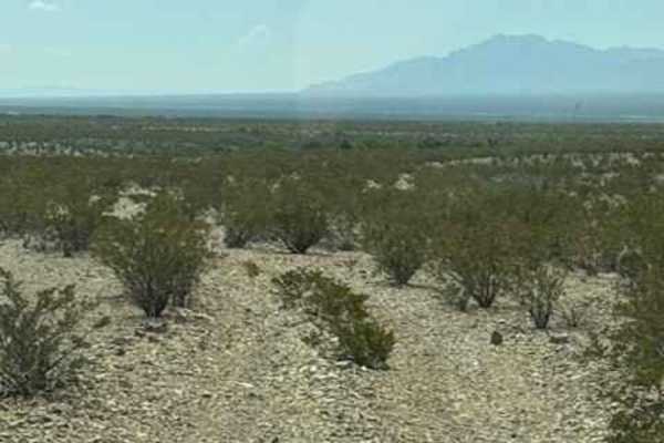
Scenery is classic desert, with the trail lined by creosote, scattered larger trees, and beautiful open views. There are no found obstacles or technical sections were observed; the loose surface, whoops, and abrupt transitions make speed the primary concern for this trail. San Simon Valley is a popular area for OHV recreation; stay alert to oncoming traffic.