
Dirt Bike Trails
Near Greenhorn, Oregon
Explore All Dirt Bike Trails Near Greenhorn, Oregon
Dirt Bike Trails Near Greenhorn, Oregon
Discover the best dirt bike trails near you. Browse trail maps, check difficulty ratings, and find your next adventure — whether you're looking for a quick ride or an all-day expedition.
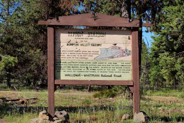
Tipton to South Fork
Tipton to South Fork is an outstanding forest-road route perfect for SxSs, ATVs, dirt bikes, and high-clearance four-wheel-drive vehicles looking to explore the scenic heart of the Blue Mountains. This trail winds along established Forest Service roads, offering spectacular, wide-open views into the...
Learn more about Tipton to South Fork
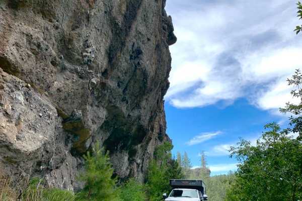
MRS RD 4550000
MRS RD 4550000, also known as Forest Service Road 4550, is a scenic 14.1-mile point-to-point route in the Malheur National Forest of Oregon, perfect for four-wheel-drive vehicles and SxSs looking for a mild mountain climb with excellent dispersed camping. Starting near the Middle Fork of the John Da...
Learn more about MRS RD 4550000
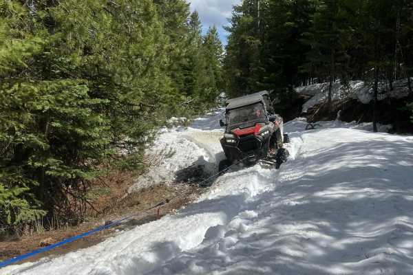
Railbed Riot
The railbed riot is a scenic UTV trail that winds through rugged forest service roads, alpine meadows, and dense pine forests. This approximately 20-mile trail provides riders with breathtaking mountain views, opportunities to spot big game, and a mix of terrain perfect for beginner to intermediate ...
Learn more about Railbed Riot
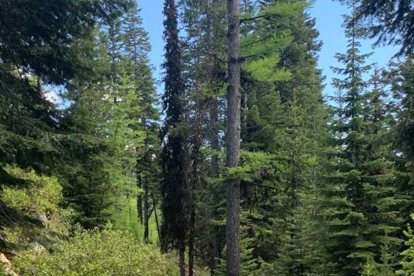
Jump Off Joe
This scenic nearly nineteen mile route climbs to an elevation of 6,436 feet above sea level. And, as you probably know that translates to incredible views. To the south a valley that cradles the middle fork of the John Day River. To the north lies the Umatilla National Forest and its 212,000 plus ac...
Learn more about Jump Off Joe
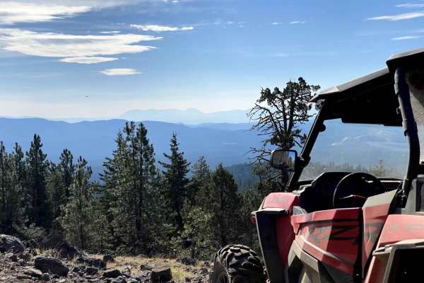
Karls Beer Run
The is a connecting loop to many areas around blue springs and greenhorn. It is an adventure for both new and skilled riders. There are views into Whitney valley and Sumpter Valley. There are lots of opportunities for on and off-trail riding. There are some steep climbs and easy travel on Forest Ser...
Learn more about Karls Beer Run
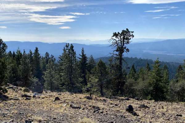
Karls Loop
This is an off-trail loop that connects back to Sawmill. It has some technical climbs that do require skilled navigation, high power, and good traction. This climb gives the opportunity to look into Sumpter Valley. Technical sections included riding in and around trees, over rocks, stumps, and other...
Learn more about Karls Loop
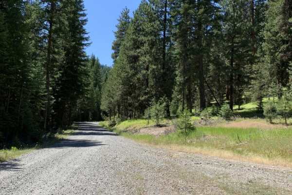
Cub Creek
Cub Creek is a scenic, multi-use route perfect for offroaders of all skill levels, offering a well-maintained connection between the historic mining town of Sumpter and the scenic North Fork of the Burnt River. Ideal for ATVs, SxSs, and dirt bikes during the warmer months, this route features a prim...
Learn more about Cub Creek
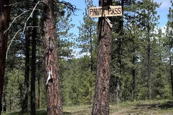
Panty Pass
Panty Pass is a great morning adventure ride near Sumpter. The route includes some steep, rocky climbs, Forest Service roads, and travel through the forest. Views include Greenhorn, Phillips Lake, and surrounding areas of Sumpter. The terrain requires 4x4 and high-clearance vehicles. This ride would...
Learn more about Panty Pass
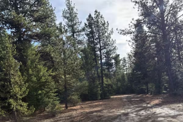
Sharps Ridge - FS 3026
Sharps Ridge takes off from FS 3988 at Oasis Springs, and depending on the time of year, can be extremely muddy and boggy to traverse. The first section through the trees is the worst of it, but once you break out of the trees and start gaining elevation it becomes a relatively easy 2-track trail. F...
Learn more about Sharps Ridge - FS 3026
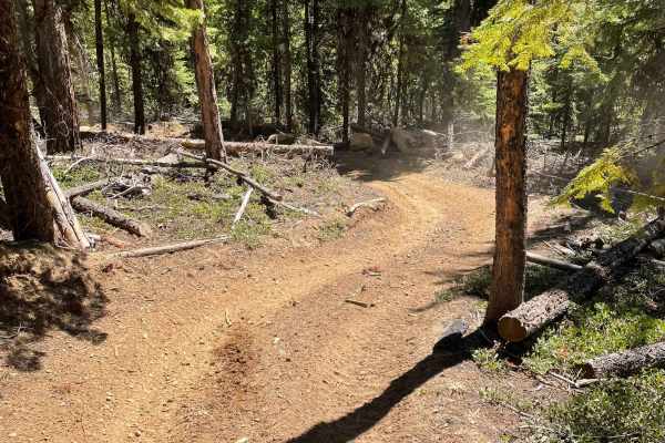
Blue Mountains Trail 1972
Dirt Bike and ATV trail through the mountains with great views, twists, turns and lots of challenges. This area seems to get used by Side by Sides on the gravel roads and the ATV trails are hardly used and are in great shape. We love this area for it's views, seclusion and great weather.
Learn more about Blue Mountains Trail 1972
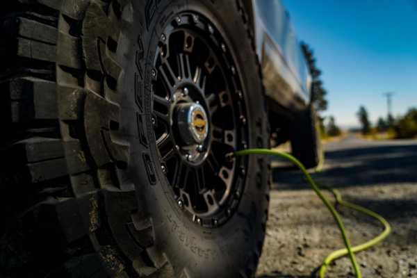
Marble Creek Pass
Marble Creek Pass is in the Elkhorn Mountain range west of Baker City in eastern Oregon. Marble Creek Road out of Baker City becomes forest road NF6510 (Marble Creek Pass Rd). It's approximately 9 miles to the top of the ridge in the Elkhorns, with an elevation of 7,542 feet. In early spring throug...
Learn more about Marble Creek Pass
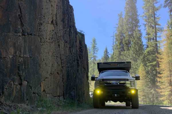
Marble Creek Pass to Sumpter
This scenic 7.9-mile point-to-point route from Sumpter to Marble Creek Pass is perfect for beginners, families, and offroaders seeking a relaxed, scenic drive through the dense evergreens of the Wallowa-Whitman National Forest. Starting in the historic gold-mining town of Sumpter at an elevation of ...
Learn more about Marble Creek Pass to Sumpter
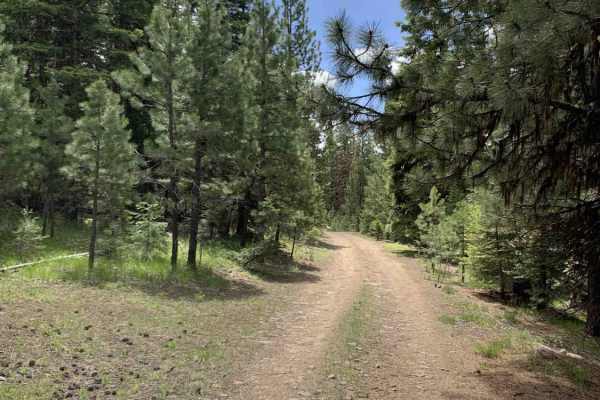
Malheur Ford
This is a longer, more adventurous, alternative to the section on NF-16 that passes through Crane Prairie. Along the route you'll encounter a water crossing, numerous wild camping sites, and incredible views of the Malheur River. This route includes wide open higher speed gravel road as well as narr...
Learn more about Malheur Ford
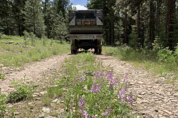
NFDR1675 Crane Creek CG
This short trail provides a great selection of campsites, mild technical obstacles and a few water crossings. Things start out pretty easy. As you meander along to the North Fork of the Malheur River, the terrain becomes more challenging after crossing the bridge and passing the larger semi-develope...
Learn more about NFDR1675 Crane Creek CG
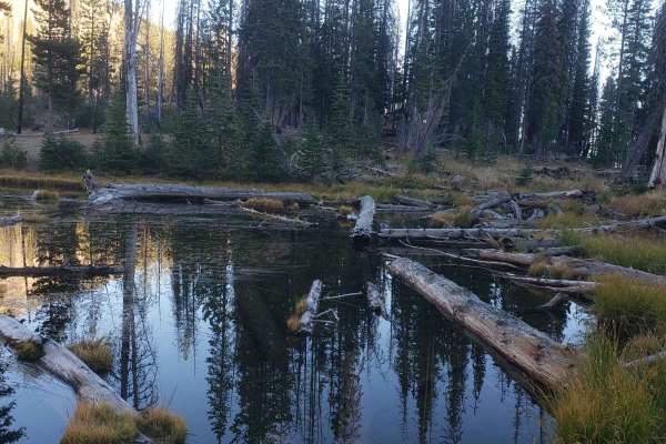
High Lake Road
This route is a well maintained gravel road that accesses High Lake, as well as Indian Springs and the Strawberry Mountain Wilderness. Much of the route was burned years ago and has dangerous standing trees near the road, so keeps your eyes open and look up. The hike to High Lake is a very short hik...
Learn more about High Lake Road
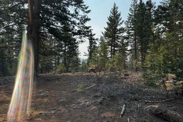
Elk Mountain Loop
Ladd Canyon Sno-Park Trail. This mountain trail begins at the Sno-Park in Ladd Canyon and mostly follows Forest Service roads, making it an easy and accessible route. It’s perfect for a day trip—whether you’re heading out with a large group or going solo to enjoy the peace and quiet. Along the way, ...
Learn more about Elk Mountain Loop
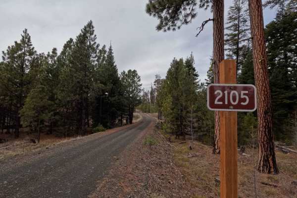
FS 2105
FS 2015 is an 8.3-mile point-to-point gravel road connecting FS 5316 with FS 2104. Starting from the east at the intersection with FS 2104, the trail descends into a canyon with steep sections in areas before crossing several creeks. It then climbs back up the opposite side of the canyon, transition...
Learn more about FS 2105
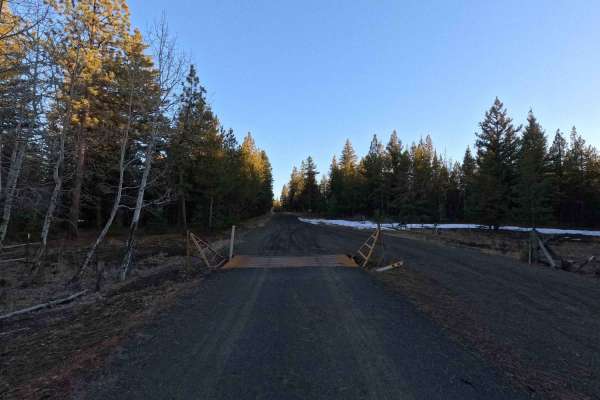
FS 5312
FS 5312 is a 6.7-mile point-to-point trail beginning at its intersection with FS 53 and terminating at FS 5320. The road surface is wide, well-maintained, and generally smooth, with some sections of washboarding and water damage. In wet conditions, the road surface can become soft. This trail is man...
Learn more about FS 5312
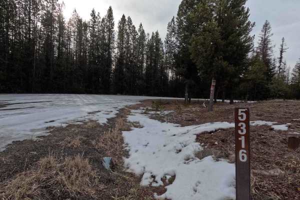
FS 5316
FS 5316 is a 15.9-mile out-and-back trail branching off FS 53 and winding through the Umatilla National Forest before terminating at a private property boundary 1 mile past Potamus Point. The trail is wide, gravel, and well-maintained with only sparse washboarding and potholes throughout; however, t...
Learn more about FS 5316
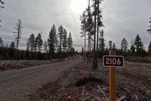
FS 2106
FS 2106 is a 4.7-mile out-and-back trail branching off FS 2105. The route winds through clear-cut areas, transitioning into new-growth forests before terminating at a small turnaround. With numerous spur trails and open areas for dispersed camping, FS 2106 is an excellent trail for stock, low-cleara...
Learn more about FS 2106
ATV trails near Greenhorn, Oregon
Explore ATV-friendly trails near you. These trails are accessible for vehicles up to 50 inches wide, perfect for ATVs and smaller off-road machines.
Tipton to South Fork
Tipton to South Fork is an outstanding forest-road route perfect for SxSs, ATVs, dirt bikes, and high-clearance four-wheel-drive vehicles looking to explore the scenic heart of the Blue Mountains. This trail winds along established Forest Service roads, offering spectacular, wide-open views into the...
Learn more about Tipton to South Fork
MRS RD 4550000
MRS RD 4550000, also known as Forest Service Road 4550, is a scenic 14.1-mile point-to-point route in the Malheur National Forest of Oregon, perfect for four-wheel-drive vehicles and SxSs looking for a mild mountain climb with excellent dispersed camping. Starting near the Middle Fork of the John Da...
Learn more about MRS RD 4550000
Railbed Riot
The railbed riot is a scenic UTV trail that winds through rugged forest service roads, alpine meadows, and dense pine forests. This approximately 20-mile trail provides riders with breathtaking mountain views, opportunities to spot big game, and a mix of terrain perfect for beginner to intermediate ...
Learn more about Railbed Riot
Jump Off Joe
This scenic nearly nineteen mile route climbs to an elevation of 6,436 feet above sea level. And, as you probably know that translates to incredible views. To the south a valley that cradles the middle fork of the John Day River. To the north lies the Umatilla National Forest and its 212,000 plus ac...
Learn more about Jump Off Joe
UTV/side-by-side trails near Greenhorn, Oregon
Find UTV and side-by-side trails near you. These trails accommodate vehicles up to 60 inches wide, ideal for UTVs, side-by-sides, and wider off-road rigs.
Tipton to South Fork
Tipton to South Fork is an outstanding forest-road route perfect for SxSs, ATVs, dirt bikes, and high-clearance four-wheel-drive vehicles looking to explore the scenic heart of the Blue Mountains. This trail winds along established Forest Service roads, offering spectacular, wide-open views into the...
Learn more about Tipton to South Fork
MRS RD 4550000
MRS RD 4550000, also known as Forest Service Road 4550, is a scenic 14.1-mile point-to-point route in the Malheur National Forest of Oregon, perfect for four-wheel-drive vehicles and SxSs looking for a mild mountain climb with excellent dispersed camping. Starting near the Middle Fork of the John Da...
Learn more about MRS RD 4550000
Railbed Riot
The railbed riot is a scenic UTV trail that winds through rugged forest service roads, alpine meadows, and dense pine forests. This approximately 20-mile trail provides riders with breathtaking mountain views, opportunities to spot big game, and a mix of terrain perfect for beginner to intermediate ...
Learn more about Railbed Riot
Jump Off Joe
This scenic nearly nineteen mile route climbs to an elevation of 6,436 feet above sea level. And, as you probably know that translates to incredible views. To the south a valley that cradles the middle fork of the John Day River. To the north lies the Umatilla National Forest and its 212,000 plus ac...
Learn more about Jump Off Joe
The onX Offroad Difference
onX Offroad combines trail photos, descriptions, difficulty ratings, width restrictions, seasonality, and more in a user-friendly interface. Available on all devices, with offline access and full compatibility with CarPlay and Android Auto. Discover what you're missing today!
Open Trail Map