
Dirt Bike Trails
Near Flagstaff, Arizona
Explore All Dirt Bike Trails Near Flagstaff, Arizona
Dirt Bike Trails Near Flagstaff, Arizona
Discover the best dirt bike trails near you. Browse trail maps, check difficulty ratings, and find your next adventure — whether you're looking for a quick ride or an all-day expedition.
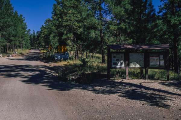
Schultz Pass
Schultz Pass is a beautiful road that cuts through the Coconino National Forest outside of Flagstaff, Arizona. This road is well traveled, with no obstacles on it. It's wide and gravel, and a popular spot for hikers and mountain bikers alike, with numerous named mountain bike and hiking trails that ...
Learn more about Schultz Pass
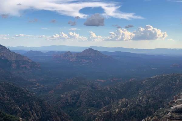
Edge of the World
Edge of the World (FS RD 231) is a wonderfully scenic, and easy, a route traversing through AZ State Trust land and Coconino National Forest leaving Flagstaff and heading South toward the East Pocket Lookout. Start your adventure through the Ponderosa pines by passing a couple of parks en route to R...
Learn more about Edge of the World
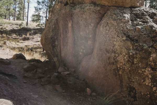
Chimney
Chimney is an easy and flowy single track in the trail system north of Flagstaff that goes through a dry pine tree forest. The trail has lots of easy curves, small rocks, and roots, and is mostly flat, making it great for a beginner rider. There is one tiny shelfy section with a small root ledge, ot...
Learn more about Chimney
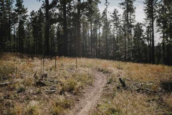
Flue
Flue is an easy single-track trail that meanders through a flat forest floor with dispersed pine trees and lots of dry grass. The forest type here is almost more like a high desert; it's pretty dry and pretty hot in the summer. The trail is very easy. It has a couple of sharp turns where it doubles ...
Learn more about Flue
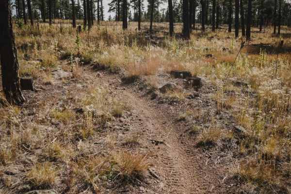
Damper
Damper is a short connector trail between Moto and Flue and is very similar to the Flue and Chimney trails in this trail network. It has small rocks and roots that are not difficult, and lots of small curves. It goes through a dry alpine terrain with very dispersed pine trees and is mostly flat. A b...
Learn more about Damper
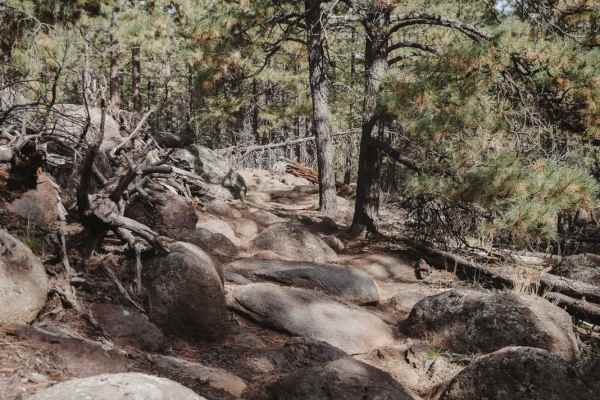
Moto
The Moto Trail is a 4.9-mile single track in the Fort Valley Trail System that starts from the main staging area on the south end of the trail system. The first 3.5 miles going south to north are very easy, at a 3 difficulty. This section is an easy dirt single track that weaves through the pine tre...
Learn more about Moto
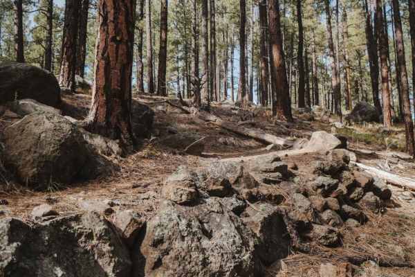
Poker
This is a short single-track trail that departs from and reconnects to the Moto Trail, running parallel to Moto for about 0.3 miles. It's less ridden and is a bit tighter in the trees, slightly more difficult than the parallel section of Moto. There's a downed log that you have to get over, some big...
Learn more about Poker
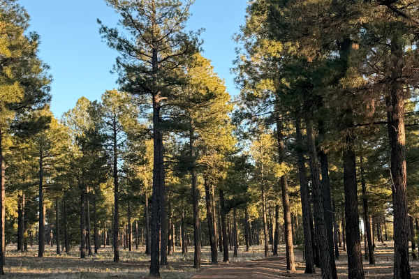
Backside of Tuthill
The Backside of Tuthill is an easy trail off shoot from the Edge of The World Trail. This area is very shaded and often very muddy. A very easy trail and a fun adventure. This trail ends at a spot where there are boulders blocking the roadways onto the military base. (see pictures)
Learn more about Backside of Tuthill
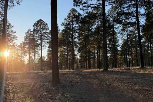
Lost Logger Trail
Hidden among Flagstaff’s tall pines, this easy Level 2 trail follows an old logging road rarely used today. The path is wide and forgiving, with gentle grades, packed dirt, and scattered pine needles. Ideal for beginners and relaxed cruising, it offers quiet forest scenery, cool shade, and a peacefu...
Learn more about Lost Logger Trail
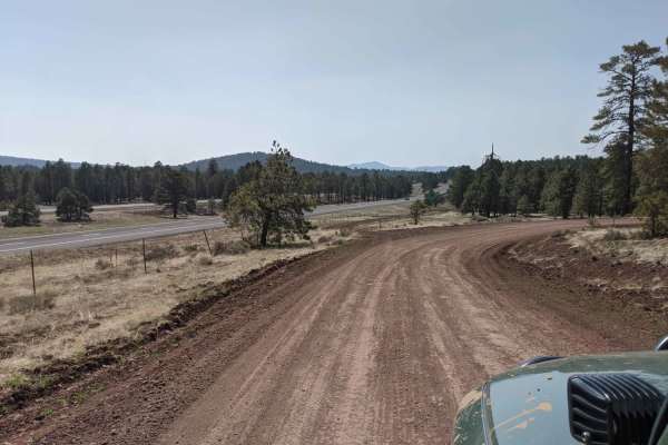
00518 Road
00518 Road is a 7.2-mile offroad route near Bellemont and Flagstaff, Arizona, perfect for beginners and scenic cruisers looking for a quick escape into the Coconino National Forest. Winding through dense ponderosa pines, this easy dirt road features minimal elevation change, starting at 7,283 feet a...
Learn more about 00518 Road
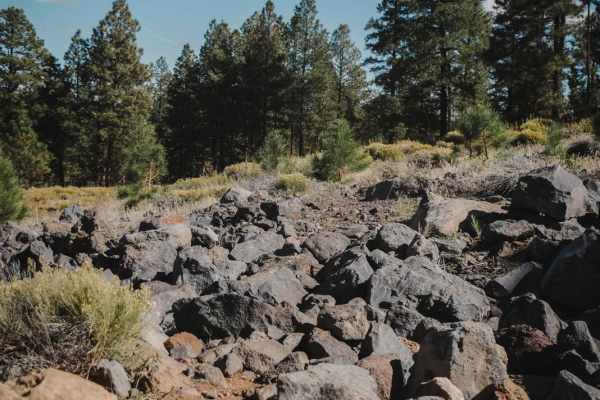
Mary's Dinner
Mary's Dinner is a 2-mile single-track offshoot from the Airport Trail that goes through a technical rock garden. It starts at the Fay Ridge Trailhead and is a completely optional trail since it spurs off of Airport in a lollipop shape and returns to the same spot. There is a small section of rocks ...
Learn more about Mary's Dinner
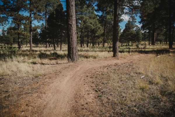
Airport Connector
Airport Connector is a 0.7-mile short connector trail in the middle of the Airport Trail loop that connects the north and south halves of the loop. It's an easy trail that is a good way to shortcut your ride if you don't want to ride all 17 miles of the Airport Trail. Taking the Airport Connector cu...
Learn more about Airport Connector
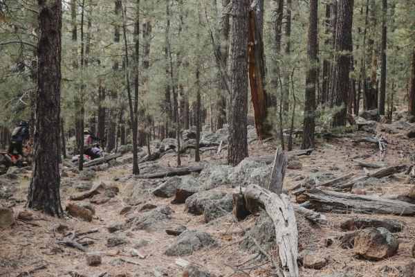
Rocky Moto
Rocky Moto is a fun and challenging trail in the Fort Valley Trail System with tons of big boulders embedded in the trail and on the edges of the trail. It goes through boulder fields and rock gardens, often made up of volcanic rock. It's sometimes pretty faint, especially with tons of pine needles ...
Learn more about Rocky Moto
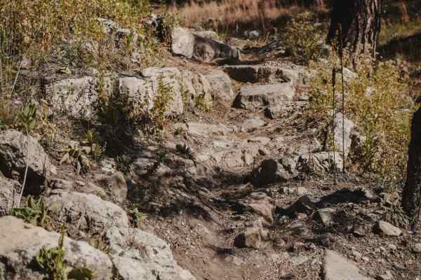
Airport
Airport Trail is a long single-track trail in the Coconino National Forest south of Flagstaff, Arizona, in the Kelly Motorized Trail System. This one is about a 17-mile loop, with lots of tight twisty turns, and full of rocks. There is a trailhead on the north end at the start of Mary's Dinner, and ...
Learn more about Airport
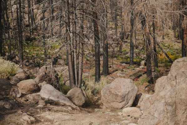
Newham
Newham is a short single track in the Fort Valley Trail System that connects Secret to Moto. The trail looks less ridden, but is slightly easier than both Secret and Moto, so it can be used as a shortcut to cut off small portions of the more difficult trails. Newham goes through a similar terrain as...
Learn more about Newham
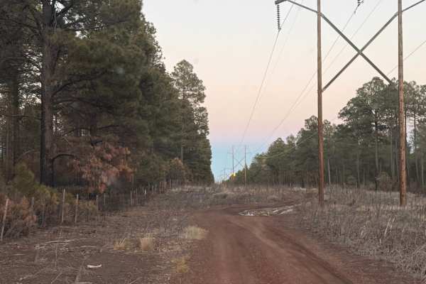
Flagstaff Powerline Trail
This scenic off-road trail near Flagstaff follows established powerlines through dense pine forest and cool high-country terrain. The route is mostly smooth and well-traveled, making it accessible for most high-clearance vehicles. Rated a 2 overall, it features one moderate obstacle that adds a bit ...
Learn more about Flagstaff Powerline Trail
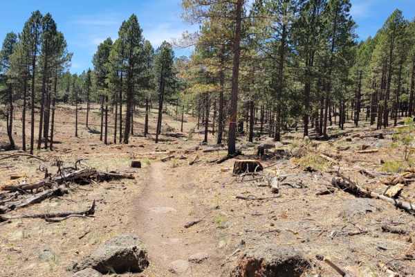
Secret
The Secret Trail is part of the Fort Valley Trail System in Coconino National Forest. The trail is most easily accessed from the Sunset Trailhead approximately 5 miles up Shultz Pass Road. The trail starts off as a nice single track with some fun switchbacks and short rocky sections. It then proceed...
Learn more about Secret
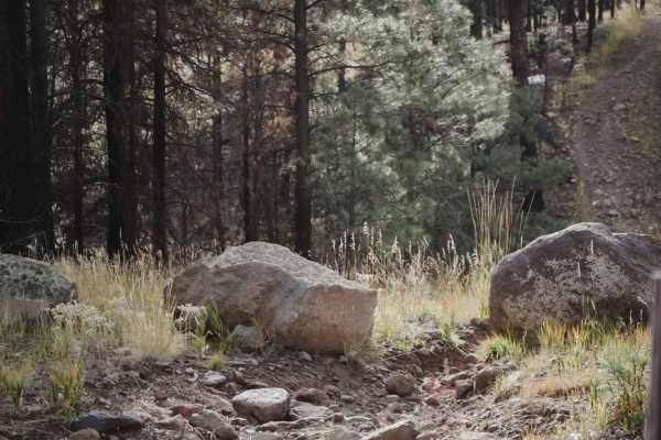
Pipeline
The Pipeline is an old pipeline road running east to west that has been closed to full-width vehicles and can be ridden to connect Secret and Rocky Moto single-track trails. It's pretty rocky with lots of washouts and ruts from rain. It has big ups and downs as it crosses the rolling hills, with hug...
Learn more about Pipeline
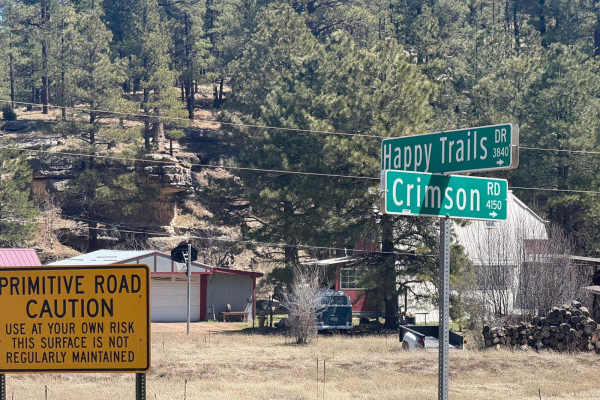
Crimson Road to FS 132 Junction
This is a short road that connects Crimson Road to FR 132. However, the last section that connects it is private access only. There is no public easement, so you must have permission from the home owner to crossover from Crimson Road to FS 132.
Learn more about Crimson Road to FS 132 Junction
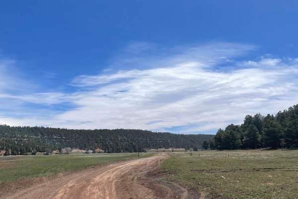
Lower Lake Mary Semi Loop
This trail clocks in at 3.4 miles long and provides access to the southwest side of Lower Lake Mary. The trail is a maintained dirt road that has some small rocky sections on the southern portion. Camping is only allowed on the first mile of the northwestern part of this road. In this area, there ar...
Learn more about Lower Lake Mary Semi Loop
ATV trails near Flagstaff, Arizona
Explore ATV-friendly trails near you. These trails are accessible for vehicles up to 50 inches wide, perfect for ATVs and smaller off-road machines.
Schultz Pass
Schultz Pass is a beautiful road that cuts through the Coconino National Forest outside of Flagstaff, Arizona. This road is well traveled, with no obstacles on it. It's wide and gravel, and a popular spot for hikers and mountain bikers alike, with numerous named mountain bike and hiking trails that ...
Learn more about Schultz Pass
Edge of the World
Edge of the World (FS RD 231) is a wonderfully scenic, and easy, a route traversing through AZ State Trust land and Coconino National Forest leaving Flagstaff and heading South toward the East Pocket Lookout. Start your adventure through the Ponderosa pines by passing a couple of parks en route to R...
Learn more about Edge of the World
Backside of Tuthill
The Backside of Tuthill is an easy trail off shoot from the Edge of The World Trail. This area is very shaded and often very muddy. A very easy trail and a fun adventure. This trail ends at a spot where there are boulders blocking the roadways onto the military base. (see pictures)
Learn more about Backside of Tuthill
Lost Logger Trail
Hidden among Flagstaff’s tall pines, this easy Level 2 trail follows an old logging road rarely used today. The path is wide and forgiving, with gentle grades, packed dirt, and scattered pine needles. Ideal for beginners and relaxed cruising, it offers quiet forest scenery, cool shade, and a peacefu...
Learn more about Lost Logger Trail
UTV/side-by-side trails near Flagstaff, Arizona
Find UTV and side-by-side trails near you. These trails accommodate vehicles up to 60 inches wide, ideal for UTVs, side-by-sides, and wider off-road rigs.
Schultz Pass
Schultz Pass is a beautiful road that cuts through the Coconino National Forest outside of Flagstaff, Arizona. This road is well traveled, with no obstacles on it. It's wide and gravel, and a popular spot for hikers and mountain bikers alike, with numerous named mountain bike and hiking trails that ...
Learn more about Schultz Pass
Edge of the World
Edge of the World (FS RD 231) is a wonderfully scenic, and easy, a route traversing through AZ State Trust land and Coconino National Forest leaving Flagstaff and heading South toward the East Pocket Lookout. Start your adventure through the Ponderosa pines by passing a couple of parks en route to R...
Learn more about Edge of the World
Backside of Tuthill
The Backside of Tuthill is an easy trail off shoot from the Edge of The World Trail. This area is very shaded and often very muddy. A very easy trail and a fun adventure. This trail ends at a spot where there are boulders blocking the roadways onto the military base. (see pictures)
Learn more about Backside of Tuthill
Lost Logger Trail
Hidden among Flagstaff’s tall pines, this easy Level 2 trail follows an old logging road rarely used today. The path is wide and forgiving, with gentle grades, packed dirt, and scattered pine needles. Ideal for beginners and relaxed cruising, it offers quiet forest scenery, cool shade, and a peacefu...
Learn more about Lost Logger Trail
The onX Offroad Difference
onX Offroad combines trail photos, descriptions, difficulty ratings, width restrictions, seasonality, and more in a user-friendly interface. Available on all devices, with offline access and full compatibility with CarPlay and Android Auto. Discover what you're missing today!
Open Trail Map