Trail Overview
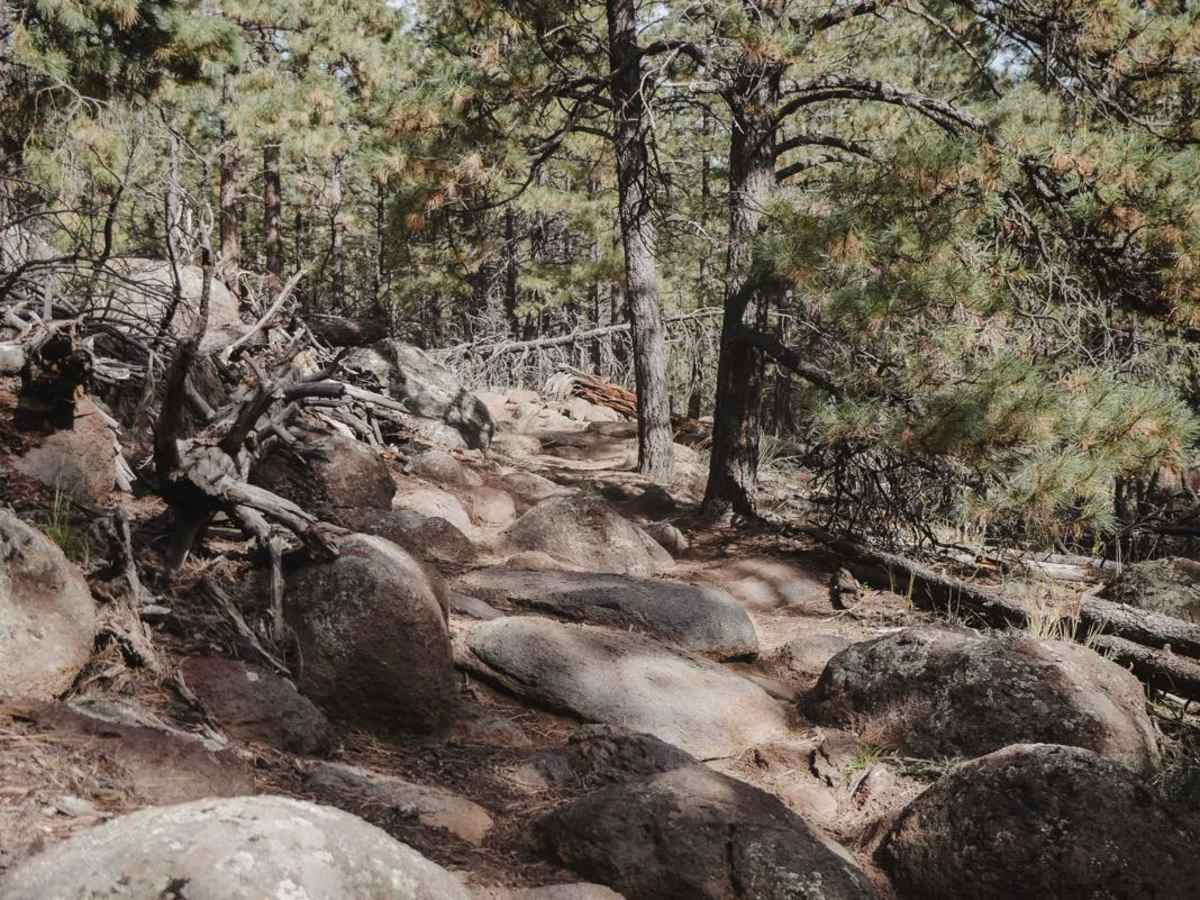
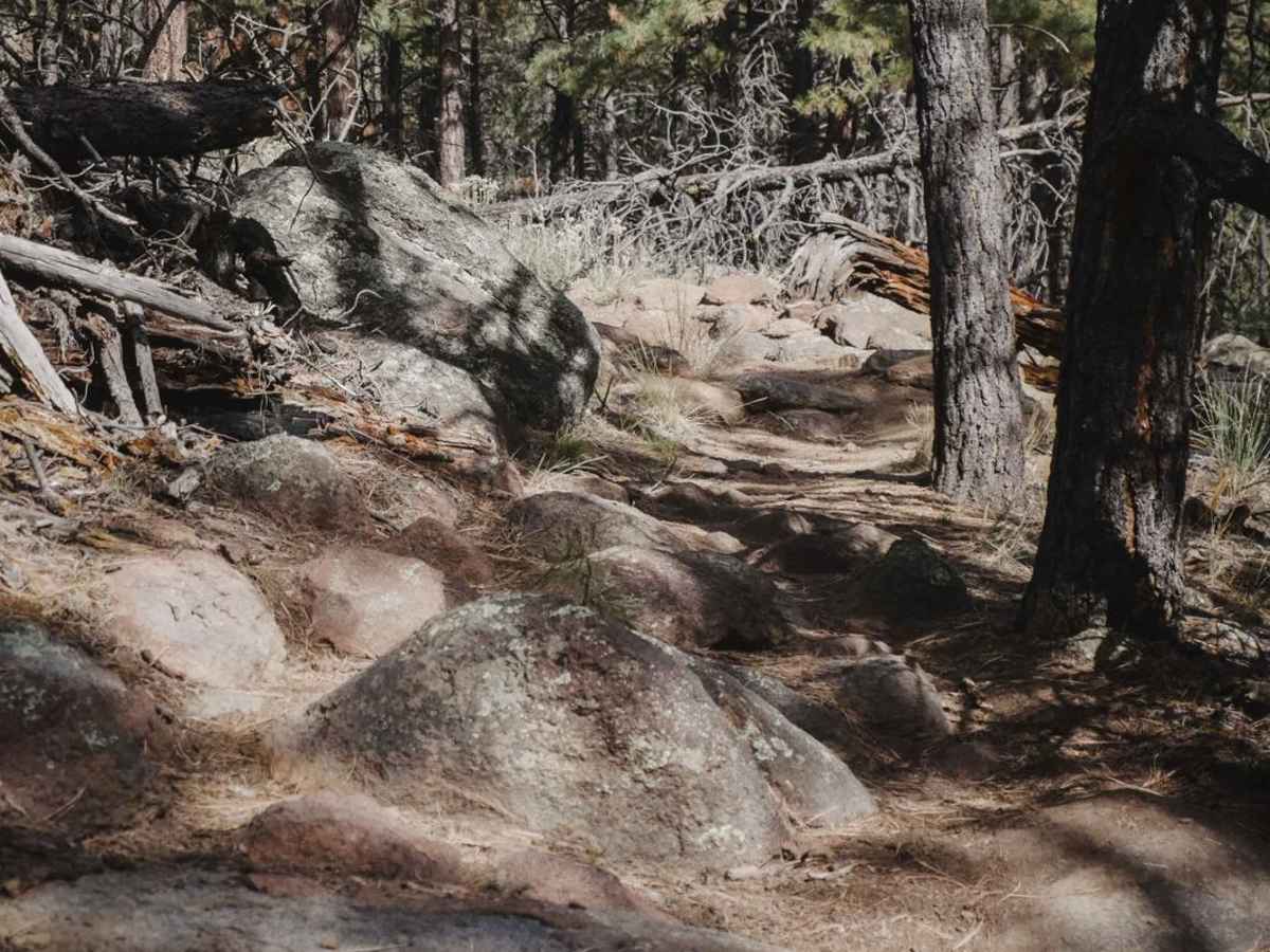
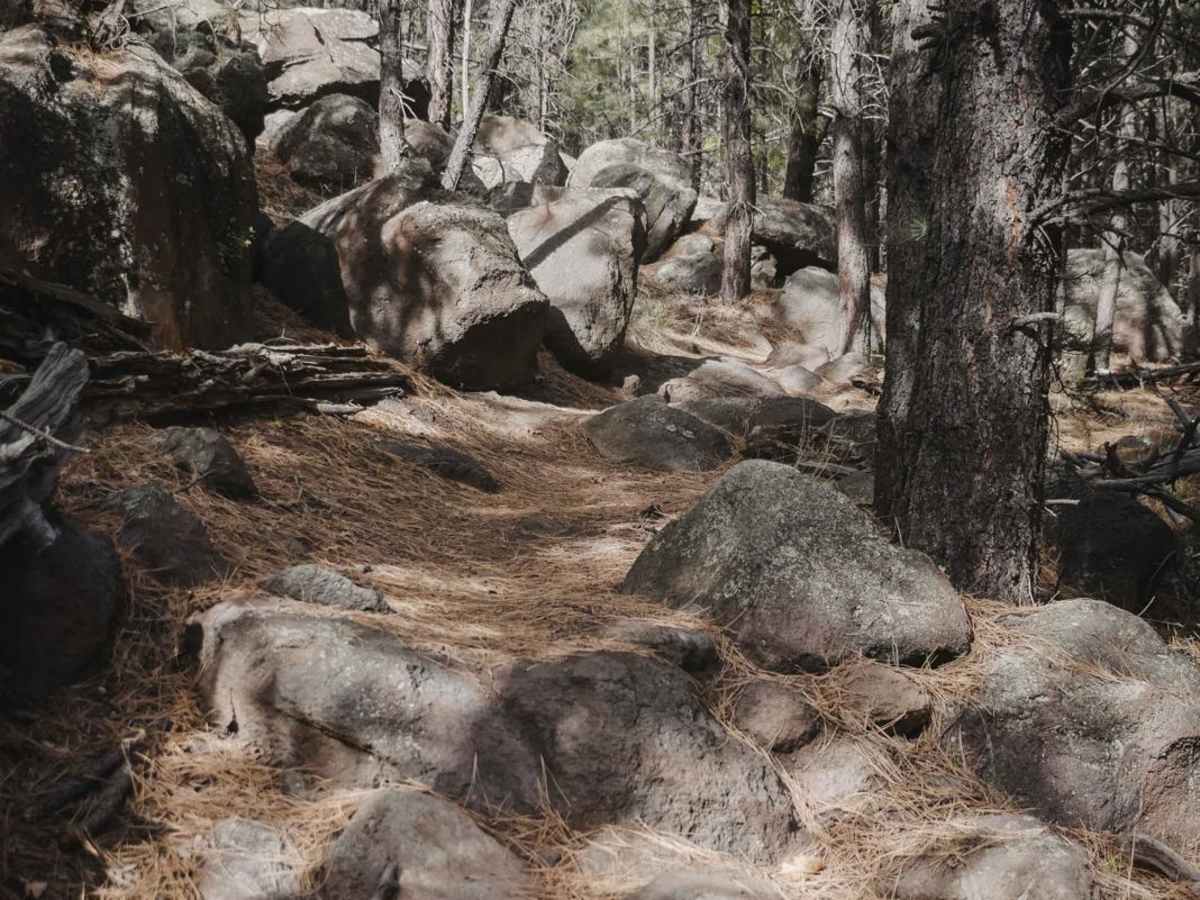
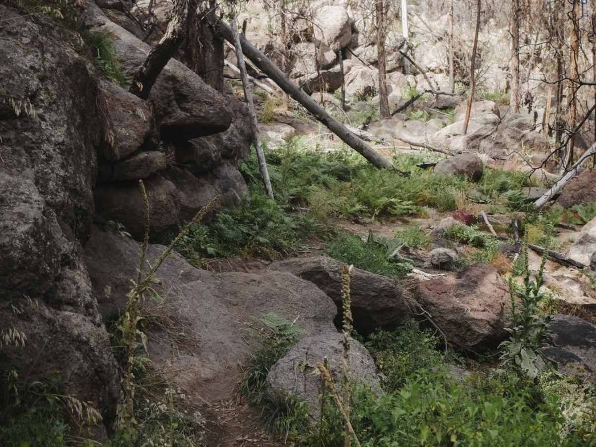
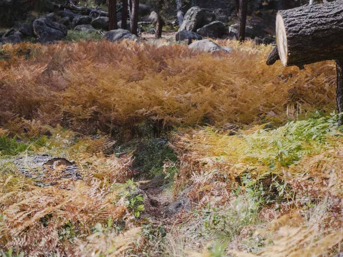
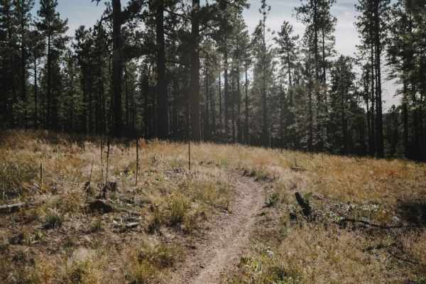
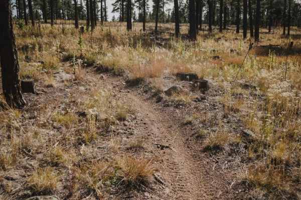
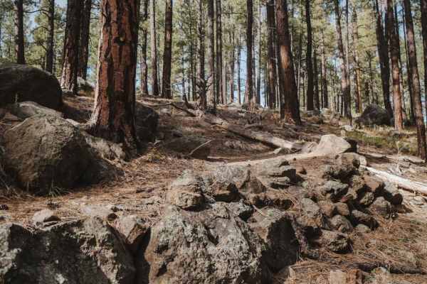
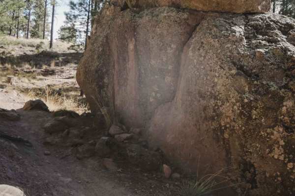
The Moto Trail is a 4.9-mile single track in the Fort Valley Trail System that starts from the main staging area on the south end of the trail system. The first 3.5 miles going south to north are very easy, at a 3 difficulty. This section is an easy dirt single track that weaves through the pine tree forest with small embedded rocks and roots in the trail and tight curves, but no major obstacles. It goes through a mix of sun and shade and goes past several intersections, all of which are well-marked. The terrain completely changes for the northern 1.5 miles north of the intersection with Pipeline. The trail becomes significantly more difficult, at a 6 difficulty. This section of the trail weaves through giant boulders, working its way up a hillside that is a boulder field. There are giant boulders embedded in the trail, with many rock pinches and rock slab faces you have to go up and get around. There are also several tight switchbacks where you have to get around the boulders as well. This section would be quite tricky for the inexperienced rider. There isn't any exposure here or on any of the obstacles;you just have to get through the boulder gardens. It's easier to ride the face of the boulders and stay out of the holes so your tire doesn't get pinched or start spinning. The forest up here gets really pretty, with more plants and bushes. It's a really fun section of trail if you're looking for more of a challenge than what is offered at the south end of the trail system.