
Dirt Bike Trails
Near Corvallis, Montana
Explore All Dirt Bike Trails Near Corvallis, Montana
Dirt Bike Trails Near Corvallis, Montana
Discover the best dirt bike trails near you. Browse trail maps, check difficulty ratings, and find your next adventure — whether you're looking for a quick ride or an all-day expedition.
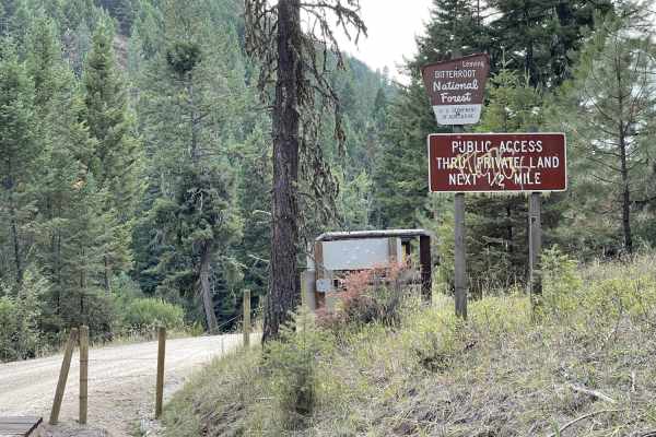
Lower Willow St Clair
Lower Willow St Clair offers an easy, scenic drive through the foothills of the Bitterroot National Forest, making it perfect for beginners, scenic drivers, and high-clearance four-wheel-drive vehicles or SxSs looking for a relaxing mountain getaway. Spanning approximately 4.2 miles, this point-to-p...
Learn more about Lower Willow St Clair
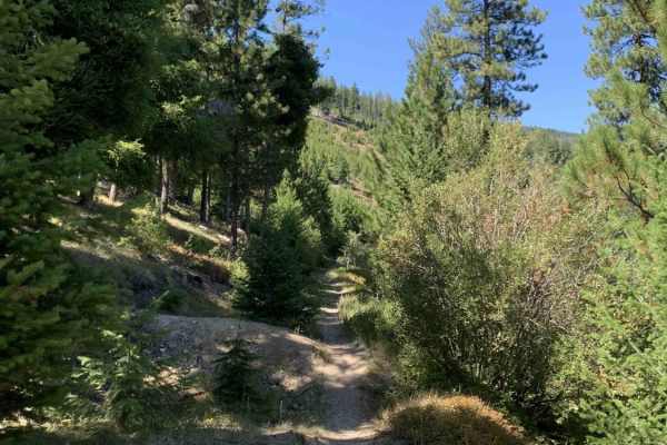
Cow Creek Road and Shiefman Hiking Trail
Generally, this is an easy dirt road that consists of multiple switchbacks and some decent elevation climbs. It begins in a neighborhood where it is asked to please drive slowly, and after, it turns into a dirt forest road. It should be pretty easy for an adventurous city car to make it, at least al...
Learn more about Cow Creek Road and Shiefman Hiking Trail
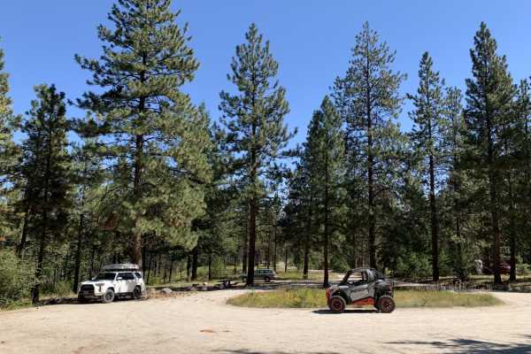
Mill Creek Trailhead
Mill Creek Trailhead is a short, beginner-friendly route in the Bitterroot National Forest that offers quick, scenic access to one of the area’s popular hiking destinations. Spanning just under 0.8 miles, this easy gravel and dirt road is suitable for all vehicle types, including standard passenger ...
Learn more about Mill Creek Trailhead
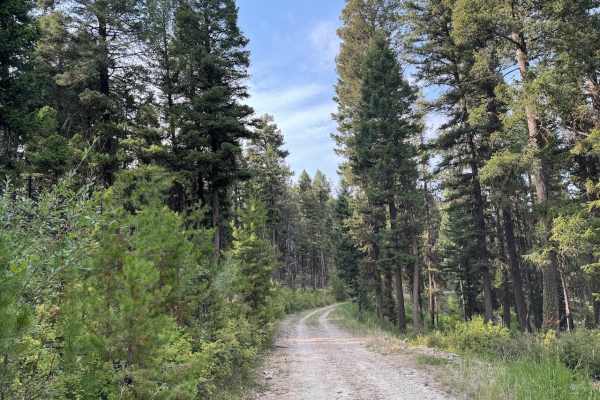
Gold Creek
Gold Creek Trail is a good trail to check out when in the Willow Creek area. The trail is an eleven mile out and back that has a maximum difficulty of a 3/10. For full width vehicles, this trail is only open from June 16 - October 14. To find this trail you will need to take the "Lower Willow St Cla...
Learn more about Gold Creek
Bear Creek Overlook Trail
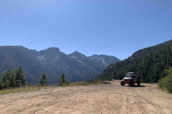
A well-maintained dirt road that is easily driven or accessible by all types of vehicles including 2WD passenger cars. The first half of the trail is a nice winding drive through tall pine trees the second half of the trail opens up to mountain views over the Bitterroot Valley and a few spots look o...
Learn more about Bear Creek Overlook Trail
Willow Mountain to Burnt Fork Lake Hiking trail
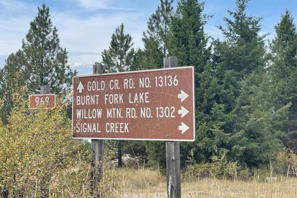
Easy graded narrow trail. Lots of pullouts to pass other drivers; some of the corners are steeper with looser gravel. Be alert for people collecting firewood and their trucks parked right in the road as they drag trees from the forest. We encountered horseback riders, dirtbike riders, and SXS's on t...
Learn more about Willow Mountain to Burnt Fork Lake Hiking trail
Upper Willow Saint Clair
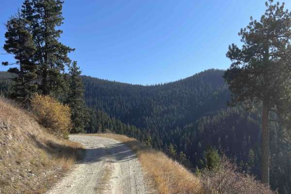
This is an easy, mostly graded trail into the hills. There are outstanding views of the Bitterroot Valley below. There is intermittent cell service and no winter maintenance. The last few miles become more narrow and challenging with ruts and puddles. There are lots of other trails that spur off of ...
Learn more about Upper Willow Saint Clair
St Clair
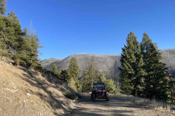
The trail starts easy and flat. Be on the lookout for downed trees and rock slides or boulders in the trail. It gets more difficult the further back you go. Mud holes and springs run across the trail in a few places. There are a few dispersed camping spots along the way. Be on the lookout for firewo...
Learn more about St Clair
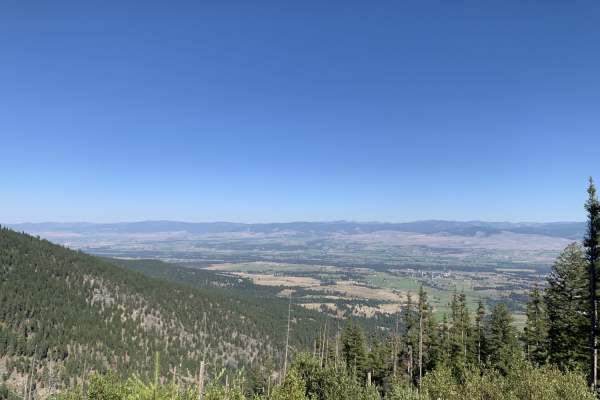
Gash Creek
Most of the trail up is a smooth easy graded road and would be no issue for any vehicle but it has been trimmed on either side of the road so it would be fine for larger vehicles as well. Beautiful scenic drive along the edge of the mountain in and out of the trees tons of stunning views. In some ar...
Learn more about Gash Creek
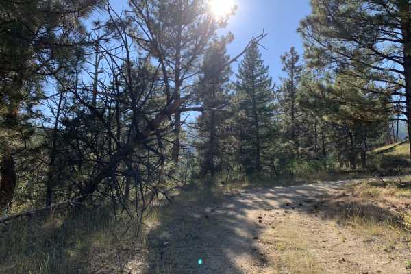
Gash Sweathouse Face Trail
Easy dirt forest road, less traveled and pretty overgrown. No problem for SxS and smaller vehicles. Small trucks and small 4x4 SUVs would make it but might incur scratches. Larger vehicles would need to do some trail maintenance to proceed. Low hanging tree across the trail in one spot. The trail is...
Learn more about Gash Sweathouse Face Trail
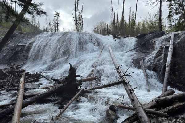
Sweathouse Creek
Sweathouse Creek Trail is a trail only open to motorcycles, as far as motorized vehicles go. This is a very difficult trail to ride on a dirt bike, so be prepared; you will likely break a sweat on Sweathouse. The first mile of this trail is pretty easy. At the trailhead, it starts as a trail nearly ...
Learn more about Sweathouse Creek
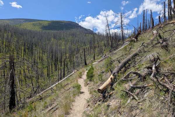
Ward Mountain
This is an excellent single-track trail that allows you to gain 4,800 feet in elevation in the 6.2 miles to the top of Ward Mountain. Fantastic views of the Bitterroot Valley and into the Roaring Lion Creek drainage. This trail has sustained climbs and loose rocks in certain areas. The first third o...
Learn more about Ward Mountain
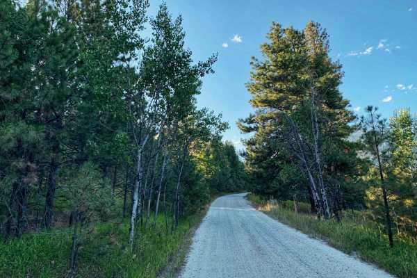
Big Creek Trailhead
This is a short and beautiful drive. It's a windy and easy graded road that almost any car can make. Once you pass the residential area, the trail twists back and forth through a beautiful canyon and ends at a hiking trailhead with several parking spots, a pit toilet, and one official campsite with ...
Learn more about Big Creek Trailhead
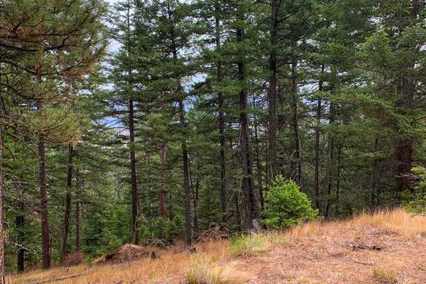
Smith Ridge Dead End
Smith Ridge Dead End offers a tight, scenic forest crawl for high-clearance four-wheel-drive owners and SxS riders seeking a brief detour off the main Smith Creek route. Spanning approximately 0.7 miles through a dense canopy, this unpaved spur begins with dispersed camping opportunities before maki...
Learn more about Smith Ridge Dead End
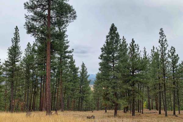
Smiths Grassy Offshoot
A grassy offshoot from Smiths Trail. Seasonally closed from Oct 14th through June 16th. This trail features a beautiful ride through the woods on a lesser traveled trail. Please use caution when stopping in the taller grasses in the summer months as hot exhaust could spark a fire, based on the heig...
Learn more about Smiths Grassy Offshoot
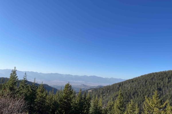
Head of Butterfly
Short out and back. 2 bars LTE. Very narrow. Not Recommended to take a vehicle wider or taller than an SXS. There is a small camp spot before the end which doubles as the final turnaround point. If you go any farther you will have to back out. Nice views of the BITTERROOT valley, a secluded camp spo...
Learn more about Head of Butterfly
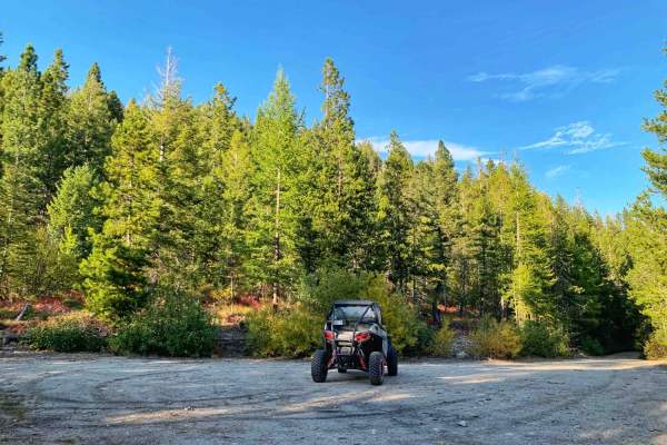
Smith Ridge
This is a twisty dirt out-and-back trail gaining elevation up to a nice campsite or turn around. It's a mostly treed trail with some beautiful views out to the Bitterroot Valley where the trees open up. Some of the trees are pines and others are aspens; it's a beautiful area to see in the fall when...
Learn more about Smith Ridge
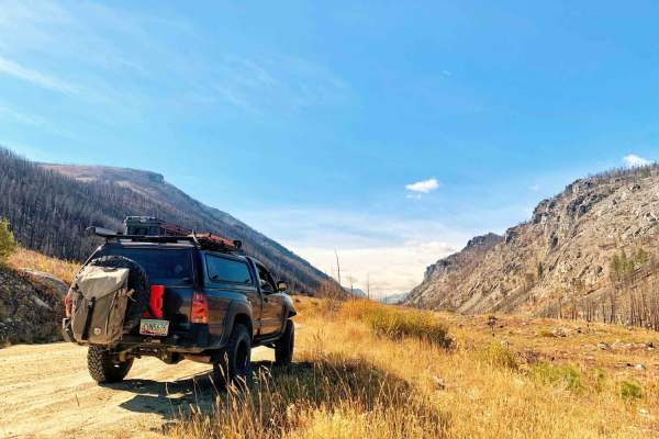
Roaring Lion
This is a short out-and-back dirt trail up one of the valleys with stunning panoramic views. There was a fire through the valley at some point that burned all the trees opening up what can be seen of the rock formations and the mountains. Roaring Lion Creek runs through the valley. At the end of ...
Learn more about Roaring Lion
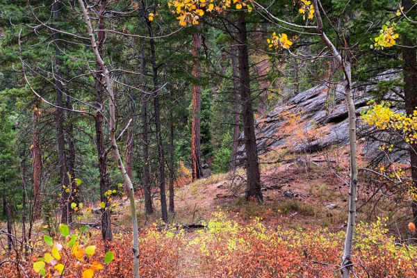
Lower Smith Ridge
This is an offshoot from the main trail. Seasonally closed Oct 14th through June 16th. It features forest views and chances to spot deer and elk. There is a small dispersed campsite at the end of the trail and a larger-style campsite on the way. The larger site has evidence of large bonfires and man...
Learn more about Lower Smith Ridge
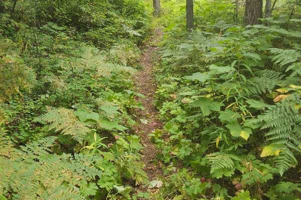
Gash Creek Singletrack
The trail starts right off the Forest Service road. The first half of the trail is smooth, flowy, simple - an easy 3. After the halfway point, the trail starts to climb north. If you try to follow it south, you will get stuck and have a very difficult time getting back out. This is the point where t...
Learn more about Gash Creek Singletrack
ATV trails near Corvallis, Montana
Explore ATV-friendly trails near you. These trails are accessible for vehicles up to 50 inches wide, perfect for ATVs and smaller off-road machines.
Lower Willow St Clair
Lower Willow St Clair offers an easy, scenic drive through the foothills of the Bitterroot National Forest, making it perfect for beginners, scenic drivers, and high-clearance four-wheel-drive vehicles or SxSs looking for a relaxing mountain getaway. Spanning approximately 4.2 miles, this point-to-p...
Learn more about Lower Willow St Clair
Cow Creek Road and Shiefman Hiking Trail
Generally, this is an easy dirt road that consists of multiple switchbacks and some decent elevation climbs. It begins in a neighborhood where it is asked to please drive slowly, and after, it turns into a dirt forest road. It should be pretty easy for an adventurous city car to make it, at least al...
Learn more about Cow Creek Road and Shiefman Hiking Trail
Mill Creek Trailhead
Mill Creek Trailhead is a short, beginner-friendly route in the Bitterroot National Forest that offers quick, scenic access to one of the area’s popular hiking destinations. Spanning just under 0.8 miles, this easy gravel and dirt road is suitable for all vehicle types, including standard passenger ...
Learn more about Mill Creek Trailhead
Gold Creek
Gold Creek Trail is a good trail to check out when in the Willow Creek area. The trail is an eleven mile out and back that has a maximum difficulty of a 3/10. For full width vehicles, this trail is only open from June 16 - October 14. To find this trail you will need to take the "Lower Willow St Cla...
Learn more about Gold Creek
UTV/side-by-side trails near Corvallis, Montana
Find UTV and side-by-side trails near you. These trails accommodate vehicles up to 60 inches wide, ideal for UTVs, side-by-sides, and wider off-road rigs.
Lower Willow St Clair
Lower Willow St Clair offers an easy, scenic drive through the foothills of the Bitterroot National Forest, making it perfect for beginners, scenic drivers, and high-clearance four-wheel-drive vehicles or SxSs looking for a relaxing mountain getaway. Spanning approximately 4.2 miles, this point-to-p...
Learn more about Lower Willow St Clair
Cow Creek Road and Shiefman Hiking Trail
Generally, this is an easy dirt road that consists of multiple switchbacks and some decent elevation climbs. It begins in a neighborhood where it is asked to please drive slowly, and after, it turns into a dirt forest road. It should be pretty easy for an adventurous city car to make it, at least al...
Learn more about Cow Creek Road and Shiefman Hiking Trail
Mill Creek Trailhead
Mill Creek Trailhead is a short, beginner-friendly route in the Bitterroot National Forest that offers quick, scenic access to one of the area’s popular hiking destinations. Spanning just under 0.8 miles, this easy gravel and dirt road is suitable for all vehicle types, including standard passenger ...
Learn more about Mill Creek Trailhead
Gold Creek
Gold Creek Trail is a good trail to check out when in the Willow Creek area. The trail is an eleven mile out and back that has a maximum difficulty of a 3/10. For full width vehicles, this trail is only open from June 16 - October 14. To find this trail you will need to take the "Lower Willow St Cla...
Learn more about Gold Creek
The onX Offroad Difference
onX Offroad combines trail photos, descriptions, difficulty ratings, width restrictions, seasonality, and more in a user-friendly interface. Available on all devices, with offline access and full compatibility with CarPlay and Android Auto. Discover what you're missing today!
Open Trail Map