Trail Overview
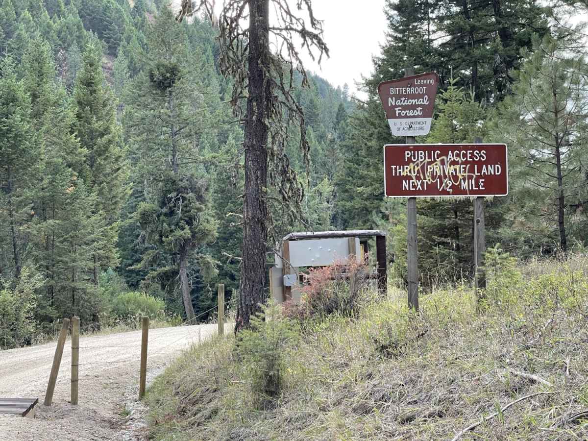
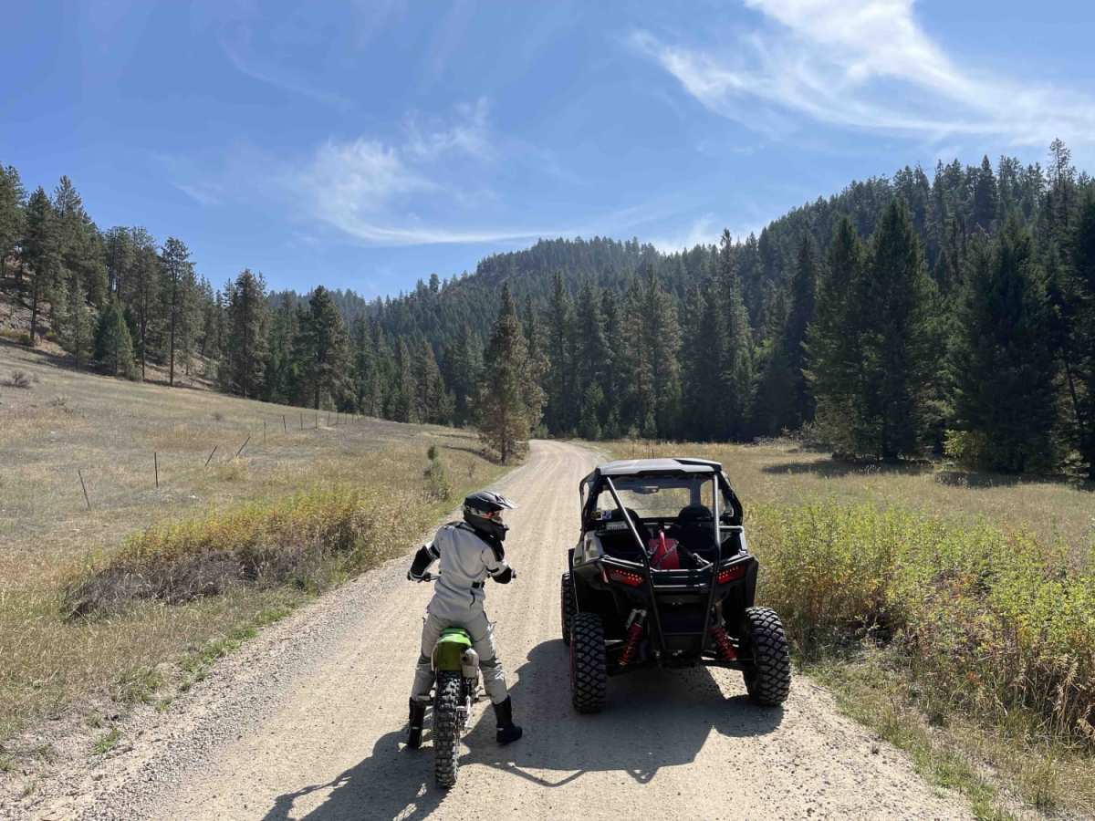
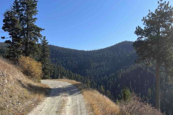
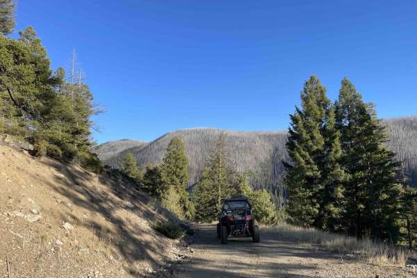
Lower Willow St Clair offers an easy, scenic drive through the foothills of the Bitterroot National Forest, making it perfect for beginners, scenic drivers, and high-clearance four-wheel-drive vehicles or SxSs looking for a relaxing mountain getaway. Spanning approximately 4.2 miles, this point-to-point route begins near Corvallis, Montana, and gradually climbs from an elevation of 4,081 feet to 5,097 feet. Along its course, the trail gains around 1,012 feet in elevation as it follows a gentle gradient alongside a scenic, bubbling mountain creek. The route transitions from a residential setting near its start, winding through private property before crossing the boundary into the national forest.
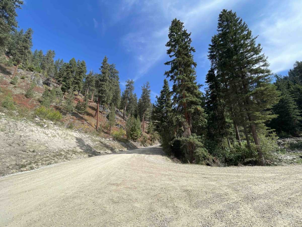
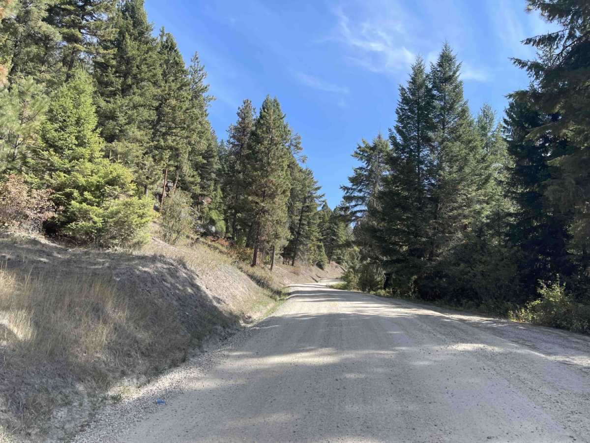
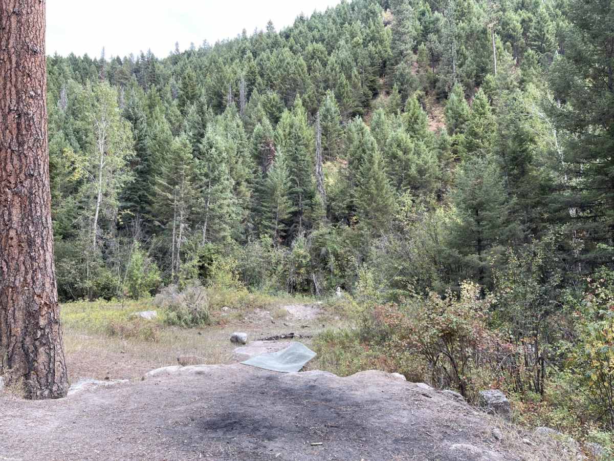
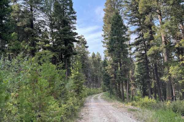
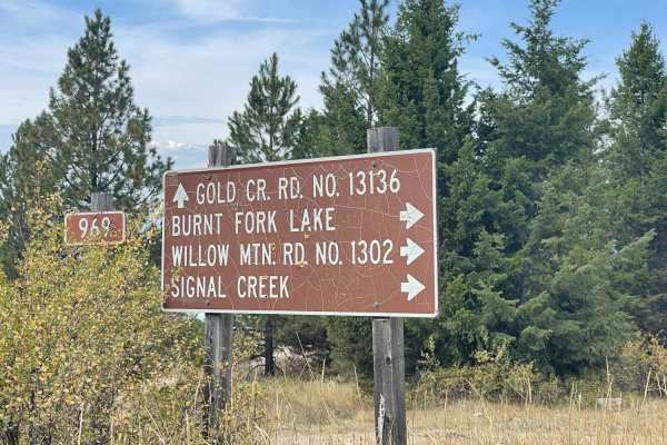
This graded, unpaved road features a mostly wide-enough profile for two vehicles to pass, though it occasionally narrows to a single-lane width with available pullouts. Dispersed camping is sparse, with only a single prominent campsite available along the route. The trail ends at a key three-way intersection, where drivers can choose to continue onto the upper section of Willow St Clair or turn left toward the Willow Mountain Trail. Due to heavy snowfall in the Bitterroot Mountains, the road is typically impassable during the winter months, so seasonal planning is recommended.