Trail Overview
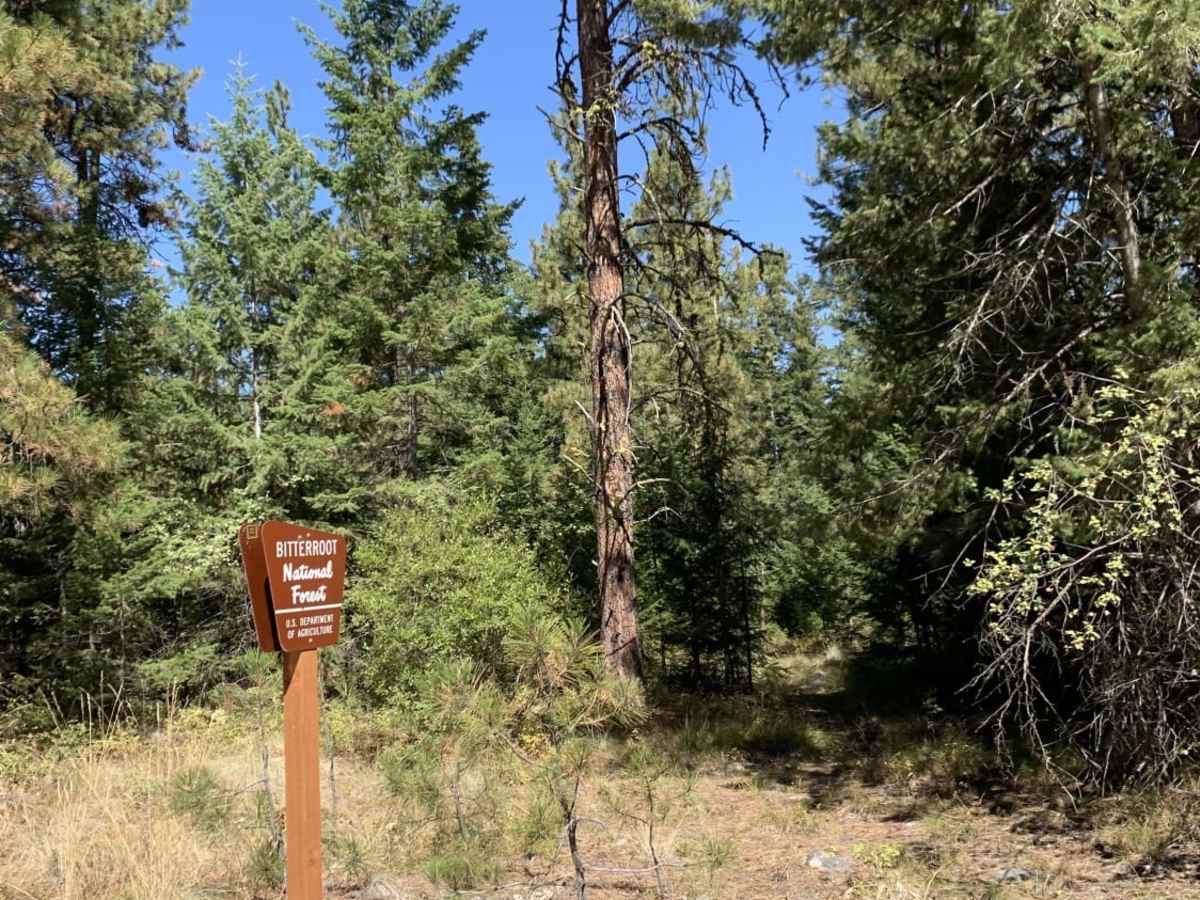
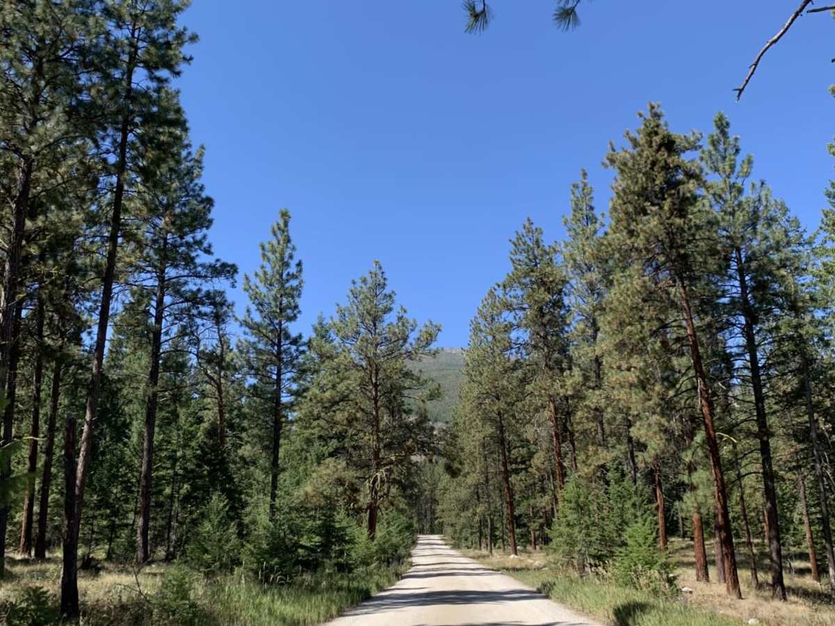
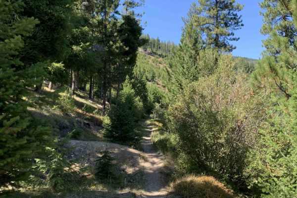
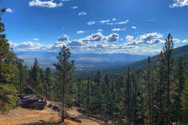
Mill Creek Trailhead is a short, beginner-friendly route in the Bitterroot National Forest that offers quick, scenic access to one of the area’s popular hiking destinations. Spanning just under 0.8 miles, this easy gravel and dirt road is suitable for all vehicle types, including standard passenger cars, four-wheel-drive rigs, and SxSs. Starting from Bowman Road, the route winds through a quiet residential area where visitors must respect private property boundaries and remain on the main road. As the route climbs gently from an elevation of 3,882 feet to 4,052 feet, it enters the lush canopy of the Bitterroot National Forest, providing steady mountain views and a peaceful woodland setting.
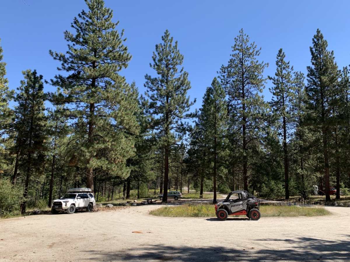
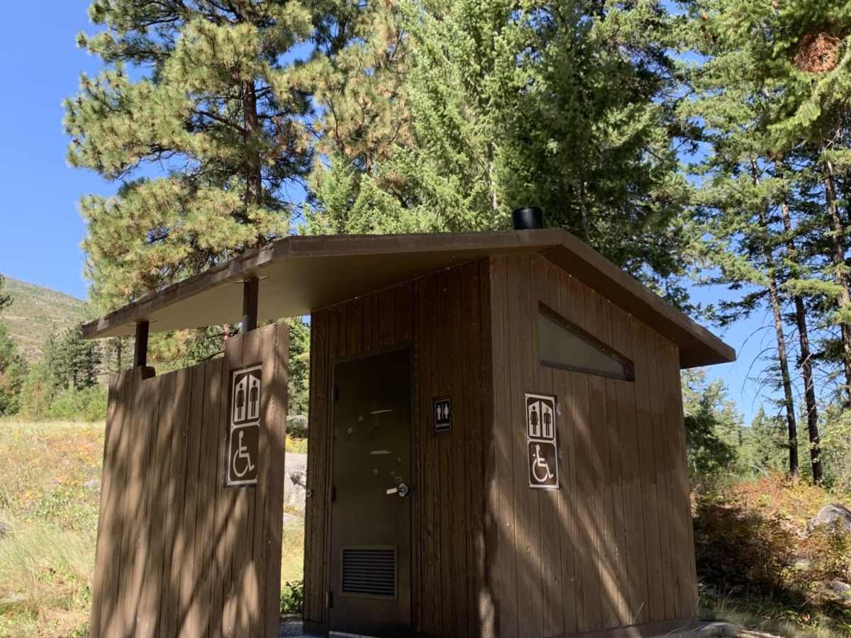
The trail terminates at a spacious trailhead parking area equipped with vault toilets, a picnic table, and an official fire pit. While the trailhead serves as the gateway to the scenic Mill Creek hiking trail, motorized vehicles must park here, as the wilderness trails beyond are restricted to non-motorized foot and stock travel. Additionally, day-use-only restrictions apply at the trailhead, meaning overnight camping is prohibited. Visitors will find reliable LTE cell service throughout the short drive, making navigation straightforward along this highly accessible mountain spur.
Access Description
The first portion of the road passes through a residential neighborhood on private land. Motorists must stay on the designated roadway and respect adjacent private property. The trail is free to access, and no permits are required. The parking lot at the end of the road is designated for day-use only, and overnight camping is not permitted.