
Dirt Bike Trails
Near Coleman, Florida
Explore All Dirt Bike Trails Near Coleman, Florida
Dirt Bike Trails Near Coleman, Florida
Discover the best dirt bike trails near you. Browse trail maps, check difficulty ratings, and find your next adventure — whether you're looking for a quick ride or an all-day expedition.
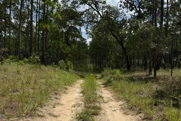
Trail 12 - Citrus WMA
Trail 12 takes you from County Road 581 at the east end to Trail 15 at the west end of the trail in the central part of the Citrus Wildlife Management Area. The road conditions are a mixture of packed sand, loose sand, and some deep holes that can turn into 2-foot deep mud holes after rainy days. Th...
Learn more about Trail 12 - Citrus WMA
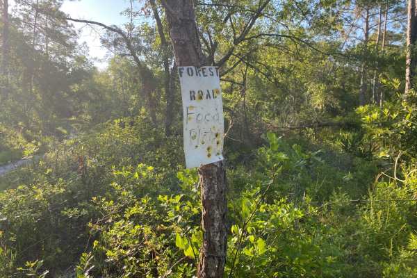
Porter Gap Road
This trail is located within the Florida Fish and Wildlife Commission's (FWC) Richloam Wildlife Management Area (WMA), which is one of seven tracts that compose Withlacoochee State Forest. The Richloam tract consists of 58,000-plus acres crossing over four counties in northcentral Florida. Public ac...
Learn more about Porter Gap Road
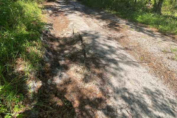
Blue Sink Road
This trail is located within the Florida Fish and Wildlife Commission's (FWC) Richloam Wildlife Management Area (WMA), which is one of seven tracts that compose Withlacoochee State Forest. The Richloam tract consists of 58,000-plus acres crossing over four counties in northcentral Florida. Public ac...
Learn more about Blue Sink Road
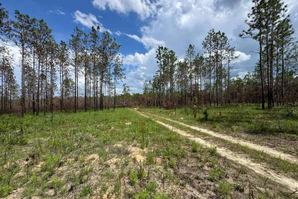
Trail 10A - Citrus WMA
Trail 10a takes you from Trail 9 at the east end to Trail 19 at the west end of the trail in the central part of the Citrus Wildlife Management Area. The road conditions are a mixture of packed sand, loose sand, and some deep holes that can turn into 2-foot deep mud holes after rainy days. The road ...
Learn more about Trail 10A - Citrus WMA
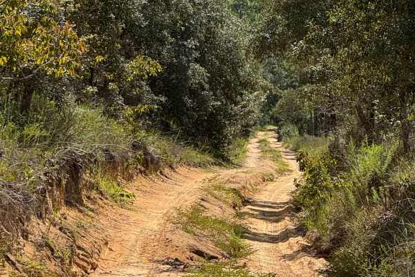
Trail 6 - Citrus WMA
Trail 6 takes you from East Haven Street at the east end to Trail 19 at the west end of the trail in the north part of the Citrus Wildlife Management Area. The road conditions are a mixture of packed sand, loose sand, and some deep holes that can turn into 2-foot deep mud holes after rainy days. The...
Learn more about Trail 6 - Citrus WMA
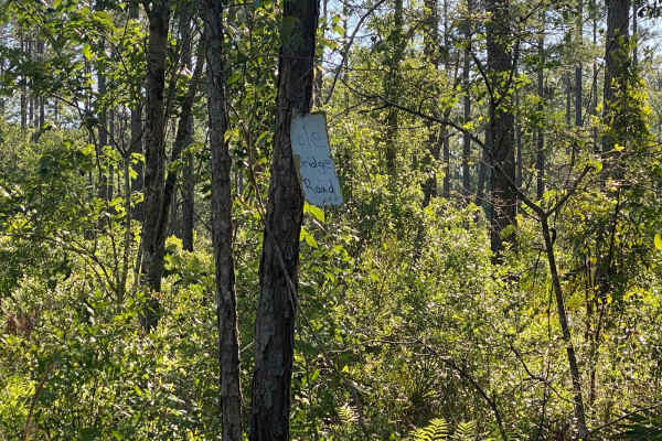
Pole Bridge Road
This trail is located within the Florida Fish and Wildlife Commission's (FWC) Richloam Wildlife Management Area (WMA), which is one of seven tracts that compose Withlacoochee State Forest. The Richloam tract consists of 58,000-plus acres crossing over four counties in north-central Florida. Public a...
Learn more about Pole Bridge Road
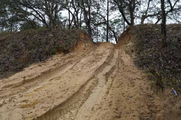
Trail 14 East
Trail 14 East is an engaging 1.9-mile off-road route through the Citrus Wildlife Management Area, offering a mix of soft sand play areas and light technical challenges perfect for stock four-wheel-drive vehicles and SxSs. Running straight west to east, this trail provides an enjoyable trek with mini...
Learn more about Trail 14 East
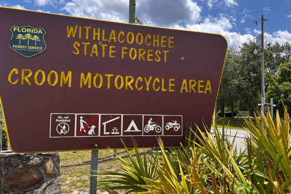
Croom Motorcycle Area
Croom Motorcycle Area (CMA), often called Croom ORV Park, is a 2,600-acre off-highway riding area in Withlacoochee State Forest near Brooksville, Florida. Managed by the Florida Forest Service, Croom offers miles of marked and unmarked trails for dirt bikes and ATVs, with natural terrain ranging fro...
Learn more about Croom Motorcycle Area
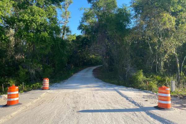
McKinney Sink Road
This trail is located within the Florida Fish and Wildlife Commission's (FWC) Richloam Wildlife Management Area (WMA), which is one of seven tracts that compose Withlacoochee State Forest. The Richloam tract consists of 58,000-plus acres crossing over four counties in northcentral Florida. Public ac...
Learn more about McKinney Sink Road
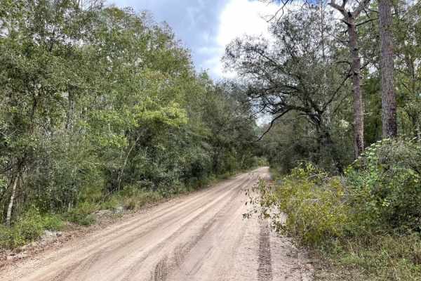
Richloam WMA North Grade Road
This is an easy route through the woods on hard-packed dirt, sand, and rocks. You can enter the trail from the west (Route 471) at 28.48129, -82.05373 or from the east (route 565) at 28.45565, -81.92040. This road connects the Richloam WMA's south and north sets of trails.
Learn more about Richloam WMA North Grade Road
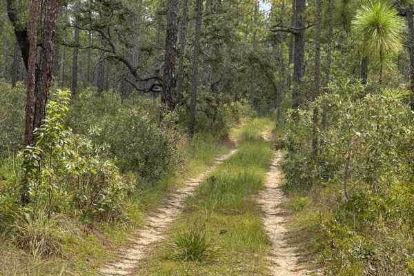
Trail 18a - Citrus WMA
Trail 18a takes you from Trail 16 at the east end to Trail 15 at the west end of the trail in the southern part of the Citrus Wildlife Management Area. The road conditions are a mixture of packed sand, loose sand, and some deep holes that can turn into 2-foot deep mud holes after rainy days. The roa...
Learn more about Trail 18a - Citrus WMA
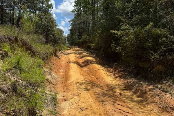
Trail 10 - Citrus WMA
Trail 10 takes you from Trail 9 at the east end to Trail 17 at the west end of the trail in the central part of the Citrus WMA. The road conditions are a mixture of packed sand, loose sand, and some deep holes that can turn into 2-foot deep mud holes after rainy days. The road is not always wide eno...
Learn more about Trail 10 - Citrus WMA
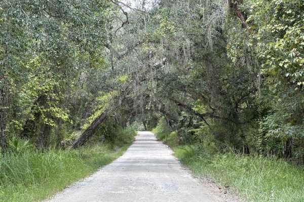
Ocala National Forest SE 13th Avenue
The Ocala National Forest SE 13th Avenue connects Ocklawaha Trail at the north end and State Route 314A at the south end of the trail at the west boundary of the Ocala National Forest. The trail gives you access to some dirt roads around the Tomahawk Lake and the Ocklawaha Prairie. The road conditio...
Learn more about Ocala National Forest SE 13th Avenue
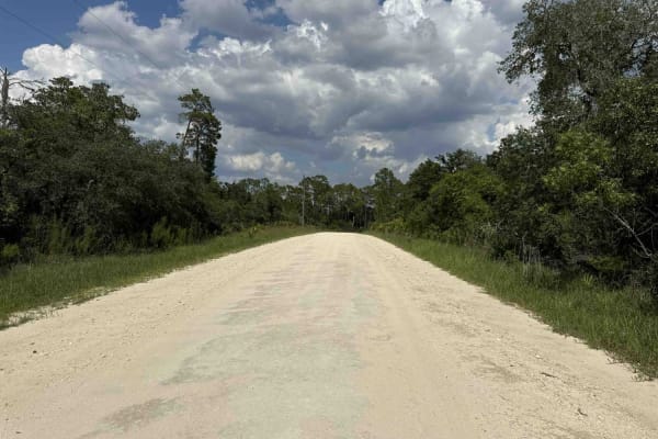
Doe Lake Trail - ONF 14
The Doe Lake Trail, also known as Ocala National Forest Road 14, connects SE 182nd Avenue at the west end and the South Cross Powerline Run at the east end in the south part of the ONF. The trail gives you access to the Doe Lake Boat Ramp and the Doe Lake Group Campground. The road conditions are a ...
Learn more about Doe Lake Trail - ONF 14
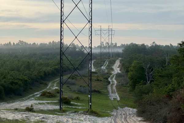
Powerline Plains
A short but memorable off-road trail running beneath power lines in the Ocala National Forest. The trail starts with its biggest challenge, a sandy uphill climb through sugar sand that needs some momentum. After any rain, this section gets harder, so come prepared with 4WD. Once you push through tha...
Learn more about Powerline Plains
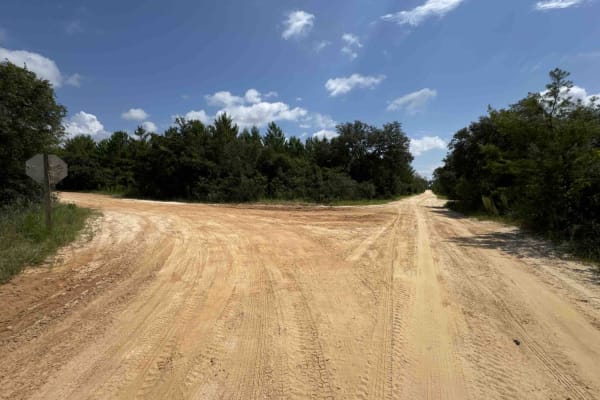
South Boundary Trail - ONF 2
The South Boundary Trail, also known as Ocala National Forest Road 2, connects SE 150th St and Centennial Trail at the east end and Halfmoon South Trail at the west end in the south part of the ONF. The trail is the south boundary of Ocala National Forest. The road conditions are a mixture of packed...
Learn more about South Boundary Trail - ONF 2
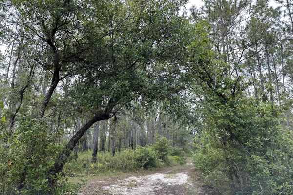
Richloam Wildlife Management Area SE Quarter Infinity Loop
This route is an infinity loop created out of the most fun and consistently passable central Richloam WMA trails. The route includes small hills, ruts, mud pits, loose sand, narrow passes, obstacles, camping spots, and clear areas to pause and relax. This "infinity loop" is named due to the repeatin...
Learn more about Richloam Wildlife Management Area SE Quarter Infinity Loop
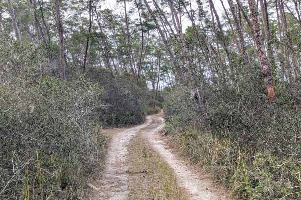
Island Lake Trail
This narrow two-track trail cuts through the heart of Ocala National Forest, allowing you to traverse deep into the wilderness. Once you're off the main road, you will be met with tight, mildly technical sections of sandy trails that put you under the canopy of towering pines and small palms. There'...
Learn more about Island Lake Trail
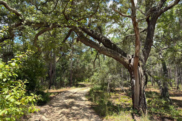
Shoesale Lake Loop
Shoesale Lake Loop takes you around Shoesale Lake in the southwest of the Ocala National Forest. The trail gives you access to Shoesale Lake, Round Lake, a few ponds, and a few dirt roads in the area. The road conditions are a mixture of packed and loose sand, with some deep holes that can fill with...
Learn more about Shoesale Lake Loop
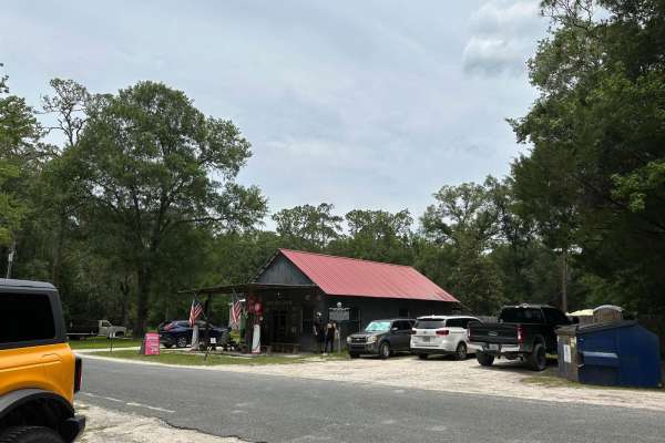
Withlacoochee State Forest and 471 Loop
This loop connects North Grade Road and Gator Hole Crossing by crossing over the 471 and circling the interior of the Withlacoochee State Forest. It is fairly easy to navigate and passes an old General Store frequented by trail riders and locals. You will find a lot of off-road vehicles surrounding ...
Learn more about Withlacoochee State Forest and 471 Loop
ATV trails near Coleman, Florida
Explore ATV-friendly trails near you. These trails are accessible for vehicles up to 50 inches wide, perfect for ATVs and smaller off-road machines.
Trail 6 - Citrus WMA
Trail 6 takes you from East Haven Street at the east end to Trail 19 at the west end of the trail in the north part of the Citrus Wildlife Management Area. The road conditions are a mixture of packed sand, loose sand, and some deep holes that can turn into 2-foot deep mud holes after rainy days. The...
Learn more about Trail 6 - Citrus WMA
Trail 14 East
Trail 14 East is an engaging 1.9-mile off-road route through the Citrus Wildlife Management Area, offering a mix of soft sand play areas and light technical challenges perfect for stock four-wheel-drive vehicles and SxSs. Running straight west to east, this trail provides an enjoyable trek with mini...
Learn more about Trail 14 East
Croom Motorcycle Area
Croom Motorcycle Area (CMA), often called Croom ORV Park, is a 2,600-acre off-highway riding area in Withlacoochee State Forest near Brooksville, Florida. Managed by the Florida Forest Service, Croom offers miles of marked and unmarked trails for dirt bikes and ATVs, with natural terrain ranging fro...
Learn more about Croom Motorcycle Area
Ocala National Forest SE 13th Avenue
The Ocala National Forest SE 13th Avenue connects Ocklawaha Trail at the north end and State Route 314A at the south end of the trail at the west boundary of the Ocala National Forest. The trail gives you access to some dirt roads around the Tomahawk Lake and the Ocklawaha Prairie. The road conditio...
Learn more about Ocala National Forest SE 13th Avenue
UTV/side-by-side trails near Coleman, Florida
Find UTV and side-by-side trails near you. These trails accommodate vehicles up to 60 inches wide, ideal for UTVs, side-by-sides, and wider off-road rigs.
Trail 12 - Citrus WMA
Trail 12 takes you from County Road 581 at the east end to Trail 15 at the west end of the trail in the central part of the Citrus Wildlife Management Area. The road conditions are a mixture of packed sand, loose sand, and some deep holes that can turn into 2-foot deep mud holes after rainy days. Th...
Learn more about Trail 12 - Citrus WMA
Trail 10A - Citrus WMA
Trail 10a takes you from Trail 9 at the east end to Trail 19 at the west end of the trail in the central part of the Citrus Wildlife Management Area. The road conditions are a mixture of packed sand, loose sand, and some deep holes that can turn into 2-foot deep mud holes after rainy days. The road ...
Learn more about Trail 10A - Citrus WMA
Trail 18a - Citrus WMA
Trail 18a takes you from Trail 16 at the east end to Trail 15 at the west end of the trail in the southern part of the Citrus Wildlife Management Area. The road conditions are a mixture of packed sand, loose sand, and some deep holes that can turn into 2-foot deep mud holes after rainy days. The roa...
Learn more about Trail 18a - Citrus WMA
Trail 10 - Citrus WMA
Trail 10 takes you from Trail 9 at the east end to Trail 17 at the west end of the trail in the central part of the Citrus WMA. The road conditions are a mixture of packed sand, loose sand, and some deep holes that can turn into 2-foot deep mud holes after rainy days. The road is not always wide eno...
Learn more about Trail 10 - Citrus WMA
The onX Offroad Difference
onX Offroad combines trail photos, descriptions, difficulty ratings, width restrictions, seasonality, and more in a user-friendly interface. Available on all devices, with offline access and full compatibility with CarPlay and Android Auto. Discover what you're missing today!
Open Trail Map