Trail Overview
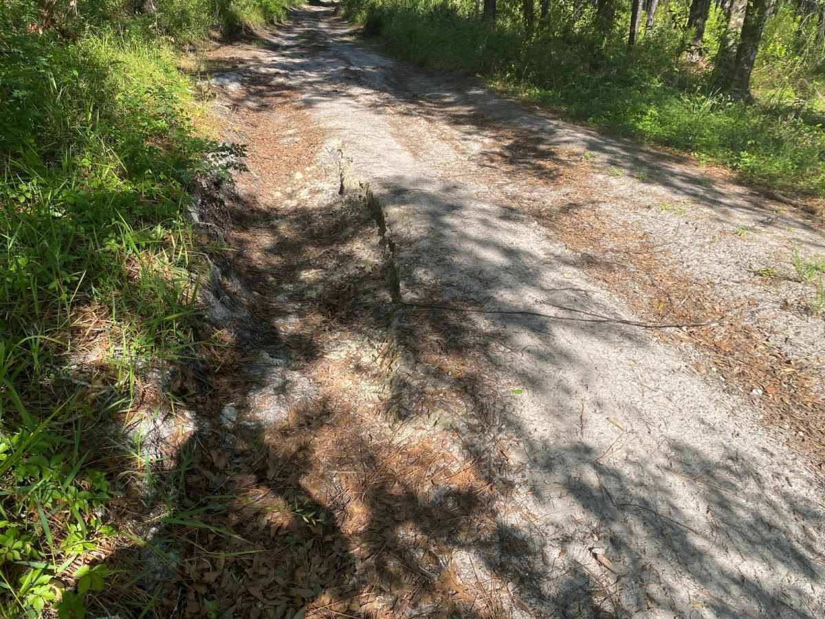
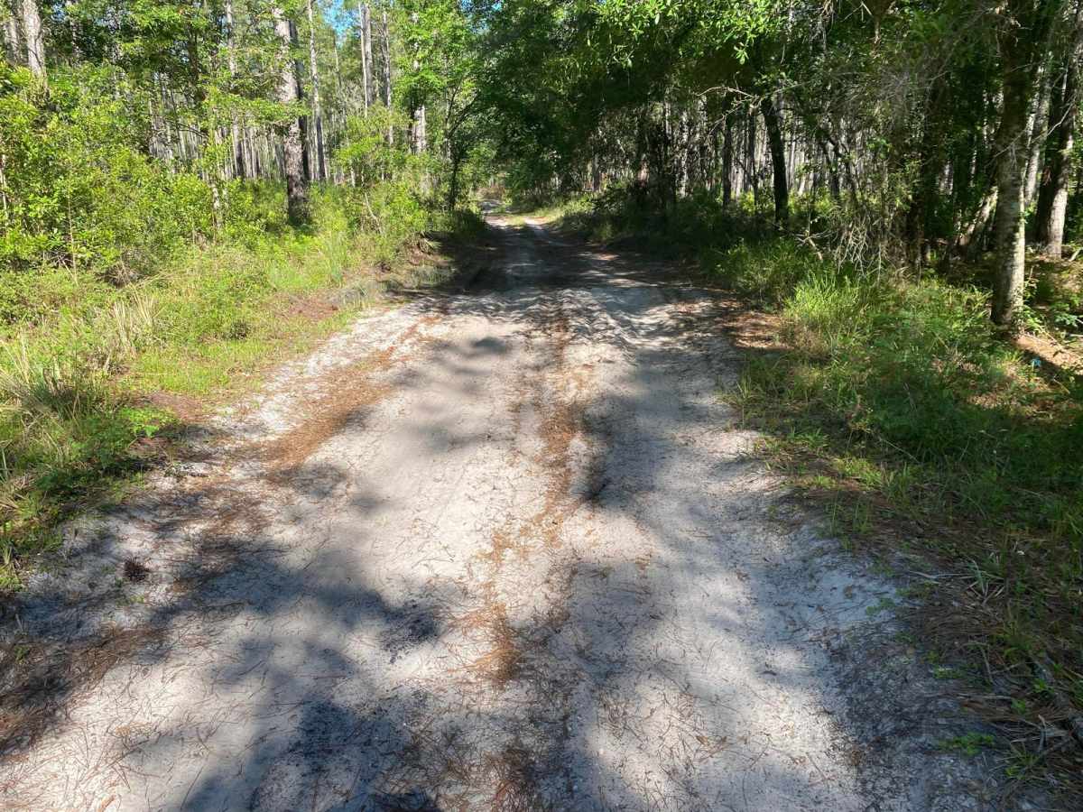
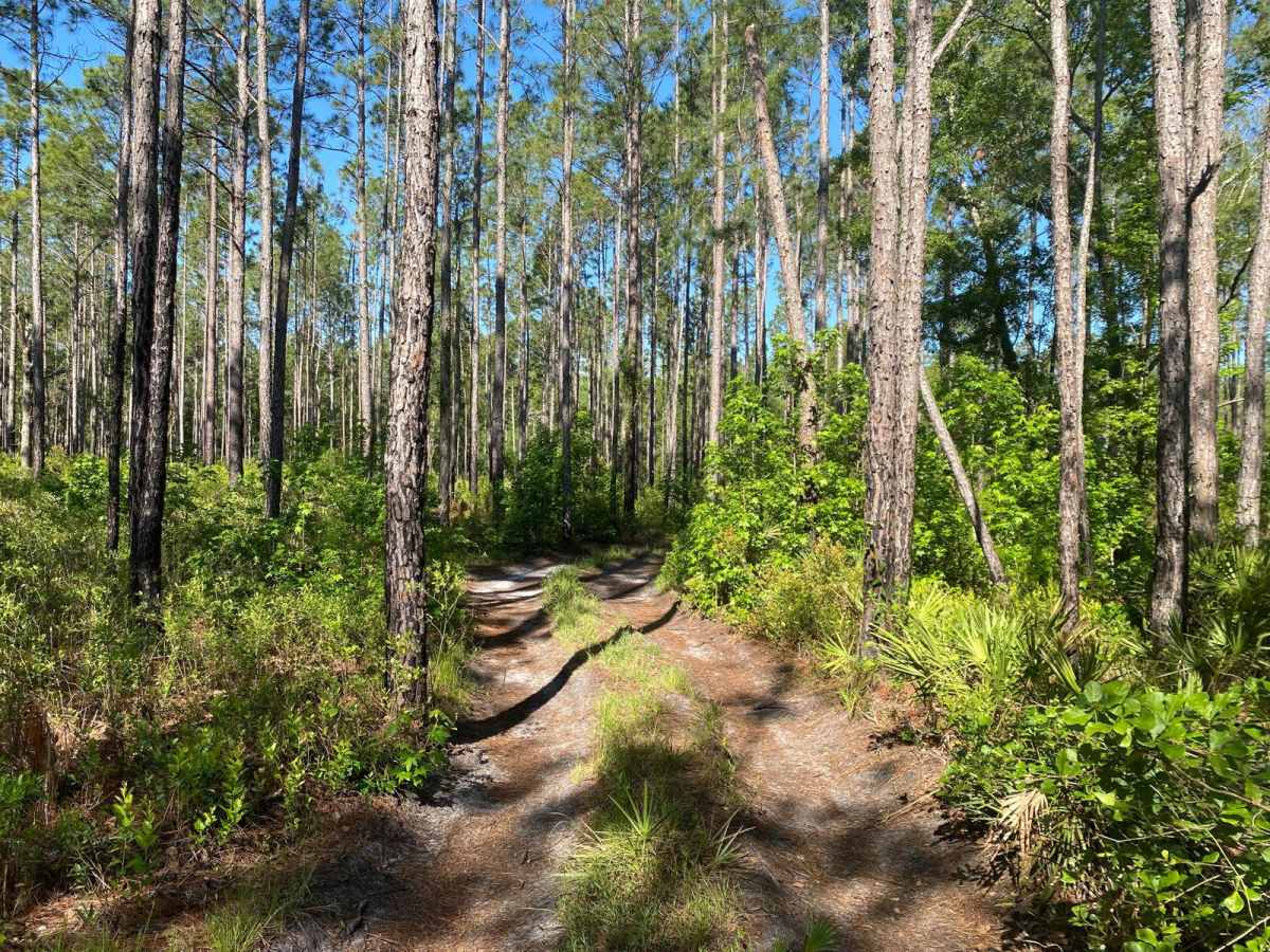
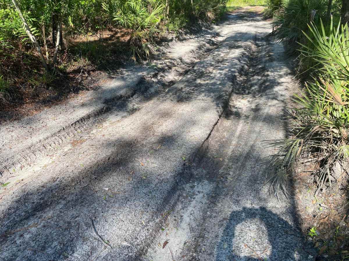
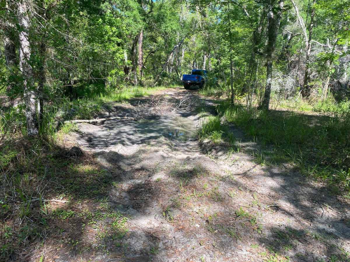
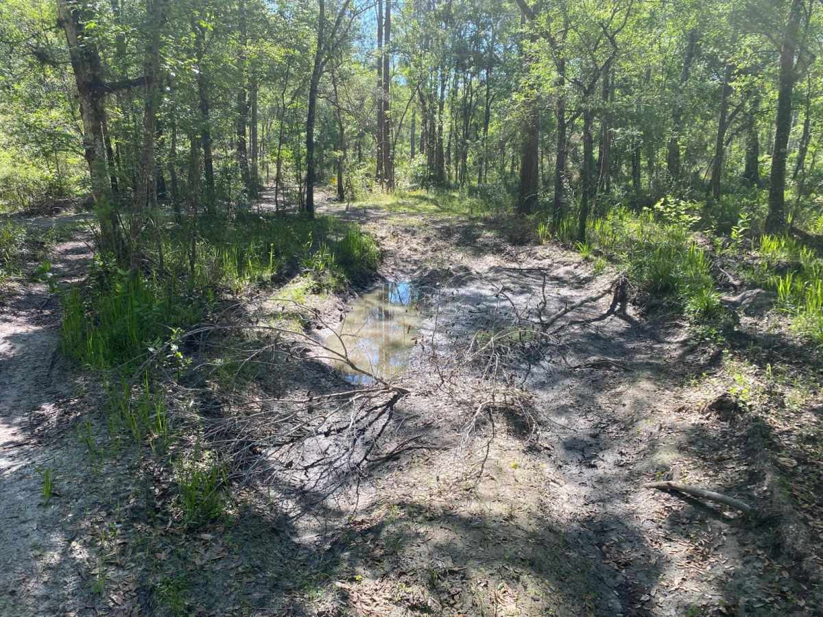
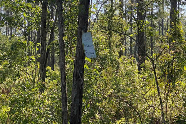
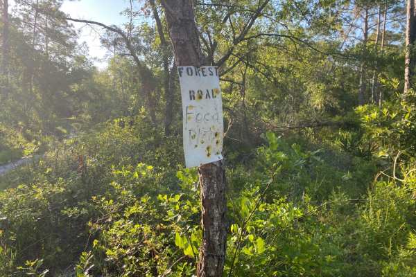
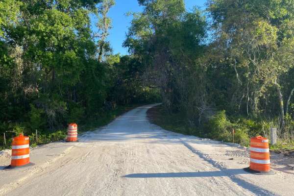
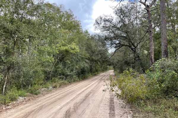
This trail is located within the Florida Fish and Wildlife Commission's (FWC) Richloam Wildlife Management Area (WMA), which is one of seven tracts that compose Withlacoochee State Forest. The Richloam tract consists of 58,000-plus acres crossing over four counties in northcentral Florida. Public access is open year-round to all forms of off-roading. Class 1 electric bicycles may be operated according to rules for traditional, non-motorized bicycles. All other electric bicycles may be operated only on named or numbered roads open to motorized vehicles. The trails traverse across a variety of wildlife habitats ranging from cypress swamps, strand bottomland hardwoods, pine land flats, and oak hammocks. The FWC WMA brochure defines this trail as an unimproved road/trail. The trail is a dirt/mud or soft sand trail that varies as it crosses through a variety of habitats. The trail is one vehicle wide, having lots of tight corners and rolling inclines. These tight corners and inclines will exercise an individual's wheeling skills. Pull-off areas for passing are limited, if non-existent. The trail is deeply rutted and has numerous very sticky, muddy segments. There are also numerous deep, muddy holes, steep inclines, and off-camber segments. By-passes are available in some of these segments, however, the bypasses often require exact wheel placement, otherwise danger of dropping off steep ledges into the adjacent deep holes is possible. Some ruts along the trail may exceed axle clearances. There are numerous areas where mud and ruts are deeper than 24 inches. In the wet season, deep water, greater than 24 inches, and deep mud are to be expected. Trail obstacles such as rocks, large tree roots, or fallen trees greater than 12 inches in diameter are possible. Plenty of potential for undercarriage snags or dents exists, and pin stripping along the trail is highly likely. No maintenance of the trail should be expected following rain or storm events. This trail is marked with a small tin sign with hand lettering on one end and not marked on the other end of the trail. Many hiking, horse trails, and ATV trails cross this narrow trail. The nature of the trail will keep speeds down; however, watch for horseback riders, dirt bikes, ATVs, and SxS, which can abruptly appear around corners and at intersecting trails. Wildlife observation opportunities abound. There is a possibility of observing a variety of wildlife. This is an active WMA and preservation area; several open hunting seasons start late summer and extend through Spring.
Difficulty
The FWC WMA brochure defines this trail as an unimproved road/trail. The trail is a dirt/mud or soft sand trail that varies as it crosses through a variety of habitats. The trail is one vehicle wide, having lots of tight corners and rolling inclines. These tight corners and inclines will exercise an individual's wheeling skills. Pull-off areas for passing are limited, if non-existent. The trail is deeply rutted and has numerous very sticky, muddy segments. There are also numerous deep, muddy holes, steep inclines, and off-camber segments. By-passes are available in some of these segments, however, the bypasses often require exact wheel placement, otherwise danger of dropping off steep ledges into the adjacent deep holes is possible. Some ruts along the trail may exceed axle clearances. There are numerous areas where mud and ruts are deeper than 24 inches. In the wet season, deep water, greater than 24", and deep mud are to be expected. Trail obstacles such as rocks, large tree roots, or fallen trees greater than 12 inches in diameter are possible. Plenty of potential for undercarriage snags or dents exists, and pin stripping along the trail is highly likely. No maintenance of the trail should be expected following rain or storm events.