
Dirt Bike Trails
Near Cody, Wyoming
Explore All Dirt Bike Trails Near Cody, Wyoming
Dirt Bike Trails Near Cody, Wyoming
Discover the best dirt bike trails near you. Browse trail maps, check difficulty ratings, and find your next adventure — whether you're looking for a quick ride or an all-day expedition.
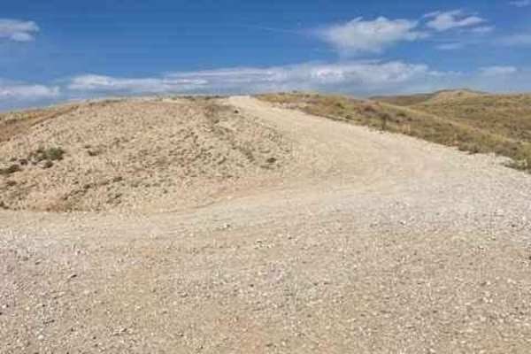
McCullough Peaks Road
McCullough Peaks Road is a very scenic road that goes up and down the McCullough Peaks and overlooks the McCullough Peaks Wilderness area. This is a very well-maintained gravel road that will be easily traversed with a low-clearance car. This also cuts through the McCullough Peaks Wild Horse Herd M...
Learn more about McCullough Peaks Road
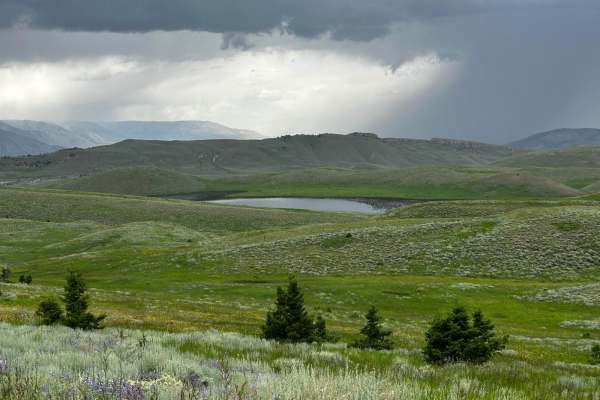
Monument Hill Access - FS 401
The trail begins at the end of Park County, Wyoming County Road 7UH. The first section is just gravel, level, county road, but turns more rugged further in. It is about 13.8 miles long with some ruts, rocks, and short but steep inclines. In wet weather, this could become very difficult. Although the...
Learn more about Monument Hill Access - FS 401
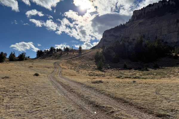
Sheep Mountain Access
This is a steep, rocky, and off-camber trail up and across the shoulder of Sheep Mountain with several side spurs to explore. This trail has some incredible views of the Buffalo Bill Reservoir and the South Fork Valley. Expect loose rocks, steep inclines, and some off-camber and shelf road sections,...
Learn more about Sheep Mountain Access
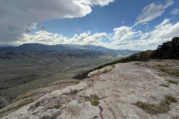
Monument Hill Access spur - FS 401.2A
This is an easy spur road off the main FS 401 Monument Hill Access, which comes to a dead end with spectacular views and rock outcroppings along the way to explore. The wildlife viewing potential and high country wildflowers (depending on timing) is incredible. If you're headed up Monument Hill, you...
Learn more about Monument Hill Access spur - FS 401.2A
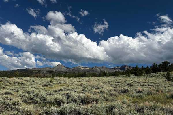
Marquette Access Road
Spur road off the end of Carter Mountain Access Road, leading to Hidden Lake. Much more difficult and rugged than the main Carter Mountain Road. This road has incredible views overlooking the Southfork Valley, dense forests (rare in Wyoming), small streams, lakes, and wildlife viewing opportunities....
Learn more about Marquette Access Road
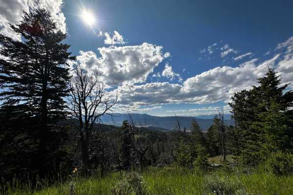
Carter Mountain Access
Carter Mountain Access Road travels approximately 11 miles up the north shoulder of Carter Mountain, leading to wonderful views, lakes, streams, and open meadows. Wildlife and wildflowers are in abundance. Evidence of old logging activity can be found in the numerous cross-cut sawed stumps. Some his...
Learn more about Carter Mountain Access

Belknap Access Road
Belknap Access is an out-and-back spur off of the main Carter Mountain Access road, providing access to a vast area alongside Carter Mountain. Pretty easy road, passable with most stock 4-wheel drive vehicles. This route provides some breathtaking views of the Carter Mountain wall towering overhead ...
Learn more about Belknap Access Road
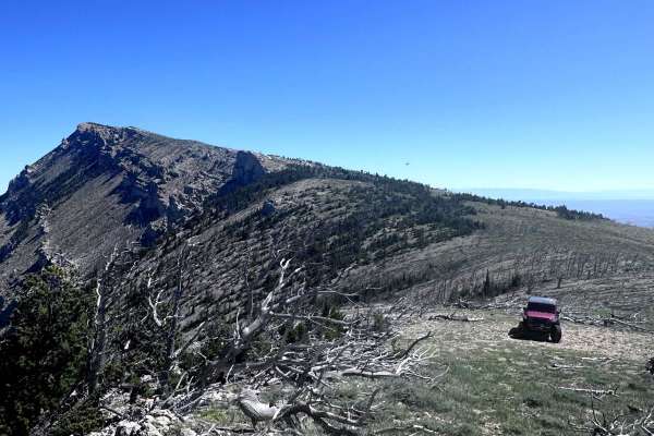
Bald Ridge - FSR 100
Bald Ridge is a 13.5-mile out-and-back trail in the Shoshone National Forest. This trail gives you great views of Heart Mountain and McCullough Peaks to the east and Sunlight Basin to the west. As you drive across the mountain pastures, you will see a plethora of grazing Pronghorn, and there is alwa...
Learn more about Bald Ridge - FSR 100
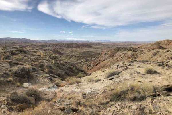
Gilmore Hill
This route passes through the McCullough Peaks Wild Horse range following BLM roads. The Southern section is Gravel road. The Northern section is a maintained dirt road. Regulations require staying 300 feet away from horses and there are signs to remind you. There are beautiful badlands on the N...
Learn more about Gilmore Hill
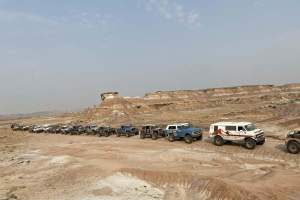
Fenton Pass
Fenton Pass offers an expansive, scenic point-to-point journey through the rugged badlands of the Bighorn Basin, making it an excellent option for overland enthusiasts, SxS riders, and four-wheel-drive vehicles seeking a remote backcountry experience. Starting near Worland, this graded dirt and grav...
Learn more about Fenton Pass
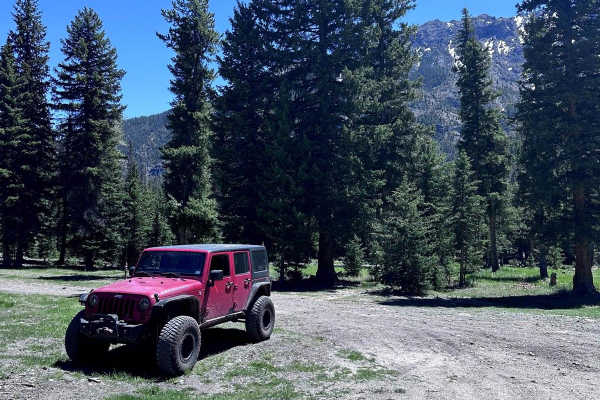
Sunlight Road
Sunlight Road is a 33.6-mile out-and-back trail that starts and ends off State Route 296 and gives access to plenty of dispersed camping along the Sunlight Creek. The first part of this road passes along private lands and is well-maintained. Once you pass the Ranger station, the road begins to degra...
Learn more about Sunlight Road
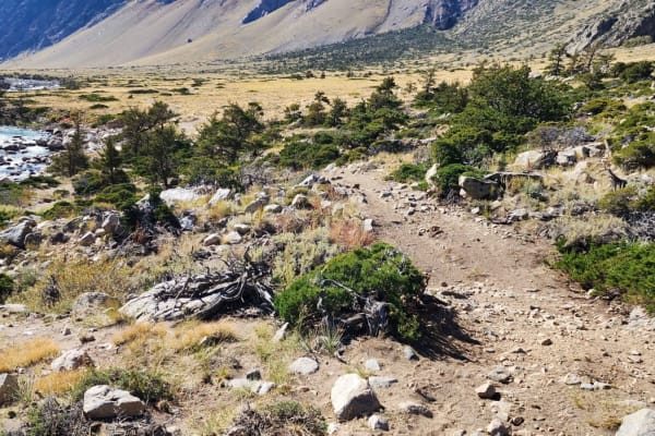
Clarks Fork Canyon
Clarks Fork Canyon is located in the Shoshone National Forest West of Clark, Wyoming. This is an out-and-back trail running East-West with a round trip distance of approximately 8 miles. Due to the flooding, the switchbacks are too treacherous to navigate with a vehicle, but it is still available t...
Learn more about Clarks Fork Canyon
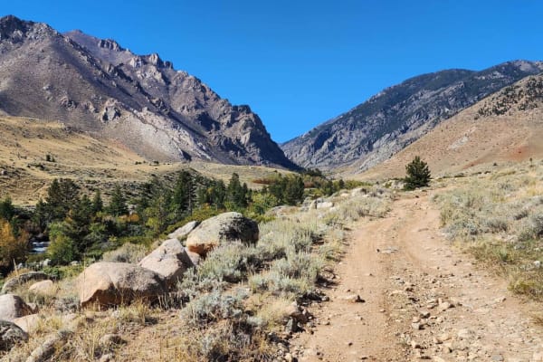
Little Rock Creek
Little Rock Creek runs out of the Beartooth Mountains and is located in Shoshone National Forest West of the town of Clark, Wyoming. There are two very long and difficult trailheads;the one on the right fork goes to the top of the Beartooths, and the one on the left goes to Deep Lake. These trails a...
Learn more about Little Rock Creek
Meeteetse Trail
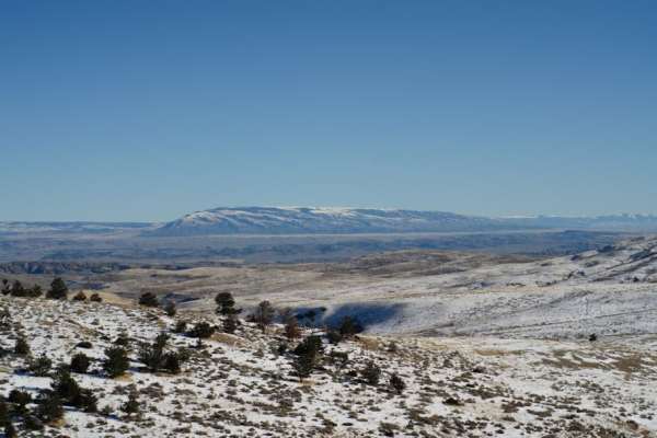
Meeteetse Trail, east access, is located on the Montana and Wyoming border just south of Belfry, MT. The west trail can be accessed just south of Red Lodge, Montana. When accessing the Meeteetse Trail from north of the Montana/Wyoming border, turn off Highway 72 onto Chance Road, which is paved. Aft...
Learn more about Meeteetse Trail
Fantan Lake Road
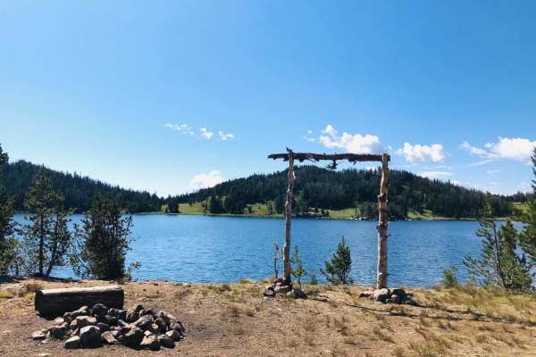
This is a rutted, one-lane dirt trail leading to Fantan Lake. It had 6-8" obstacles and after rains, was full of mud holes along with a couple of small stream crossings Several dispersed camping areas were around the lake. Please be aware that this is Grizzly Bear country and plan accordingly.
Learn more about Fantan Lake Road
East Basin Road CW 2078
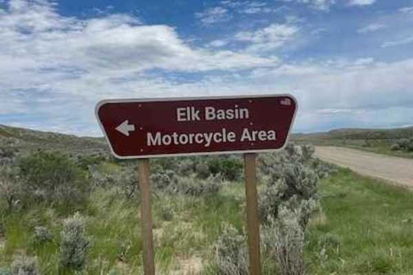
This road cuts right through the Elk Basin Motorcycle Area, so be aware of little kids on motorcycles and four-wheelers. The first three miles of this road are easy, but the last two are what give it the 3 rating. This is where it gets steep and slightly technical. 4WD is necessary to safely naviga...
Learn more about East Basin Road CW 2078
Fantan Loop to Sawtooth Lake
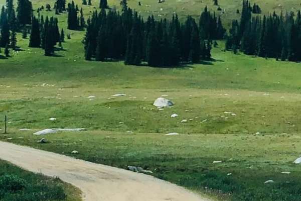
Easy access to this trail is from the Beartooth Highway. The road begins as a maintained 2-lane forest service road but turns into a rocky, rutted 1-lane trail leading to Sawtooth Lake. Expect boulders up to 12" and shallow stream crossings as you wind your way through the Shoshone National Forest....
Learn more about Fantan Loop to Sawtooth Lake
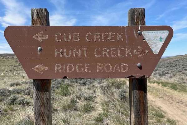
Ridge Road #1005
Ridge Road is the backbone of the Elk Basin area. It starts in Montana and goes into Wyoming. This is mostly an easy route with access to several other trails in the area. There is a great campsite just on the Wyoming side with magnificent views of the Beartooth Mountains. This road is a mess when r...
Learn more about Ridge Road #1005
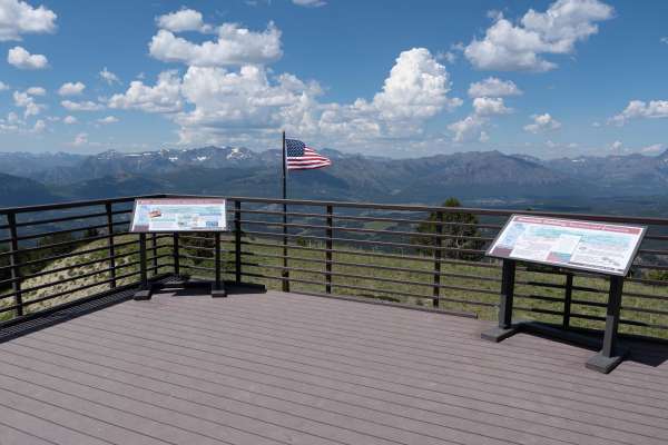
Clay Butte Lookout Tower
This trail is a well-maintained dirt spur off the Beartooth Highway (US-212), climbing 800 feet to the Clay Butte Lookout Tower with occasional pullouts to pass two-way traffic. The trail starts in a pine forest with wildflower meadows in the summer before rising above the treeline for 360 views of ...
Learn more about Clay Butte Lookout Tower
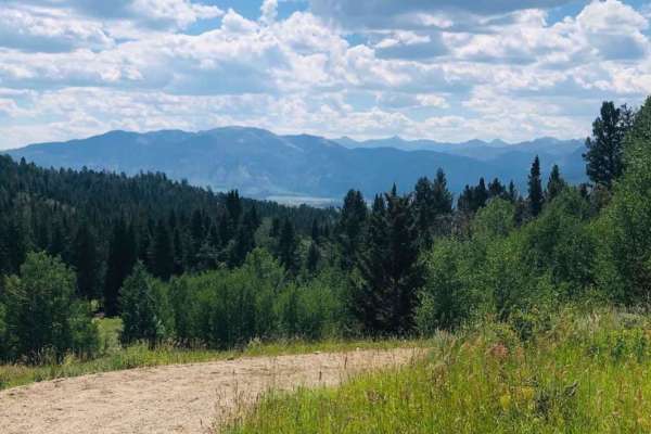
Ghost Creek
This little-traveled trail begins as a 2 lane dirt road running through the forest and then turns into a dirt track following a ridge with the surrounding mountains as a backdrop. It follows a private property fence line, crosses over a small creek crossing, and leads to a secluded meadow bordering ...
Learn more about Ghost Creek
ATV trails near Cody, Wyoming
Explore ATV-friendly trails near you. These trails are accessible for vehicles up to 50 inches wide, perfect for ATVs and smaller off-road machines.
McCullough Peaks Road
McCullough Peaks Road is a very scenic road that goes up and down the McCullough Peaks and overlooks the McCullough Peaks Wilderness area. This is a very well-maintained gravel road that will be easily traversed with a low-clearance car. This also cuts through the McCullough Peaks Wild Horse Herd M...
Learn more about McCullough Peaks Road
Monument Hill Access - FS 401
The trail begins at the end of Park County, Wyoming County Road 7UH. The first section is just gravel, level, county road, but turns more rugged further in. It is about 13.8 miles long with some ruts, rocks, and short but steep inclines. In wet weather, this could become very difficult. Although the...
Learn more about Monument Hill Access - FS 401
Sheep Mountain Access
This is a steep, rocky, and off-camber trail up and across the shoulder of Sheep Mountain with several side spurs to explore. This trail has some incredible views of the Buffalo Bill Reservoir and the South Fork Valley. Expect loose rocks, steep inclines, and some off-camber and shelf road sections,...
Learn more about Sheep Mountain Access
Monument Hill Access spur - FS 401.2A
This is an easy spur road off the main FS 401 Monument Hill Access, which comes to a dead end with spectacular views and rock outcroppings along the way to explore. The wildlife viewing potential and high country wildflowers (depending on timing) is incredible. If you're headed up Monument Hill, you...
Learn more about Monument Hill Access spur - FS 401.2A
UTV/side-by-side trails near Cody, Wyoming
Find UTV and side-by-side trails near you. These trails accommodate vehicles up to 60 inches wide, ideal for UTVs, side-by-sides, and wider off-road rigs.
McCullough Peaks Road
McCullough Peaks Road is a very scenic road that goes up and down the McCullough Peaks and overlooks the McCullough Peaks Wilderness area. This is a very well-maintained gravel road that will be easily traversed with a low-clearance car. This also cuts through the McCullough Peaks Wild Horse Herd M...
Learn more about McCullough Peaks Road
Monument Hill Access - FS 401
The trail begins at the end of Park County, Wyoming County Road 7UH. The first section is just gravel, level, county road, but turns more rugged further in. It is about 13.8 miles long with some ruts, rocks, and short but steep inclines. In wet weather, this could become very difficult. Although the...
Learn more about Monument Hill Access - FS 401
Sheep Mountain Access
This is a steep, rocky, and off-camber trail up and across the shoulder of Sheep Mountain with several side spurs to explore. This trail has some incredible views of the Buffalo Bill Reservoir and the South Fork Valley. Expect loose rocks, steep inclines, and some off-camber and shelf road sections,...
Learn more about Sheep Mountain Access
Monument Hill Access spur - FS 401.2A
This is an easy spur road off the main FS 401 Monument Hill Access, which comes to a dead end with spectacular views and rock outcroppings along the way to explore. The wildlife viewing potential and high country wildflowers (depending on timing) is incredible. If you're headed up Monument Hill, you...
Learn more about Monument Hill Access spur - FS 401.2A
The onX Offroad Difference
onX Offroad combines trail photos, descriptions, difficulty ratings, width restrictions, seasonality, and more in a user-friendly interface. Available on all devices, with offline access and full compatibility with CarPlay and Android Auto. Discover what you're missing today!
Open Trail Map