Trail Overview
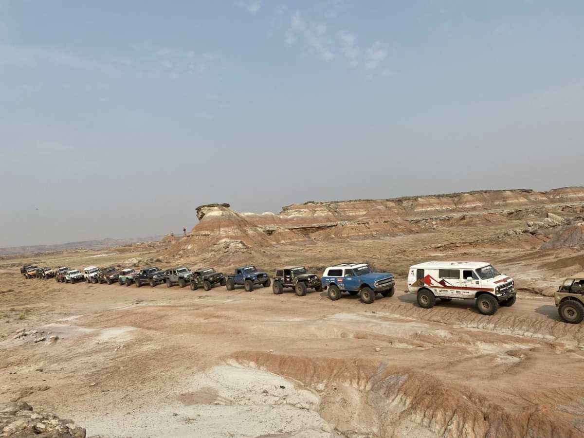
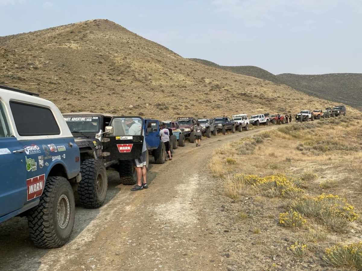
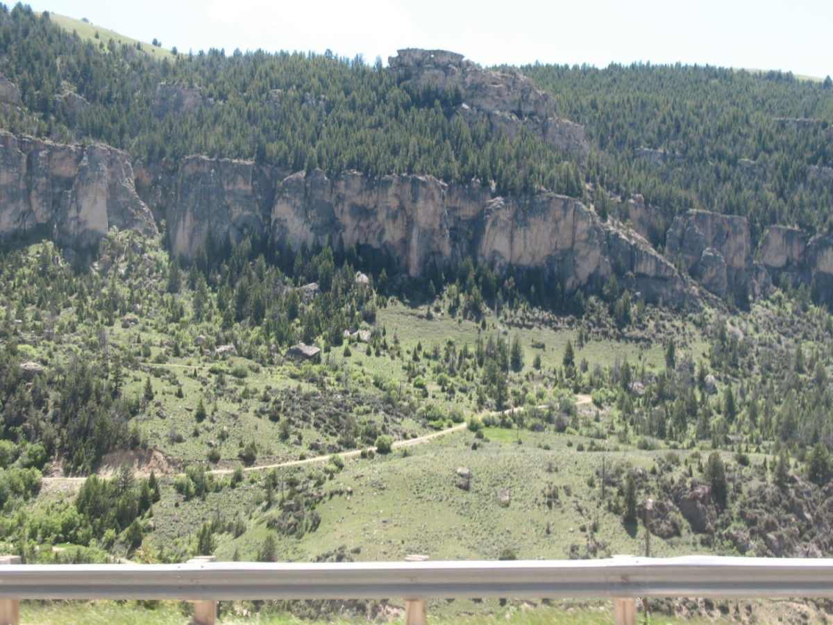
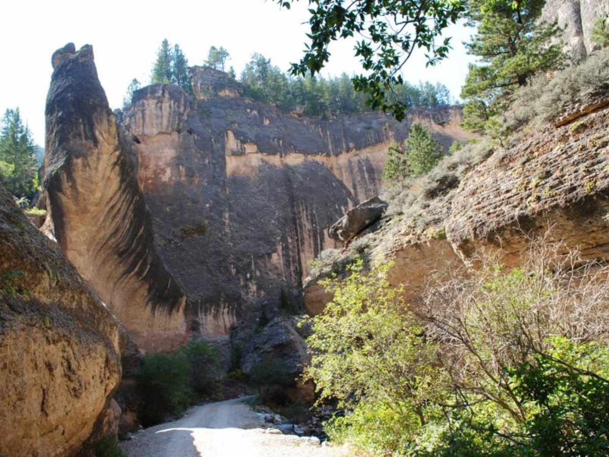
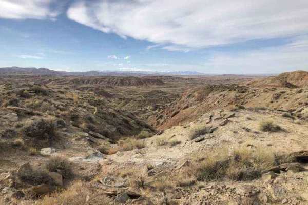
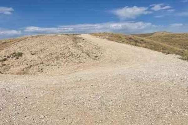
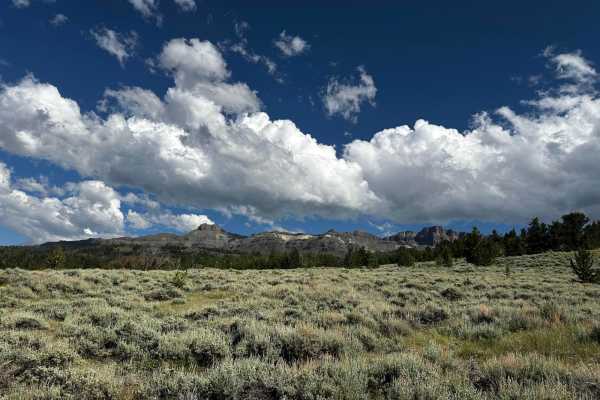
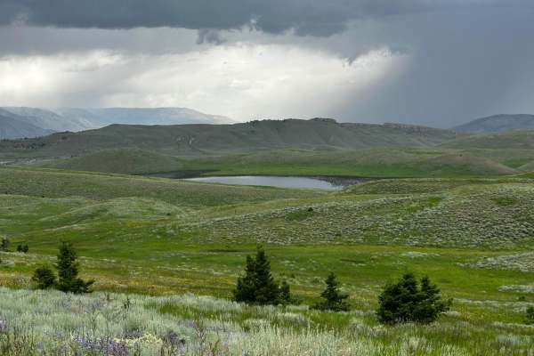
Fenton Pass offers an expansive, scenic point-to-point journey through the rugged badlands of the Bighorn Basin, making it an excellent option for overland enthusiasts, SxS riders, and four-wheel-drive vehicles seeking a remote backcountry experience. Starting near Worland, this graded dirt and gravel route winds northwest through a starkly beautiful desert landscape of eroded clay hills, sagebrush flats, and dramatic sandstone formations before descending near Burlington. Rated as an easy technical drive, the trail is generally straightforward under dry conditions, offering wide-open vistas of the surrounding basin and distant mountain ranges. However, travelers should remain alert for minor washboard sections, occasional ruts, and washouts that can develop after seasonal storms.
Because the local soil contains a high concentration of bentonite clay, the surface quickly transforms into slick, impassable mud when wet, making dry weather essential for a safe journey. Offroaders should carry plenty of water and self-recovery gear, as cell service is spotty to nonexistent in these remote stretches of BLM land. Wildlife viewing is a common highlight, with opportunities to spot wild horses, pronghorn, and birds of prey along the route. The pass serves as a historic corridor connecting the southern and northern portions of the basin, providing a true sense of solitude and old-west exploration without requiring highly modified rigs.
Access Description
This route crosses public Bureau of Land Management (BLM) lands. No permits or fees are required to access or drive the route. However, travel is highly dependent on weather conditions, as the road surface becomes impassable when wet.