
Dirt Bike Trails
Near Clint, Texas
Explore All Dirt Bike Trails Near Clint, Texas
Dirt Bike Trails Near Clint, Texas
Discover the best dirt bike trails near you. Browse trail maps, check difficulty ratings, and find your next adventure — whether you're looking for a quick ride or an all-day expedition.
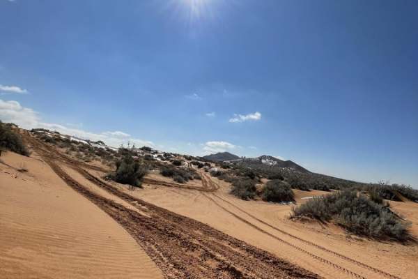
Gateway to Red Sands
The Gateway to Red Sands is a shallow, washed-out trail that has been used for years. While the majority of the trail is comparable to a dry riverbed and suitable for any 4WD vehicle, there are areas with obstacles suitable for built off-road rigs with ledges up to three feet tall. The trail runs th...
Learn more about Gateway to Red Sands
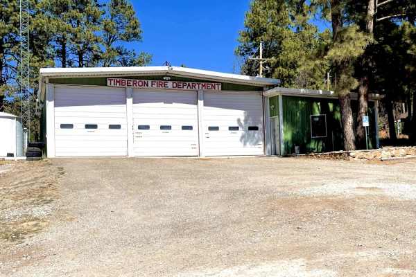
Timberon Overland Express
The Timberon Overland Express is a great way to get a taste of overlanding without much preparation. The route can be run in either direction, as the entire trip is on county roads which cross state lines between New Mexico and Texas. You will cross through private ranch land, BLM lands, the Lincoln...
Learn more about Timberon Overland Express
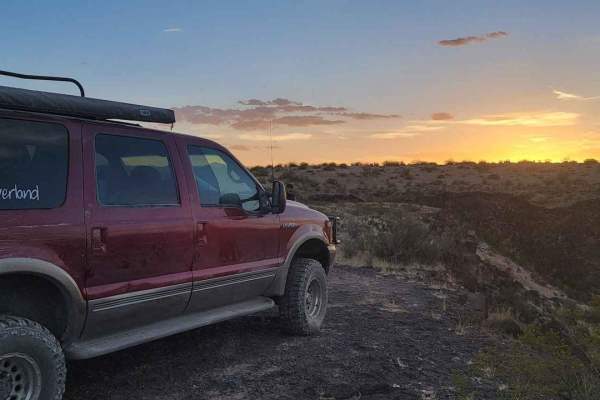
Border to Las Cruces
This trail starts on Highway 9 in New Mexico. This Highway parallels the border wall for a good while. Once you turn off onto the trail, you have the opportunity to air down. Though the trail is not very technical and is pretty well maintained, there are occasional pockets of silt you must watch for...
Learn more about Border to Las Cruces
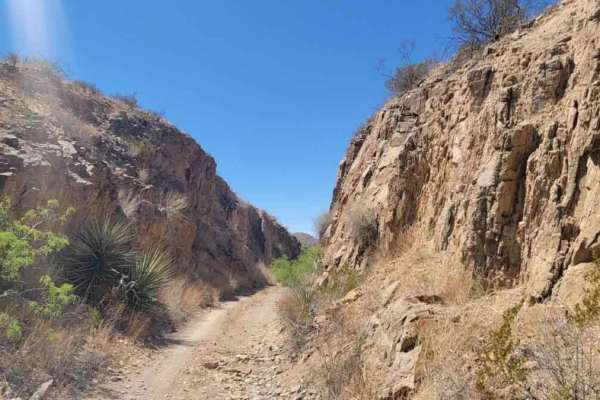
Cut Out Loop
This trail is about 6 miles long right outside of Oro Grande New Mexico. There are many trails in the area that lead to old prospected mines. Many of the mines are closed off but a few are open and should be explored with precaution. On this trail, you will encounter a variety of terrains. This is a...
Learn more about Cut Out Loop
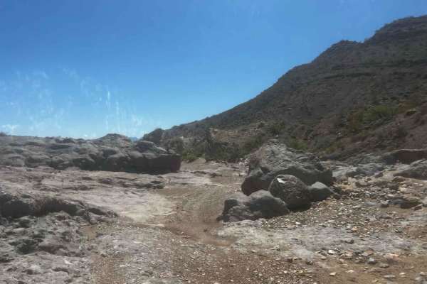
West Mesa Loves Loop
Some light sandy two-track slowly weaves into harder and deeper sand in a rocky canyon that loops over to another canyon with great views and awesome great views of the mesa from Aiden Hills OHV and picacho peak, box canyon, and box canyon dam. This route is great for a scenic afternoon ride and gre...
Learn more about West Mesa Loves Loop
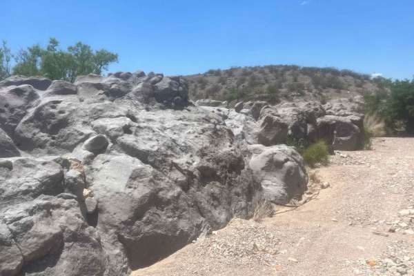
Faulkner Gap
This is an easy fast route through canyons and sweeping roads that cut through BLM-leased property so please practice the leave-no-trace policy and close all gates as cattle are out and roaming in these areas. Cell phone service is limited! There is some steep terrain but there are ways around it. p...
Learn more about Faulkner Gap
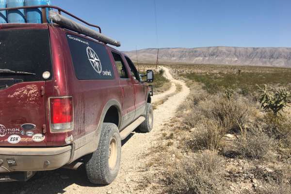
El Paso Gap Trail
This trail is a total of 52 miles and connects the town of Dell City to NM Highway 137 which can go to Queens Nm or to the far campsite of Dog Canyon in the Guadalupe National Park. This trail is comprised of gravel roads with occasional unmaintained sections of the road. The last location to get fu...
Learn more about El Paso Gap Trail
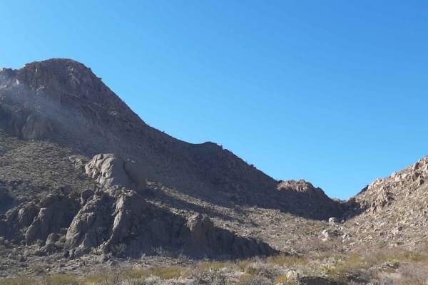
Lookout Point
This is a fairly easy run through the eastern middle Dona Anas to a nice overlook. The Starting point for this run is east of the South mountain bike parking lot and leads to the overlook near the eastern powerline road. This area is a mixed-use section of the Organ Mtns Park and crosses several mou...
Learn more about Lookout Point
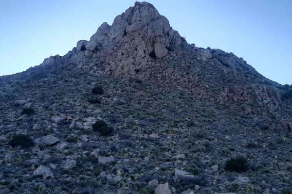
Nalgas Rock Overlook via Powerline Road
This short ride in the Dona Ana Mountains starts from the end of the desert wind way past the Dona Ana Trailhead. The road was in generally good condition with a few rock ledges and washouts where it crosses arroyos. Nalgas Rock is a rather large boulder near the end of the trail at the overlook/end...
Learn more about Nalgas Rock Overlook via Powerline Road
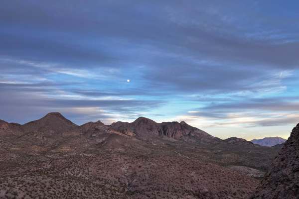
Big Rock View
This trail features rough terrain. You will definitely need an experienced driver. The trails are a mix of sand and rocks. There are beautiful views once you reach the trail and you are able to do some rock climbing as well as short hikes to access different angles of the Dona Ana Mountains. It is w...
Learn more about Big Rock View
ATV trails near Clint, Texas
Explore ATV-friendly trails near you. These trails are accessible for vehicles up to 50 inches wide, perfect for ATVs and smaller off-road machines.
Gateway to Red Sands
The Gateway to Red Sands is a shallow, washed-out trail that has been used for years. While the majority of the trail is comparable to a dry riverbed and suitable for any 4WD vehicle, there are areas with obstacles suitable for built off-road rigs with ledges up to three feet tall. The trail runs th...
Learn more about Gateway to Red Sands
Timberon Overland Express
The Timberon Overland Express is a great way to get a taste of overlanding without much preparation. The route can be run in either direction, as the entire trip is on county roads which cross state lines between New Mexico and Texas. You will cross through private ranch land, BLM lands, the Lincoln...
Learn more about Timberon Overland Express
Border to Las Cruces
This trail starts on Highway 9 in New Mexico. This Highway parallels the border wall for a good while. Once you turn off onto the trail, you have the opportunity to air down. Though the trail is not very technical and is pretty well maintained, there are occasional pockets of silt you must watch for...
Learn more about Border to Las Cruces
Cut Out Loop
This trail is about 6 miles long right outside of Oro Grande New Mexico. There are many trails in the area that lead to old prospected mines. Many of the mines are closed off but a few are open and should be explored with precaution. On this trail, you will encounter a variety of terrains. This is a...
Learn more about Cut Out Loop
UTV/side-by-side trails near Clint, Texas
Find UTV and side-by-side trails near you. These trails accommodate vehicles up to 60 inches wide, ideal for UTVs, side-by-sides, and wider off-road rigs.
Border to Las Cruces
This trail starts on Highway 9 in New Mexico. This Highway parallels the border wall for a good while. Once you turn off onto the trail, you have the opportunity to air down. Though the trail is not very technical and is pretty well maintained, there are occasional pockets of silt you must watch for...
Learn more about Border to Las Cruces
Cut Out Loop
This trail is about 6 miles long right outside of Oro Grande New Mexico. There are many trails in the area that lead to old prospected mines. Many of the mines are closed off but a few are open and should be explored with precaution. On this trail, you will encounter a variety of terrains. This is a...
Learn more about Cut Out Loop
West Mesa Loves Loop
Some light sandy two-track slowly weaves into harder and deeper sand in a rocky canyon that loops over to another canyon with great views and awesome great views of the mesa from Aiden Hills OHV and picacho peak, box canyon, and box canyon dam. This route is great for a scenic afternoon ride and gre...
Learn more about West Mesa Loves Loop
Faulkner Gap
This is an easy fast route through canyons and sweeping roads that cut through BLM-leased property so please practice the leave-no-trace policy and close all gates as cattle are out and roaming in these areas. Cell phone service is limited! There is some steep terrain but there are ways around it. p...
Learn more about Faulkner Gap
The onX Offroad Difference
onX Offroad combines trail photos, descriptions, difficulty ratings, width restrictions, seasonality, and more in a user-friendly interface. Available on all devices, with offline access and full compatibility with CarPlay and Android Auto. Discover what you're missing today!
Open Trail Map