Trail Overview
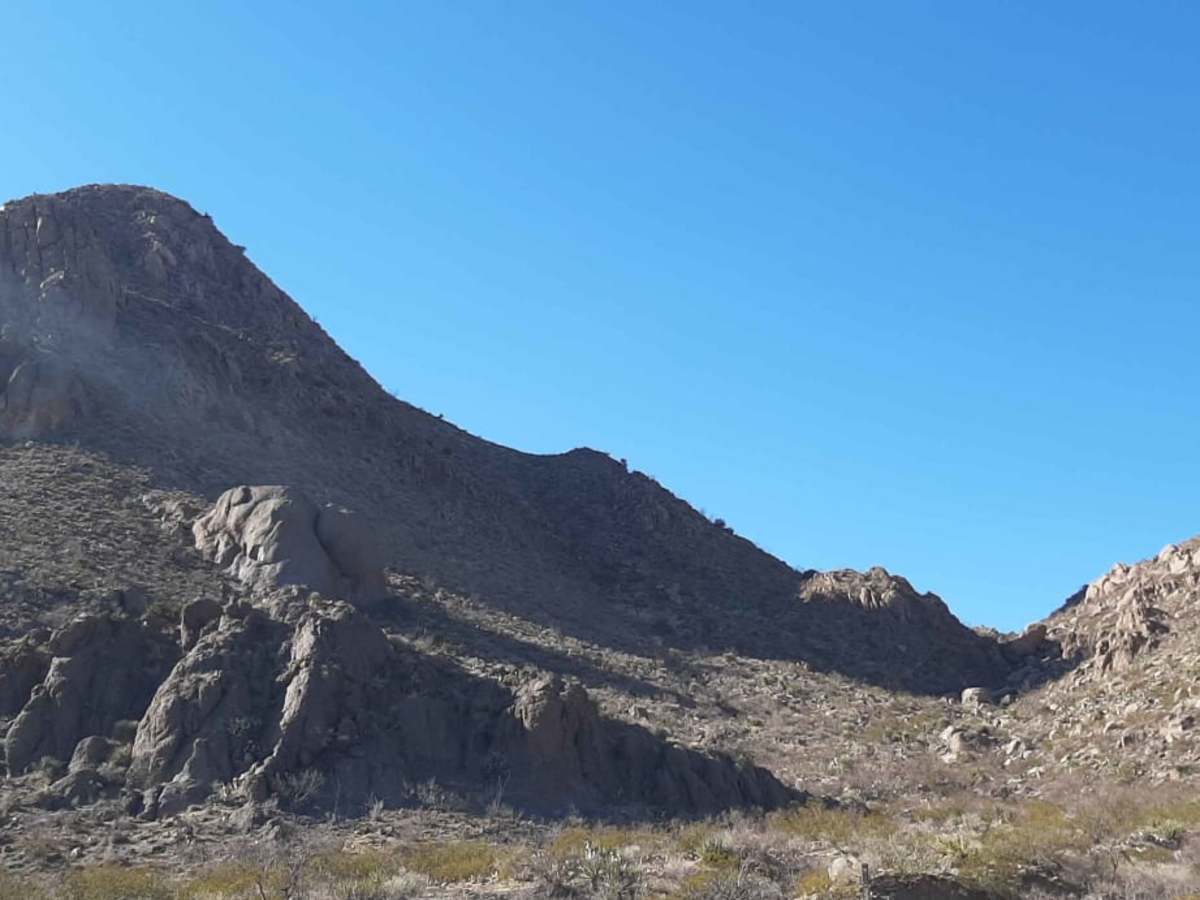
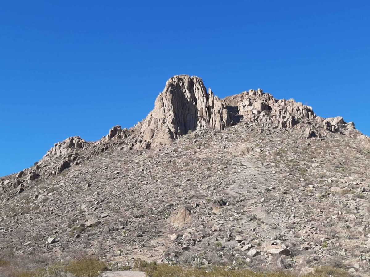
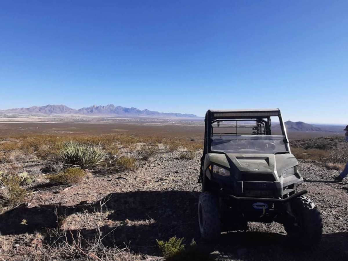
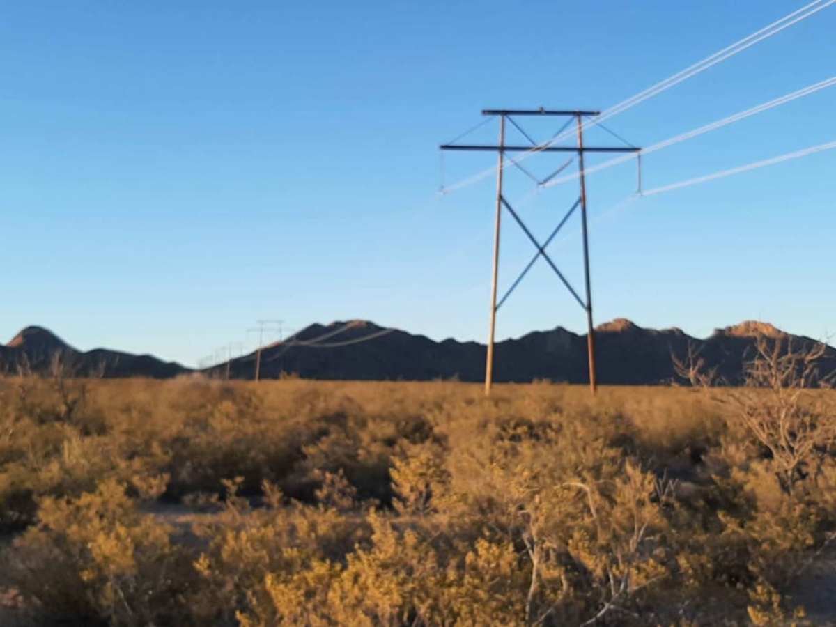
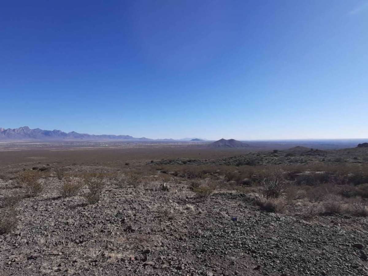
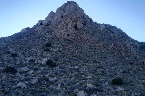
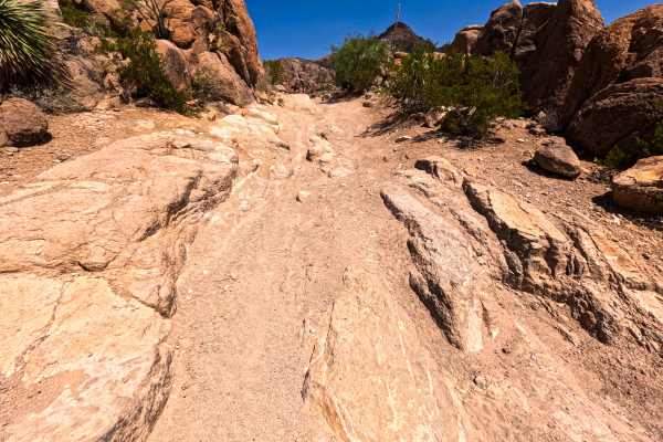
Lookout Point is an ideal route for beginner to intermediate offroaders looking for a scenic run through the eastern-middle Doña Ana Mountains that ends with a rewarding overlook. Spanning approximately 3.4 miles, this trail starts east of the South mountain bike parking lot off of Desert Wind Road and winds its way to an expansive overlook near the eastern powerline road. Operating with a technical rating of 3, the route features typical desert terrain with unpaved dirt surfaces, loose rock, and sandy stretches that are best navigated by high-clearance four-wheel-drive vehicles, SxSs, or dirt bikes. Drivers will experience a gentle elevation drop of roughly 575 feet, with elevations ranging between 4,271 and 4,846 feet above sea level.
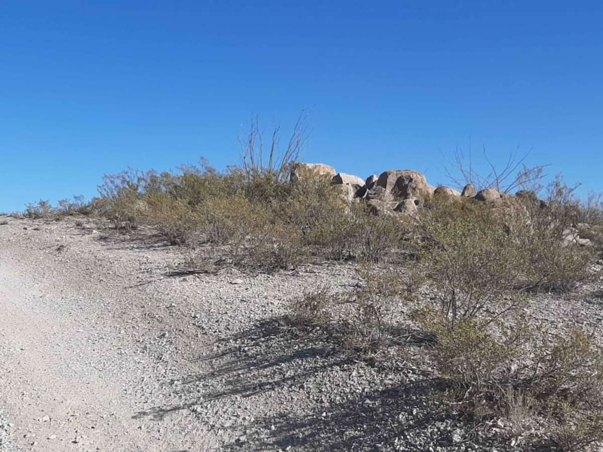
Because this trail traverses a mixed-use section of the Organ Mountains-Desert Peaks National Monument, offroaders must share the area with other recreationalists. The route crosses several single-track mountain bike trails, so keeping a sharp eye out for crossing cyclists is crucial for safety. It is important to remember that these single-track mountain bike trails are strictly closed to motorized vehicle traffic, meaning vehicles must stay on the designated motorized path. With no major obstacles but plenty of loose, shifting desert dirt, this trail offers a straightforward yet engaging drive that is highly accessible during the cooler fall, winter, and spring months.
Access Description
The trail is located within a mixed-use section of the Organ Mountains-Desert Peaks National Monument. Motorized vehicles must remain on designated trails, as the intersecting single-track mountain bike trails are strictly closed to motorized use. Be alert for crossing mountain bikers throughout the route.