
Dirt Bike Trails
Near Clay Springs, Arizona
Explore All Dirt Bike Trails Near Clay Springs, Arizona
Dirt Bike Trails Near Clay Springs, Arizona
Discover the best dirt bike trails near you. Browse trail maps, check difficulty ratings, and find your next adventure — whether you're looking for a quick ride or an all-day expedition.
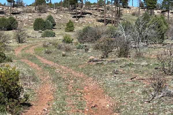
General Crook Trail
This follows the historic General Crook Trail from FS 139 Cottonwood Wash Trailhead to FS 107 Willow Wash. General Crook oversaw the construction of the road from 1872 to 1874. The trail connected Fort Whipple (present-day Prescott) with Fort Apache. It was initially used as a supply route and then ...
Learn more about General Crook Trail
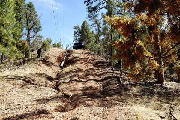
Butler Point
Butler Point is a great trail to access many forest roads within the Apache Sitgreaves Forest. At the beginning, it is a 2WD road accessible to many vehicles. When you turn right and it starts heading west, it becomes a bit more technical in a few spots, and high-clearance 4WD is highly recommended....
Learn more about Butler Point
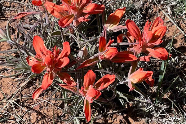
Hunt Tank Shortcut
This shortcut trail connects the northern and southern routes of Cactus Flats at the western end. It avoids the western trailhead, which can get busy on weekends. It is an easy trail with a few ruts. As a shortcut, it will take 4.5 miles off the trip. Most of the area is open with beautiful wildflow...
Learn more about Hunt Tank Shortcut
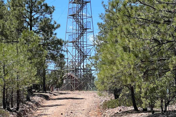
FS 161 West Fork
This beautiful, easy route connects FS 139 Cottonwood Wash with the East Mogollon Rim Road. The decommissioned Deer Springs Fire Lookout rises stoically above the far western side of this route overlooking the Mogollon Rim. This historic forest fire lookout was built in 1923 and listed on the Nation...
Learn more about FS 161 West Fork
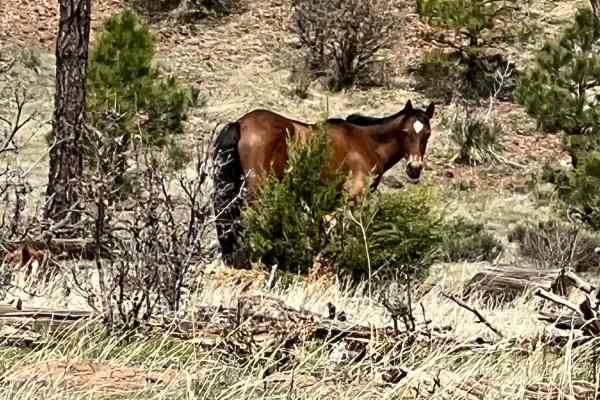
FS 46 Wild Horse Haven
This level, the easy short route follows FS 46 Stinson Road west from FS 139. It is through prime wild horse habitat. Driving slowly will increase your chances of viewing the majestic animals that have lived wild in the area for almost 300 years. The horses are wild and should not be approached. Th...
Learn more about FS 46 Wild Horse Haven
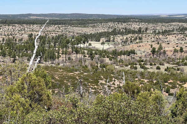
Fir Point View
This is an unmarked ATV/UTV, dirt bike only route due to the trees and bushes making it very narrow. Larger vehicles may be able to avoid some of the trees but some will prevent further travel and there are not many places to turn around. The route starts gradually climbing on both ends before a ste...
Learn more about Fir Point View
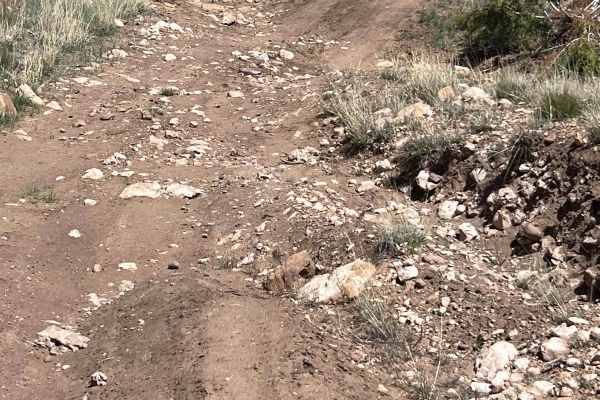
Wilson Draw
This trail is a refreshing break traveling through an arroyo. There are some uneven areas and rocks that add complexity to the ride. There are rocks and trees by the trail that invite you to stretch your legs and relax in the shade. It is a great place for a break, snack, or lunch.
Learn more about Wilson Draw
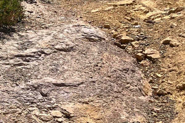
Straight Ridge
This off-camber, challenging trail is narrow with deep ruts and drainage drop-offs in spots. It travels through grassy, open wild horse territory and through some eroded washes. Ponderosa Pines line the route along with skunkbush sumac, chokecherry, and red osier dogwood. This route is seasonally cl...
Learn more about Straight Ridge
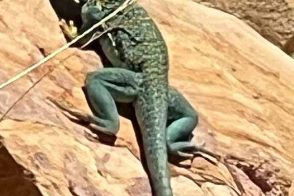
Lazy Lizard - FR 9600S
This easy trail showcases the beautiful, open views of the desert southwest. The green trees are contrasted with the black, tangled roots of dead trees, serving as sentinel to their past. Watch the large rocks carefully in this area for the brilliant green Eastern Collared Lizard sunning itself. The...
Learn more about Lazy Lizard - FR 9600S
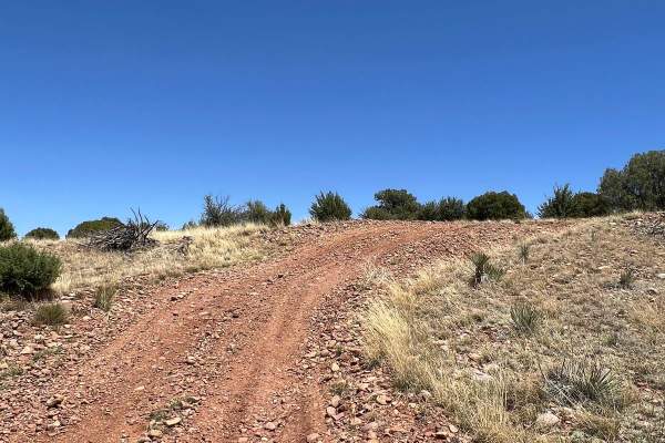
Red Dirt Road
This peaceful, scenic, open route connects the Lazy Lizard FR 9600S to Cactus Flats. There is one very rutted section midway through the route that increases the difficulty. There are numerous overland camping spots on the western side of the trail. Antelope are frequently racing across the open ter...
Learn more about Red Dirt Road

FS 46 Clay Chaos
This route is a continuation of FS 46 Wild Horse Haven. The difficulty of the trail changes drastically due to the slick, clay soil and deep washouts. The clay can become extremely slick with very little moisture and be prepared for sliding due to vehicle momentum.
Learn more about FS 46 Clay Chaos
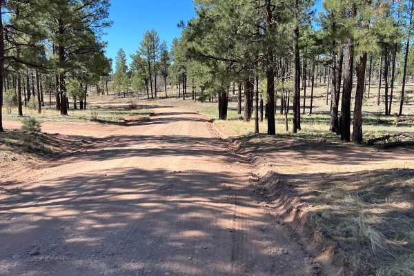
FS 139 Cottonwood Wash
This trail starts at Arizona Highway 260. There is a parking area and staging spot at the turnoff. This trail meanders toward the Mogollon Rim. The area was ravaged by the Rodeo-Chediski Fire in 2002 which burned 410,000 acres. It was the largest fire in Arizona until it was surpassed in 2011. The f...
Learn more about FS 139 Cottonwood Wash
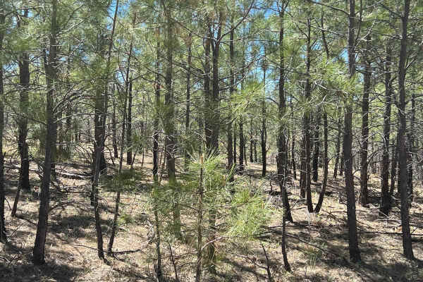
Young Pondo Pine Path
This route is heavily treed and lined with beautiful, young Ponderosa Pines. The area was ravaged by the Rodeo-Chemiski Fire in 2002 and the new trees are all about 20 years old. The route travels through very rocky, steep terrain. It is primarily small rocks traction can be difficult and erosion ca...
Learn more about Young Pondo Pine Path
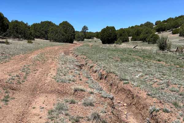
Antelope Shortcut
This shortcut connects West Pinedale Road with the Cactus Flats trail. West Pinedale Road is paved and has easy access to AZ Highway 260. The route is rocky with some ruts. Antelope, coyotes, and hawks can be seen from this route. If you stop along this route, watch out for the giant ant hills.
Learn more about Antelope Shortcut
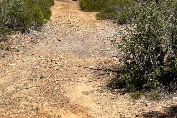
Telephone Ridge
This narrow, short trail is easily overlooked but is fun and challenging and offers spectacular views. It has some sandy off-camber action as well as some rocky hills. At the north end of the route, the most difficult area has over three-foot erosion ruts. A shortcut has been created to avoid that a...
Learn more about Telephone Ridge
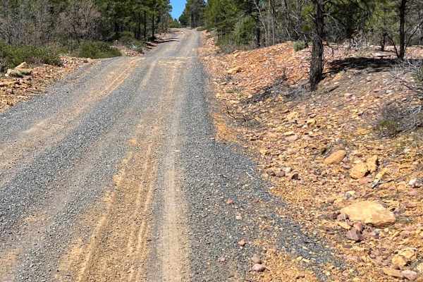
FS 107 Willow Wash
This trail follows FS 107 Willow Wash from Arizona Highway 260 to the Mogollon Rim Road. It is well-traveled but has a few rutted spots and some sandy areas. Watch for the wild horses along this trail. They are the Mogollon Rim wild horses that supposedly descended from the horses brought by the Spa...
Learn more about FS 107 Willow Wash
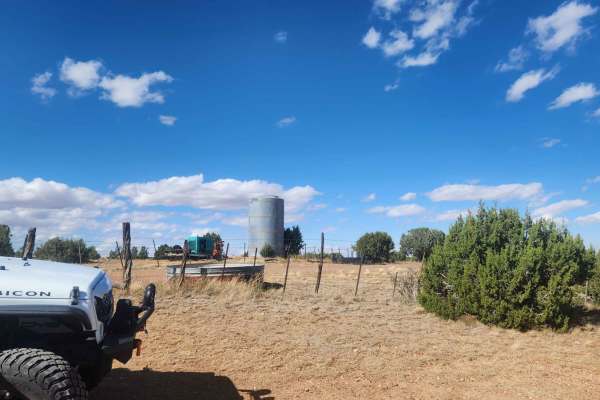
Thistle Well Tank
This is another great out-and-back trail from the Thistle Hollow Road to Thistle Well Tank. It meets up with a closed road on the west side by Thistle Well Tank. The drive back heading East is well worth the trip out and back with spectacular views to the North overlooking the Snowflake-Taylor area....
Learn more about Thistle Well Tank
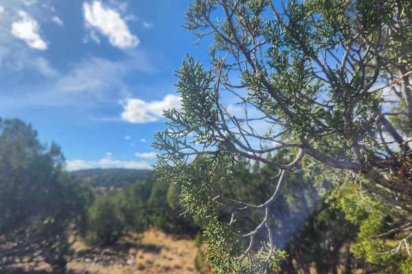
Bull Ranch Draw
This is an awesome trail for views. Almost every part of this trail has views one way or another. This trail offers views of canyons, mountains, rock out cropping's, and Trees. Unfortunately, this trail ends up on a closed road so it is an out-and-back trip. There are some hills to climb and descen...
Learn more about Bull Ranch Draw
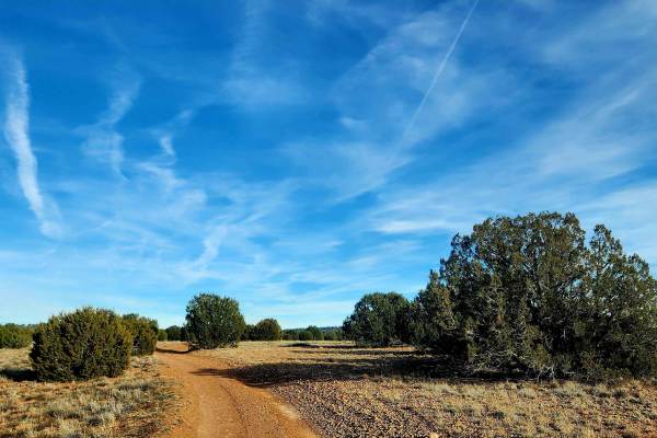
Thistle Hollow - FS 229
This trail travels through Thistle Hollow, an area transitioning from high desert into the lower elevations of the White Mountains. Starting on the north end near Pinedale Road and traveling south toward Lone Pine Dam Road, the landscape gradually shifts from scrub brush and cactus to juniper and sc...
Learn more about Thistle Hollow - FS 229
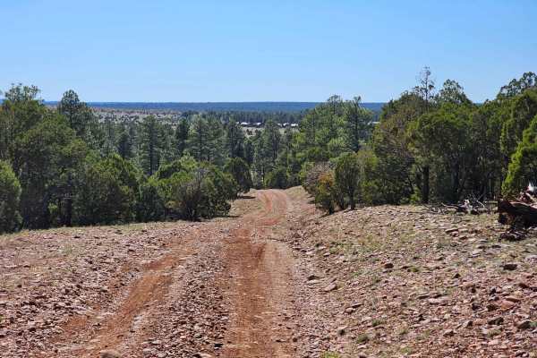
Dead Horse Draw
This is an easy trail winding through forest meadows and across small washes. Despite its name, this trail has lots of wild horses to see. This trail can be traveled in 2WD with medium clearance, however, during and after rain or snow, it can become very muddy. Please do not attempt to use the south...
Learn more about Dead Horse Draw
ATV trails near Clay Springs, Arizona
Explore ATV-friendly trails near you. These trails are accessible for vehicles up to 50 inches wide, perfect for ATVs and smaller off-road machines.
General Crook Trail
This follows the historic General Crook Trail from FS 139 Cottonwood Wash Trailhead to FS 107 Willow Wash. General Crook oversaw the construction of the road from 1872 to 1874. The trail connected Fort Whipple (present-day Prescott) with Fort Apache. It was initially used as a supply route and then ...
Learn more about General Crook Trail
Butler Point
Butler Point is a great trail to access many forest roads within the Apache Sitgreaves Forest. At the beginning, it is a 2WD road accessible to many vehicles. When you turn right and it starts heading west, it becomes a bit more technical in a few spots, and high-clearance 4WD is highly recommended....
Learn more about Butler Point
Hunt Tank Shortcut
This shortcut trail connects the northern and southern routes of Cactus Flats at the western end. It avoids the western trailhead, which can get busy on weekends. It is an easy trail with a few ruts. As a shortcut, it will take 4.5 miles off the trip. Most of the area is open with beautiful wildflow...
Learn more about Hunt Tank Shortcut
FS 161 West Fork
This beautiful, easy route connects FS 139 Cottonwood Wash with the East Mogollon Rim Road. The decommissioned Deer Springs Fire Lookout rises stoically above the far western side of this route overlooking the Mogollon Rim. This historic forest fire lookout was built in 1923 and listed on the Nation...
Learn more about FS 161 West Fork
UTV/side-by-side trails near Clay Springs, Arizona
Find UTV and side-by-side trails near you. These trails accommodate vehicles up to 60 inches wide, ideal for UTVs, side-by-sides, and wider off-road rigs.
General Crook Trail
This follows the historic General Crook Trail from FS 139 Cottonwood Wash Trailhead to FS 107 Willow Wash. General Crook oversaw the construction of the road from 1872 to 1874. The trail connected Fort Whipple (present-day Prescott) with Fort Apache. It was initially used as a supply route and then ...
Learn more about General Crook Trail
Butler Point
Butler Point is a great trail to access many forest roads within the Apache Sitgreaves Forest. At the beginning, it is a 2WD road accessible to many vehicles. When you turn right and it starts heading west, it becomes a bit more technical in a few spots, and high-clearance 4WD is highly recommended....
Learn more about Butler Point
Hunt Tank Shortcut
This shortcut trail connects the northern and southern routes of Cactus Flats at the western end. It avoids the western trailhead, which can get busy on weekends. It is an easy trail with a few ruts. As a shortcut, it will take 4.5 miles off the trip. Most of the area is open with beautiful wildflow...
Learn more about Hunt Tank Shortcut
FS 161 West Fork
This beautiful, easy route connects FS 139 Cottonwood Wash with the East Mogollon Rim Road. The decommissioned Deer Springs Fire Lookout rises stoically above the far western side of this route overlooking the Mogollon Rim. This historic forest fire lookout was built in 1923 and listed on the Nation...
Learn more about FS 161 West Fork
The onX Offroad Difference
onX Offroad combines trail photos, descriptions, difficulty ratings, width restrictions, seasonality, and more in a user-friendly interface. Available on all devices, with offline access and full compatibility with CarPlay and Android Auto. Discover what you're missing today!
Open Trail Map