
Dirt Bike Trails
Near Charlotte, Tennessee
Explore All Dirt Bike Trails Near Charlotte, Tennessee
Dirt Bike Trails Near Charlotte, Tennessee
Discover the best dirt bike trails near you. Browse trail maps, check difficulty ratings, and find your next adventure — whether you're looking for a quick ride or an all-day expedition.
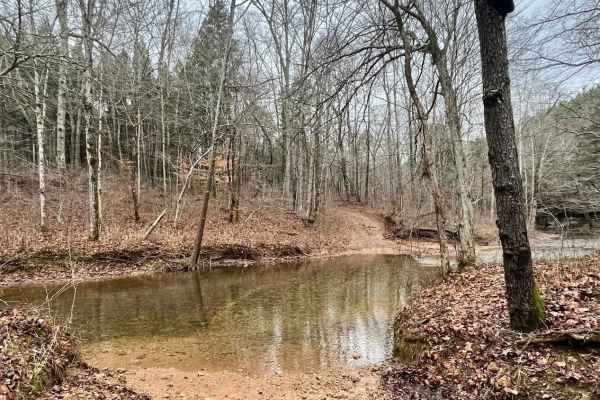
Old Mill Creek Road
Old Mill Creek Road is a scenic and relaxing 4.8-mile off-road trail near Graham, Tennessee that is perfect for beginners. Winding through heavily wooded terrain with a maximum elevation of 664 feet and roughly 551 feet of elevation gain, this route is easily manageable for high-clearance 2WD vehicl...
Learn more about Old Mill Creek Road
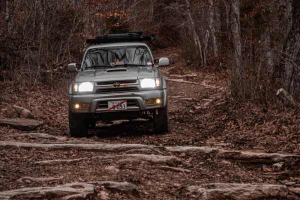
Ben Fly Road
This is a public access dirt road. The creek crossing is best completed by hugging the bank if there have been recent rains. Depending on the direction, before the creek, there will be a hill descent into the creek or a hill climb after exiting the creek if coming from the opposite way. There's priv...
Learn more about Ben Fly Road
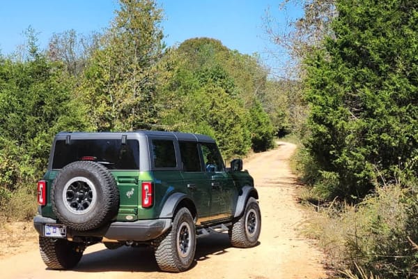
South Lick Creek Road
This is a public access dirt road that makes up a portion of the famed, Tennessee Dirt Devil. While not particularly challenging, trail riders will enjoy beautiful views of sprawling farmland and wildlife. One water crossing has a paved bridge which is eroding heavily at a corner and can be treacher...
Learn more about South Lick Creek Road
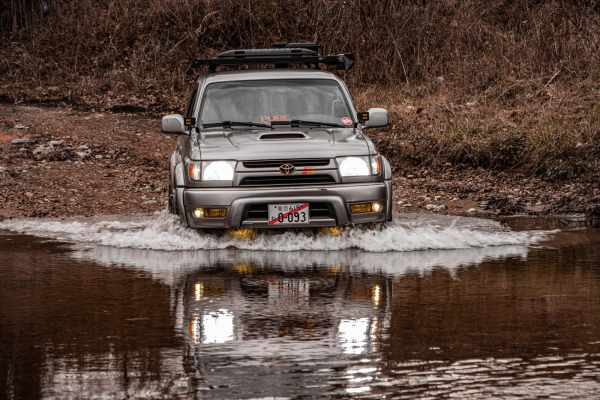
Porter Branch Road
This is a public access dirt road that has a few simple water crossings. It's 2WD-friendly and easy to complete. The surrounding property off the road is private property, so be sure to stay on the road and do not drive up the creek to adhere to Tread Lightly standards as well as local laws.
Learn more about Porter Branch Road
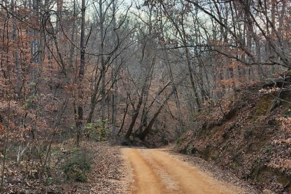
Tyler Ridge Road
This is a public access dirt road that makes up a portion of the famed, Tennessee Dirt Devil. While not particularly challenging, trail riders will enjoy beautiful views graced with an abandoned church and old cemetery, multiple elevation changes with some washed-out areas, puddles to splash through...
Learn more about Tyler Ridge Road
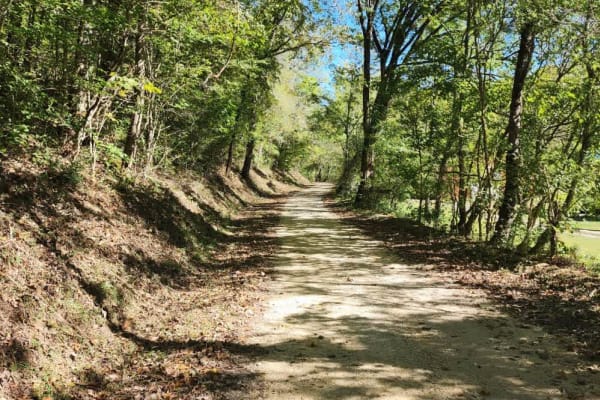
Dutch Potts Hollow Road
This is a public access dirt road that makes up a portion of the famed, Tennessee Dirt Devil. While not particularly challenging, trail riders will enjoy beautiful views graced with rockwork and a very nice waterfall. The surrounding property off the roadway is private property so be sure to stay on...
Learn more about Dutch Potts Hollow Road
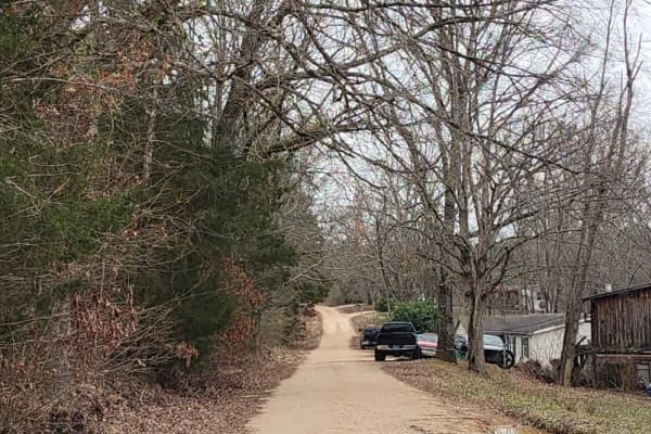
Old Highway 50
This is a public access dirt road that makes up a portion of the famed, Tennessee Dirt Devil. While not particularly challenging, trail riders will enjoy a gorgeous winding trail through a lush forest and little to no traffic leading to a peaceful drive. Several elevation changes occur which can res...
Learn more about Old Highway 50
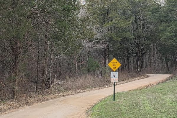
Web Hollow Road
This is a public access dirt road that makes up a portion of the famed, Tennessee Dirt Devil. While not particularly challenging, trail riders will enjoy several elevation changes along a winding trail through a mixed forest. Several single-lane wooden bridges are along the route so be aware of the ...
Learn more about Web Hollow Road
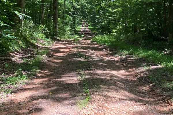
Bear Creek Road
Starts off easy going, small washouts and puddle crossings. The bottoms of the crossings are not muddy and pretty solid. About halfway through, you encounter a 30-degree downward incline. Massive washouts and slippery, loose rock. Spotter advised. Nice little trail through the woods that ends at a p...
Learn more about Bear Creek Road

George Watson Road
George Watson Road takes you to to a primitive Boat Ramp on Lake Barkley. The trail is a gravel forestry road with some soft sand spots that can turn into mud holes after heavy rain. This trail is ususally a very easy road. The Land between the Lakes is an 170,000-acre inland peninsula. Approximatel...
Learn more about George Watson Road
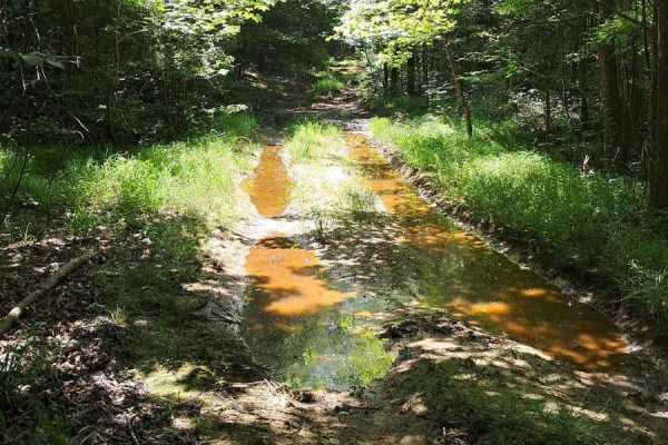
FS 402
Fun trail, lots of puddling, and ways to get your vehicle dirty. Few washouts and slippery areas. There is a tricky spot roughly halfway through where your left side will be much lower than the right side. It does just end at an opening and does not continue past. Good spot to turn around and do it ...
Learn more about FS 402
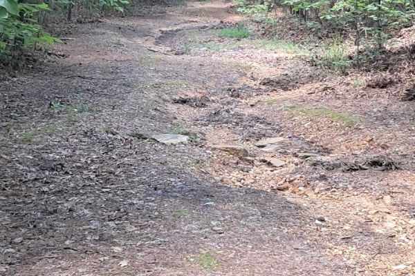
FS 232
Be on the lookout, it sneaks up on your left. It is right before the head of a walking trail. It starts with small washouts and a small off-camber about halfway through. There is a spot where you will want someone to help guide you, one side drops off, and you want to hug the right edge. Once you ma...
Learn more about FS 232
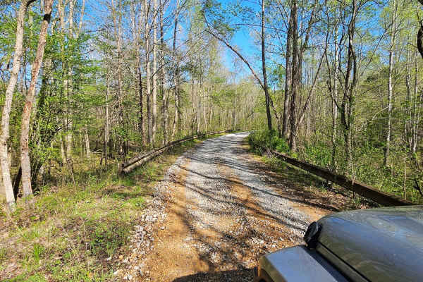
Neville Bay Road 214
This trail is part of the Land Between the Lakes Forestry Road System. It starts its southern leg at Woodlands Trace National Scenic Byway (also known as The Trace), heads east along the northern shore of Neville Bay, and turns north to eventually connect with Linton Ferry Road. At the time of this ...
Learn more about Neville Bay Road 214
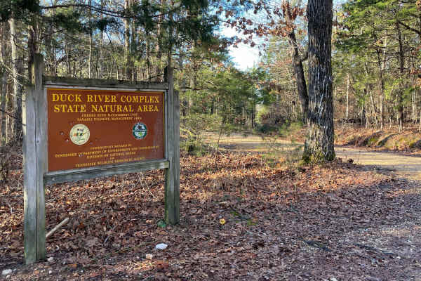
Cheek's Bend Road
Part of the Duck River Complex State Natural Area and Yanahli Wildlife Management Area trail system. No fee is required to drive Cheek’s Bend Road. Access is open year-round. Visitors hiking in the area may optionally contribute via an online donation system available by QR code at the hiking trailh...
Learn more about Cheek's Bend Road
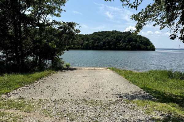
Jones Creek Road
Jones Creek Road takes you to to a primitive campsite and a paved boat ramp on Lake Kentucky. The trail is a gravel forestry road with some soft sand spots that can turn into mud holes after heavy rain. Usually a very easy road. The land between the Lakes is a 170,000-acre inland peninsula. Approxim...
Learn more about Jones Creek Road
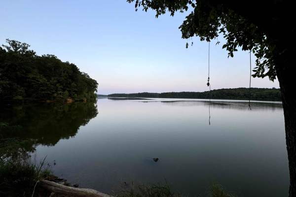
Lake Barkley Road
Lake Barkley Road takes you to a swimming spot with a little beach and a primitive Boat Ramp on Lake Barkley. The trail is a gravel forestry road with some soft sand spots that can turn into mud holes after heavy rain. This is usually a very easy road. The land between the Lakes is a 170,000-acre in...
Learn more about Lake Barkley Road
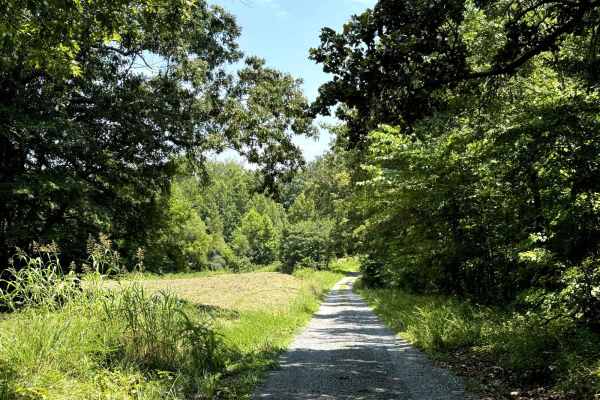
Fords Bay Road
Fords Bay Road connects the main road (Woodlands Trace National Scenic Byway) with CR 165 and CR 347 which takes you to Fords Bay on Lake Barkley. The trail is a gravel forestry road with some soft sand spots that can turn into mud holes after heavy rain. Usually, this is a very easy road. The land ...
Learn more about Fords Bay Road
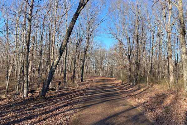
Laurel Hill Road
Laurel Hill Road is a scenic east–west traverse across the northern end of the Laurel Hill Wildlife Management Area, connecting Natchez Trace Parkway on the west to CC Road on the east. While both termini begin on pavement, the route quickly transitions to well-maintained gravel once inside the WMA,...
Learn more about Laurel Hill Road
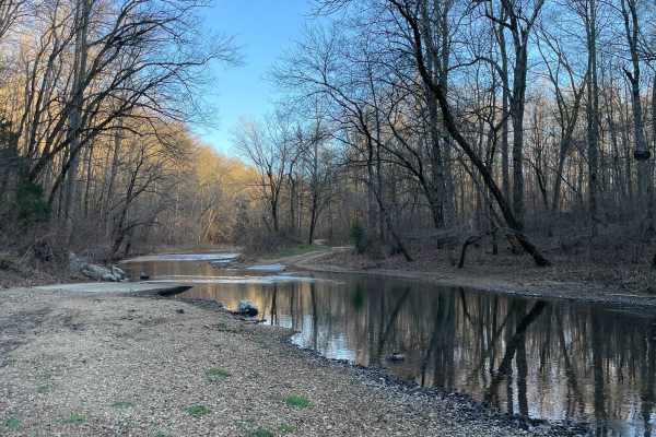
CC Road
CC Road is a short but important connector route within the Laurel Hill Wildlife Management Area, serving as one of the primary eastern access points into the WMA. The road links Laurel Hill Road on the east with Artemis Lane to the west, transitioning from pavement at the entrance to gravel once in...
Learn more about CC Road
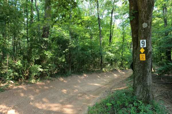
9 to 8 Road
The Turkey Bay 9 to 8 Road is a generally maintained primary gravel/creek bottom road, connecting point to point from the 9 intersection to the 8 intersection inside the Turkey Bay OHV Area, within the Land Between the Lakes National Recreation Area. Its official ID is forestry M01. The road starts ...
Learn more about 9 to 8 Road
ATV trails near Charlotte, Tennessee
Explore ATV-friendly trails near you. These trails are accessible for vehicles up to 50 inches wide, perfect for ATVs and smaller off-road machines.
Old Mill Creek Road
Old Mill Creek Road is a scenic and relaxing 4.8-mile off-road trail near Graham, Tennessee that is perfect for beginners. Winding through heavily wooded terrain with a maximum elevation of 664 feet and roughly 551 feet of elevation gain, this route is easily manageable for high-clearance 2WD vehicl...
Learn more about Old Mill Creek Road
Ben Fly Road
This is a public access dirt road. The creek crossing is best completed by hugging the bank if there have been recent rains. Depending on the direction, before the creek, there will be a hill descent into the creek or a hill climb after exiting the creek if coming from the opposite way. There's priv...
Learn more about Ben Fly Road
South Lick Creek Road
This is a public access dirt road that makes up a portion of the famed, Tennessee Dirt Devil. While not particularly challenging, trail riders will enjoy beautiful views of sprawling farmland and wildlife. One water crossing has a paved bridge which is eroding heavily at a corner and can be treacher...
Learn more about South Lick Creek Road
Porter Branch Road
This is a public access dirt road that has a few simple water crossings. It's 2WD-friendly and easy to complete. The surrounding property off the road is private property, so be sure to stay on the road and do not drive up the creek to adhere to Tread Lightly standards as well as local laws.
Learn more about Porter Branch Road
UTV/side-by-side trails near Charlotte, Tennessee
Find UTV and side-by-side trails near you. These trails accommodate vehicles up to 60 inches wide, ideal for UTVs, side-by-sides, and wider off-road rigs.
Old Mill Creek Road
Old Mill Creek Road is a scenic and relaxing 4.8-mile off-road trail near Graham, Tennessee that is perfect for beginners. Winding through heavily wooded terrain with a maximum elevation of 664 feet and roughly 551 feet of elevation gain, this route is easily manageable for high-clearance 2WD vehicl...
Learn more about Old Mill Creek Road
Ben Fly Road
This is a public access dirt road. The creek crossing is best completed by hugging the bank if there have been recent rains. Depending on the direction, before the creek, there will be a hill descent into the creek or a hill climb after exiting the creek if coming from the opposite way. There's priv...
Learn more about Ben Fly Road
South Lick Creek Road
This is a public access dirt road that makes up a portion of the famed, Tennessee Dirt Devil. While not particularly challenging, trail riders will enjoy beautiful views of sprawling farmland and wildlife. One water crossing has a paved bridge which is eroding heavily at a corner and can be treacher...
Learn more about South Lick Creek Road
Porter Branch Road
This is a public access dirt road that has a few simple water crossings. It's 2WD-friendly and easy to complete. The surrounding property off the road is private property, so be sure to stay on the road and do not drive up the creek to adhere to Tread Lightly standards as well as local laws.
Learn more about Porter Branch Road
The onX Offroad Difference
onX Offroad combines trail photos, descriptions, difficulty ratings, width restrictions, seasonality, and more in a user-friendly interface. Available on all devices, with offline access and full compatibility with CarPlay and Android Auto. Discover what you're missing today!
Open Trail Map