
Dirt Bike Trails
Near Carlton, Oregon
Explore All Dirt Bike Trails Near Carlton, Oregon
Dirt Bike Trails Near Carlton, Oregon
Discover the best dirt bike trails near you. Browse trail maps, check difficulty ratings, and find your next adventure — whether you're looking for a quick ride or an all-day expedition.
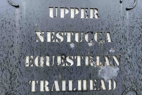
Bell Mountain Loop
Right before you head up this loop you will go through an unnamed road. You will go through a big puddle and up a steep, loose hill with water running down one of the rutted sides, up and over a few water bars that you may think twice if you are in a car. But you never know. May also give it a shot ...
Learn more about Bell Mountain Loop
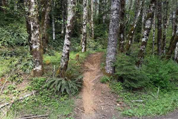
Beaver
Beaver is a 1.3-mile unmarked single-track trail that begins from a light staging area off Ginger Creek. The start features a tight single track with pristine dirt. The trail remains mostly narrow, with a few splits along the way, and conditions can vary over time, including deep ruts and exposed ro...
Learn more about Beaver
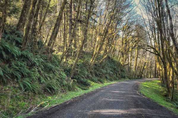
Hoag Pass Road
This gentle, winding gravel road travels through the BLM’s Nestucca River Recreation Area, connecting Bald Mountain Road to Nestucca River Rd. It provides access to numerous ATV trails, so be aware of trail crossings and oncoming traffic. The canopy is predominantly old-growth Douglas Fir, Western ...
Learn more about Hoag Pass Road
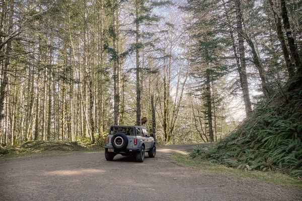
Boundary Road
This gravel route runs through the BLM Nestucca River Recreation Area, connecting Elk Creek Road to Ginger Creek Road, with access to spur roads and pullouts for day-use. The road is generally well-maintained and graded, with compacted gravel, though potholes and seasonal overgrowth, and downed tre...
Learn more about Boundary Road
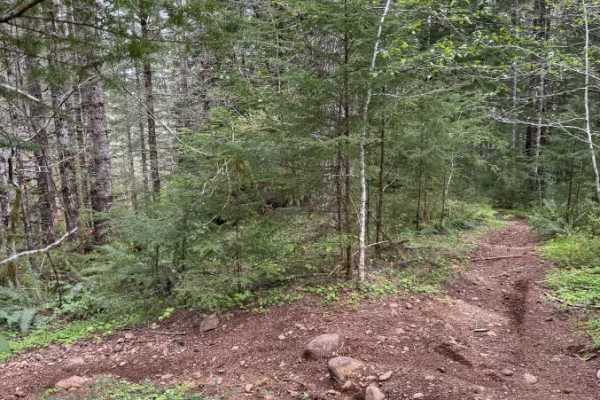
Ginger Creek Access Loop
Ginger Creek Access Loop is a moderately difficult yet rewarding trail packed with tight twists and flowing turns. Beginning off Ginger Creek Road, it winds through towering old-growth forest along narrow single track with excellent traction. Along the route, riders encounter a rocky, technical sect...
Learn more about Ginger Creek Access Loop
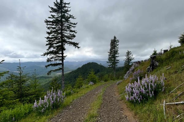
Murphy Guard Station Loop
The route consists of basic logging roads similar to much of the Tillamook State Forest area. There is a modest climb to the viewpoint at approximately 2,500 feet. The viewpoint overlooks the valley of the East Fork/South Fork Trask River area. From the west, the upper route consists of Steamboat Ro...
Learn more about Murphy Guard Station Loop
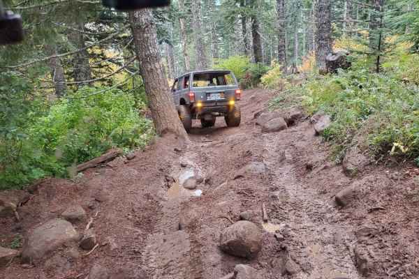
Saddle Up
Most of this trail has been smoothed out to just a dirt road, making it very easy except for a couple of obstacles. One is a pretty tough drop or climb, depending on which direction you choose to run the trail. It is around 10 feet and about a 60-degree angle. It has tree roots, mud, and large rocks...
Learn more about Saddle Up
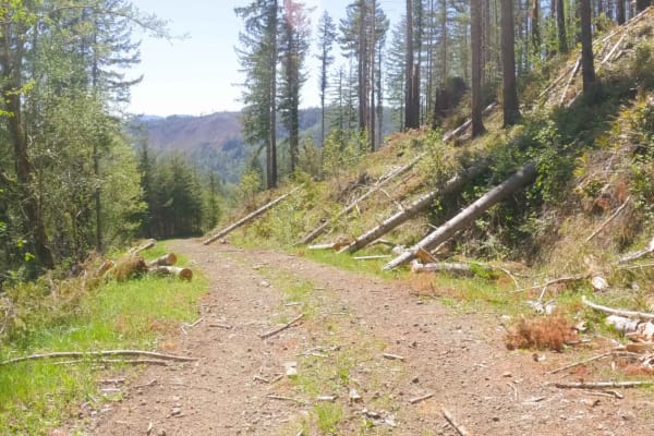
ZigZag Road - South
Zig Zag Road is an easy 3.8 mile gravel forest service road in the Tillamook Range. It is split into three sections (ZigZag Road North - 2.8miles, ZigZag Road South - .5 miles, and the ZigZag Trail - .5 miles) by a change in road surface and character. This easy level-two gravel road changes to a le...
Learn more about ZigZag Road - South
Zig Zag Trail
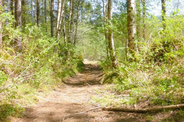
Zig Zag Trail is a fun OHV trail in the center of Zig Zag Road. It climbs / drops (depending on the direction of travel) over 600 feet in half a mile in a tightly forested, undulating two-track with thirteen switchbacks. It is signed as a trail fit for MX, ATV, and short-wheelbase 4x4 vehicles. This...
Learn more about Zig Zag Trail
#104 (Moderate)
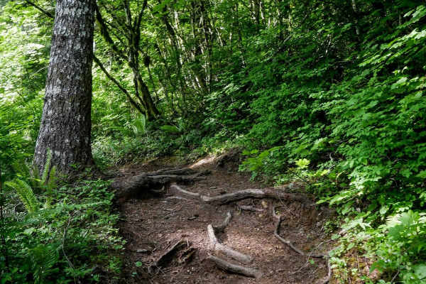
This is a 1.5-mile singletrack that drops off from a logging road into a scenic stretch of typical Pacific Northwest forest: dense, mossy and rooty. The trail is narrow and mostly flowy, with a mix of semi-steep and more gradual terrain. Moderate root obstacles are scattered throughout, but they ten...
Learn more about #104 (Moderate)
ZigZag Road - North
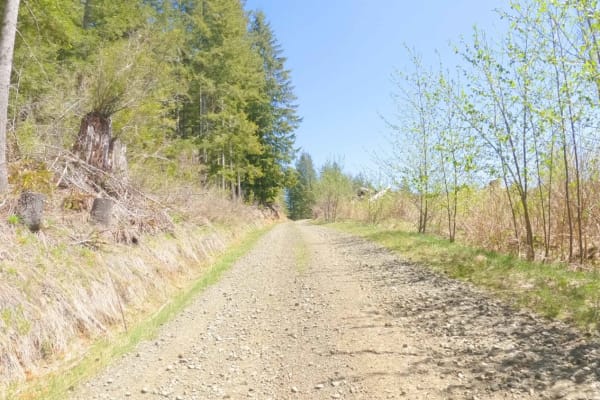
Zig Zag Road is an easy 3.8 mile gravel forest service road in the Tillamook Range. It is split into three sections (ZigZag Road North - 2.8 miles, ZigZag Road South - .5 miles, and the ZigZag Trail - .5 miles) by a change in road surface and character. This easy level-two gravel road changes to a l...
Learn more about ZigZag Road - North
#41D
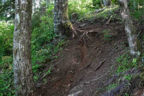
Trail 41D is a short but demanding directional singletrack, running north to south and packing a serious challenge into just a quarter mile. It begins with a steep climb from the north entrance, gaining almost 200 feet in the first half over a very narrow trail with steep, dug-out root obstacles and...
Learn more about #41D
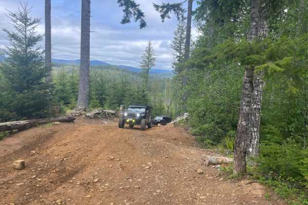
Firebreak 5 Jeep Badge of Honor Trail
The trail is one of 2 Jeep Badge of Honor trails in the Tillamook State Forest (Brown's Camp Area), and is among the most popular routes for off-roaders. The trail is open most of the year, weather and fire permitting. During high fire danger, the park has off hours (morning/evening) or may be close...
Learn more about Firebreak 5 Jeep Badge of Honor Trail
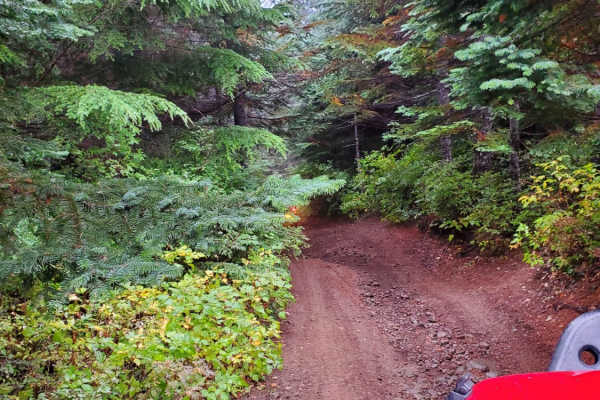
7 Up Ez
This is the easy side of 7 Up. It is fun and not as extreme as the hard side of 7 Up. Winding through the forest, there is a little bit of rutted-out dirt trial, some mud, rock sections, and lots of switchback turns. Lockers are not needed; just about any high clearance 4wd vehicle should be able to...
Learn more about 7 Up Ez
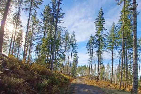
Grindstone View
Grindstone View road runs through the Tillamook State Forest and Siuslaw National Forest. It is an easy gravel road with sections that become more natural, some spots can be muddy when wet. There are some pretty views to enjoy on this route and a couple of good camp spots for a smaller group of vehi...
Learn more about Grindstone View
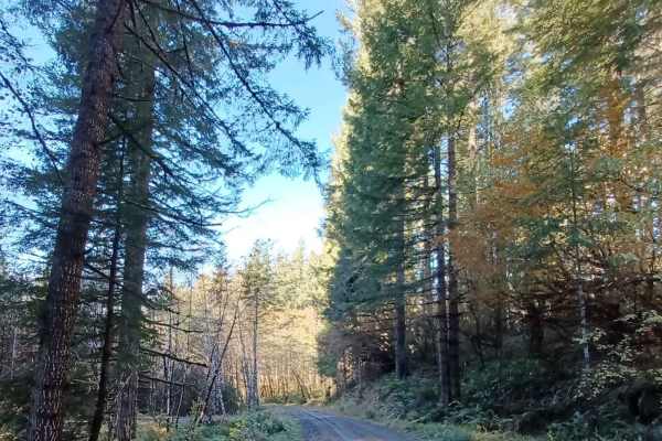
Niagara
Niagara Road runs through the Siuslaw National Forest. It is a one-lane gravel road with turnouts. Some sections of the road are more natural surfaces with sections that get muddy and slippery when wet. There are a few small spots off the side of the road that you could pull over for a night.
Learn more about Niagara
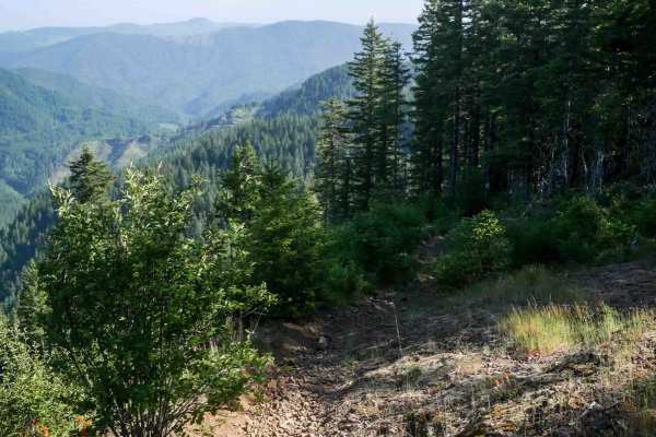
#41B
Trail 41B begins as a wide ridgeline track along the edge of a logging area, with dense forest on one side and open views across a clear-cut slope. The northern section resembles a gravel forest road: wide, smooth and easy with scattered small loose rocks. As the trail progresses south, it narrows i...
Learn more about #41B
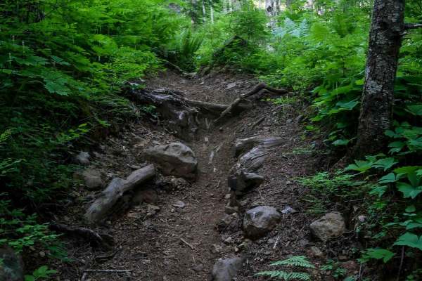
#104 (Difficult)
This is a 2.5-mile singletrack that offers a more approachable intermediate-to-advanced ride compared to the nearby extreme trails. Starting from the north, the trail begins with a semi-steep descent featuring wide, gradual switchbacks and occasional shelfy side-hilling with exposure. Riders will en...
Learn more about #104 (Difficult)
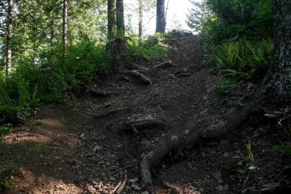
#41C
Trail 41C starts with a wide climb from the north entrance, with rutted embedded rock ledges at the crest of the hill. It narrows into a singletrack on the spine of the mountain, becoming tighter with winding turns and scattered root obstacles. It has a couple more climbing sections with rooty ledge...
Learn more about #41C
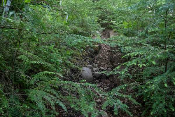
#41E (Difficult)
This is a directional singletrack descending south to north, dropping nearly 900 feet in just 0.8 miles. The trail begins gradually at the ATV intersection, traversing a grassy shelf along the mountainside before tightening into overgrown forest. As the descent steepens, riders must navigate tight w...
Learn more about #41E (Difficult)
ATV trails near Carlton, Oregon
Explore ATV-friendly trails near you. These trails are accessible for vehicles up to 50 inches wide, perfect for ATVs and smaller off-road machines.
Bell Mountain Loop
Right before you head up this loop you will go through an unnamed road. You will go through a big puddle and up a steep, loose hill with water running down one of the rutted sides, up and over a few water bars that you may think twice if you are in a car. But you never know. May also give it a shot ...
Learn more about Bell Mountain Loop
Hoag Pass Road
This gentle, winding gravel road travels through the BLM’s Nestucca River Recreation Area, connecting Bald Mountain Road to Nestucca River Rd. It provides access to numerous ATV trails, so be aware of trail crossings and oncoming traffic. The canopy is predominantly old-growth Douglas Fir, Western ...
Learn more about Hoag Pass Road
Boundary Road
This gravel route runs through the BLM Nestucca River Recreation Area, connecting Elk Creek Road to Ginger Creek Road, with access to spur roads and pullouts for day-use. The road is generally well-maintained and graded, with compacted gravel, though potholes and seasonal overgrowth, and downed tre...
Learn more about Boundary Road
Murphy Guard Station Loop
The route consists of basic logging roads similar to much of the Tillamook State Forest area. There is a modest climb to the viewpoint at approximately 2,500 feet. The viewpoint overlooks the valley of the East Fork/South Fork Trask River area. From the west, the upper route consists of Steamboat Ro...
Learn more about Murphy Guard Station Loop
UTV/side-by-side trails near Carlton, Oregon
Find UTV and side-by-side trails near you. These trails accommodate vehicles up to 60 inches wide, ideal for UTVs, side-by-sides, and wider off-road rigs.
Hoag Pass Road
This gentle, winding gravel road travels through the BLM’s Nestucca River Recreation Area, connecting Bald Mountain Road to Nestucca River Rd. It provides access to numerous ATV trails, so be aware of trail crossings and oncoming traffic. The canopy is predominantly old-growth Douglas Fir, Western ...
Learn more about Hoag Pass Road
Boundary Road
This gravel route runs through the BLM Nestucca River Recreation Area, connecting Elk Creek Road to Ginger Creek Road, with access to spur roads and pullouts for day-use. The road is generally well-maintained and graded, with compacted gravel, though potholes and seasonal overgrowth, and downed tre...
Learn more about Boundary Road
Murphy Guard Station Loop
The route consists of basic logging roads similar to much of the Tillamook State Forest area. There is a modest climb to the viewpoint at approximately 2,500 feet. The viewpoint overlooks the valley of the East Fork/South Fork Trask River area. From the west, the upper route consists of Steamboat Ro...
Learn more about Murphy Guard Station Loop
Saddle Up
Most of this trail has been smoothed out to just a dirt road, making it very easy except for a couple of obstacles. One is a pretty tough drop or climb, depending on which direction you choose to run the trail. It is around 10 feet and about a 60-degree angle. It has tree roots, mud, and large rocks...
Learn more about Saddle Up
The onX Offroad Difference
onX Offroad combines trail photos, descriptions, difficulty ratings, width restrictions, seasonality, and more in a user-friendly interface. Available on all devices, with offline access and full compatibility with CarPlay and Android Auto. Discover what you're missing today!
Open Trail Map