
Dirt Bike Trails
Near Buhl, Idaho
Explore All Dirt Bike Trails Near Buhl, Idaho
Dirt Bike Trails Near Buhl, Idaho
Discover the best dirt bike trails near you. Browse trail maps, check difficulty ratings, and find your next adventure — whether you're looking for a quick ride or an all-day expedition.
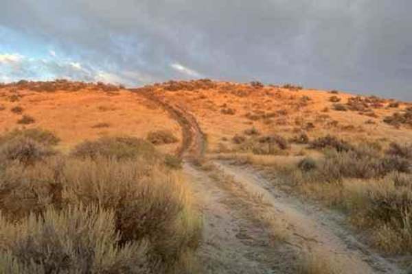
Blue Heart Overlook and Access
This route is meant to give you access to overlooks of the Snake River, and closer access to Idaho's famous Blue Heart Springs. The majority of the trail and surrounding trails are dust, rutted, and double track. Easily accessible for any 4x4 vehicle or anything smaller. Most are very easy, but give...
Learn more about Blue Heart Overlook and Access
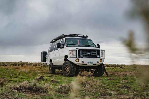
West Berger Rim Overlook
An easy, mostly graded farm trail ends at a nice view of the Salmon Creek Falls canyon below. The trail starts in farmland, so be aware of slow farm traffic. It begins as an easy graded two-lane road then gives way to a rocky, rutted final section. It could be impassable when wet. To continue on the...
Learn more about West Berger Rim Overlook
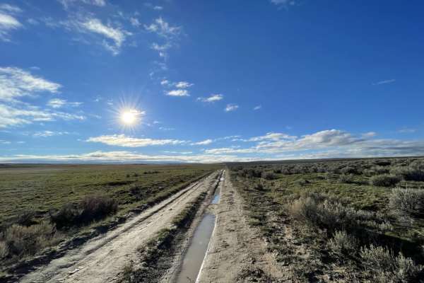
Middle Rim to Overlook Camp
An easy trail mostly two-track through sagebrush featuring open planes and ends at a scenic overlook camping spot to the Salmon Falls River Canyon below. The trail gets mostly rutted and could be impossible when wet. There are many trails on the map for this area but most are no longer there. One ba...
Learn more about Middle Rim to Overlook Camp
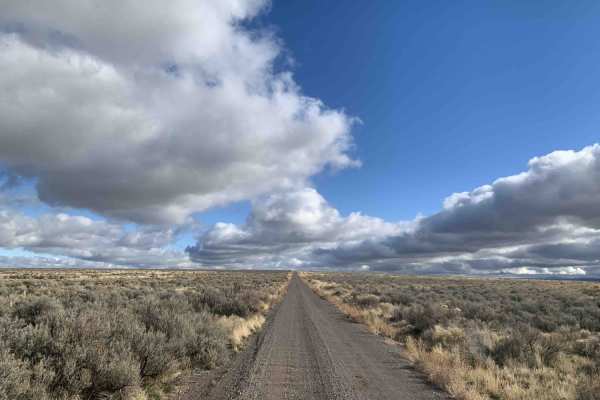
West Cheese Burger
This is the main east-west cut across from Stockman North/South route to the ridge. Primarily graded single-lane road. Some potholes and generally LTE Service. Take Stockman's road south to get to Salmon Falls Creek Reservoir, or take Loughmiller East to get to 93 Highway. The trail may be soupy whe...
Learn more about West Cheese Burger
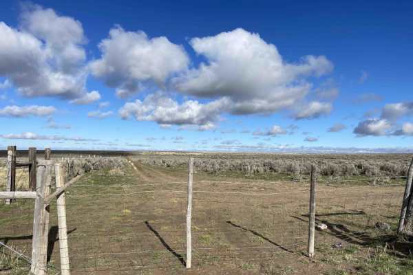
Muddy Cow Fields
Although it's named muddy cow fields, this isn't the main road surface. It's packed gravel and a nice option to come from the north farm fields and access the main heart of the trail network. There are a few cattle guards and gates as you head south or exit the network heading north. Be sure to recl...
Learn more about Muddy Cow Fields
Loughmiller
An easy hard-packed gravel road with some muddy spots and plenty of places for oncoming traffic to cross. The trail gives you access to Stockman Road, south to Salmon Creek reservoir, and westbound access to the Salmon Creek falls lookout. Three bars LTE. Watch for livestock and cattle trailers. Gre...
Learn more about Loughmiller
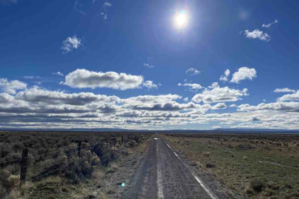
Stockmans Driveway
This is an easy north-south or south-north route via dirt through the area. It provides access to many of the trails in the area. Some dispersed camping can be found along these trails. Generally, this heavily trafficked two-lane trail is a well-graded track used by cattle ranchers. Be sure to close...
Learn more about Stockmans Driveway
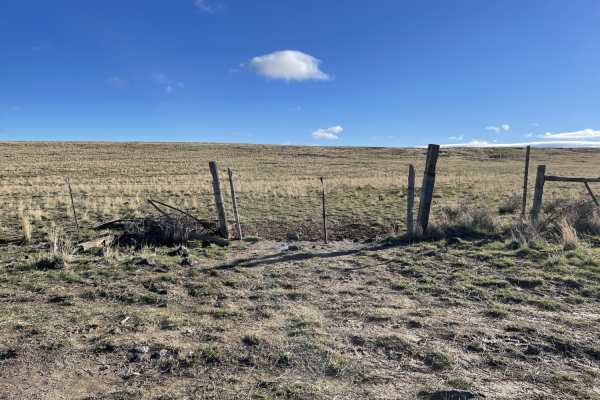
Fence Line Trail
A mostly two-track trail gives way to somewhat graded trail ends in a rock pile on one side that marks the route. Maps show many trails crisscrossing the area, but this is one of the two main ones that still appear to be used. Saw a coyote go by in the flowing grasses that dot the landscape. Be care...
Learn more about Fence Line Trail
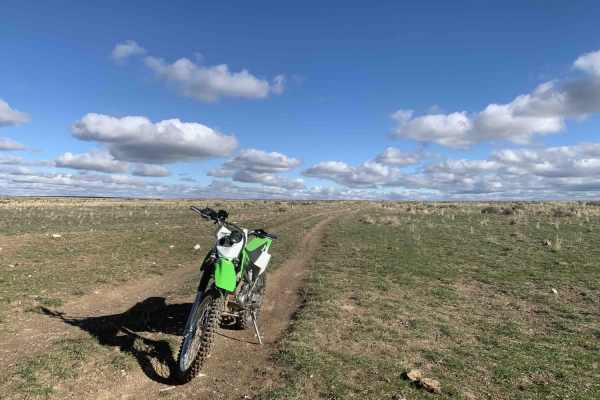
Whiskey Creek Canyon Overlook
A bumpy trail through some BLM cattle pastures. Muddy and slick when wet or after a storm. You will pass through a few closed barbed wire cattle gates;please be sure to close them after you pass through. The middle section of the trail runs through old sagebrush fields. It gets a little tall in the ...
Learn more about Whiskey Creek Canyon Overlook
Callen To Whisky Creek Overlook
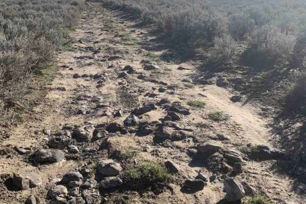
This is the easier route to get over to the turn for Whisky Creek overlook. It's rutted in areas and use caution when it's rained or is wet. Could be quite muddy and slick. A few bumpy rocky sections. Generally flat open cattle grazing area. Connect this up with the other half of Whisky Creek Overlo...
Learn more about Callen To Whisky Creek Overlook
Rough and Tumble
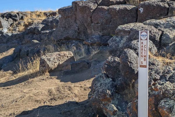
Rough and Tumble is a rock-crawling 4x4 trail located within the Snake River Canyons Park just North of the beautiful Snake River Canyon in Twin Falls, Idaho. This trail was a collaboration of the Southern Idaho Offroad Association, and the Snake River Canyons Park and is part 1 of 2 connected trail...
Learn more about Rough and Tumble
Stock Draw/Old House Loop
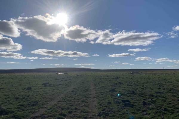
Stock Draw/Old House Loop is a 3.3-mile offroad route in southern Idaho, perfect for drivers of high-clearance four-wheel-drive vehicles and SxSs looking for a quick, scenic trek with historical interest. This bumpy and rutted trail climbs gently from 4,545 feet to a maximum elevation of 4,718 feet,...
Learn more about Stock Draw/Old House Loop
Sturgeon Run
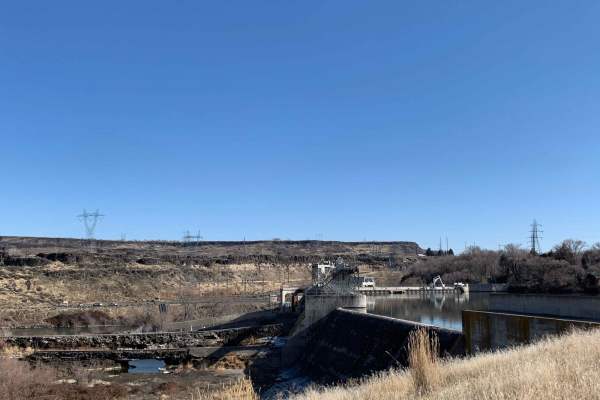
Enjoy a relatively easy and short drive! Wind your way up the Snake River to Lower Salmon Falls Dam. Plenty of spots to take in views, great spots to park and fish or simply enjoy the river. Mostly used for sportsman's access such as fishing and hunting, so please be on the lookout for other vehicle...
Learn more about Sturgeon Run
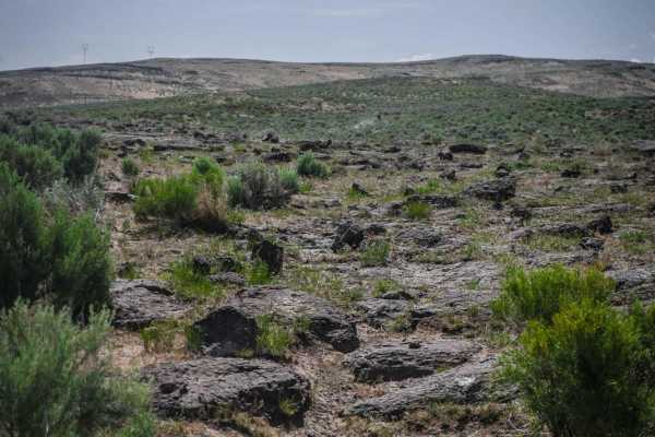
Sweet N Low
This is one of the short desert single tracks in the South Hills Trail System that is right by the staging area. You'll likely see locals here for an afternoon ride or mountain bikers. It's a mostly fast and flowy single track through fields of sagebrush. It has gradual curves and some sections with...
Learn more about Sweet N Low
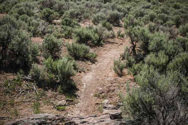
Sidewinder
Sidewinder is a single track full of very tight turns through sagebrush that makes for a great practice trail or warm-up for your day ride since it's close to the staging area and the quick curves will get you warmed up fast. The first half is through pretty flat land with minimal rock. It's aptly n...
Learn more about Sidewinder
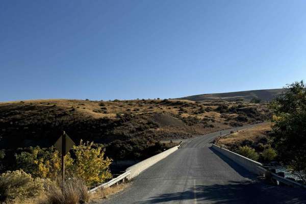
Snake Eyes
Looking for an easy weekend drive? An easy road to see the Snake River from? Or even just a different way of getting from Glenn's Ferry to Bliss? Then this is your route, very well graded, with lots of beautiful farmland, rolling desert hills, and gorgeous vistas of the Snake River Canyon around eve...
Learn more about Snake Eyes
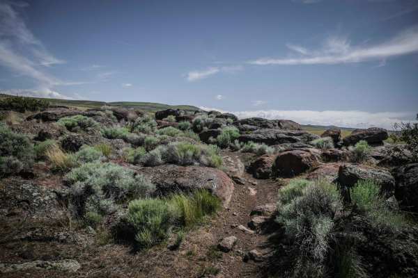
Backdoor
Backdoor is one of the more intermediate trails in the South Hills Trail System because it has some moderate rock crawling. It starts at Lower Sugarloaf and goes along a fence line with minimal rocks to intersect with Sidewinder. Then it goes along several canyon rims with views down to the valley b...
Learn more about Backdoor
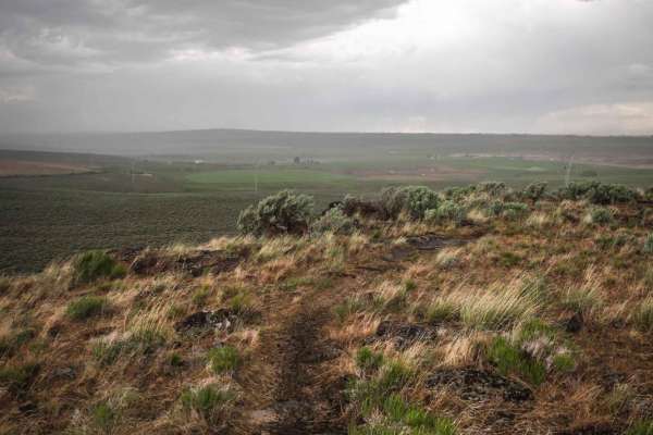
Swami (Part 2 Easier)
This section of Swami is an easy single track that connects to the staging area off of Indian Spring Road. It starts after about a mile of Swami Part 1, as the trail is getting easier and the rock obstacles are ending. It descends from the rim of the hillside from part 1 and crosses a power line roa...
Learn more about Swami (Part 2 Easier)
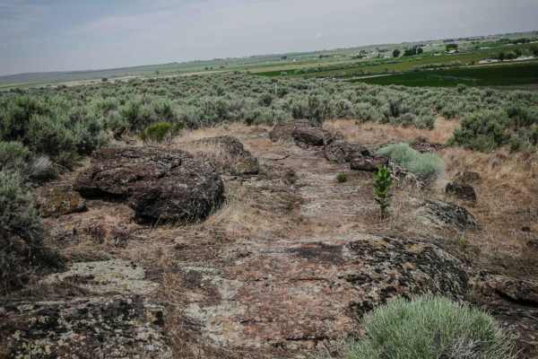
Middle Skills
Middle Skills is one of the curviest trails in the northeast corner of the South Hills Trail System near Twin Falls, Idaho. This part of the trail system has several short and easy trails that are great for beginners. This one is slightly harder than the rest of the trails in this couple mile radius...
Learn more about Middle Skills
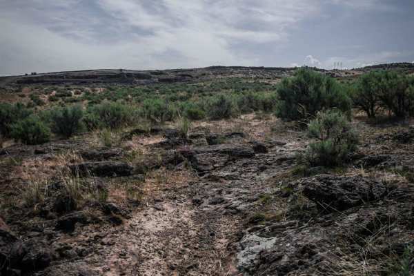
Skull
Skull is a short and twisty single track in the South Hills Trail System near Twin Falls, Idaho. The entire trail is very tight curves through sage brush valleys. It has some embedded slab rock on the surface of the trail in the beginning to go over, but is mostly rock free. You'll likely see mounta...
Learn more about Skull
ATV trails near Buhl, Idaho
Explore ATV-friendly trails near you. These trails are accessible for vehicles up to 50 inches wide, perfect for ATVs and smaller off-road machines.
Blue Heart Overlook and Access
This route is meant to give you access to overlooks of the Snake River, and closer access to Idaho's famous Blue Heart Springs. The majority of the trail and surrounding trails are dust, rutted, and double track. Easily accessible for any 4x4 vehicle or anything smaller. Most are very easy, but give...
Learn more about Blue Heart Overlook and Access
West Berger Rim Overlook
An easy, mostly graded farm trail ends at a nice view of the Salmon Creek Falls canyon below. The trail starts in farmland, so be aware of slow farm traffic. It begins as an easy graded two-lane road then gives way to a rocky, rutted final section. It could be impassable when wet. To continue on the...
Learn more about West Berger Rim Overlook
Middle Rim to Overlook Camp
An easy trail mostly two-track through sagebrush featuring open planes and ends at a scenic overlook camping spot to the Salmon Falls River Canyon below. The trail gets mostly rutted and could be impossible when wet. There are many trails on the map for this area but most are no longer there. One ba...
Learn more about Middle Rim to Overlook Camp
West Cheese Burger
This is the main east-west cut across from Stockman North/South route to the ridge. Primarily graded single-lane road. Some potholes and generally LTE Service. Take Stockman's road south to get to Salmon Falls Creek Reservoir, or take Loughmiller East to get to 93 Highway. The trail may be soupy whe...
Learn more about West Cheese Burger
UTV/side-by-side trails near Buhl, Idaho
Find UTV and side-by-side trails near you. These trails accommodate vehicles up to 60 inches wide, ideal for UTVs, side-by-sides, and wider off-road rigs.
Blue Heart Overlook and Access
This route is meant to give you access to overlooks of the Snake River, and closer access to Idaho's famous Blue Heart Springs. The majority of the trail and surrounding trails are dust, rutted, and double track. Easily accessible for any 4x4 vehicle or anything smaller. Most are very easy, but give...
Learn more about Blue Heart Overlook and Access
West Berger Rim Overlook
An easy, mostly graded farm trail ends at a nice view of the Salmon Creek Falls canyon below. The trail starts in farmland, so be aware of slow farm traffic. It begins as an easy graded two-lane road then gives way to a rocky, rutted final section. It could be impassable when wet. To continue on the...
Learn more about West Berger Rim Overlook
Middle Rim to Overlook Camp
An easy trail mostly two-track through sagebrush featuring open planes and ends at a scenic overlook camping spot to the Salmon Falls River Canyon below. The trail gets mostly rutted and could be impossible when wet. There are many trails on the map for this area but most are no longer there. One ba...
Learn more about Middle Rim to Overlook Camp
West Cheese Burger
This is the main east-west cut across from Stockman North/South route to the ridge. Primarily graded single-lane road. Some potholes and generally LTE Service. Take Stockman's road south to get to Salmon Falls Creek Reservoir, or take Loughmiller East to get to 93 Highway. The trail may be soupy whe...
Learn more about West Cheese Burger
The onX Offroad Difference
onX Offroad combines trail photos, descriptions, difficulty ratings, width restrictions, seasonality, and more in a user-friendly interface. Available on all devices, with offline access and full compatibility with CarPlay and Android Auto. Discover what you're missing today!
Open Trail Map