
Dirt Bike Trails
Near Brunswick, Maine
Explore All Dirt Bike Trails Near Brunswick, Maine
Dirt Bike Trails Near Brunswick, Maine
Discover the best dirt bike trails near you. Browse trail maps, check difficulty ratings, and find your next adventure — whether you're looking for a quick ride or an all-day expedition.
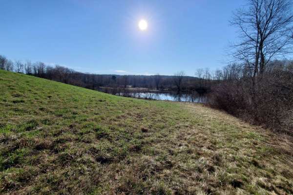
Quarry Road Trail
Designed for intermediate riders, the Quarry Road Trail offers a convenient and scenic escape that seamlessly connects Waterville's commercial hub to the rural trail systems of Fairfield. Starting directly behind the Waterville Home Depot, this 2.4-mile route winds through the scenic Quarry Road Rec...
Learn more about Quarry Road Trail
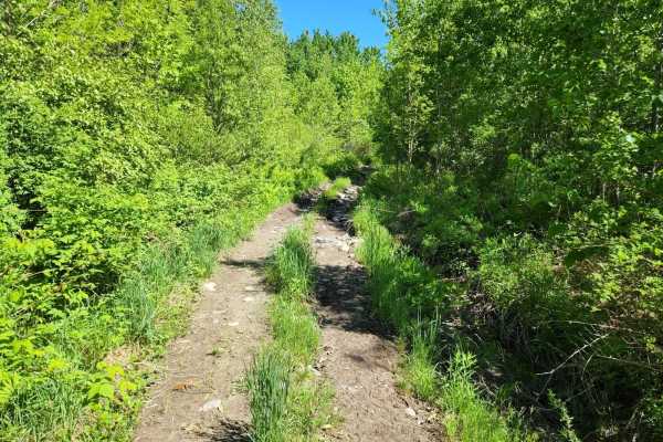
Center Trail
This is a winding trail through mostly woods and fields. This trail is quite smooth with a few small rocks and rocky areas. A few rough exposed roots and a lot of ditches to keep the trail erosion under control. A couple of sharp turns and uneven terrain. No mud but may have mud puddles with a hard ...
Learn more about Center Trail
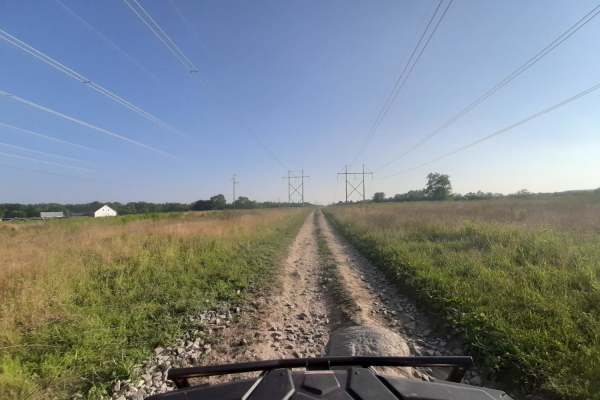
Sanford Maine ATV Club & Rail Trail
Sanford's Rail Trail follows the old Portland and Rochester Railroad Company railbed, passing through many scenic areas in Sanford. This well-maintained, multi-use, flat gravel-topped trail is easily walked and used year round, with stores, ponds and rivers, marshlands, scenic stone bridges and fore...
Learn more about Sanford Maine ATV Club & Rail Trail
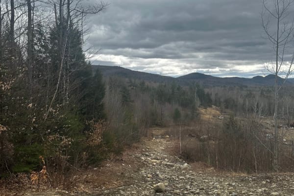
Rocky Mountain Terrain Park
Rocky Mountain Terrain is an 87 acres Off-Road Adventure Park located in Carthage, Maine USA. Off-Road enthusiasts of all types travel from all over the country to test their skills and play with other like minded individuals on varied types of natural terrain and man made obstacles. Upon entering t...
Learn more about Rocky Mountain Terrain Park
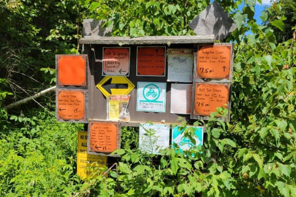
Frye Mountain - High Ridge to Getchell
The Frye Mountain - High Ridge to Getchell trail is a West to East crossing through the Frye Mountain State Game Management Area. This trail is just over 8 miles passing by the Carter Cemetery and includes a small 3 mile (out and back) to another private Cemetery, where the trail becomes a turnarou...
Learn more about Frye Mountain - High Ridge to Getchell
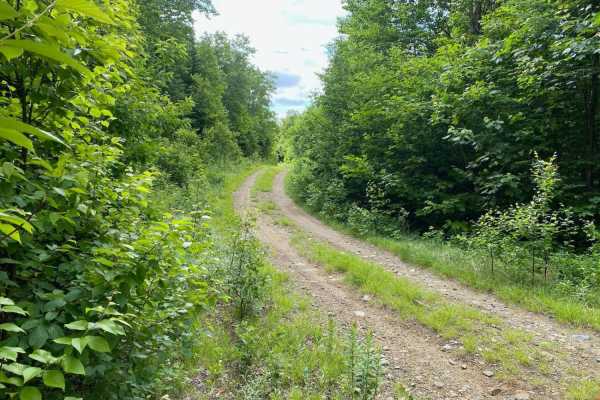
Edes Brook Trail
Edes Brook Trail is a scenic 3.7-mile route near Temple, Maine that serves as a perfect cruising path for beginners or those seeking smooth access to nearby scenic vistas and connecting trail networks. Starting at Intervale Road, the trail winds westward, climbing steadily from an elevation of about...
Learn more about Edes Brook Trail
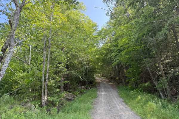
Caverly Road to Devil's Den Road
This route travels across two portions of two Class 6 roads that travel around Caverly Mountain, then between Devil's Den Mountain and Mount Molly. The route is stock four-wheel drive friendly and can be run in either direction. This route starts on Caverly Road and heads West for approximately 1 mi...
Learn more about Caverly Road to Devil's Den Road
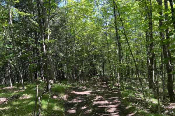
Chase Fire Tower
Chase Fire Tower is an ideal, short trail for beginner to intermediate offroaders seeking a scenic climb with a historical reward at the summit. Spanning just under a half-mile, this route ascends the backside of Chase Hill to a maximum elevation of 764 feet, gaining about 108 feet of cumulative ele...
Learn more about Chase Fire Tower
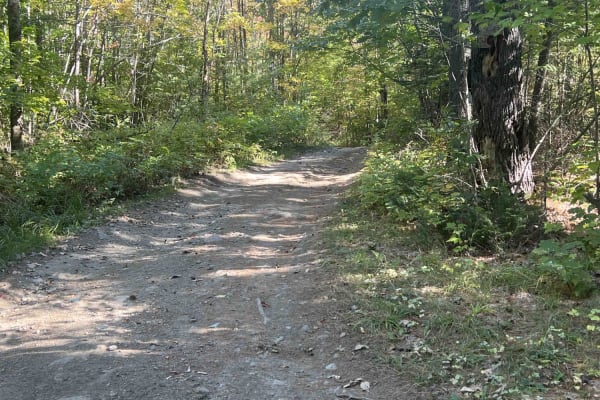
Zonner Road to Cliffy Jewel Pasture Road
This trail starts out on an offshoot of Scott Road that goes out to scenic views over the area. This is a multi-use trail that is open to all types of vehicles. At the mid-point, this road stops being maintained and turns into an offroad trail that is pretty rough and has rocks and some wet mud hol...
Learn more about Zonner Road to Cliffy Jewel Pasture Road
ATV trails near Brunswick, Maine
Explore ATV-friendly trails near you. These trails are accessible for vehicles up to 50 inches wide, perfect for ATVs and smaller off-road machines.
Quarry Road Trail
Designed for intermediate riders, the Quarry Road Trail offers a convenient and scenic escape that seamlessly connects Waterville's commercial hub to the rural trail systems of Fairfield. Starting directly behind the Waterville Home Depot, this 2.4-mile route winds through the scenic Quarry Road Rec...
Learn more about Quarry Road Trail
Center Trail
This is a winding trail through mostly woods and fields. This trail is quite smooth with a few small rocks and rocky areas. A few rough exposed roots and a lot of ditches to keep the trail erosion under control. A couple of sharp turns and uneven terrain. No mud but may have mud puddles with a hard ...
Learn more about Center Trail
Sanford Maine ATV Club & Rail Trail
Sanford's Rail Trail follows the old Portland and Rochester Railroad Company railbed, passing through many scenic areas in Sanford. This well-maintained, multi-use, flat gravel-topped trail is easily walked and used year round, with stores, ponds and rivers, marshlands, scenic stone bridges and fore...
Learn more about Sanford Maine ATV Club & Rail Trail
Frye Mountain - High Ridge to Getchell
The Frye Mountain - High Ridge to Getchell trail is a West to East crossing through the Frye Mountain State Game Management Area. This trail is just over 8 miles passing by the Carter Cemetery and includes a small 3 mile (out and back) to another private Cemetery, where the trail becomes a turnarou...
Learn more about Frye Mountain - High Ridge to Getchell
UTV/side-by-side trails near Brunswick, Maine
Find UTV and side-by-side trails near you. These trails accommodate vehicles up to 60 inches wide, ideal for UTVs, side-by-sides, and wider off-road rigs.
Quarry Road Trail
Designed for intermediate riders, the Quarry Road Trail offers a convenient and scenic escape that seamlessly connects Waterville's commercial hub to the rural trail systems of Fairfield. Starting directly behind the Waterville Home Depot, this 2.4-mile route winds through the scenic Quarry Road Rec...
Learn more about Quarry Road Trail
Center Trail
This is a winding trail through mostly woods and fields. This trail is quite smooth with a few small rocks and rocky areas. A few rough exposed roots and a lot of ditches to keep the trail erosion under control. A couple of sharp turns and uneven terrain. No mud but may have mud puddles with a hard ...
Learn more about Center Trail
Sanford Maine ATV Club & Rail Trail
Sanford's Rail Trail follows the old Portland and Rochester Railroad Company railbed, passing through many scenic areas in Sanford. This well-maintained, multi-use, flat gravel-topped trail is easily walked and used year round, with stores, ponds and rivers, marshlands, scenic stone bridges and fore...
Learn more about Sanford Maine ATV Club & Rail Trail
Rocky Mountain Terrain Park
Rocky Mountain Terrain is an 87 acres Off-Road Adventure Park located in Carthage, Maine USA. Off-Road enthusiasts of all types travel from all over the country to test their skills and play with other like minded individuals on varied types of natural terrain and man made obstacles. Upon entering t...
Learn more about Rocky Mountain Terrain Park
The onX Offroad Difference
onX Offroad combines trail photos, descriptions, difficulty ratings, width restrictions, seasonality, and more in a user-friendly interface. Available on all devices, with offline access and full compatibility with CarPlay and Android Auto. Discover what you're missing today!
Open Trail Map