
Dirt Bike Trails
Near Boulder, Montana
Explore All Dirt Bike Trails Near Boulder, Montana
Dirt Bike Trails Near Boulder, Montana
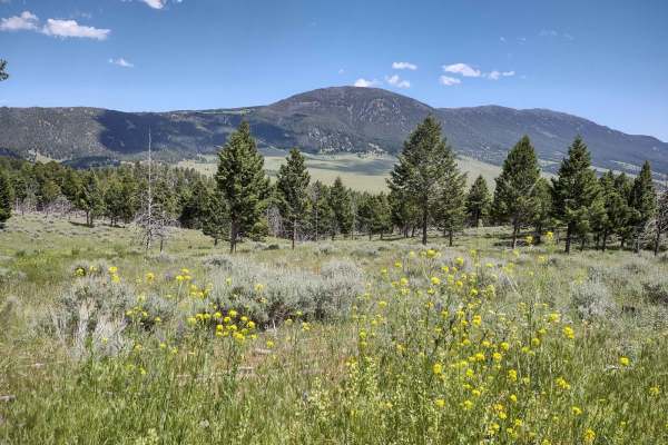
Discover the best dirt bike trails near you. Browse trail maps, check difficulty ratings, and find your next adventure — whether you're looking for a quick ride or an all-day expedition.
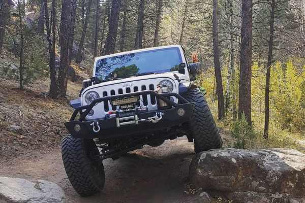
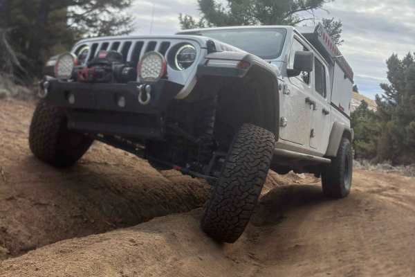
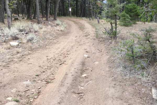
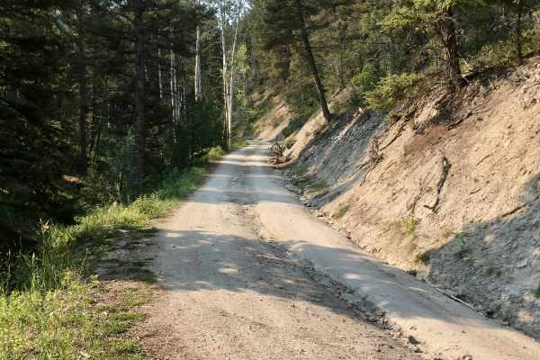
McCarty Creek Trail
McCarty Creek Trail is a moderately challenging, 10.5-mile county road ideal for intermediate off-roaders seeking scenic climbs and engaging obstacles in the Helena National Forest. Beginning near the historic town of Boulder, Montana, this route quickly transitions from flat valley roads into a rug...
Learn more about McCarty Creek Trail
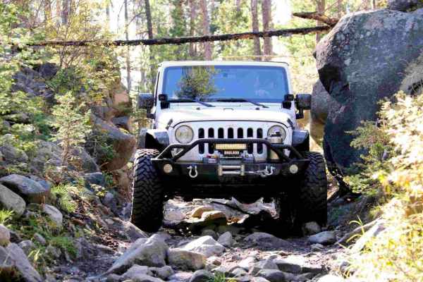
Little Boulder River Rd
This is a great little out-and-back trail that starts out fairly easy with some loose rocks and tight pinches. It gets harder half way through, when the trail gets steeper up a very loose and tight section. Body damage possible for wide vehicles. This trail travels through some dense forest with sev...
Learn more about Little Boulder River Rd
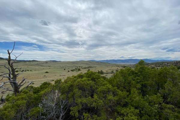
Boulder to Toston via Black Sage Pass
For those who like to take the road less traveled, this back road trek will take you between the small Montana towns of Boulder and Toston. Traversing Jefferson and Broadwater counties this route takes about 2-3 times as long as taking the highways north to Helena or south to Cardwell. In between yo...
Learn more about Boulder to Toston via Black Sage Pass
Bigfoot Creek to Hay Creek
Running just east of Montana's State Route 399 / Whitetail Road, you'll find this trail meandering through the eastern slopes of Deer Lodge National Forest. Outstanding views, a few obstacles and trails just wide enough to squeeze a full-size truck through. About 4.75 miles in, as you head south fro...
Learn more about Bigfoot Creek to Hay Creek
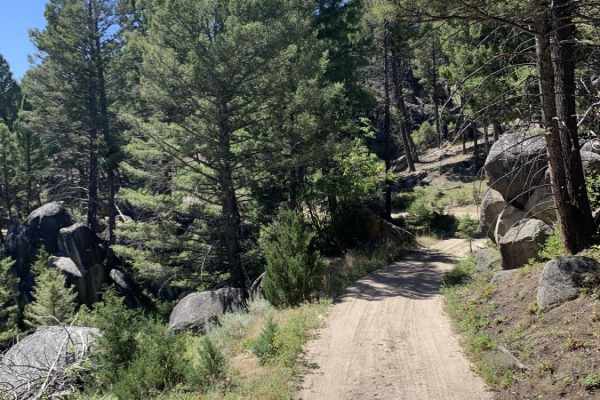
Enterprise North Road
This is a short trail, just over 1.5 miles long, but it can be used to access other trails. It has some great views overlooking the town of Boulder, Montana, and there's one really good remote camping spot with room for up to 6 rigs, a fire ring, and a great view. This is also a great access point f...
Learn more about Enterprise North Road
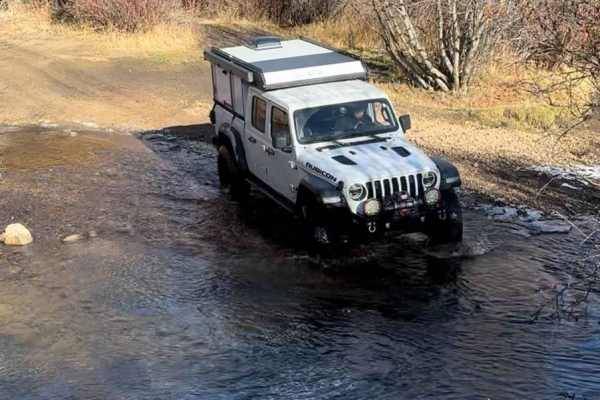
North Beaver Creek
This short but fun trail goes over a ridge top to connect two different areas. It starts with an easy creek crossing immediately if going West to East, and there are two easy creek crossings in total. This trail has a lot of ruts and erosion, with one rock obstacle that would be tight with an entire...
Learn more about North Beaver Creek
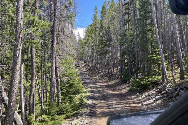
North Fork Trail
This is a 4.4-mile trail designated for use by small 4x4, 60” SxS, ATVs, and dirt bikes. This route includes FS 8694 and FS 8582. The trail travels through stunning stands of Douglas Fir and provides interesting views of granitic rock formations. The tread itself is quite narrow in some places, a...
Learn more about North Fork Trail
Wilderness Wanderings
This trail wanders through a beautiful healthy forest, with some erosion from past run-off visible on the trail. It includes a section of big rocks you have to cross to get to the trail's end. Late in July, there was a big mud hole to cross. Fun and only moderately challenging. From Boulder, MT, ...
Learn more about Wilderness Wanderings

South Beaver
This is a short rutty loop. You'll find a steep hill at the end that adds some excitement to your trip. Pretty simple work for most 4x4 vehicles. Always come prepared with rescue gear, especially in the wintertime. No campsites in this loop but tons of camping opportunities. There is no cell phone s...
Learn more about South Beaver
Little Galena Trail
Beginning from the North Fork Trail, the first two miles of this trail are a pleasant, sceni,c and solitary experience, and the tread is designated and suitable for small 4x4s, 60” SxSs, ATVs, and dirt bikes. At the FS/BLM boundary, however, the trail quickly deteriorates and the trail offers the fu...
Learn more about Little Galena Trail
Erosion Excursion
This trail is very accurately described in its name. Lots of erosion, off-camber, and easy inclines. It's 4.8 miles through a beautiful healthy forest. You do hit a little patch of downed timber, but 80% of it is healthy. Our average speed was just under 5 mph, but not because of difficulty, just e...
Learn more about Erosion Excursion
The Good, the Bad and the Ugly
This trail consists of steep grades, off-camber portions, washouts, erosion, rocks, and ruts. It's a narrow trail, but our 75-inch SXS fit. There's lots of downed timber in the area, which sometimes results in branches or trees over and along the trail, which might cause clearance issues on the side...
Learn more about The Good, the Bad and the Ugly
North Fork Road
This 6.2 mile road connects the Upper Galena area to the Little Boulder road via a gentle downhill (or uphill if you are coming from Boulder) grade to the Little Boulder Road. It is a beautiful trip through dense stands of Douglas Fir trees, becoming intermixed with stands of aspen and a few cedars ...
Learn more about North Fork Road
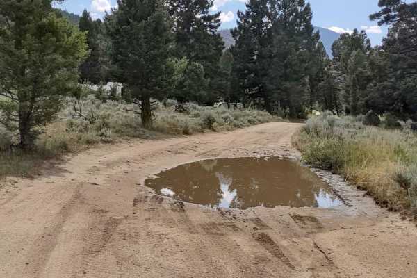
Puddle Splasher
This 2.4-mile trail takes only 15-20 minutes to complete. In late July there were multiple puddles to cross, so there is probably water in this area routinely. It's an excellent route to work your way south towards Whitehall without having to go down the dirt road (399). From Boulder, MT, go sout...
Learn more about Puddle Splasher
North Whitetail Road Spur
This spur explores a portion of the Deerlodge National Forest west of North Whitetail Road. From Boulder, MT, take Highway 69 south towards Whitehall. Turn right on North Whitetail Road. You can stage in some of the wide turnout areas on the road, or at the top in the sagebrush flats. From North Whi...
Learn more about North Whitetail Road Spur
Comet/Mount Thompson Loop
This 3-mile track loops off of the Wickes Tunnel: Basin to Corbin Trail on the Comet/Mount Thompson Trail, and then comes back to Wickes Tunnel: Basin to Corbin Trail on Mount Thompson Spur. You're in the Deerlodge National Forest at an elevation of approximately 7150 feet. There is some downed tim...
Learn more about Comet/Mount Thompson Loop
Wickes Road
Wickes Road Trail is an alternate way to go from Basin to Corbin, and you go up over the top of the mountain. The highest elevation is just under 6800 feet, but if the tunnel is full of snow or water, ice, or for some other reason impassable, this is a good option. It's just over 3 miles. The views ...
Learn more about Wickes Road
Sunnyside Road
This short Forest Service logging road is easily accessible from the Interstate access road in Basin, Montana. It’s an easy, pleasant drive up into the hills and provides opportunities for side trips and exploration of some difficult routes. The road climbs up over a ridgeline and ends in a valley. ...
Learn more about Sunnyside Road
Skyline Mine Trail
An easy trail with gorgeous views and an old mine to explore at the top. This trail gets very narrow, with potential for pinstriping on vehicles that pass through, but the gorgeous views at the top and the mine are worth it. There are a handful of very easy water crossings that are hardly a foot dee...
Learn more about Skyline Mine Trail
High Mountain Meadows
This is an easy 4-mile trail at just over 6,000 feet, crossing high mountain meadows and forests. A 75-inch SXS fits easily. It's beautiful scenery with lots of potential for wildlife. This trail loops back to the left branch of the Bigfoot Creek to Hay Creek Trail. There are great areas for tent ca...
Learn more about High Mountain Meadows
ATV trails near Boulder, Montana
Explore ATV-friendly trails near you. These trails are accessible for vehicles up to 50 inches wide, perfect for ATVs and smaller off-road machines.
McCarty Creek Trail
McCarty Creek Trail is a moderately challenging, 10.5-mile county road ideal for intermediate off-roaders seeking scenic climbs and engaging obstacles in the Helena National Forest. Beginning near the historic town of Boulder, Montana, this route quickly transitions from flat valley roads into a rug...
Learn more about McCarty Creek Trail
Little Boulder River Rd
This is a great little out-and-back trail that starts out fairly easy with some loose rocks and tight pinches. It gets harder half way through, when the trail gets steeper up a very loose and tight section. Body damage possible for wide vehicles. This trail travels through some dense forest with sev...
Learn more about Little Boulder River Rd
Boulder to Toston via Black Sage Pass
For those who like to take the road less traveled, this back road trek will take you between the small Montana towns of Boulder and Toston. Traversing Jefferson and Broadwater counties this route takes about 2-3 times as long as taking the highways north to Helena or south to Cardwell. In between yo...
Learn more about Boulder to Toston via Black Sage Pass
Bigfoot Creek to Hay Creek
Running just east of Montana's State Route 399 / Whitetail Road, you'll find this trail meandering through the eastern slopes of Deer Lodge National Forest. Outstanding views, a few obstacles and trails just wide enough to squeeze a full-size truck through. About 4.75 miles in, as you head south fro...
Learn more about Bigfoot Creek to Hay Creek
UTV/side-by-side trails near Boulder, Montana
Find UTV and side-by-side trails near you. These trails accommodate vehicles up to 60 inches wide, ideal for UTVs, side-by-sides, and wider off-road rigs.
Boulder to Toston via Black Sage Pass
For those who like to take the road less traveled, this back road trek will take you between the small Montana towns of Boulder and Toston. Traversing Jefferson and Broadwater counties this route takes about 2-3 times as long as taking the highways north to Helena or south to Cardwell. In between yo...
Learn more about Boulder to Toston via Black Sage Pass
Bigfoot Creek to Hay Creek
Running just east of Montana's State Route 399 / Whitetail Road, you'll find this trail meandering through the eastern slopes of Deer Lodge National Forest. Outstanding views, a few obstacles and trails just wide enough to squeeze a full-size truck through. About 4.75 miles in, as you head south fro...
Learn more about Bigfoot Creek to Hay Creek
Enterprise North Road
This is a short trail, just over 1.5 miles long, but it can be used to access other trails. It has some great views overlooking the town of Boulder, Montana, and there's one really good remote camping spot with room for up to 6 rigs, a fire ring, and a great view. This is also a great access point f...
Learn more about Enterprise North Road
North Beaver Creek
This short but fun trail goes over a ridge top to connect two different areas. It starts with an easy creek crossing immediately if going West to East, and there are two easy creek crossings in total. This trail has a lot of ruts and erosion, with one rock obstacle that would be tight with an entire...
Learn more about North Beaver Creek
The onX Offroad Difference
onX Offroad combines trail photos, descriptions, difficulty ratings, width restrictions, seasonality, and more in a user-friendly interface. Available on all devices, with offline access and full compatibility with CarPlay and Android Auto. Discover what you're missing today!
Open Trail Map