
Dirt Bike Trails
Near Basin, Montana
Explore All Dirt Bike Trails Near Basin, Montana
Dirt Bike Trails Near Basin, Montana
Discover the best dirt bike trails near you. Browse trail maps, check difficulty ratings, and find your next adventure — whether you're looking for a quick ride or an all-day expedition.
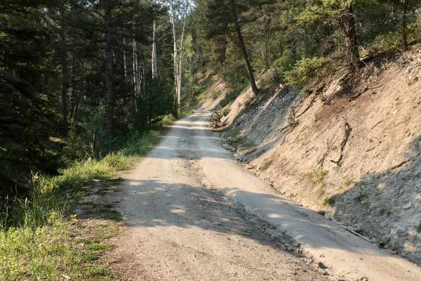
Sunnyside Road
This short Forest Service logging road is easily accessible from the Interstate access road in Basin, Montana. It’s an easy, pleasant drive up into the hills and provides opportunities for side trips and exploration of some difficult routes. The road climbs up over a ridgeline and ends in a valley. ...
Learn more about Sunnyside Road
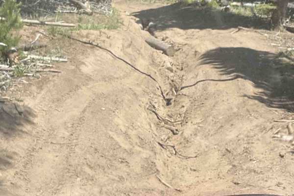
The Good, the Bad and the Ugly
The Good, the Bad and the Ugly is a challenging 5.5-mile off-road trail near Boulder, Montana, designed for experienced drivers seeking a technical mountain climb with rewarding ridge views. Starting at an elevation of 5,794 feet and topping out near Sullivan Mountain at 7,592 feet, this route featu...
Learn more about The Good, the Bad and the Ugly
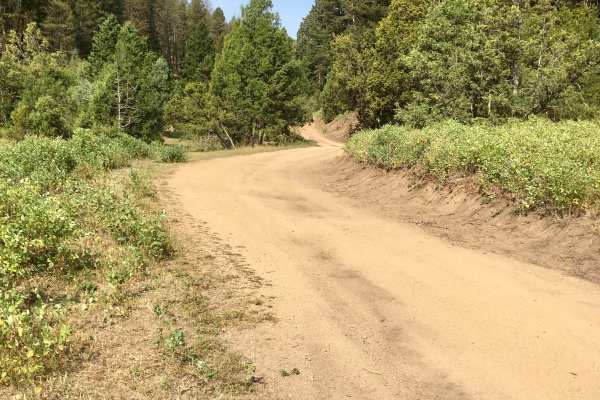
North Fork Road
This 6.2 mile road connects the Upper Galena area to the Little Boulder road via a gentle downhill (or uphill if you are coming from Boulder) grade to the Little Boulder Road. It is a beautiful trip through dense stands of Douglas Fir trees, becoming intermixed with stands of aspen and a few cedars ...
Learn more about North Fork Road
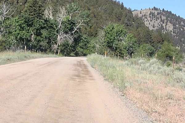
Cattle Drive to Bear Gulch
Cattle Drive to Bear Gulch is a scenic 12-mile offroad trail near Boulder, Montana, that offers a moderate, family-friendly climb from the Boulder River valley into the high elevations of the Deerlodge National Forest. Ideal for four-wheel-drive vehicles, SxSs, and dirt bikes, this route provides st...
Learn more about Cattle Drive to Bear Gulch
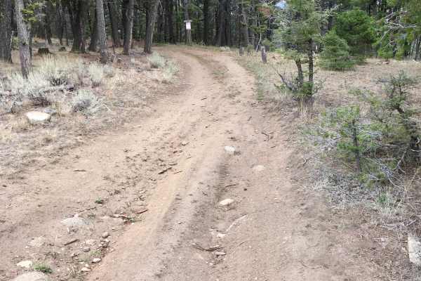
Little Galena Trail
Beginning from the North Fork Trail, the first two miles of this trail are a pleasant, sceni,c and solitary experience, and the tread is designated and suitable for small 4x4s, 60” SxSs, ATVs, and dirt bikes. At the FS/BLM boundary, however, the trail quickly deteriorates and the trail offers the fu...
Learn more about Little Galena Trail
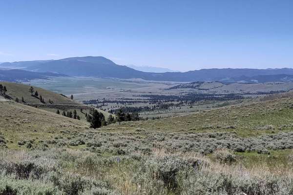
Comet/Mount Thompson Loop
This 3-mile track loops off of the Wickes Tunnel: Basin to Corbin Trail on the Comet/Mount Thompson Trail, and then comes back to Wickes Tunnel: Basin to Corbin Trail on Mount Thompson Spur. You're in the Deerlodge National Forest at an elevation of approximately 7150 feet. There is some downed tim...
Learn more about Comet/Mount Thompson Loop
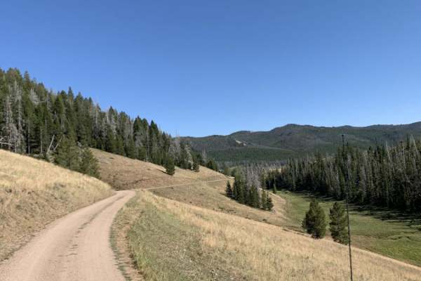
Champion Pass
Champion Pass is a scenic 25.4-mile point-to-point route that offers four-wheel-drive vehicles and SxSs an engaging trek over the Continental Divide between Interstate 90 and Interstate 15. The trail stands out for its transition from wide, sweeping valley views to tight, technical forest canopy nav...
Learn more about Champion Pass
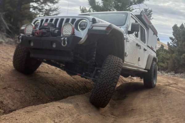
Enterprise North Road
This is a short trail, just over 1.5 miles long, but it can be used to access other trails. It has some great views overlooking the town of Boulder, Montana, and there's one really good remote camping spot with room for up to 6 rigs, a fire ring, and a great view. This is also a great access point f...
Learn more about Enterprise North Road
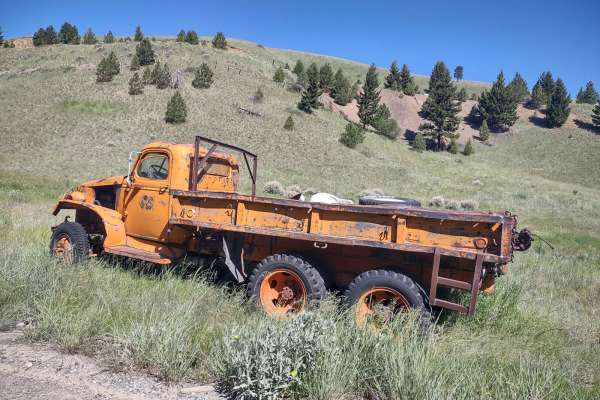
Wickes Road
Wickes Road is an excellent scenic mountain bypass for four-wheel-drive vehicles, SxSs, and dirt bikes looking to traverse between the historic mining towns of Basin and Corbin, Montana, while enjoying sweeping high-altitude views. Spanning approximately 3 miles, this trail climbs up and over the mo...
Learn more about Wickes Road
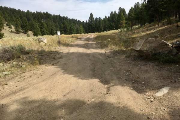
North Fork Trail
This is a 4.4-mile trail designated for use by small 4x4, 60” SxS, ATVs, and dirt bikes. This route includes FS 8694 and FS 8582. The trail travels through stunning stands of Douglas Fir and provides interesting views of granitic rock formations. The tread itself is quite narrow in some places, a...
Learn more about North Fork Trail
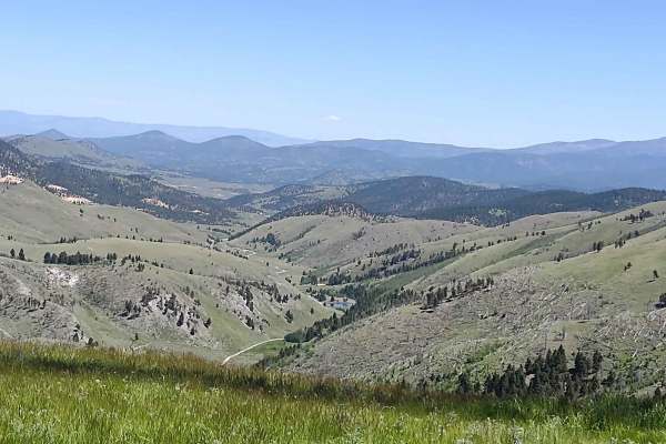
Clancy Creek Road
Clancy Creek Road takes you from Mina Gulch/Between Gulch west a little further into the Helena National Forest. If you follow it further than our track, you pass the Crawley Camp Mine and get an overlook of the lake at Montana Tunnels Mining. All private property crossings are allowed if you stay o...
Learn more about Clancy Creek Road
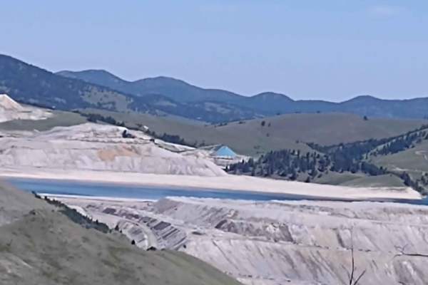
Mina Gulch Spur
This Mina Gulch Spur takes you from the Bluebird Mine Loop past the Mina Mine and to an overlook of the lake on Montana Tunnels Mining. It's just under a mile, and your elevation is about 6600 feet. All private property crossings are allowed if you stay on the trail. The scenery is beautiful. The vi...
Learn more about Mina Gulch Spur
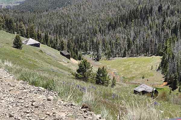
Bluebird Mine Trail Loop
This 2-mile loop connects the Bluebird Mine Trail to Between Gulch Trail and Flynn Gulch Road. It travels through the Helena National Forest at an average elevation of 6500 feet. All private property crossings are allowed if you stay on the trail. The scenery is beautiful. The views are amazing. Th...
Learn more about Bluebird Mine Trail Loop
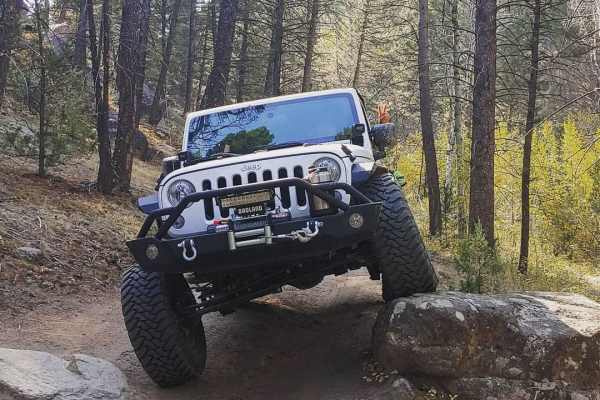
McCarty Creek Trail
McCarty Creek Trail is a moderately challenging, 10.5-mile county road ideal for intermediate off-roaders seeking scenic climbs and engaging obstacles in the Helena National Forest. Beginning near the historic town of Boulder, Montana, this route quickly transitions from flat valley roads into a rug...
Learn more about McCarty Creek Trail
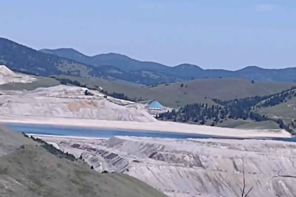
Bluebird Mine Road
This 1.68-mile trail takes you from Bluebird Mine Loop to Wood Chute Cr to Bluebird Mine Trail. All private property crossings are allowed if you stay on the trail. The scenery is beautiful. The views are amazing. This forest is home to deer, elk, and bears. If you are here in the early springtime, ...
Learn more about Bluebird Mine Road
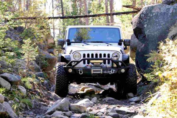
Little Boulder River Rd
This is a great little out-and-back trail that starts out fairly easy with some loose rocks and tight pinches. It gets harder half way through, when the trail gets steeper up a very loose and tight section. Body damage possible for wide vehicles. This trail travels through some dense forest with sev...
Learn more about Little Boulder River Rd
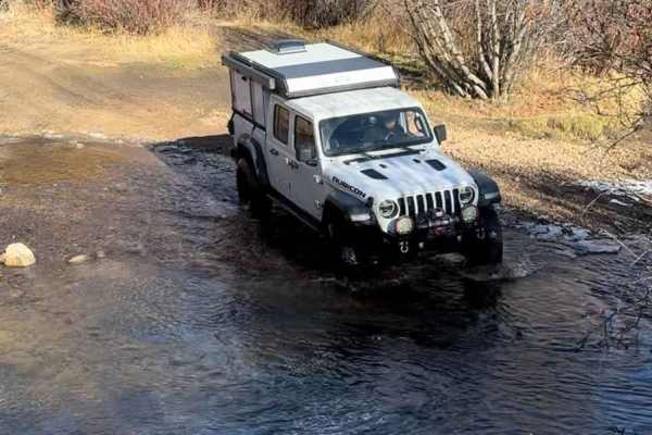
North Beaver Creek
This short but fun trail goes over a ridge top to connect two different areas. It starts with an easy creek crossing immediately if going West to East, and there are two easy creek crossings in total. This trail has a lot of ruts and erosion, with one rock obstacle that would be tight with an entire...
Learn more about North Beaver Creek
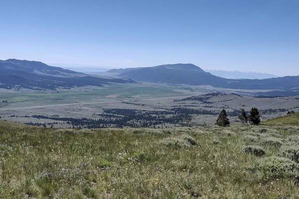
Wood Chute to Blue Bird Mine
Wood Chute to Blue Bird Mine is a scenic and moderately challenging seven-mile trail near Wickes, Montana, perfect for four-wheel-drive vehicles, OHVs, and SxSs looking to explore historic mining country while tackling fun elevation changes. Starting near the historic Wickes Tunnel, this route climb...
Learn more about Wood Chute to Blue Bird Mine
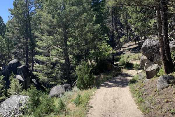
Bigfoot Creek to Hay Creek
Bigfoot Creek to Hay Creek is an 18.6-mile point-to-point trail through the eastern slopes of Deer Lodge National Forest that offers scenic mountain views and a mild technical challenge for four-wheel-drive vehicles and SxSs. Running just east of Whitetail Road (State Route 399) near Boulder, Montan...
Learn more about Bigfoot Creek to Hay Creek
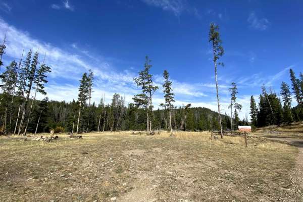
Rock Creek/Leadville
This is a fun offroading trail in the summer, spring, and fall, and it reopens after hunting season in the winter. It does get a significant amount of snow during the winter months. In the spring, there is one water crossing that can be up to three feet deep during the spring melt/runoff season. The...
Learn more about Rock Creek/Leadville
ATV trails near Basin, Montana
Explore ATV-friendly trails near you. These trails are accessible for vehicles up to 50 inches wide, perfect for ATVs and smaller off-road machines.
Sunnyside Road
This short Forest Service logging road is easily accessible from the Interstate access road in Basin, Montana. It’s an easy, pleasant drive up into the hills and provides opportunities for side trips and exploration of some difficult routes. The road climbs up over a ridgeline and ends in a valley. ...
Learn more about Sunnyside Road
The Good, the Bad and the Ugly
The Good, the Bad and the Ugly is a challenging 5.5-mile off-road trail near Boulder, Montana, designed for experienced drivers seeking a technical mountain climb with rewarding ridge views. Starting at an elevation of 5,794 feet and topping out near Sullivan Mountain at 7,592 feet, this route featu...
Learn more about The Good, the Bad and the Ugly
North Fork Road
This 6.2 mile road connects the Upper Galena area to the Little Boulder road via a gentle downhill (or uphill if you are coming from Boulder) grade to the Little Boulder Road. It is a beautiful trip through dense stands of Douglas Fir trees, becoming intermixed with stands of aspen and a few cedars ...
Learn more about North Fork Road
Cattle Drive to Bear Gulch
Cattle Drive to Bear Gulch is a scenic 12-mile offroad trail near Boulder, Montana, that offers a moderate, family-friendly climb from the Boulder River valley into the high elevations of the Deerlodge National Forest. Ideal for four-wheel-drive vehicles, SxSs, and dirt bikes, this route provides st...
Learn more about Cattle Drive to Bear Gulch
UTV/side-by-side trails near Basin, Montana
Find UTV and side-by-side trails near you. These trails accommodate vehicles up to 60 inches wide, ideal for UTVs, side-by-sides, and wider off-road rigs.
Sunnyside Road
This short Forest Service logging road is easily accessible from the Interstate access road in Basin, Montana. It’s an easy, pleasant drive up into the hills and provides opportunities for side trips and exploration of some difficult routes. The road climbs up over a ridgeline and ends in a valley. ...
Learn more about Sunnyside Road
The Good, the Bad and the Ugly
The Good, the Bad and the Ugly is a challenging 5.5-mile off-road trail near Boulder, Montana, designed for experienced drivers seeking a technical mountain climb with rewarding ridge views. Starting at an elevation of 5,794 feet and topping out near Sullivan Mountain at 7,592 feet, this route featu...
Learn more about The Good, the Bad and the Ugly
North Fork Road
This 6.2 mile road connects the Upper Galena area to the Little Boulder road via a gentle downhill (or uphill if you are coming from Boulder) grade to the Little Boulder Road. It is a beautiful trip through dense stands of Douglas Fir trees, becoming intermixed with stands of aspen and a few cedars ...
Learn more about North Fork Road
Cattle Drive to Bear Gulch
Cattle Drive to Bear Gulch is a scenic 12-mile offroad trail near Boulder, Montana, that offers a moderate, family-friendly climb from the Boulder River valley into the high elevations of the Deerlodge National Forest. Ideal for four-wheel-drive vehicles, SxSs, and dirt bikes, this route provides st...
Learn more about Cattle Drive to Bear Gulch
The onX Offroad Difference
onX Offroad combines trail photos, descriptions, difficulty ratings, width restrictions, seasonality, and more in a user-friendly interface. Available on all devices, with offline access and full compatibility with CarPlay and Android Auto. Discover what you're missing today!
Open Trail Map