
Dirt Bike Trails
Near Booneville, Mississippi
Explore All Dirt Bike Trails Near Booneville, Mississippi
Dirt Bike Trails Near Booneville, Mississippi
Discover the best dirt bike trails near you. Browse trail maps, check difficulty ratings, and find your next adventure — whether you're looking for a quick ride or an all-day expedition.
WaterFall Alley
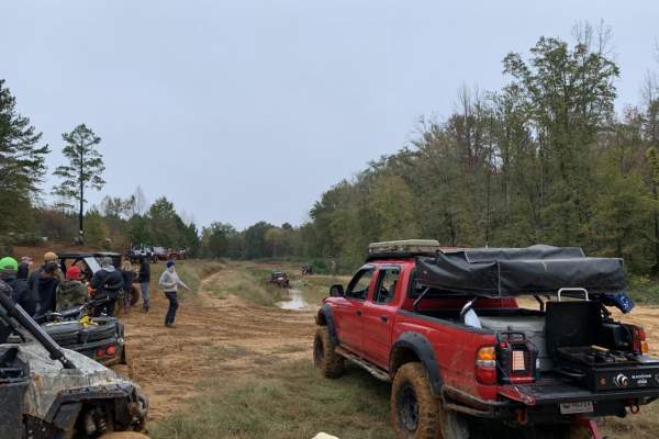
WaterFall Alley is an exciting off-road loop designed for riders looking to test their skills against slick elevation changes and muddy terrain within the Barnyard Mud Boggers (BMB) off-road park. Located in Fulton, Mississippi, along the Tombigbee River, this park spans over 700 acres of prime mud-...
Learn more about WaterFall Alley
The Gutter
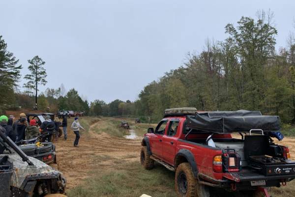
The Gutter is a 1.3-mile off-road loop within the Barnyard Mud Boggers (BMB) Offroad Park near Fulton, Mississippi. Serving as an introduction to the 700-acre park, the trail winds through a dense hardwood forest with mild elevation changes between 290 and 402 feet, connecting with various other tra...
Learn more about The Gutter

Road 105
Road 105 is an ideal scenic route for novice off-roaders and those seeking a low-stress dirt road drive through the dense forests of northwest Alabama near Pickwick Lake. The route provides a perfect training ground for inexperienced drivers to build confidence behind the wheel while navigating a mo...
Learn more about Road 105
Pebble Beach
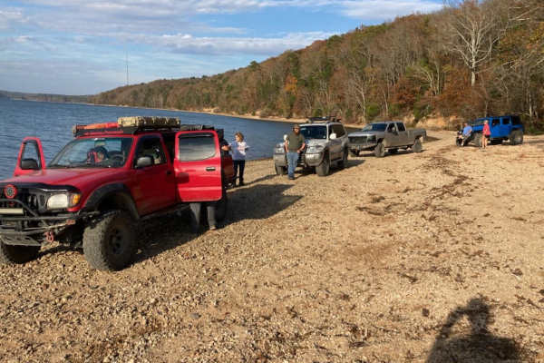
Pebble Beach is an exciting, moderately challenging trail perfect for drivers of capable four-wheel-drive vehicles and SxSs looking to test their skills and rigs on a mix of rugged terrain and water obstacles. Spanning approximately 6.2 miles, this route begins with a technical, high-clearance secti...
Learn more about Pebble Beach
Austin Hollow
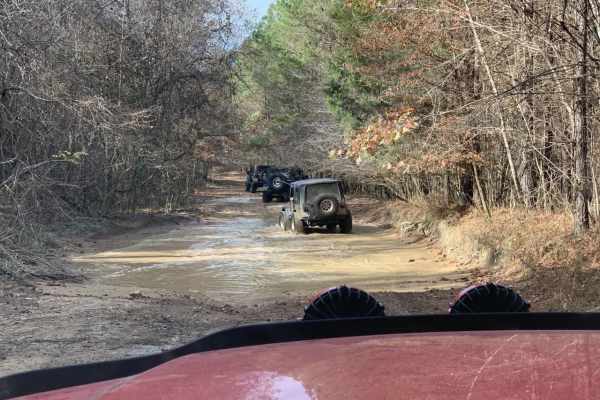
Austin Hollow is an exciting, short spur trail designed for intermediate offroaders looking to test their vehicles against wet, muddy terrain on their way to a beautiful waterfall. Branching off Hitchcock Lane near the Rainbow Falls Loop, this route spans just over a half-mile and descends roughly 4...
Learn more about Austin Hollow

Rainbow Falls Loop
Rainbow Falls Loop is a moderately challenging, 6.9-mile off-road trail in northwest Alabama's Lauderdale Wildlife Management Area. The route starts with approximately one mile of maintained gravel road before transitioning to rugged dirt paths with deep ruts, mud, and seasonal water pooling.
The t...
Learn more about Rainbow Falls Loop
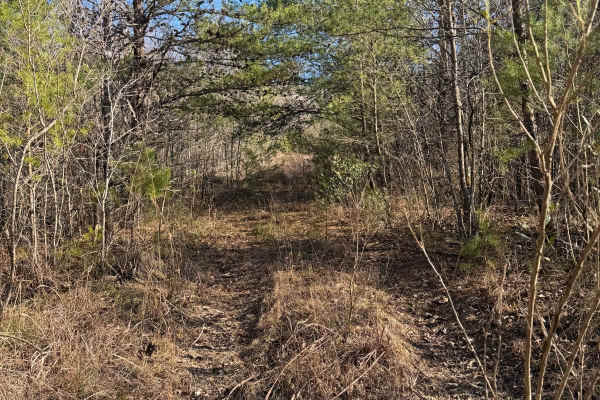
#106 The Bush
This trail is a connector trail in between trails #91 and #92. The entrance of this trail tends to be hard to find due to the entrance being overgrown. There is no room to pass on this trail. There are lots of low branches on this trail that could scratch your paint.
Learn more about #106 The Bush
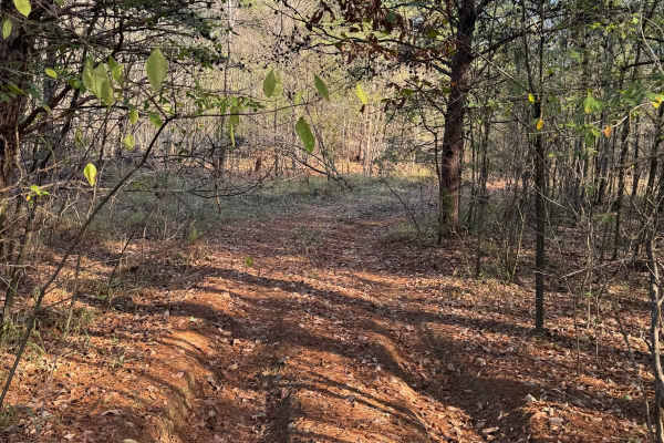
#61 Bridge Street
Bridge Street Is a short connector trail in between trails #91 and #92, it is mostly flat and wooded with dirt and pine straw covering the ground. This trail is infrequently used so it can sometimes be grown up and rutted out. The trail itself does not have any major obstacles on it.
Learn more about #61 Bridge Street
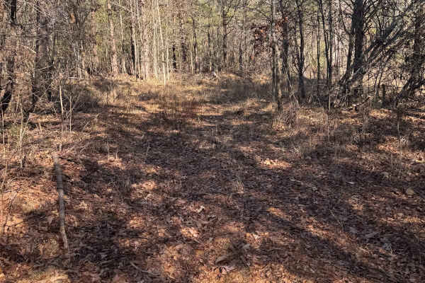
#60 Opryland Mills
This short trail connects trails #92 and #91. It is lightly used, leading to overgrowth and limited visibility. The trees are tight on both sides, leaving no room for passing. Due to its brief length, it can be completed quickly, however, you will need careful navigation to not get scratches.
Learn more about #60 Opryland Mills
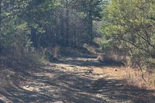
#93 Upper Access
This trail connects #90 to #94 It is a fairly easy trail with no major obstacles. There is a part that branches off and is not on the main trail of #93, which doesn't get much traffic and has become very rutted out and sketchy. It has a boulder around 3 feet and is on a very steep incline, almost be...
Learn more about #93 Upper Access
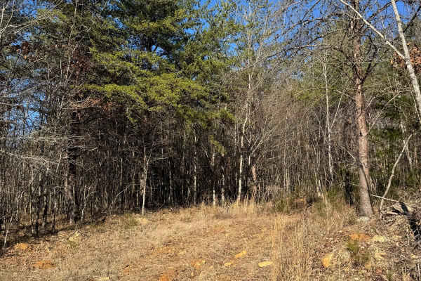
#59 Belt Line
This trail is a very short connector between trails #92 and #91. This trail can be very muddy if it rains and has no major obstacles. Very rarely is there traffic on this trail, so it has become overgrown over time. The trail is also in a very flat part of the park.
Learn more about #59 Belt Line
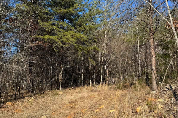
#59 BeltLine
This is a short connector between trails #92 and #91. Low traffic has led to overgrowth, making the trail narrow and enclosed. Dense trees on both sides prevent any passing. Despite the tight conditions, the trail is quick to finish and serves as a direct link between the two routes.
Learn more about #59 BeltLine
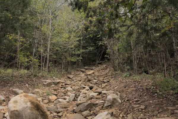
#56 Ol' No. 21
Trail #56 – Ol' No. 21 branches off Trail #57 and connects to Trail #92 (Middle Access). It’s a very short but challenging route featuring numerous large rocks and boulders. Most obstacles are under 30 inches tall, but one particularly tricky section puts vehicles at a steep off-camber angle, creati...
Learn more about #56 Ol' No. 21
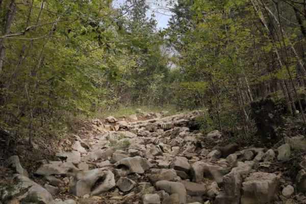
#57 Ol' No. 22
Trail #57 (Ol' No. 22) is a short, rocky technical trail that connects trails #91(Cane Creek) to #92 (Middle Access). The trail starts off with some moderate rocks and ledges that continue throughout; however, as you get towards the end, the trail gets very narrow and overgrown. Expect to get scratc...
Learn more about #57 Ol' No. 22

#51 The Passageway
This trail parallels another trail just a few feet next to it so make sure to stay on the north side of these two trails. This trail connects trails #92 and trail #93 and is very short; you can almost see the end of the trail from the start.
Learn more about #51 The Passageway
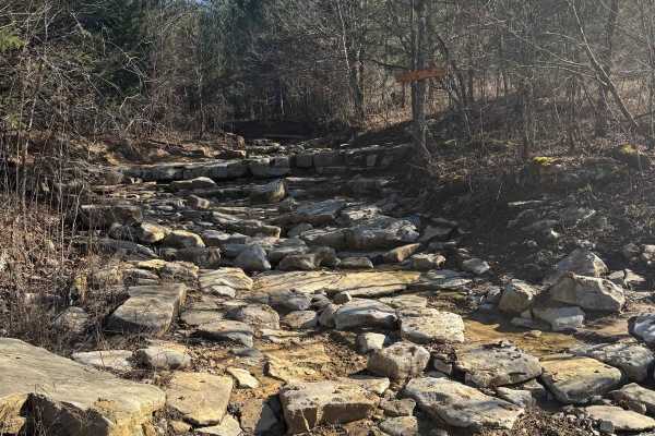
#55 Waterfall
This trail connects trails #91 and #92. There are two exits on it if you want to exit early. These exits will dump you out on trail #93, which parallels the waterfall and is much easier. It is common for riders who do not want to attempt the trail to park on trail #93 and spectate. There is no room ...
Learn more about #55 Waterfall

#52 Chicken Trail
This trail is a short connector trail between trails # 93 and #92. This trail is not a highly trafficked one, so it can become overgrown. It is a very short trail that should not take much time to ride. There are no places to pass once you start the trail, so make sure there is no one coming the ot...
Learn more about #52 Chicken Trail

#53 Top Heavy
This trial is a short connector trail between trails # 93 and #92. The top of this trail has two ways to go out, with one being a bypass to the main obstacle. If you start the trail at the top, a rock ledge can sneak up on you, so make sure you scout out which way is best for your rig.
Learn more about #53 Top Heavy

#54 Ol' No.54
This trail is a short connector trail between trails #93 and #92. It is the first connector trail if you are riding #93 from the north. There are two different routes at the top of the trail, each with similar difficulty and the same endpoint. This trail is wide enough to pass, but it is very rocky,...
Learn more about #54 Ol' No.54

#47 Curb Rash
Trail #47, Curb Rash, is a rugged dirt track characterized by extensive washouts and medium ruts. These features run the length of the trail, creating a slightly challenging route. While most 4x4 vehicles can handle the terrain, drivers should anticipate a bumpy and potentially difficult journey, pa...
Learn more about #47 Curb Rash
ATV trails near Booneville, Mississippi
Explore ATV-friendly trails near you. These trails are accessible for vehicles up to 50 inches wide, perfect for ATVs and smaller off-road machines.
WaterFall Alley
WaterFall Alley is an exciting off-road loop designed for riders looking to test their skills against slick elevation changes and muddy terrain within the Barnyard Mud Boggers (BMB) off-road park. Located in Fulton, Mississippi, along the Tombigbee River, this park spans over 700 acres of prime mud-...
Learn more about WaterFall Alley
The Gutter
The Gutter is a 1.3-mile off-road loop within the Barnyard Mud Boggers (BMB) Offroad Park near Fulton, Mississippi. Serving as an introduction to the 700-acre park, the trail winds through a dense hardwood forest with mild elevation changes between 290 and 402 feet, connecting with various other tra...
Learn more about The Gutter
Road 105
Road 105 is an ideal scenic route for novice off-roaders and those seeking a low-stress dirt road drive through the dense forests of northwest Alabama near Pickwick Lake. The route provides a perfect training ground for inexperienced drivers to build confidence behind the wheel while navigating a mo...
Learn more about Road 105
Pebble Beach
Pebble Beach is an exciting, moderately challenging trail perfect for drivers of capable four-wheel-drive vehicles and SxSs looking to test their skills and rigs on a mix of rugged terrain and water obstacles. Spanning approximately 6.2 miles, this route begins with a technical, high-clearance secti...
Learn more about Pebble Beach
UTV/side-by-side trails near Booneville, Mississippi
Find UTV and side-by-side trails near you. These trails accommodate vehicles up to 60 inches wide, ideal for UTVs, side-by-sides, and wider off-road rigs.
#106 The Bush
This trail is a connector trail in between trails #91 and #92. The entrance of this trail tends to be hard to find due to the entrance being overgrown. There is no room to pass on this trail. There are lots of low branches on this trail that could scratch your paint.
Learn more about #106 The Bush
#61 Bridge Street
Bridge Street Is a short connector trail in between trails #91 and #92, it is mostly flat and wooded with dirt and pine straw covering the ground. This trail is infrequently used so it can sometimes be grown up and rutted out. The trail itself does not have any major obstacles on it.
Learn more about #61 Bridge Street
#60 Opryland Mills
This short trail connects trails #92 and #91. It is lightly used, leading to overgrowth and limited visibility. The trees are tight on both sides, leaving no room for passing. Due to its brief length, it can be completed quickly, however, you will need careful navigation to not get scratches.
Learn more about #60 Opryland Mills
#93 Upper Access
This trail connects #90 to #94 It is a fairly easy trail with no major obstacles. There is a part that branches off and is not on the main trail of #93, which doesn't get much traffic and has become very rutted out and sketchy. It has a boulder around 3 feet and is on a very steep incline, almost be...
Learn more about #93 Upper Access
The onX Offroad Difference
onX Offroad combines trail photos, descriptions, difficulty ratings, width restrictions, seasonality, and more in a user-friendly interface. Available on all devices, with offline access and full compatibility with CarPlay and Android Auto. Discover what you're missing today!
Open Trail Map