
Dirt Bike Trails
Near Boles, Arkansas
Explore All Dirt Bike Trails Near Boles, Arkansas
Dirt Bike Trails Near Boles, Arkansas
Discover the best dirt bike trails near you. Browse trail maps, check difficulty ratings, and find your next adventure — whether you're looking for a quick ride or an all-day expedition.
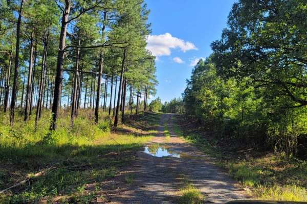
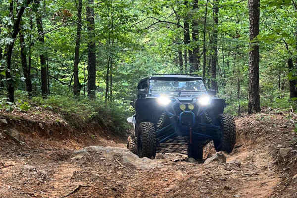
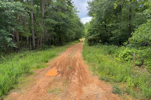
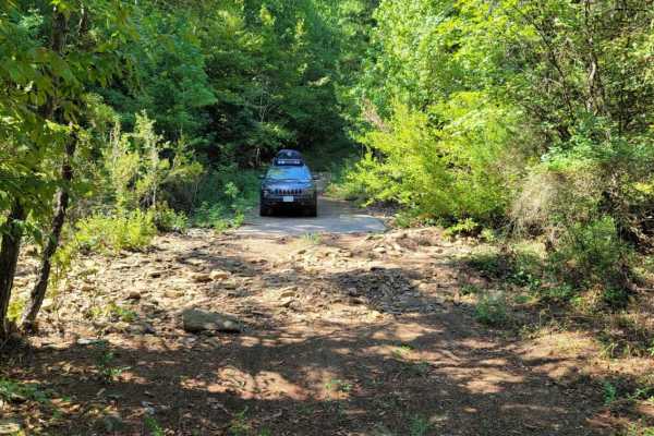
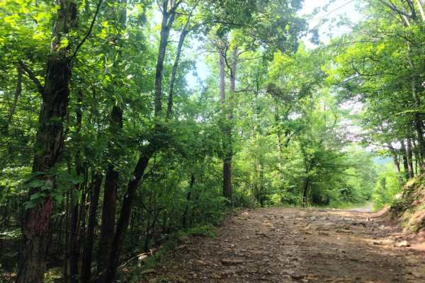
Fox Pen West
This track starts on the west side of the Ouachita National Forest off Highway 71. It will take you east into the forest and to a pond and dispersed campsite. This section of forest is not traveled as much as some of the more popular sections. Undergrowth is heavy in places and vehicle scratches are...
Learn more about Fox Pen West
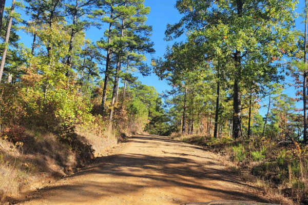
Dutch Mountain
This track continues east into the Ouachita National Forest from Highway 71. It will take you further east into the forest. This section of forest is not traveled as much as some of the more popular sections. Undergrowth is heavy in places and vehicle scratches are possible. This gravel road is two...
Learn more about Dutch Mountain
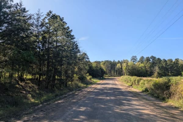
Buffalo Leaves the Forest
This gravel forest road starts at a fork at Buffalo Road and ends at Highway 71. The views in this part of the Ouachita National Forest are awesome. There are dispersed campsites along this trail. Mountain and valley views make for a beautiful drive. Some small stream crossings are present. This for...
Learn more about Buffalo Leaves the Forest
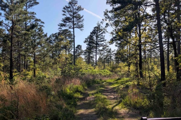
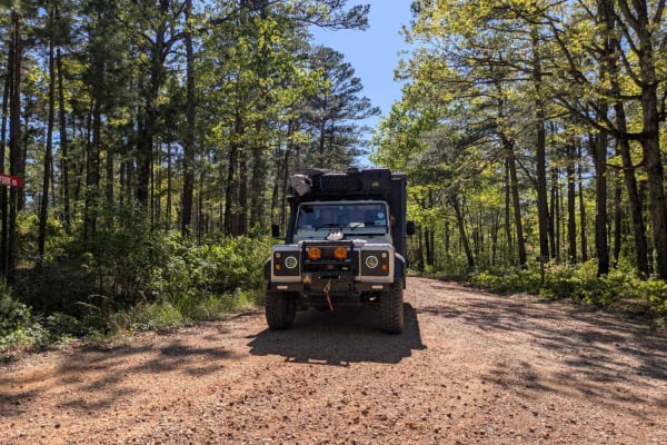
Fourche Mountain Outer Loop
Fourche Mountain Outer Loop is a versatile backcountry route suited for riders looking for a longer, scenic loop with a mix of easy cruising and occasional moderate challenges. Set within the Fourche Mountain Trail System in the Ouachita National Forest, this trail follows a native surface of packed...
Learn more about Fourche Mountain Outer Loop
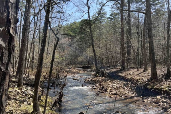
Turner Creek East
Coming from the west, dropping in off Fourche Mountain outer loop, this trail follows alongside Turner Creek for the first mile. It has very little elevation change until you reach the 2-mile mark, when it starts to climb over a few rock ledges and shallow washes before joining back in with the Four...
Learn more about Turner Creek East
Buck Knob
This out-and-back route provides a rocky climb through the Ouachita National Forest as it works its way toward a communications tower. Drivers will encounter loose rock, embedded stone, exposed bedrock, and several areas affected by water erosion. The trail surface is rough for much of the route, cr...
Learn more about Buck Knob
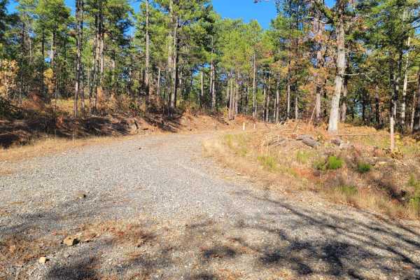
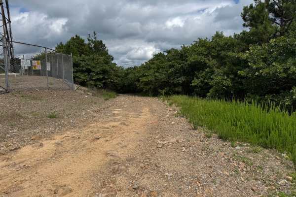
County Road 70
This route follows a maintained gravel road through a heavily wooded section of the Ouachita National Forest. The drive is generally smooth and suitable for most high-clearance vehicles, with gentle elevation changes and several creek crossings utilizing one-lane bridges. While most of the road is w...
Learn more about County Road 70
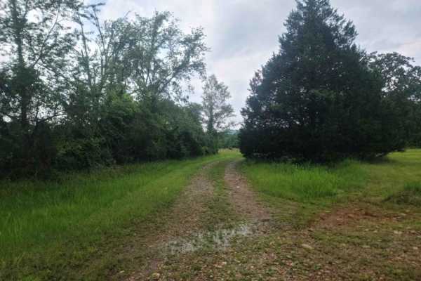
Denton Creek Road
This trail offers a scenic and winding route through a lush, green forest, particularly vibrant after seasonal rains. It crosses several streams and features numerous offshoots that may lead to potential dispersed camping areas. The road surface is generally smooth and well-maintained, but the trail...
Learn more about Denton Creek Road
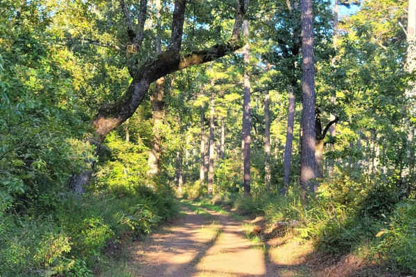
Vine
This narrow out-and-back route travels through dense forest on a lightly maintained sandy road. Vegetation frequently encroaches onto the trail, creating a high likelihood of paint scratches and pinstriping. The route follows a mostly firm sandy surface with occasional puddles and shallow ruts but n...
Learn more about Vine
Dispersed on Boles
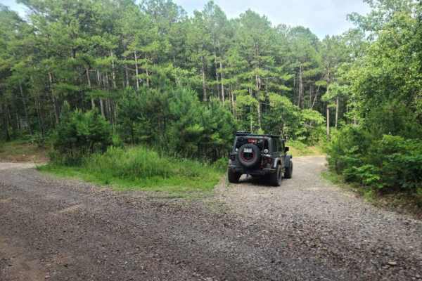
This gravel forest road passes several dispersed campsites. Some dispersed campsites are large with room for several vehicles. The gravel road is well-driven and can have rough spots along the way. If the road is wet it can be messy. Beautiful views of streams and nature are present. Wildlife could...
Learn more about Dispersed on Boles
Henry Mountain Road
This trail is divided into two contrasting sections. The first half is a smooth and well-maintained gravel road with numerous side tracks that may lead to dispersed campsites, making for an easy and enjoyable drive. Around the midpoint, travelers will notice a tall tree set back from the trail with ...
Learn more about Henry Mountain Road
Eagle Gap Road
This trail is a relatively wide gravel route that can be rough in sections due to potholes and exposed rocks, the result of frequent rainfall and regular use by local landowners. It crosses several shallow streams and offers a scenic drive through forested terrain, eventually connecting to or from t...
Learn more about Eagle Gap Road
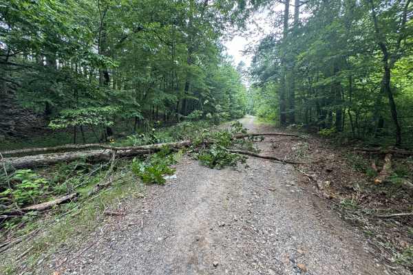
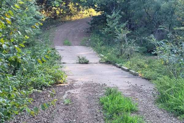
Bridge Stops Here
This section of forest is not traveled as much as some of the more popular sections. Undergrowth is heavy in places and vehicle scratches are possible. This track has awesome views and a hilltop dispersed camping area is possible. The track ends just past a bridge that has been washed over with a 16...
Learn more about Bridge Stops Here
Cumberland Road
This track continues from the west side of the Ouachita National Forest off Highway 71. It will take you east further into the forest. This section of forest is not traveled as much as some of the more popular sections. Undergrowth is heavy in places and vehicle scratches are possible. This gravel ...
Learn more about Cumberland Road
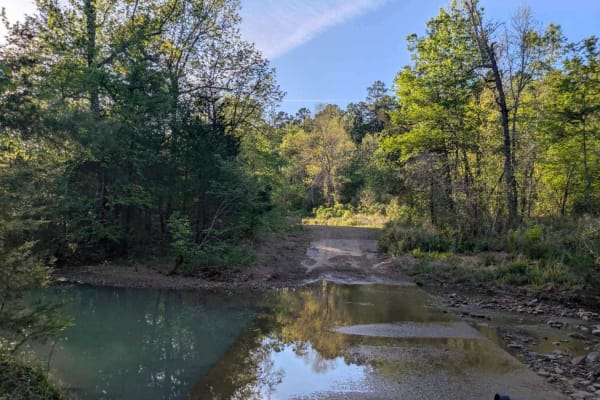
Pitfork Road
This trail offers a scenic and winding drive along a gravel road that cuts through forested terrain. Drivers will encounter a few submerged water crossings and small bridges along the way, adding to the sense of adventure. Numerous smaller trails branch off the main route, some of which may lead to ...
Learn more about Pitfork Road
Nesbitt Creek Spur - 498
This road is a dirt/gravel spur road that provides access to both private property and public land primarily for camping. The road is narrow in some locations and much more open in others. This road passes through a section of private property and a few cattle guards. No cattle were noted on the pro...
Learn more about Nesbitt Creek Spur - 498
Highland Route - 216
The highland road is locally known as "the jeep trail" when asked by new people, and is one of the more difficult roads in this part of the Ouachita Mountains. This route was created in the 30s by the CCC but is no longer maintained. The route seems to get more difficult by the month due to erosion,...
Learn more about Highland Route - 216
Posey Hollow 76
Posey Hollow 76 is a road that parallels the Ouachita National Recreation Trail. The road is an easy gravel windy road that climbs to an elevation of around 1900 feet. I even found one of my favorite camping spots in the ONF along this route. There is a beautiful creek next to a beautiful campsite. ...
Learn more about Posey Hollow 76
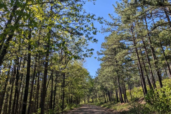
Little Brushy Road - 48
Little Brushy Road is an easy gravel and dirt drive through portions of the Oden Ranger District. It connects Posey Hollow Road to both Big Brushy Road and Highway 88, near the Oden Ranger Station. This road follows the path of Little Brushy Creek, which crosses the road at several points. The road ...
Learn more about Little Brushy Road - 48
Terrapin Creek Road
This trail is a smooth and well-maintained gravel road that offers a pleasant and easy drive through scenic forested terrain. It appears to receive little traffic, making for a quiet and enjoyable experience. Unlike many other routes in the region, this trail does not cross any streams, which contri...
Learn more about Terrapin Creek Road
ATV trails near Boles, Arkansas
Explore ATV-friendly trails near you. These trails are accessible for vehicles up to 50 inches wide, perfect for ATVs and smaller off-road machines.
Fox Pen West
This track starts on the west side of the Ouachita National Forest off Highway 71. It will take you east into the forest and to a pond and dispersed campsite. This section of forest is not traveled as much as some of the more popular sections. Undergrowth is heavy in places and vehicle scratches are...
Learn more about Fox Pen West
Dutch Mountain
This track continues east into the Ouachita National Forest from Highway 71. It will take you further east into the forest. This section of forest is not traveled as much as some of the more popular sections. Undergrowth is heavy in places and vehicle scratches are possible. This gravel road is two...
Learn more about Dutch Mountain
Buffalo Leaves the Forest
This gravel forest road starts at a fork at Buffalo Road and ends at Highway 71. The views in this part of the Ouachita National Forest are awesome. There are dispersed campsites along this trail. Mountain and valley views make for a beautiful drive. Some small stream crossings are present. This for...
Learn more about Buffalo Leaves the Forest
Fourche Mountain Outer Loop
Fourche Mountain Outer Loop is a versatile backcountry route suited for riders looking for a longer, scenic loop with a mix of easy cruising and occasional moderate challenges. Set within the Fourche Mountain Trail System in the Ouachita National Forest, this trail follows a native surface of packed...
Learn more about Fourche Mountain Outer Loop
UTV/side-by-side trails near Boles, Arkansas
Find UTV and side-by-side trails near you. These trails accommodate vehicles up to 60 inches wide, ideal for UTVs, side-by-sides, and wider off-road rigs.
Fox Pen West
This track starts on the west side of the Ouachita National Forest off Highway 71. It will take you east into the forest and to a pond and dispersed campsite. This section of forest is not traveled as much as some of the more popular sections. Undergrowth is heavy in places and vehicle scratches are...
Learn more about Fox Pen West
Dutch Mountain
This track continues east into the Ouachita National Forest from Highway 71. It will take you further east into the forest. This section of forest is not traveled as much as some of the more popular sections. Undergrowth is heavy in places and vehicle scratches are possible. This gravel road is two...
Learn more about Dutch Mountain
Buffalo Leaves the Forest
This gravel forest road starts at a fork at Buffalo Road and ends at Highway 71. The views in this part of the Ouachita National Forest are awesome. There are dispersed campsites along this trail. Mountain and valley views make for a beautiful drive. Some small stream crossings are present. This for...
Learn more about Buffalo Leaves the Forest
Fourche Mountain Outer Loop
Fourche Mountain Outer Loop is a versatile backcountry route suited for riders looking for a longer, scenic loop with a mix of easy cruising and occasional moderate challenges. Set within the Fourche Mountain Trail System in the Ouachita National Forest, this trail follows a native surface of packed...
Learn more about Fourche Mountain Outer Loop
The onX Offroad Difference
onX Offroad combines trail photos, descriptions, difficulty ratings, width restrictions, seasonality, and more in a user-friendly interface. Available on all devices, with offline access and full compatibility with CarPlay and Android Auto. Discover what you're missing today!
Open Trail Map