
Dirt Bike Trails
Near Bithlo, Florida
Explore All Dirt Bike Trails Near Bithlo, Florida
Dirt Bike Trails Near Bithlo, Florida
Discover the best dirt bike trails near you. Browse trail maps, check difficulty ratings, and find your next adventure — whether you're looking for a quick ride or an all-day expedition.
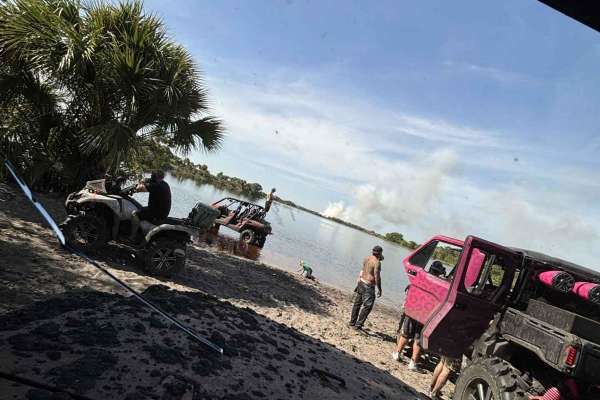
40 Acre Lake
This is a mild trail up until the beach area at the lake. If you choose not to turn around at that point, the trail gets narrower (about 60"). There are also several 2-3 foot deep mud holes, some 60-70 yards long. Don't attempt alone unless you have a winch and pre-determined winch points at every h...
Learn more about 40 Acre Lake
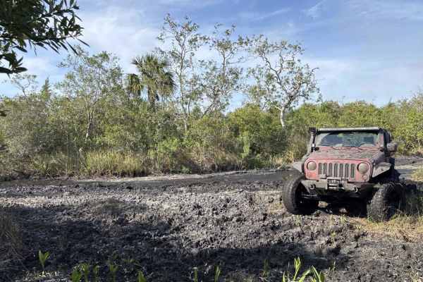
Swamp Pit
If you can make it to the end of this trail, you've accomplished something. This trail is one very deep water/mud hole after another with virtually no winch points. Bring a friend to help if you get stuck and as usual, it's a good idea to check the depth of holes before entering.
Learn more about Swamp Pit
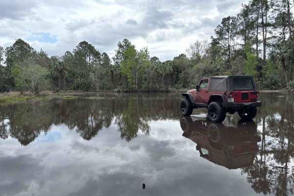
Sawgrass Trail
Depending on the time of year, this can be impassible in a regular truck. Always check the depth of the water before going in too far. This trail takes you through one of the "bounty hole" areas for the mega trucks, some of the water holes are 8-10 feet deep at times, so be mindful before you try cr...
Learn more about Sawgrass Trail
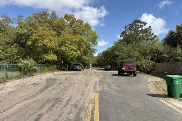
Outback Main Trail
This is the main loop around the property. Be mindful of oncoming traffic around corners as this is a two way trail. Depending the time of year, some of the water holes can get very deep in spots so be sure of where you're driving when entering them. Pack out more trash than you brought in.
Learn more about Outback Main Trail
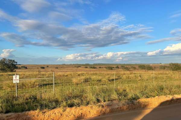
5 Mile Road Winter Garden - Clermont
This route goes between southern Winter Garden and Clermont, passing by several farms and open fields along the way. You can expect to encounter some runners, a few 90-degree turns, and nothing but dirt along the way. If you follow some of the connecting dirt roads along the way you will also encoun...
Learn more about 5 Mile Road Winter Garden - Clermont
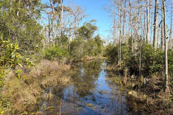
Road 12 Loop - Three Lakes WMA
Trail 12 is a loop road that starts at Road 1 and takes you to the north-west end of the Three Lakes WMA. The road conditions are a mixture of packed sand, loose sand, and some areas at the west end that are flooded year-round. Expect water crossings that are several hundred feet long and up to thre...
Learn more about Road 12 Loop - Three Lakes WMA
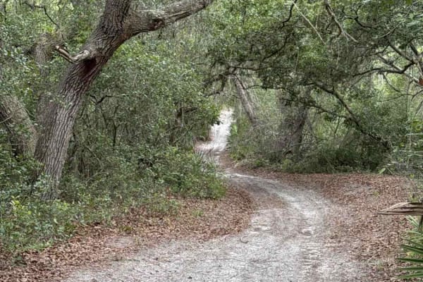
Deep Woods - ONF 42-27.6
The Deep Woods Trail, also known as Ocala National Forest Road 42-27.6, connects Sweet Springs at the north end and CR 42 at the south end in the southeast part of the Ocala National Forest. The trail gives you access to the Deep Woods Ranch. The road conditions are a mixture of packed sand, loose s...
Learn more about Deep Woods - ONF 42-27.6
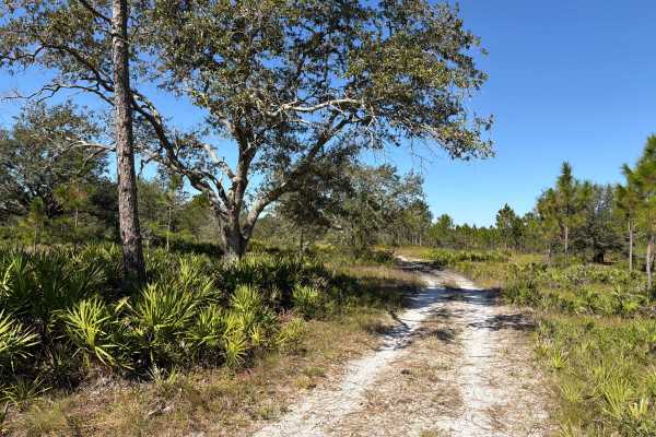
Road 15 - Three Lakes WMA
Road 15 is a scenic 2.4-mile off-road route in the northeast section of the Three Lakes Wildlife Management Area, offering a mix of sandy terrain and seasonal mud challenges for street-legal, high-clearance 4WD vehicles. Connecting Williams Road at the west end and Long Loop Road 4 at the east end, ...
Learn more about Road 15 - Three Lakes WMA
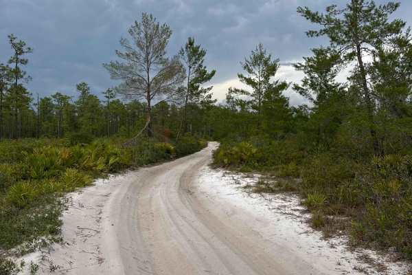
Glenn Brench - ONF 42-21.0
The Glenn Brench Trail, also known as Ocala National Forest Road 42-21.0, connects CF 42 at the south end and Spring Creek Trail at the north end in the southeast of the Ocala National Forest. The trail gives you access to the Wandering Wiregrass trails. The road conditions are a mixture of packed s...
Learn more about Glenn Brench - ONF 42-21.0
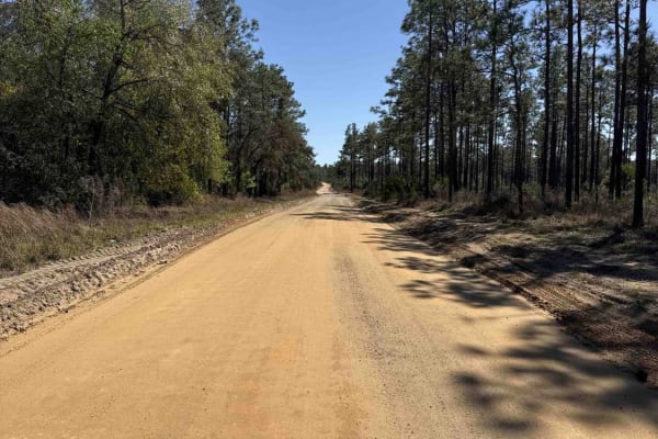
Telephone Trail South - ONF 69
Telephone Trail South, also known as Ocala National Forest Road 69, takes you from CR 42 at the south end to CR 445 at the north end of the trail in the southeast part of the Ocala National Forest. The trail gives you access to the Alexander Springs Creek. The road conditions are a mixture of packed...
Learn more about Telephone Trail South - ONF 69
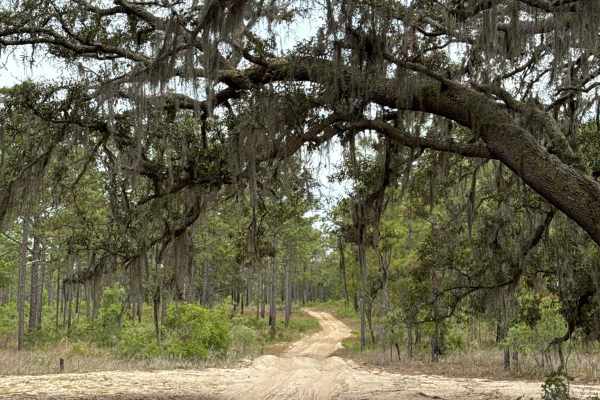
Ocala National Forest 63
The Ocala National Forest Road 63 connects Wandering Wiregrass at the north end and ONF 42-16.6 at the south end in the southeast part of the Ocala National Forest. The trail gives you access to several other trails in the area. The road conditions are a mixture of packed sand, loose sand, and deep ...
Learn more about Ocala National Forest 63
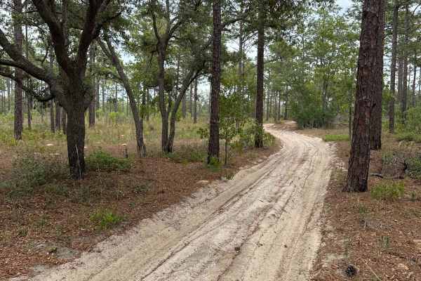
Keel - ONF 61-1.7
The Keel Trail, also known as Ocala National Forest Road 61-1.7, connects Black Water Creek at the west end and Telephone Trail South at the east end in the southeast part of the Ocala National Forest. The trail gives you access to several other trails in the area. The road conditions are a mixture ...
Learn more about Keel - ONF 61-1.7
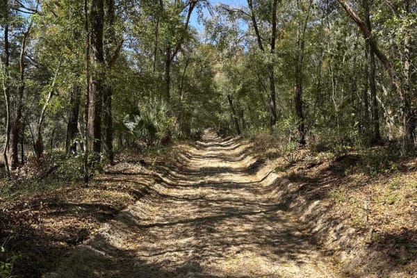
Black Water Creek - ONF 61
Black Water Creek, also known as Ocala National Forest Road 61, takes you from CR 42/439 at the south end to the undeveloped Lake Dorr boat ramp at the north end of the trail in the southeast part of the Ocala National Forest. The trail gives you access to Lake Dorr. The road conditions are a mixtur...
Learn more about Black Water Creek - ONF 61
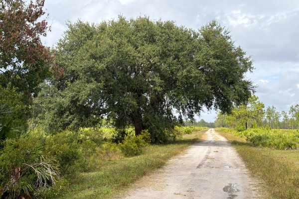
Road 1 - Three Lakes WMA
Road 1 starts and ends at Williams Road in the northeast part of the Three Lakes WMA and gives and gives you access to several trails in the area. The road conditions are a mixture of packed sand, loose sand, and some deep holes that can turn into 2-foot deep mud holes after rainy days. The road is ...
Learn more about Road 1 - Three Lakes WMA
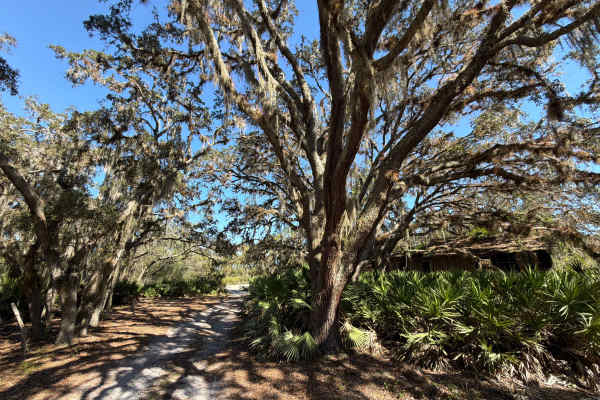
Long Loop Road 4 - Three Lakes WMA
The Long Loop Road 4 starts and ends at the Williams Road in the northeast part of the Three Lakes WMA. I recommend starting the trail at the west end. The road conditions are a mixture of packed sand, loose sand, and some deep (2 to 3 feet), wide, and long mud holes that are almost always flooded. ...
Learn more about Long Loop Road 4 - Three Lakes WMA
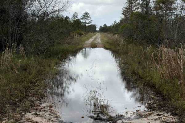
Williams Road - Three Lakes WMA
Williams Road takes you all the way from US Route 441 to the west end of the northeast part of the Three Lakes WMA and gives you access to several trails in that area. The road conditions are a mixture of packed sand, loose sand, and some deep holes that can turn into 2-foot deep mud holes after rai...
Learn more about Williams Road - Three Lakes WMA
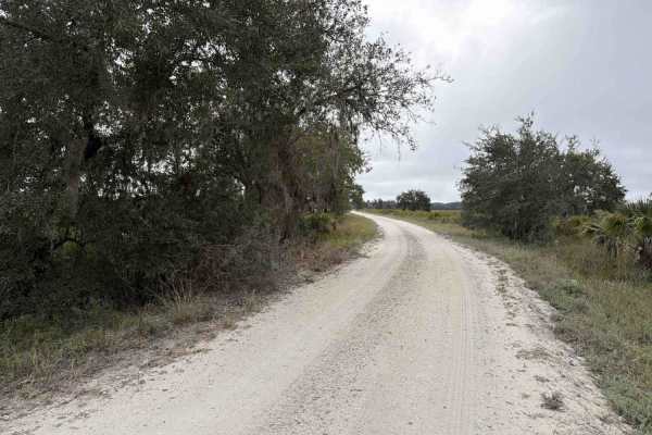
Road 5 - Three Lakes WMA
A daily-use or recreational permit is required to enter the Water Management Area. Road 5 connects Road 19 on the south end and SR-523 at the north end of the trail. It is located in the southwest part of the Three Lakes WMA and gives you access to the North Hunter Campground. The road conditions ar...
Learn more about Road 5 - Three Lakes WMA
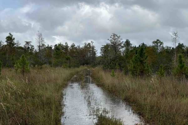
Road 3 Loop - Three Lakes WMA
Trail 3 is a loop road that starts at Williams Road and takes you through the north-west part of the Three Lakes WMA. The road conditions are a mixture of packed sand, loose sand, and some areas that are flooded year-round. Expect water crossings that are several hundred feet long and up to three fe...
Learn more about Road 3 Loop - Three Lakes WMA
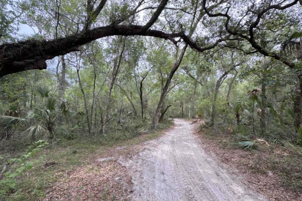
Sweet Springs - ONF 77
The Sweet Springs Trail, also known as Ocala National Forest Road 77, connects NFS 540 at the east end and Spring Creek Trail at the west end in the southeast of the Ocala National Forest. The trail takes you along the Alexander Springs Wilderness Area and gives you access to Hickory Landing, a prim...
Learn more about Sweet Springs - ONF 77
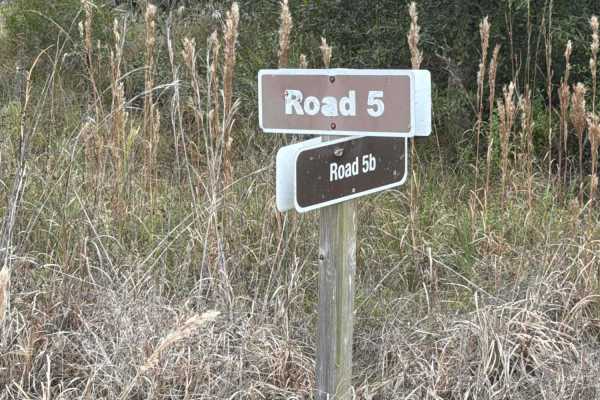
Road 5b - Three Lakes WMA
Road 5b starts at Road 5 at the north end of the trail. It is located in the southwest part of the Three Lakes WMA and gives you access to Lake Jackson. The road conditions are a mixture of packed sand, loose sand, and some deep holes that can turn into 2-foot deep mud holes after rainy days. There ...
Learn more about Road 5b - Three Lakes WMA
ATV trails near Bithlo, Florida
Explore ATV-friendly trails near you. These trails are accessible for vehicles up to 50 inches wide, perfect for ATVs and smaller off-road machines.
40 Acre Lake
This is a mild trail up until the beach area at the lake. If you choose not to turn around at that point, the trail gets narrower (about 60"). There are also several 2-3 foot deep mud holes, some 60-70 yards long. Don't attempt alone unless you have a winch and pre-determined winch points at every h...
Learn more about 40 Acre Lake
Swamp Pit
If you can make it to the end of this trail, you've accomplished something. This trail is one very deep water/mud hole after another with virtually no winch points. Bring a friend to help if you get stuck and as usual, it's a good idea to check the depth of holes before entering.
Learn more about Swamp Pit
Sawgrass Trail
Depending on the time of year, this can be impassible in a regular truck. Always check the depth of the water before going in too far. This trail takes you through one of the "bounty hole" areas for the mega trucks, some of the water holes are 8-10 feet deep at times, so be mindful before you try cr...
Learn more about Sawgrass Trail
Outback Main Trail
This is the main loop around the property. Be mindful of oncoming traffic around corners as this is a two way trail. Depending the time of year, some of the water holes can get very deep in spots so be sure of where you're driving when entering them. Pack out more trash than you brought in.
Learn more about Outback Main Trail
UTV/side-by-side trails near Bithlo, Florida
Find UTV and side-by-side trails near you. These trails accommodate vehicles up to 60 inches wide, ideal for UTVs, side-by-sides, and wider off-road rigs.
40 Acre Lake
This is a mild trail up until the beach area at the lake. If you choose not to turn around at that point, the trail gets narrower (about 60"). There are also several 2-3 foot deep mud holes, some 60-70 yards long. Don't attempt alone unless you have a winch and pre-determined winch points at every h...
Learn more about 40 Acre Lake
Swamp Pit
If you can make it to the end of this trail, you've accomplished something. This trail is one very deep water/mud hole after another with virtually no winch points. Bring a friend to help if you get stuck and as usual, it's a good idea to check the depth of holes before entering.
Learn more about Swamp Pit
Sawgrass Trail
Depending on the time of year, this can be impassible in a regular truck. Always check the depth of the water before going in too far. This trail takes you through one of the "bounty hole" areas for the mega trucks, some of the water holes are 8-10 feet deep at times, so be mindful before you try cr...
Learn more about Sawgrass Trail
Outback Main Trail
This is the main loop around the property. Be mindful of oncoming traffic around corners as this is a two way trail. Depending the time of year, some of the water holes can get very deep in spots so be sure of where you're driving when entering them. Pack out more trash than you brought in.
Learn more about Outback Main Trail
The onX Offroad Difference
onX Offroad combines trail photos, descriptions, difficulty ratings, width restrictions, seasonality, and more in a user-friendly interface. Available on all devices, with offline access and full compatibility with CarPlay and Android Auto. Discover what you're missing today!
Open Trail Map