
Dirt Bike Trails
Near Bennett Springs, Nevada
Explore All Dirt Bike Trails Near Bennett Springs, Nevada
Dirt Bike Trails Near Bennett Springs, Nevada
Discover the best dirt bike trails near you. Browse trail maps, check difficulty ratings, and find your next adventure — whether you're looking for a quick ride or an all-day expedition.

Moapa to Caliente Via Barclay
This scenic, point-to-point route from Moapa to Caliente via Barclay is ideal for offroaders seeking an expansive, low-difficulty journey through diverse desert landscapes, transitioning into forested high-country elevations. Spanning approximately 90.7 miles, the trail takes drivers from a starting...
Learn more about Moapa to Caliente Via Barclay

Barnes Canyon Road
This road runs from Clover Creek through Barnes Canyon providing access to several different roads: Fife, Stoker Flats, and East Pass. The road is maintained and easy enough for 2WD vehicles and wide enough for 2 vehicles to pass. Scenic low mountain landscape in every direction. Sage Brush flats, C...
Learn more about Barnes Canyon Road
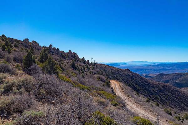
Ella Mtn. Fire Lookout
Some maintained dirt roads and some narrow tight turns with a couple of minor rock climbing sections. Beautiful scenery all along the way as you ascend up the lookout. Easily completed in a high clearance 4X4 or UTV. Look for wild horses along the way once in higher elevations.
Learn more about Ella Mtn. Fire Lookout
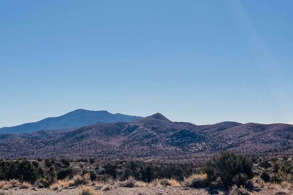
Comet
The name says it all. This well-maintained gravel road is smooth, with gradual turns and great views. It buzzes from the tarmac back into the valley and hills to provide easy access to this section of the Silver State trail. There is a lot of mining activity near the tarmac and plenty of offshoots t...
Learn more about Comet
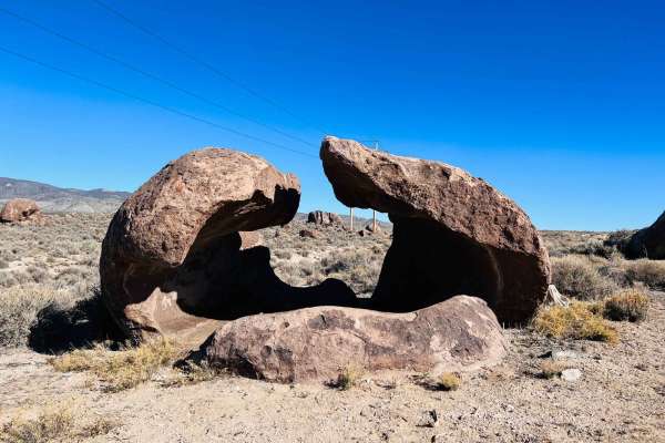
Black Canyon
This trail has a lot of elevation change and crosses over many washes that are sandy and rocky. During monsoon season, they could be very dug out. However, seeing as how this is an access road for the powerlines and buried fiber optic lines, it appears to be graded quite often. There are fantastic v...
Learn more about Black Canyon
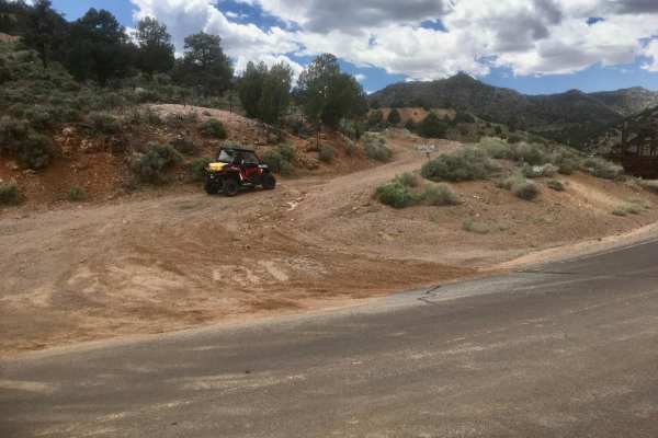
Caselton Access Road
This unmarked and unnamed BLM road provides the shortest and most direct connection between Pioche's quaint Nevada town and Caselton's mining district and village. The connection is made by traveling over the famed Treasure Hill just south of Pioche, Nevada. One can access a network of off-highway...
Learn more about Caselton Access Road
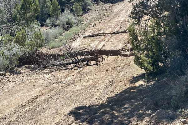
North East Pass Road
The North end of East Pass road provides access to Barne's Canyon, Fife and Stoker Flats roads. The road climbs about 400 feet as you head South. Fife Mountain and the Clover Mountain Wilderness area are situated West of the road and there is a large open sage brush flat to the East. Scenic mountai...
Learn more about North East Pass Road
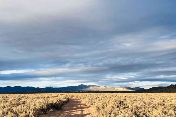
Willow Springs Half Loop
This trail appears to be a loop when viewed on the map. It very well may be, but at the time of recording, the trail seemed to take a sharp left turn into a very narrow stream bed that would increase the difficulty and only allow access to a much smaller vehicle. Past the "turn," the trail appears t...
Learn more about Willow Springs Half Loop
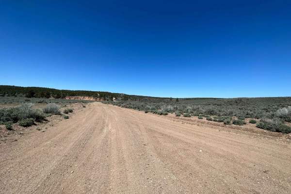
Fife Road
Fife Road descends from Pine Canyon dam, nearly 1000 feet through a Sage Brush flat surrounded by heavy Cedar trees in the distance. A large wild horse herd frequents the area, evidenced by many large piles of horse manure scattered at random locations along the road. This is a show of dominance by ...
Learn more about Fife Road
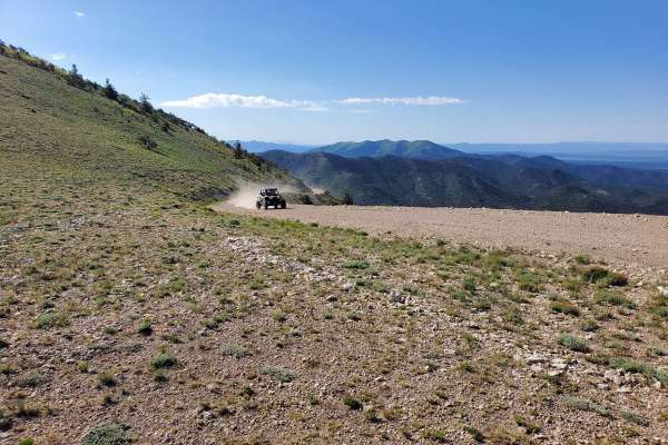
Mount Wilson Navigation Towers
This 26.2-mile trail takes you to the Mount Wilson Navigation Towers on top of Mount Wilson. Mount Wilson is the highest point in the Wilson Creek Mountains in Lincoln County, Nevada. The trail is maintained by the county road department for the ranchers, military, and communication companies from ...
Learn more about Mount Wilson Navigation Towers
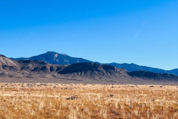
Hatch Road
With the right long travel vehicle, this road would be a blast! With the wrong one, a misjudgment could be catastrophic on the suspension. A better name for this route would be rollercoaster road, as it bobs and dives, twists and turns. There's lots of evidence of pretty recent heavy equipment use a...
Learn more about Hatch Road
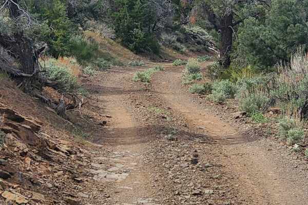
Comet Mine Road
Comet Mine Road is a scenic 10.5-mile mining road located in the Highland Range of Lincoln County, Nevada. The trail follows the eastern slopes of Highland Peak and provides access to some of the area's most significant historic mining sites, including the Pan American Mine and the Comet Mine. This ...
Learn more about Comet Mine Road
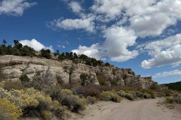
Deer Lodge Road
This is a generally well-graded road, that can be washed out after storms. It's a great route between Nevada's Echo Canyon State Park and existing mapped trails on the Utah border side. Both the Nevada and Utah sides of the border are scattered with numerous mining sites easily accessible from trail...
Learn more about Deer Lodge Road
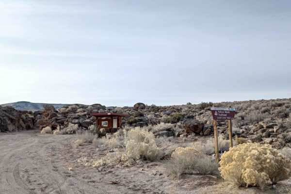
Little Boulder
Little Boulder road runs through the Bureau of Land Management Government Lands and Big Rock Wilderness. It is an easy gravel dirt mixed road, there are amazing views, and a chance to see wild horses, donks, or pronghorns! There are a couple areas to campl and also Pahroc Wash Trailhead hike to chec...
Learn more about Little Boulder
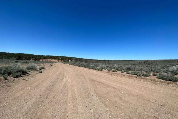
Pine Canyon Dam Road
Pine Canyon Dam Road crosses a relatively flat Sage Brush plain with heavy Cedar trees in the distance. A large wild horse herd frequents the area, evidenced by many large piles of horse manure scattered at random locations along the road. This is a show of dominance by the stallions of the herd. Pl...
Learn more about Pine Canyon Dam Road
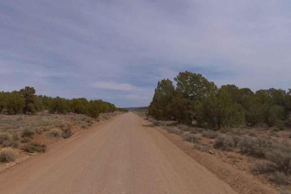
Acoma-FR30017
FR30017-Acoma is a 10-mile maintained hard-pack dirt and rock trail rated 1 of 10. The north end of this road is located in Utah within the Dixie National Forest, Pine Valley Ranger District, and is designated FR30017-Acoma. The south end of this road is located in Lincoln County, Nevada, and is des...
Learn more about Acoma-FR30017
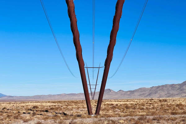
Simpson Road
This fun, narrow road blasts across the desert and is generally smooth and well-graded. Until it isn't, be on the lookout for frequent deep washouts and ruts. When it's wet, entire sections of the road become flowing washes. In other sections, the water crosses the road and digs out further. Otherwi...
Learn more about Simpson Road
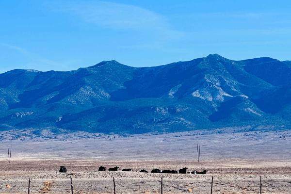
Bullfrog Reservoir
This fun little loop circles down to the very large Bullfrog Reservoir and then cuts to a much smaller one with some interesting artifacts of ranching days gone by. There's a newer corral near the smaller tank. In the winter, the smaller tank is frozen, contrasting with the barren desert around. Wat...
Learn more about Bullfrog Reservoir
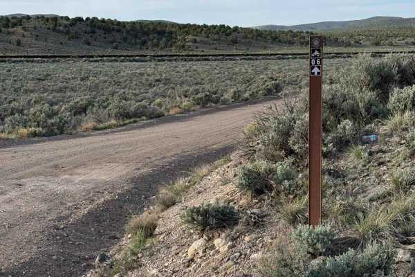
Color Country North Hills Segment Trail 6
This is Trail 6 of the Color Country Trail system, North Hills segment, which can be accessed from either Utah Highway 56 just west of Modena, Utah, or from Trail 1 of the North Hills segment staging in Modena. The trail is an easy trail that winds through a desert-type landscape with junipers and m...
Learn more about Color Country North Hills Segment Trail 6
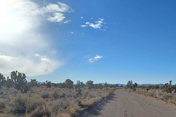
Mackie Reservoir Road
Mackie Reservoir Road is an easy road with a mixture of dirt and gravel. The road runs through the Bureau of Land Management Government Lands, there are a couple of camp spots along the way. The road is pretty open but has some pretty views of mountains in the distance. There are some pretty neat Jo...
Learn more about Mackie Reservoir Road
ATV trails near Bennett Springs, Nevada
Explore ATV-friendly trails near you. These trails are accessible for vehicles up to 50 inches wide, perfect for ATVs and smaller off-road machines.
Moapa to Caliente Via Barclay
This scenic, point-to-point route from Moapa to Caliente via Barclay is ideal for offroaders seeking an expansive, low-difficulty journey through diverse desert landscapes, transitioning into forested high-country elevations. Spanning approximately 90.7 miles, the trail takes drivers from a starting...
Learn more about Moapa to Caliente Via Barclay
Barnes Canyon Road
This road runs from Clover Creek through Barnes Canyon providing access to several different roads: Fife, Stoker Flats, and East Pass. The road is maintained and easy enough for 2WD vehicles and wide enough for 2 vehicles to pass. Scenic low mountain landscape in every direction. Sage Brush flats, C...
Learn more about Barnes Canyon Road
Ella Mtn. Fire Lookout
Some maintained dirt roads and some narrow tight turns with a couple of minor rock climbing sections. Beautiful scenery all along the way as you ascend up the lookout. Easily completed in a high clearance 4X4 or UTV. Look for wild horses along the way once in higher elevations.
Learn more about Ella Mtn. Fire Lookout
Comet
The name says it all. This well-maintained gravel road is smooth, with gradual turns and great views. It buzzes from the tarmac back into the valley and hills to provide easy access to this section of the Silver State trail. There is a lot of mining activity near the tarmac and plenty of offshoots t...
Learn more about Comet
UTV/side-by-side trails near Bennett Springs, Nevada
Find UTV and side-by-side trails near you. These trails accommodate vehicles up to 60 inches wide, ideal for UTVs, side-by-sides, and wider off-road rigs.
Moapa to Caliente Via Barclay
This scenic, point-to-point route from Moapa to Caliente via Barclay is ideal for offroaders seeking an expansive, low-difficulty journey through diverse desert landscapes, transitioning into forested high-country elevations. Spanning approximately 90.7 miles, the trail takes drivers from a starting...
Learn more about Moapa to Caliente Via Barclay
Barnes Canyon Road
This road runs from Clover Creek through Barnes Canyon providing access to several different roads: Fife, Stoker Flats, and East Pass. The road is maintained and easy enough for 2WD vehicles and wide enough for 2 vehicles to pass. Scenic low mountain landscape in every direction. Sage Brush flats, C...
Learn more about Barnes Canyon Road
Ella Mtn. Fire Lookout
Some maintained dirt roads and some narrow tight turns with a couple of minor rock climbing sections. Beautiful scenery all along the way as you ascend up the lookout. Easily completed in a high clearance 4X4 or UTV. Look for wild horses along the way once in higher elevations.
Learn more about Ella Mtn. Fire Lookout
Comet
The name says it all. This well-maintained gravel road is smooth, with gradual turns and great views. It buzzes from the tarmac back into the valley and hills to provide easy access to this section of the Silver State trail. There is a lot of mining activity near the tarmac and plenty of offshoots t...
Learn more about Comet
The onX Offroad Difference
onX Offroad combines trail photos, descriptions, difficulty ratings, width restrictions, seasonality, and more in a user-friendly interface. Available on all devices, with offline access and full compatibility with CarPlay and Android Auto. Discover what you're missing today!
Open Trail Map