
Dirt Bike Trails
Near Bean Station, Tennessee
Explore All Dirt Bike Trails Near Bean Station, Tennessee
Dirt Bike Trails Near Bean Station, Tennessee
Discover the best dirt bike trails near you. Browse trail maps, check difficulty ratings, and find your next adventure — whether you're looking for a quick ride or an all-day expedition.
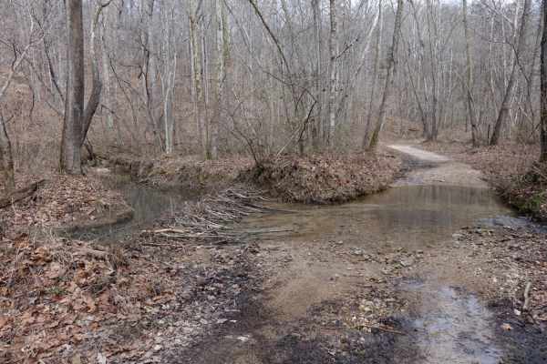
Lost Creek & Clear Creek
This route provides a bit more challenge and adrenaline than the majority of the roads in Chuck Swan WMA, but still keeps it well within the capabilities of most stock and slightly modified 4x4s. Along Clear Creek Rd. there are three water crossings that vary greatly depending on recent rains. All t...
Learn more about Lost Creek & Clear Creek
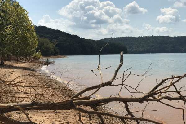
Mossy Springs
This route traverses from the southern portions of Chuck Swan WMA to one of the more remote areas on the northern border. Along this route you'll find some easy but fun roads, a natural freshwater spring, and if you time your visit right ample opportunities to pick fresh blackberries. In the summer ...
Learn more about Mossy Springs
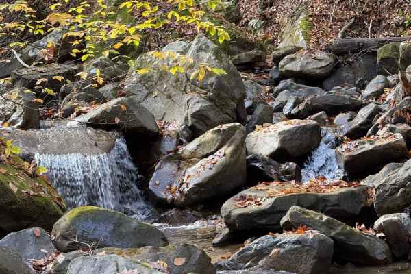
High Ridge Towers
This trail intersects with 16 Creeks trail and runs out a long stretch of high ridges with some excellent views of the surrounding area. The east side of the trail goes to several cell/radio towers that allow you to look over the town of Middlesboro and even see the tunnels at Cumberland Gap into Te...
Learn more about High Ridge Towers
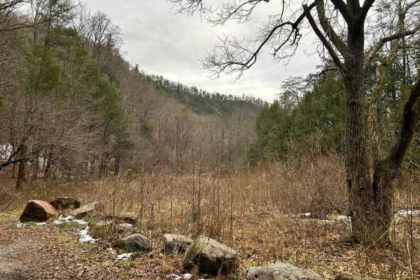
Paint Pond Trail
This is a short out-and-back trail with multiple primitive campsites and fire rings. The campsite on the south end has room for multiple vehicles with rooftop tents and plenty of room for ground tents with three fire rings. The three campsites on the north end of the trail are large enough for two v...
Learn more about Paint Pond Trail
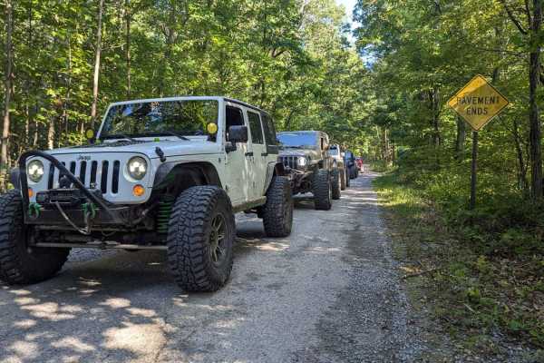
Green Mountain Road
This is a windy gravel mountain road. It winds along the edge of the mountain with mild elevation changes. Beautiful drive with a couple of good spots to catch a view, although there are no official lookouts. The road is well-maintained and makes a great "Sunday drive". The view is very pretty in th...
Learn more about Green Mountain Road
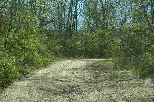
Mary's Wild Horse Trail
This is a gravel/dirt road uphill to a large open field with roads. The property includes open range horses and cattle, and there are lots of side trails to adventure onto. The trail can be reached off Highway 221 in Pineville, Kentucky. There's a railroad crossing as well as old gas wells on the pr...
Learn more about Mary's Wild Horse Trail
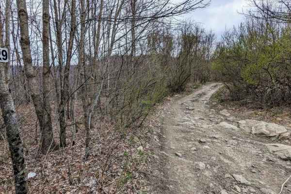
29
Trail 29 is a longer trail running from east and west near the far west side of the Black Mountain ORV Adventure Area. The trail ends on the west side at a private property which is gated and labeled "FOR EMERGENCY VEHICLES ONLY". Along the way, this trail travels through an area known as The Stadiu...
Learn more about 29
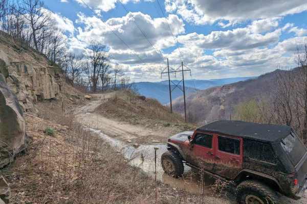
36
The majority of this trail is flat (the flattest in the park) with some shallow water/mud holes with solid bottoms. The terrain is small gravel-like rock mixed with softball-sized rocks. This drive is very picturesque, especially at the top, with a nice view from 2800 feet of elevation. You will fin...
Learn more about 36
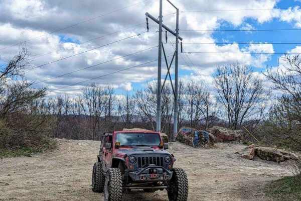
12b
Trail 12 splits into two parts in the OHV area. It is divided by private land. For mapping purposes, this trail has been labeled "12a" and "12b". 12b is an easy drive and is a great way to navigate through the park. It runs between a private property boundary and the 4 Poles Overlook. There are some...
Learn more about 12b
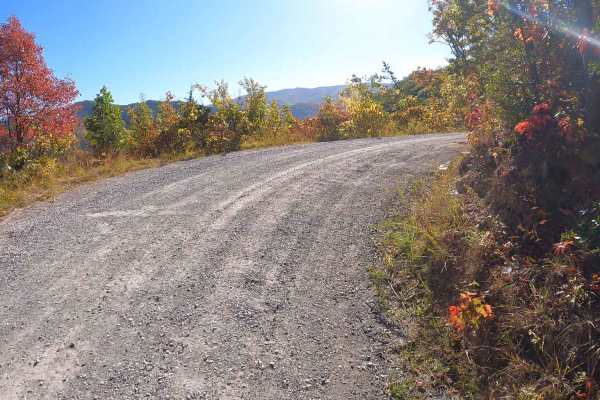
Round Knob Road - FS88
This is a 4.2-mile out-and-back single-lane forest service road on the Tennessee side of the Cherokee National Forest, southeast of Greeneville, Tennessee, leading up to the Bald Mountains region. It is accessed from Greeneville, TN via Greystone Road and eventually turns into Round Knob Road. The r...
Learn more about Round Knob Road - FS88
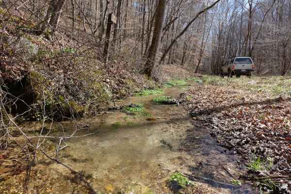
Big Loop & Big Springs
This loop gives you a bit of everything there is to see in Chuck Swan WMA. This route is slightly rougher than Main Forest Rd, but still passable by capable 2WD vehicles except during the wettest times of the year. You'll have opportunities to see natural springs just off of the road, visit some old...
Learn more about Big Loop & Big Springs
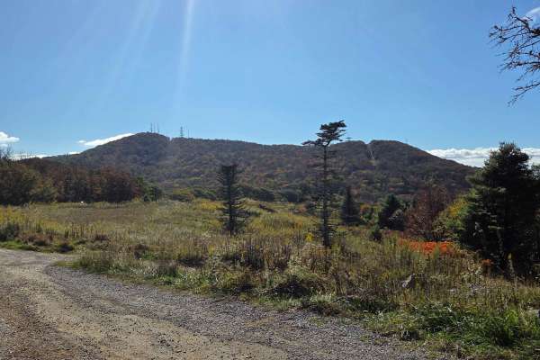
Viking Mountain Road
Turning to gravel 5 miles in, Viking Mountain Road is a 3.5-mile out-and-back single-lane forest service road on the Tennessee side of the Cherokee National Forest, southeast of Greeneville, Tennessee, leading up to the Bald Mountains region. On pavement, it is accessed from Greeneville, Tennessee v...
Learn more about Viking Mountain Road
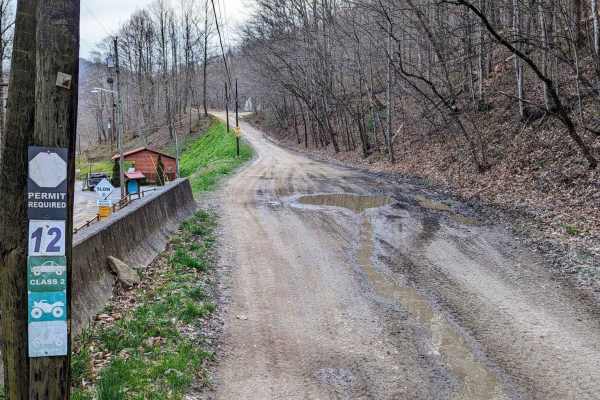
12a
Trail 12 splits into two parts in the OHV area. It is divided by private land. For mapping purposes, this trail has been labeled "12a" and "12b". 12a is an easy drive and is a great way to navigate through the park. There are some elevation changes and small rocks. In some areas, the trail is wide e...
Learn more about 12a
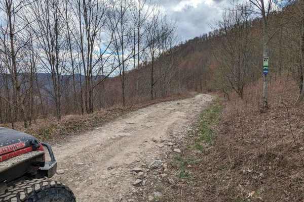
27
Trail 27 runs north and south between Little Stadium and The Soup Bowl. Along the trail, you will come across Second Point Lookout. This trail has a rocky base and is slow-moving, with beautiful views of the mountains along the way. You will find shallow water/mud holes as well as a few elevation ch...
Learn more about 27
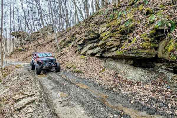
11
This trail is just over 2 miles long and is a great opportunity to see the Black Mountain trails without getting too crazy. There are also a couple of small waterfalls to enjoy. The terrain is dirt with some small rocks and water puddles. The trail does have a few areas that could potentially wash o...
Learn more about 11
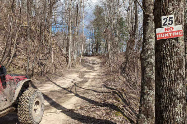
25
Trail 25 is an enjoyable drive. This dirt trail has very few rocks and little elevation. It is fairly wide and away from the very edge of the mountain. There are some large, shallow water holes with solid bottoms. There are also a couple of nice unofficial overlooks with great views.
Learn more about 25
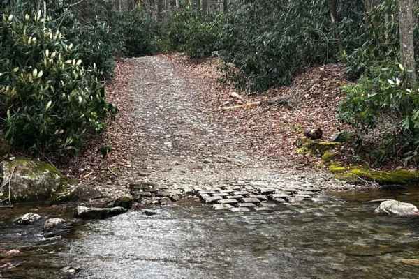
Horse Creek
Horse Creek is one of the many hidden gems of East Tennessee. This is an epic trail filled with multiple water crossings, rock ledges, steep grades, and scenic views. You will encounter a few switchbacks that are pretty tight toward the top of the mountain. This is an out-and-back trail that will ta...
Learn more about Horse Creek
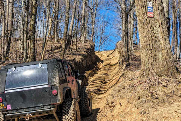
15
This trail starts with a steep incline with a rock ledge at the top that will be difficult to run when wet. Once past the first initial ledge, the trail is fairly easy until it intersects with trail 12. Before the intersection with trail 12, 15 runs along a ridgeline and then the mountainside, offer...
Learn more about 15
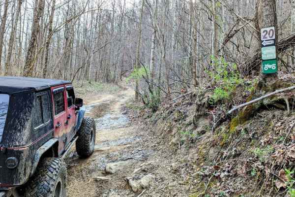
20
Trail 20 is a dirt trail and just under 2.5 miles long. It's a very scenic drive that weaves along the mountain's edge. There are some mild elevation changes and it's a great way to easily navigate from the north end to the middle of the OHV area. There are a couple of small rocky areas, but the tra...
Learn more about 20
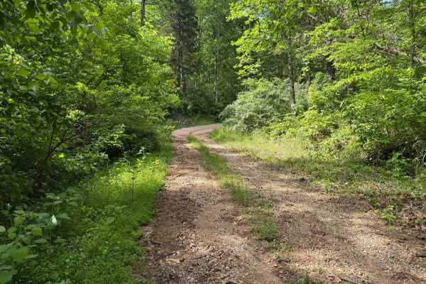
Crumely Loop
Crumely Loop is a mellow 2.6-mile forest road tucked into the heart of Chuck Swan State Forest. Like all the roads here, it's an active logging route, so keep an eye out for trucks and yield when needed. Several old roads branch off along the way, but most are closed to motorized vehicles; just foll...
Learn more about Crumely Loop
ATV trails near Bean Station, Tennessee
Explore ATV-friendly trails near you. These trails are accessible for vehicles up to 50 inches wide, perfect for ATVs and smaller off-road machines.
Lost Creek & Clear Creek
This route provides a bit more challenge and adrenaline than the majority of the roads in Chuck Swan WMA, but still keeps it well within the capabilities of most stock and slightly modified 4x4s. Along Clear Creek Rd. there are three water crossings that vary greatly depending on recent rains. All t...
Learn more about Lost Creek & Clear Creek
Mossy Springs
This route traverses from the southern portions of Chuck Swan WMA to one of the more remote areas on the northern border. Along this route you'll find some easy but fun roads, a natural freshwater spring, and if you time your visit right ample opportunities to pick fresh blackberries. In the summer ...
Learn more about Mossy Springs
High Ridge Towers
This trail intersects with 16 Creeks trail and runs out a long stretch of high ridges with some excellent views of the surrounding area. The east side of the trail goes to several cell/radio towers that allow you to look over the town of Middlesboro and even see the tunnels at Cumberland Gap into Te...
Learn more about High Ridge Towers
Paint Pond Trail
This is a short out-and-back trail with multiple primitive campsites and fire rings. The campsite on the south end has room for multiple vehicles with rooftop tents and plenty of room for ground tents with three fire rings. The three campsites on the north end of the trail are large enough for two v...
Learn more about Paint Pond Trail
UTV/side-by-side trails near Bean Station, Tennessee
Find UTV and side-by-side trails near you. These trails accommodate vehicles up to 60 inches wide, ideal for UTVs, side-by-sides, and wider off-road rigs.
High Ridge Towers
This trail intersects with 16 Creeks trail and runs out a long stretch of high ridges with some excellent views of the surrounding area. The east side of the trail goes to several cell/radio towers that allow you to look over the town of Middlesboro and even see the tunnels at Cumberland Gap into Te...
Learn more about High Ridge Towers
Paint Pond Trail
This is a short out-and-back trail with multiple primitive campsites and fire rings. The campsite on the south end has room for multiple vehicles with rooftop tents and plenty of room for ground tents with three fire rings. The three campsites on the north end of the trail are large enough for two v...
Learn more about Paint Pond Trail
Green Mountain Road
This is a windy gravel mountain road. It winds along the edge of the mountain with mild elevation changes. Beautiful drive with a couple of good spots to catch a view, although there are no official lookouts. The road is well-maintained and makes a great "Sunday drive". The view is very pretty in th...
Learn more about Green Mountain Road
Mary's Wild Horse Trail
This is a gravel/dirt road uphill to a large open field with roads. The property includes open range horses and cattle, and there are lots of side trails to adventure onto. The trail can be reached off Highway 221 in Pineville, Kentucky. There's a railroad crossing as well as old gas wells on the pr...
Learn more about Mary's Wild Horse Trail
The onX Offroad Difference
onX Offroad combines trail photos, descriptions, difficulty ratings, width restrictions, seasonality, and more in a user-friendly interface. Available on all devices, with offline access and full compatibility with CarPlay and Android Auto. Discover what you're missing today!
Open Trail Map