
Dirt Bike Trails
Near Bay Lake, Florida
Explore All Dirt Bike Trails Near Bay Lake, Florida
Dirt Bike Trails Near Bay Lake, Florida
Discover the best dirt bike trails near you. Browse trail maps, check difficulty ratings, and find your next adventure — whether you're looking for a quick ride or an all-day expedition.
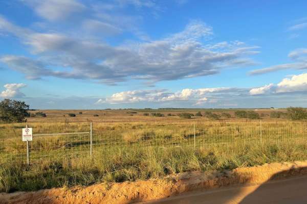
5 Mile Road Winter Garden - Clermont
This 6.4-mile point-to-point dirt road connects Clermont and Winter Garden, winding through rolling hills, agricultural farms, and open fields. The well-graded dirt route features minimal elevation changes and sharp 90-degree turns as it circumvents local properties.
The trail is highly manageable ...
Learn more about 5 Mile Road Winter Garden - Clermont
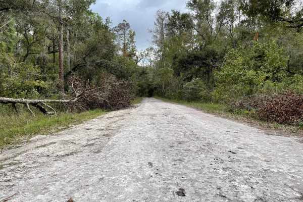
Withlacoochee Grades
Standard service road style trail with the majority of the trail flanked by tall trees, ponds, and additional off-road excursions trails. Several areas are just off the trail, great for camping or staging, and the western entry point begins with a large clearing where people bring their RVs and towa...
Learn more about Withlacoochee Grades
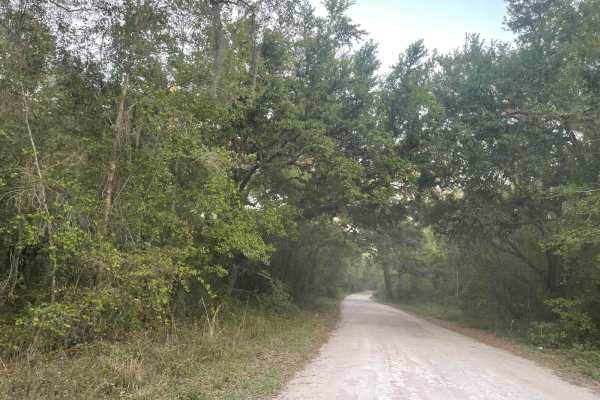
Richloam Wildlife Area: Center Grade Road
This route is the main East/West road of the Richloam Wildlife Management Area. There are many additional trails to explore along the way, as well as plenty of easily accessible dispersed camping spots. There are a few hunting campsites along this route; travelers should be aware of the season durin...
Learn more about Richloam Wildlife Area: Center Grade Road
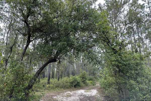
Richloam Wildlife Management Area SE Quarter Infinity Loop
This route is an infinity loop created out of the most fun and consistently passable central Richloam WMA trails. The route includes small hills, ruts, mud pits, loose sand, narrow passes, obstacles, camping spots, and clear areas to pause and relax. This "infinity loop" is named due to the repeatin...
Learn more about Richloam Wildlife Management Area SE Quarter Infinity Loop
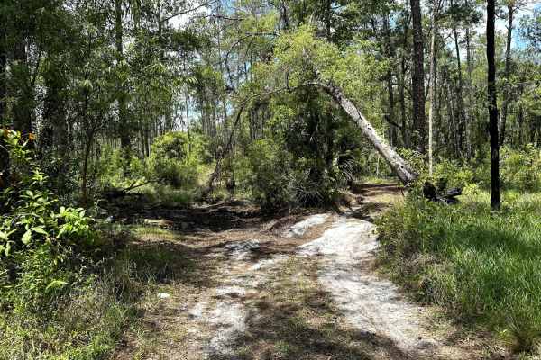
Gator Hole Throughway
The gator hole throughway runs parallel to South Grade Road from the 471 though the management area. It features consistently tight trails, mild sand and minor mud spots. In all, this is a nice ride through the woods - albeit claustrophobic. Don't expect many places to pass or turn around and, be su...
Learn more about Gator Hole Throughway
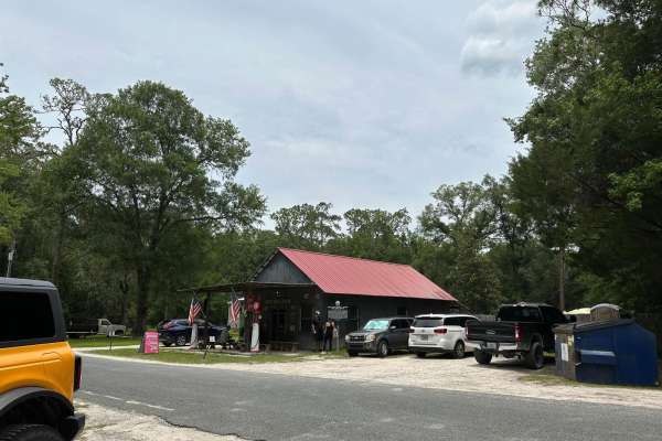
Withlacoochee State Forest and 471 Loop
This loop connects North Grade Road and Gator Hole Crossing by crossing over the 471 and circling the interior of the Withlacoochee State Forest. It is fairly easy to navigate and passes an old General Store frequented by trail riders and locals. You will find a lot of off-road vehicles surrounding ...
Learn more about Withlacoochee State Forest and 471 Loop
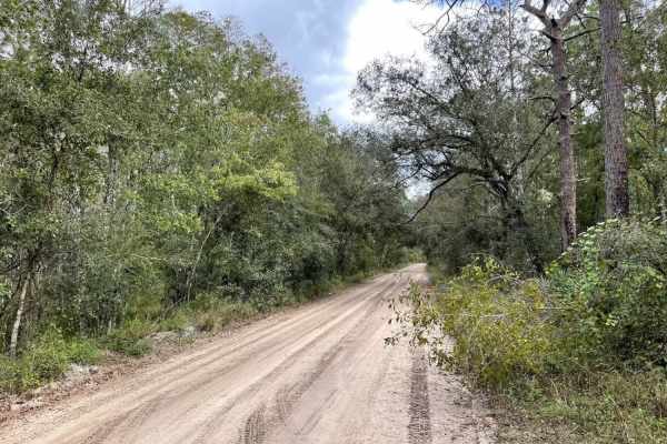
Richloam WMA North Grade Road
This is an easy route through the woods on hard-packed dirt, sand, and rocks. You can enter the trail from the west (Route 471) at 28.48129, -82.05373 or from the east (route 565) at 28.45565, -81.92040. This road connects the Richloam WMA's south and north sets of trails.
Learn more about Richloam WMA North Grade Road
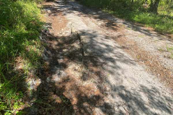
Blue Sink Road
This trail is located within the Florida Fish and Wildlife Commission's (FWC) Richloam Wildlife Management Area (WMA), which is one of seven tracts that compose Withlacoochee State Forest. The Richloam tract consists of 58,000-plus acres crossing over four counties in northcentral Florida. Public ac...
Learn more about Blue Sink Road
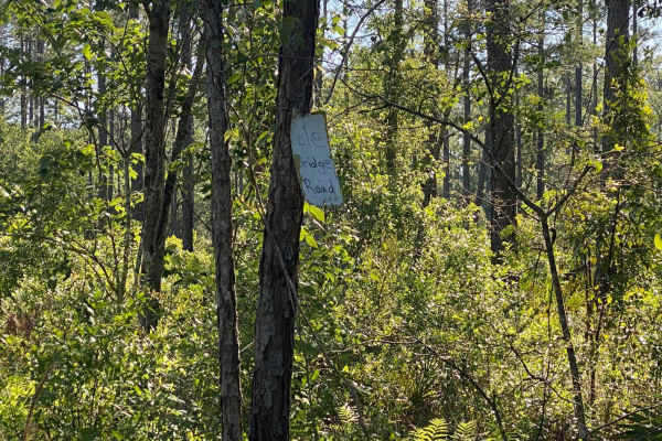
Pole Bridge Road
This trail is located within the Florida Fish and Wildlife Commission's (FWC) Richloam Wildlife Management Area (WMA), which is one of seven tracts that compose Withlacoochee State Forest. The Richloam tract consists of 58,000-plus acres crossing over four counties in north-central Florida. Public a...
Learn more about Pole Bridge Road
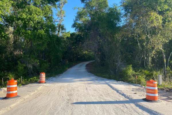
McKinney Sink Road
This trail is located within the Florida Fish and Wildlife Commission's (FWC) Richloam Wildlife Management Area (WMA), which is one of seven tracts that compose Withlacoochee State Forest. The Richloam tract consists of 58,000-plus acres crossing over four counties in northcentral Florida. Public ac...
Learn more about McKinney Sink Road
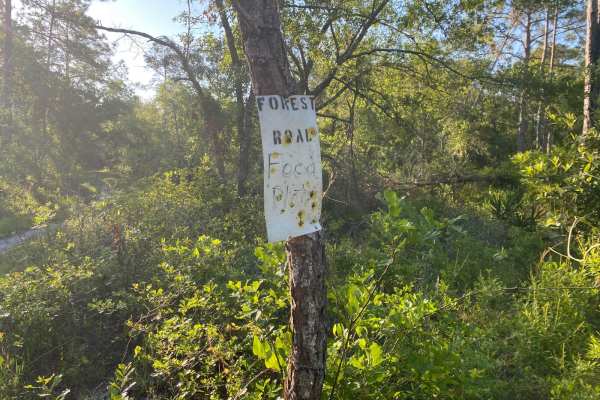
Porter Gap Road
This trail is located within the Florida Fish and Wildlife Commission's (FWC) Richloam Wildlife Management Area (WMA), which is one of seven tracts that compose Withlacoochee State Forest. The Richloam tract consists of 58,000-plus acres crossing over four counties in northcentral Florida. Public ac...
Learn more about Porter Gap Road
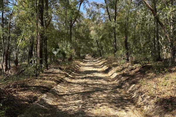
Black Water Creek - ONF 61
Black Water Creek, also known as Ocala National Forest Road 61, takes you from CR 42/439 at the south end to the undeveloped Lake Dorr boat ramp at the north end of the trail in the southeast part of the Ocala National Forest. The trail gives you access to Lake Dorr. The road conditions are a mixtur...
Learn more about Black Water Creek - ONF 61
Road 12 Loop - Three Lakes WMA
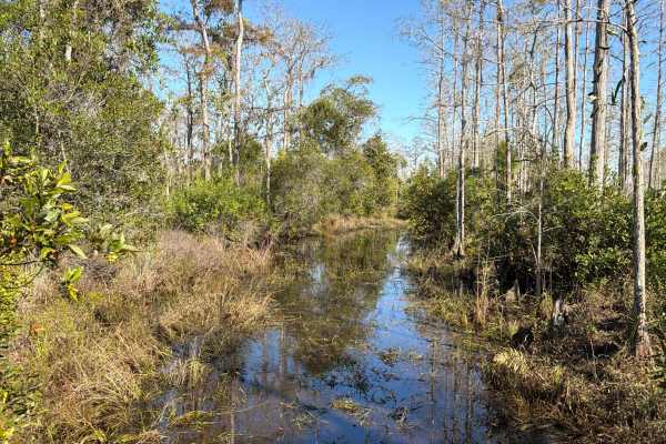
Trail 12 is a loop road that starts at Road 1 and takes you to the north-west end of the Three Lakes WMA. The road conditions are a mixture of packed sand, loose sand, and some areas at the west end that are flooded year-round. Expect water crossings that are several hundred feet long and up to thre...
Learn more about Road 12 Loop - Three Lakes WMA
Road 5 - Three Lakes WMA
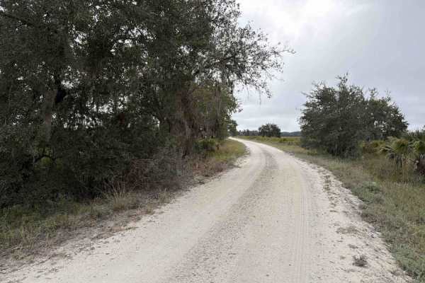
A daily-use or recreational permit is required to enter the Water Management Area. Road 5 connects Road 19 on the south end and SR-523 at the north end of the trail. It is located in the southwest part of the Three Lakes WMA and gives you access to the North Hunter Campground. The road conditions ar...
Learn more about Road 5 - Three Lakes WMA
Road 5b - Three Lakes WMA
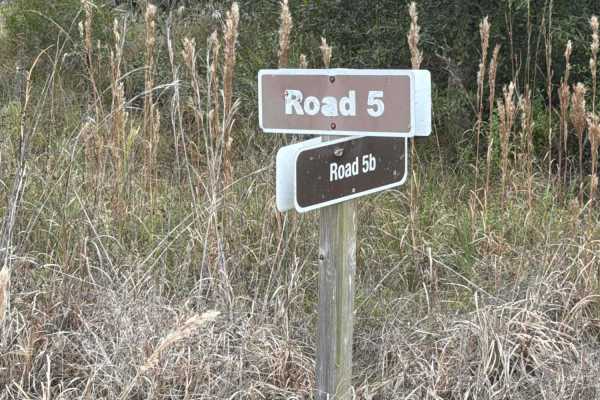
Road 5b starts at Road 5 at the north end of the trail. It is located in the southwest part of the Three Lakes WMA and gives you access to Lake Jackson. The road conditions are a mixture of packed sand, loose sand, and some deep holes that can turn into 2-foot deep mud holes after rainy days. There ...
Learn more about Road 5b - Three Lakes WMA
Ocala National Forest 63
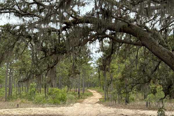
The Ocala National Forest Road 63 connects Wandering Wiregrass at the north end and ONF 42-16.6 at the south end in the southeast part of the Ocala National Forest. The trail gives you access to several other trails in the area. The road conditions are a mixture of packed sand, loose sand, and deep ...
Learn more about Ocala National Forest 63
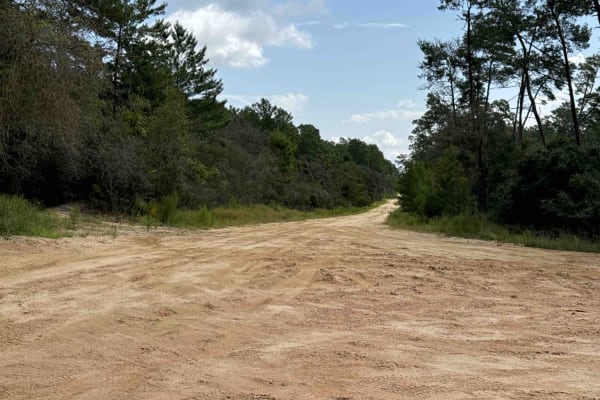
Thomas Trail - ONF 49
The Thomas Trail, also known as Ocala National Forest Road 49, connects Highway 42 at the south end and South Boundary Trail at the north end in the south part of the Ocala National Forest. The trail gives you access to the south boundary of Ocala National Forest. The road conditions are a mixture o...
Learn more about Thomas Trail - ONF 49
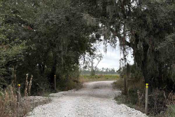
Road 19 - Three Lakes WMA
Road 19 connects Road 16 on the south end and Road 5 at the north end of the trail. It is located in the southwest part of the Three Lakes WMA and gives you access to the Prairie Lakes Unit and a Group Camp Site with several picnic tables. The road conditions are a mixture of packed sand, loose sand...
Learn more about Road 19 - Three Lakes WMA
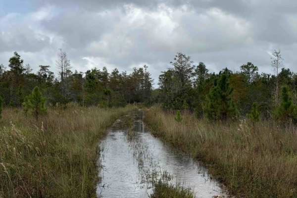
Road 3 Loop - Three Lakes WMA
Trail 3 is a loop road that starts at Williams Road and takes you through the north-west part of the Three Lakes WMA. The road conditions are a mixture of packed sand, loose sand, and some areas that are flooded year-round. Expect water crossings that are several hundred feet long and up to three fe...
Learn more about Road 3 Loop - Three Lakes WMA
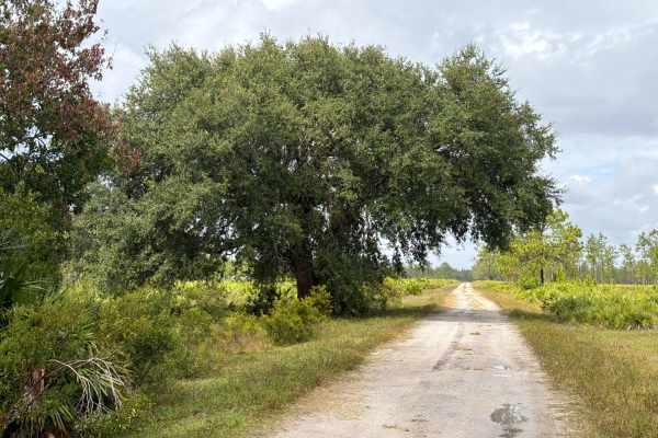
Road 1 - Three Lakes WMA
Road 1 starts and ends at Williams Road in the northeast part of the Three Lakes WMA and gives and gives you access to several trails in the area. The road conditions are a mixture of packed sand, loose sand, and some deep holes that can turn into 2-foot deep mud holes after rainy days. The road is ...
Learn more about Road 1 - Three Lakes WMA
ATV trails near Bay Lake, Florida
Explore ATV-friendly trails near you. These trails are accessible for vehicles up to 50 inches wide, perfect for ATVs and smaller off-road machines.
5 Mile Road Winter Garden - Clermont
This 6.4-mile point-to-point dirt road connects Clermont and Winter Garden, winding through rolling hills, agricultural farms, and open fields. The well-graded dirt route features minimal elevation changes and sharp 90-degree turns as it circumvents local properties.
The trail is highly manageable ...
Learn more about 5 Mile Road Winter Garden - Clermont
Black Water Creek - ONF 61
Black Water Creek, also known as Ocala National Forest Road 61, takes you from CR 42/439 at the south end to the undeveloped Lake Dorr boat ramp at the north end of the trail in the southeast part of the Ocala National Forest. The trail gives you access to Lake Dorr. The road conditions are a mixtur...
Learn more about Black Water Creek - ONF 61
Road 12 Loop - Three Lakes WMA
Trail 12 is a loop road that starts at Road 1 and takes you to the north-west end of the Three Lakes WMA. The road conditions are a mixture of packed sand, loose sand, and some areas at the west end that are flooded year-round. Expect water crossings that are several hundred feet long and up to thre...
Learn more about Road 12 Loop - Three Lakes WMA
Road 5 - Three Lakes WMA
A daily-use or recreational permit is required to enter the Water Management Area. Road 5 connects Road 19 on the south end and SR-523 at the north end of the trail. It is located in the southwest part of the Three Lakes WMA and gives you access to the North Hunter Campground. The road conditions ar...
Learn more about Road 5 - Three Lakes WMA
UTV/side-by-side trails near Bay Lake, Florida
Find UTV and side-by-side trails near you. These trails accommodate vehicles up to 60 inches wide, ideal for UTVs, side-by-sides, and wider off-road rigs.
5 Mile Road Winter Garden - Clermont
This 6.4-mile point-to-point dirt road connects Clermont and Winter Garden, winding through rolling hills, agricultural farms, and open fields. The well-graded dirt route features minimal elevation changes and sharp 90-degree turns as it circumvents local properties.
The trail is highly manageable ...
Learn more about 5 Mile Road Winter Garden - Clermont
Black Water Creek - ONF 61
Black Water Creek, also known as Ocala National Forest Road 61, takes you from CR 42/439 at the south end to the undeveloped Lake Dorr boat ramp at the north end of the trail in the southeast part of the Ocala National Forest. The trail gives you access to Lake Dorr. The road conditions are a mixtur...
Learn more about Black Water Creek - ONF 61
Road 12 Loop - Three Lakes WMA
Trail 12 is a loop road that starts at Road 1 and takes you to the north-west end of the Three Lakes WMA. The road conditions are a mixture of packed sand, loose sand, and some areas at the west end that are flooded year-round. Expect water crossings that are several hundred feet long and up to thre...
Learn more about Road 12 Loop - Three Lakes WMA
Road 5 - Three Lakes WMA
A daily-use or recreational permit is required to enter the Water Management Area. Road 5 connects Road 19 on the south end and SR-523 at the north end of the trail. It is located in the southwest part of the Three Lakes WMA and gives you access to the North Hunter Campground. The road conditions ar...
Learn more about Road 5 - Three Lakes WMA
The onX Offroad Difference
onX Offroad combines trail photos, descriptions, difficulty ratings, width restrictions, seasonality, and more in a user-friendly interface. Available on all devices, with offline access and full compatibility with CarPlay and Android Auto. Discover what you're missing today!
Open Trail Map