
Dirt Bike Trails
Near Baudette, Minnesota
Explore All Dirt Bike Trails Near Baudette, Minnesota
Dirt Bike Trails Near Baudette, Minnesota
Discover the best dirt bike trails near you. Browse trail maps, check difficulty ratings, and find your next adventure — whether you're looking for a quick ride or an all-day expedition.
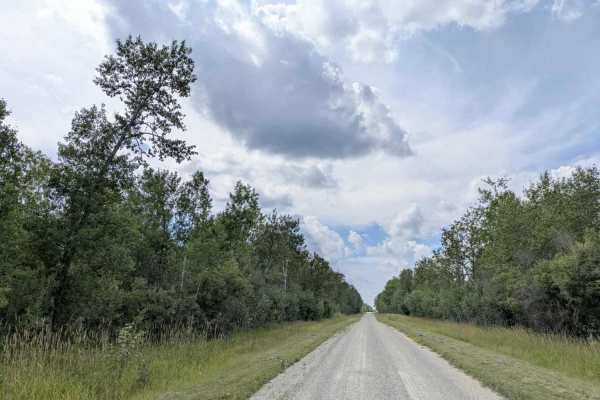
47th Street SW
This scenic trail, also known as Forest Lake Road, is a wide, well-maintained gravel surface that allows for two-way traffic. While generally smooth, the gravel can be thick and loose in certain sections, creating potentially slippery conditions that warrant slower driving. The trail tends to be dry...
Learn more about 47th Street SW

11th Street SW
This trail is accessed from a paved road and begins as a straight, overgrown two-track with a smooth gravel surface that has puddles and occasional potholes. It passes through a mix of forest, wetlands, and open meadows. Partway along, there is a clearing suitable for parking. The trail ends in a de...
Learn more about 11th Street SW
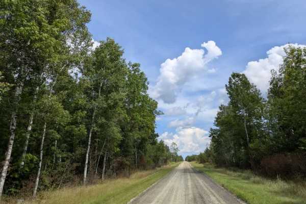
County Road 146
This wide, well-maintained gravel trail has a sandy surface in places and can be slippery. It winds through the forest in a series of zigzags, with several sharp 90-degree turns that require attentive driving. The route passes a mix of residential areas and farmland, so local traffic is possible, an...
Learn more about County Road 146
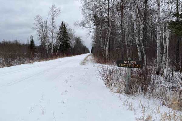
Nelson Forest Road
An easy gravel trail through forest and wetlands. The route is one to two vehicles wide with enough room to pass, but be careful of deep drainage ditches and soft shoulders on the side of the road, particularly in the north section of the trail. The start of the trail is clearly marked at each end w...
Learn more about Nelson Forest Road

Santa Anna Forest Road
This relatively short but fun trail is a well-maintained gravel road that passes through the Beltrami Island State Forest and the Beltrami Island Wildlife Management Area. It passes a wetland, but the road remains in good condition without any deviation. Beware of other adventurers on this route, as...
Learn more about Santa Anna Forest Road
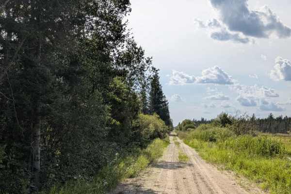
Rapid River Road
This is a very long, unmaintained two-track trail that should be traveled at your own risk. For much of its length, it runs smoothly through forested terrain, offering a generally scenic route. This trail also runs alongside the Beltrami Wildlife Management Area, so beware of wildlife crossing the t...
Learn more about Rapid River Road

Stoney Corners Trail
This trail is a long, mostly smooth route that is generally two-track and single-vehicle wide. It passes through areas of scrub and scenic forest, with a reservation running alongside much of its length. Several side trails branch from the main route, many of them overgrown and less frequently used....
Learn more about Stoney Corners Trail
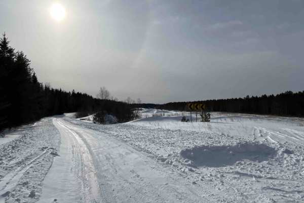
Hogsback-O'Brien Forest Road
Hogsback-O'Brien Trail is an old forest road dating back to the early homesteads and CCC camp in the area. It's an easy trail to drive with mostly flat terrain, but lots of windy turns through the forests and peat lands with good scenic views. From the east end, the trail is clearly marked with a Fo...
Learn more about Hogsback-O'Brien Forest Road
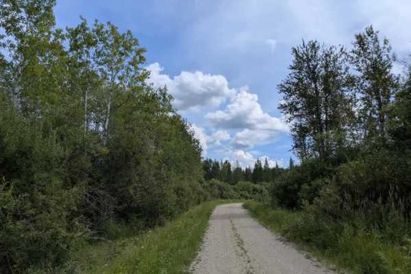
Pitt Grade Forest Trail
This 17-mile-long trail is mostly a smooth two-track route, single-vehicle wide, with some potholes scattered along its length. It winds through a mix of forest and scrub, offering a scenic drive and crossing at least one creek along the way. In certain areas, water lies beside the trail, so caution...
Learn more about Pitt Grade Forest Trail

Carps Trail
This trail serves as a connector to the Carp Pitt and Bemis trails. The main trail is well-maintained gravel, generally wide enough for two vehicles, and winds through the surrounding landscape. Numerous ATV trails branch off from the main route, and caution is advised due to the high volume of traf...
Learn more about Carps Trail

Carp Forest Road
This trail is a well-maintained gravel route, which is wide enough for two vehicles. The road winds through the Beltrami Island State Forest and the Beltrami Island Wildlife Management Area. Along the route, it passes a Polaris-sponsored trail camp that features an office, toilets, a water source, a...
Learn more about Carp Forest Road

Cole Forest Road
Cole Forest Road is a short, scenic trail through the forest and wetlands. The trail is a 1 to 2-vehicle-wide gravel trail. The trail connects to the Krull Trail and the surrounding Carp Pit Recreation area. From the east end, the trail is marked by a small sign that only says “Cole”, with a larger ...
Learn more about Cole Forest Road
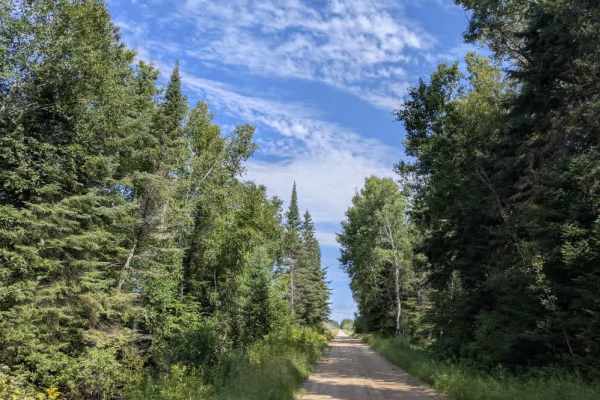
Faunce Forest Road
This long, arrow-straight trail is a well-maintained gravel route that is generally two vehicles wide. It passes through a mix of forest and open clearings, with sections that contain potholes and occasional puddles. A rustic campsite is located along the route, offering basic facilities such as tab...
Learn more about Faunce Forest Road

Tangnes Road
This trail begins by entering a forested area. It alternates between narrow single-vehicle sections and wider stretches suitable for two vehicles. The surface is well-maintained gravel, and the route is long enough to provide a varied drive. Residences are located near the starting point, so caution...
Learn more about Tangnes Road

Airport Road
A short trail through the woods that goes around the west end of the Norris landing strip. The edges of the landing strip are marked by yellow barriers at the east and west ends, and along the middle. The north end of the trail is next to the historic Norris CCC camp, dating back to the 1930s.
Learn more about Airport Road
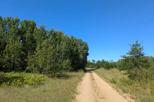
Swartz Forest Road
This trail is a narrow, sandy two-track that winds through forested terrain, with some sections running parallel to a lake and offering views of the water. The route has a scenic, natural feel and includes several side trails branching from the main path, one of which is a designated hiking trail. T...
Learn more about Swartz Forest Road

Ditch 10
This narrow two-track trail has a smooth sandy surface in places, along with muddy patches and wet potholes. It runs through shaded forest, with drainage ditches alongside the road in some sections, requiring caution. Overhanging tree branches create low clearances in parts of the route. The trail i...
Learn more about Ditch 10
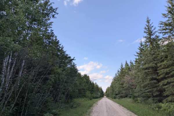
Bednar Forest Road
The main trail begins as a wide, well-maintained gravel road, suitable for two vehicles, though some sections are corrugated. It passes a few residences before intersecting with the Swartz Road Trail. From here, the route narrows to a single-vehicle width, continuing as a well-maintained gravel trac...
Learn more about Bednar Forest Road
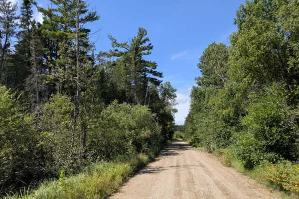
Faunce Butterfield Forest Road
This 19-mile trail is wide and well-maintained with a gravel surface and is generally smooth but has some gentle undulations along its length. It connects to the Hogsback O’Brien Trail and Butterfield Forest Road, with many smaller trails branching off from the main route. This trail is jam-packed w...
Learn more about Faunce Butterfield Forest Road
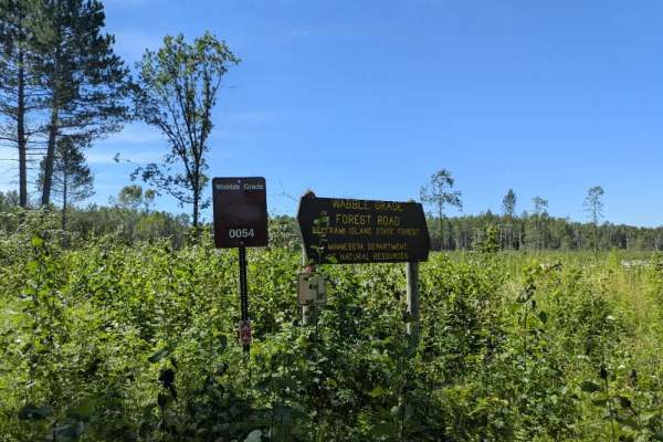
Wobble Grade Road
This trail begins as a narrow, single-vehicle route with a surface of gravel and sand. It winds through forested terrain, remaining generally flat and level for much of its length. Partway along, it crosses Forest Road 180, where caution is needed due to fast-moving local traffic. The route eventual...
Learn more about Wobble Grade Road
ATV trails near Baudette, Minnesota
Explore ATV-friendly trails near you. These trails are accessible for vehicles up to 50 inches wide, perfect for ATVs and smaller off-road machines.
47th Street SW
This scenic trail, also known as Forest Lake Road, is a wide, well-maintained gravel surface that allows for two-way traffic. While generally smooth, the gravel can be thick and loose in certain sections, creating potentially slippery conditions that warrant slower driving. The trail tends to be dry...
Learn more about 47th Street SW
11th Street SW
This trail is accessed from a paved road and begins as a straight, overgrown two-track with a smooth gravel surface that has puddles and occasional potholes. It passes through a mix of forest, wetlands, and open meadows. Partway along, there is a clearing suitable for parking. The trail ends in a de...
Learn more about 11th Street SW
County Road 146
This wide, well-maintained gravel trail has a sandy surface in places and can be slippery. It winds through the forest in a series of zigzags, with several sharp 90-degree turns that require attentive driving. The route passes a mix of residential areas and farmland, so local traffic is possible, an...
Learn more about County Road 146
Nelson Forest Road
An easy gravel trail through forest and wetlands. The route is one to two vehicles wide with enough room to pass, but be careful of deep drainage ditches and soft shoulders on the side of the road, particularly in the north section of the trail. The start of the trail is clearly marked at each end w...
Learn more about Nelson Forest Road
UTV/side-by-side trails near Baudette, Minnesota
Find UTV and side-by-side trails near you. These trails accommodate vehicles up to 60 inches wide, ideal for UTVs, side-by-sides, and wider off-road rigs.
47th Street SW
This scenic trail, also known as Forest Lake Road, is a wide, well-maintained gravel surface that allows for two-way traffic. While generally smooth, the gravel can be thick and loose in certain sections, creating potentially slippery conditions that warrant slower driving. The trail tends to be dry...
Learn more about 47th Street SW
11th Street SW
This trail is accessed from a paved road and begins as a straight, overgrown two-track with a smooth gravel surface that has puddles and occasional potholes. It passes through a mix of forest, wetlands, and open meadows. Partway along, there is a clearing suitable for parking. The trail ends in a de...
Learn more about 11th Street SW
County Road 146
This wide, well-maintained gravel trail has a sandy surface in places and can be slippery. It winds through the forest in a series of zigzags, with several sharp 90-degree turns that require attentive driving. The route passes a mix of residential areas and farmland, so local traffic is possible, an...
Learn more about County Road 146
Nelson Forest Road
An easy gravel trail through forest and wetlands. The route is one to two vehicles wide with enough room to pass, but be careful of deep drainage ditches and soft shoulders on the side of the road, particularly in the north section of the trail. The start of the trail is clearly marked at each end w...
Learn more about Nelson Forest Road
The onX Offroad Difference
onX Offroad combines trail photos, descriptions, difficulty ratings, width restrictions, seasonality, and more in a user-friendly interface. Available on all devices, with offline access and full compatibility with CarPlay and Android Auto. Discover what you're missing today!
Open Trail Map