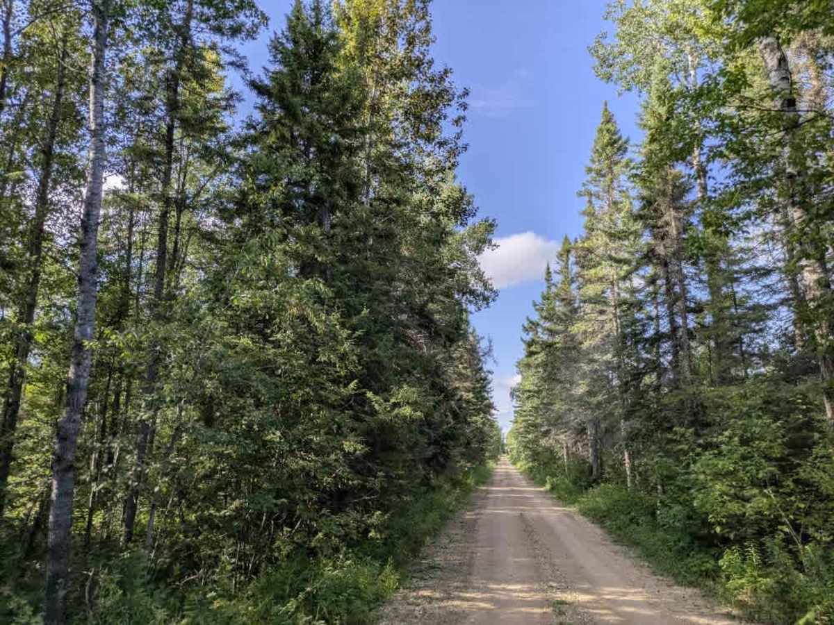
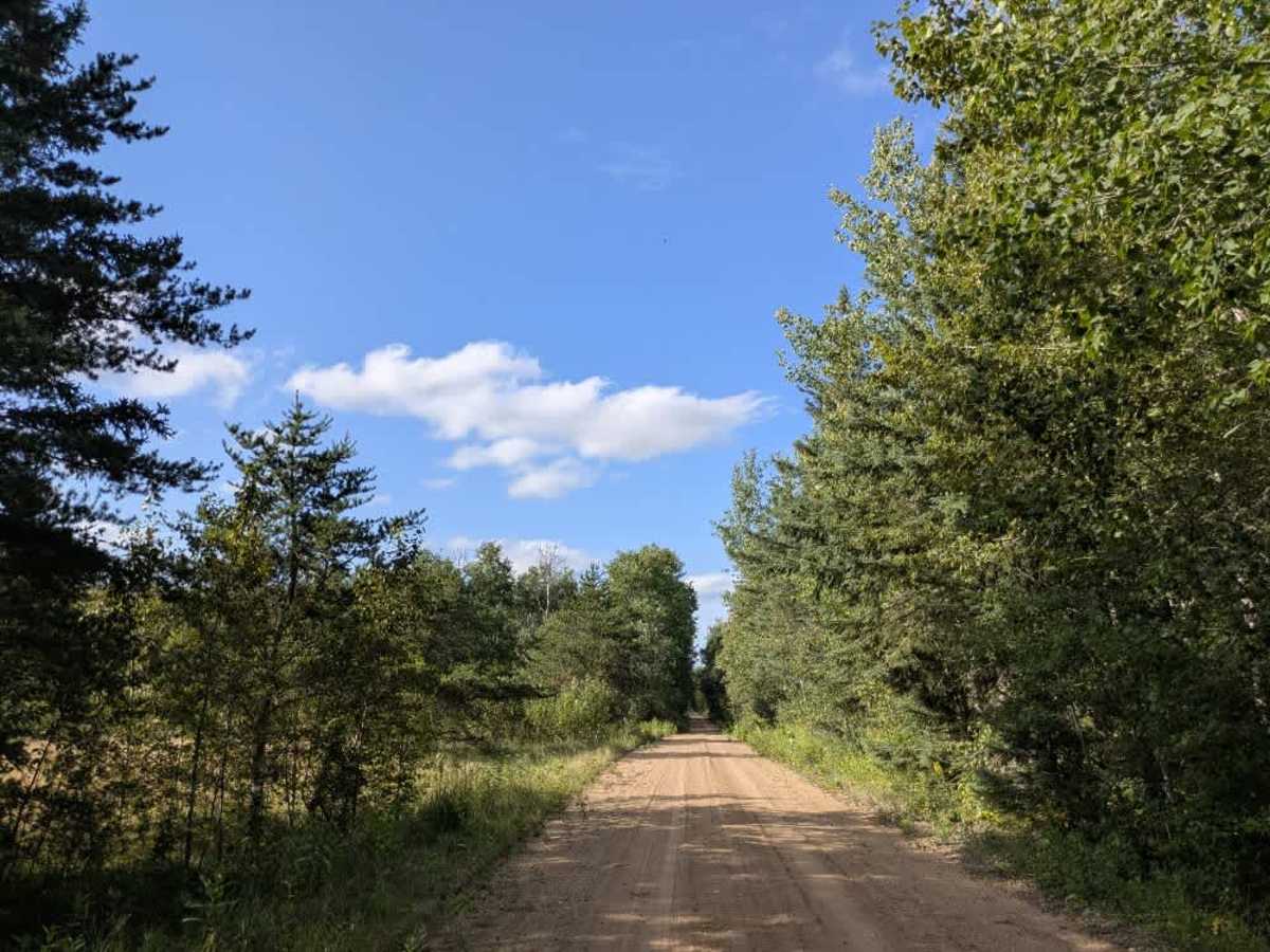
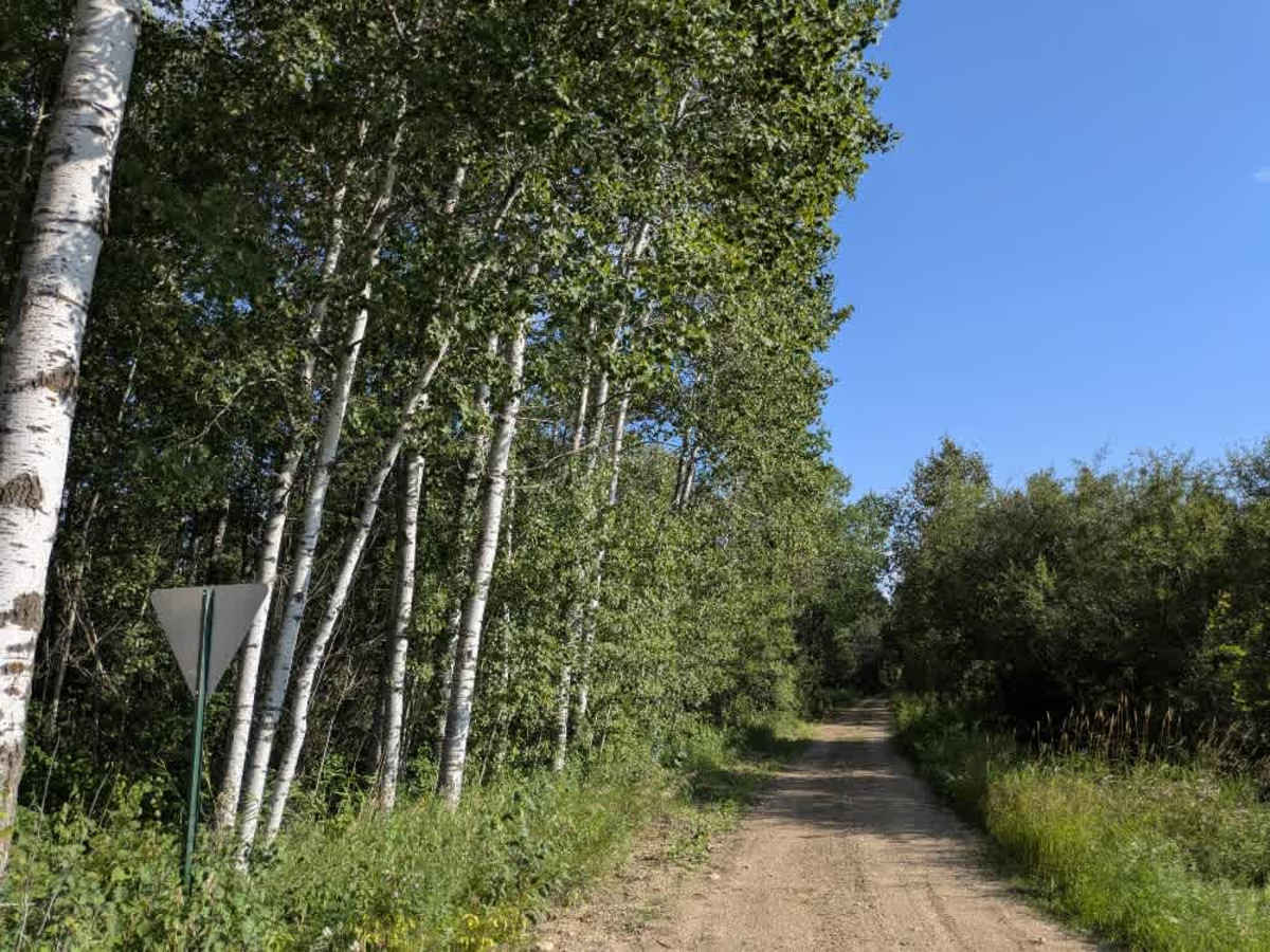
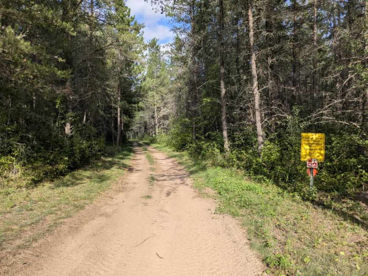
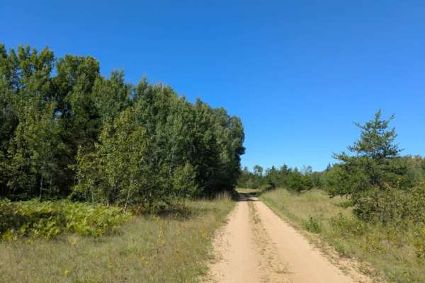
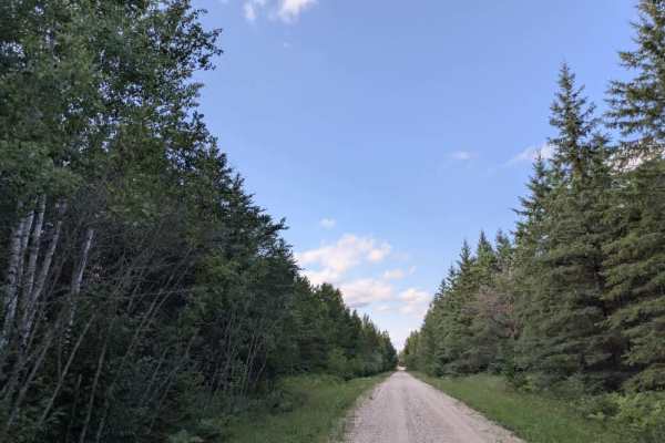
Trail Overview
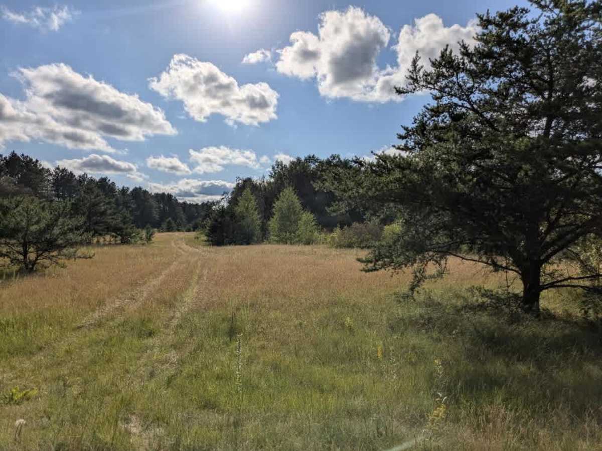
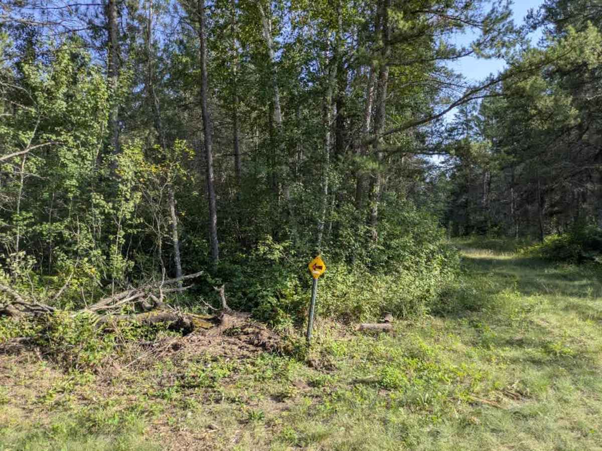
This narrow two-track trail has a smooth sandy surface in places, along with muddy patches and wet potholes. It runs through shaded forest, with drainage ditches alongside the road in some sections, requiring caution. Overhanging tree branches create low clearances in parts of the route. The trail is divided into two main sections, separated by its intersection with Bednar Road. One section is narrow and leads directly to the Bemis Carp Pitt Recreation Area, while the other is wider, still shaded, and features sandy stretches. In this wider section, there is a large clearing that serves as a convenient parking and offloading area for ATVs. Several smaller trails branch off from the main route, offering additional riding options. Local traffic, along with ATV and side-by-side use, is common, so drivers should remain alert. The trail offers no dispersed or formal campsites and lacks amenities such as trash disposal and a water supply, and cell service may be limited.
Difficulty
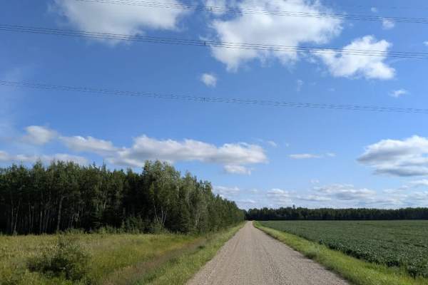
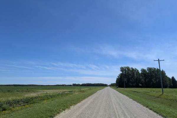
This forest trail is well-maintained and used daily by residents and adventurers. The route is wide and clear of debris, with established tread and minimal overgrowth, making it ideal for a smooth and scenic drive.