
Dirt Bike Trails
Near Battle Mountain, Nevada
Explore All Dirt Bike Trails Near Battle Mountain, Nevada
Dirt Bike Trails Near Battle Mountain, Nevada
Discover the best dirt bike trails near you. Browse trail maps, check difficulty ratings, and find your next adventure — whether you're looking for a quick ride or an all-day expedition.
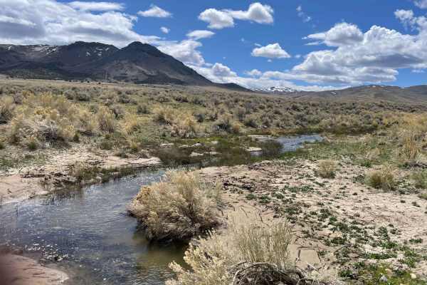
Spaulding Canyon Trail
This is a super easy trail, with tons of offroading to explore. When we did the trail the snow melt was in full swing tons of water flowing in creeks everywhere. There are tons of offroading to explore from this main trail. Lots of camping spots and just places to stop and explore as well.
Learn more about Spaulding Canyon Trail
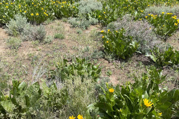
Sonoma Peak Access Trail
This is a dirt road. It is very rutted and uneven in spots. About midway through the trail the rise in elevation starts, and there are no real good places to turn around until you are actually near the top. You should not do this trail in bad weather because rain and thunder storms come out of nowhe...
Learn more about Sonoma Peak Access Trail
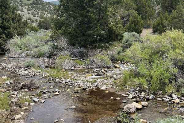
Sonoma Creek Trail
From Winnemucca head south on Grass Valley Road for approximately 14 miles trail starts on the left, there is a waypoint at the turnaround point, after this point there are several very sketchy water crossings, 4WD, Lockers, recommended if you want to go past this waypoint!
Learn more about Sonoma Creek Trail
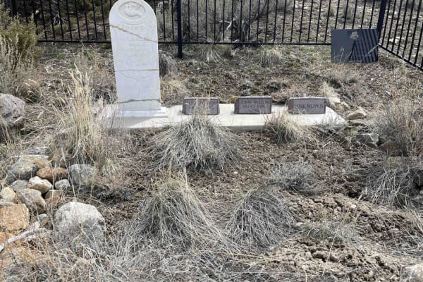
Dun Glen Trail
From Winnemucca head west on Rose Creek Road, and go south on Herschell for approximately 4.9 miles before asphalt runs to a maintained gravel road. Stay on this road for approximately 4.5 miles go west dun Dun Glen Road, this is where the trail begins and at this point is still gravel but unmaintai...
Learn more about Dun Glen Trail
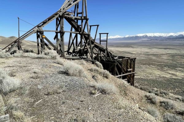
Alabama Mine Ruins
The first 21 miles are county-maintained gravel, the next 3.1 miles can be rough at times especially when wet, not recommended. 2WD high clearance most of the way, some fairly uneven areas but we did it all in 2WD in a Jeep. A little climb to the actual mine ruins, but doable in 2WD.
Learn more about Alabama Mine Ruins
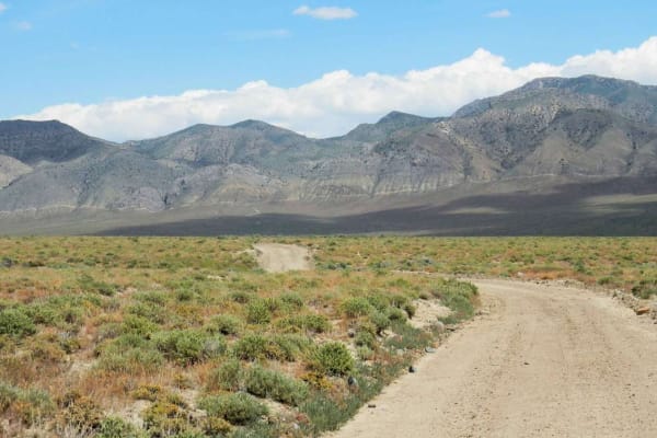
Granite Mountain Loop
The route passes several interesting sites, including springs, mine sites, and biplane U.S. Airmail Service beacon sites. The trail does not have any difficult obstacles unless wet. What makes it difficult is that it is 55 miles long and less than 15 MPH average speed for Street legal vehicles. Moto...
Learn more about Granite Mountain Loop
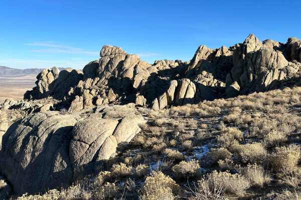
Davey Town Rocky Mountains
This is a rough road--super washed out in a lot of sections. If you start from Sand Pass Road out of Winnemucca, the first 5 miles are county-maintained packed gravel, but after that, it gets rough pretty fast. The views from the top with all the big rock formations are well worth the slow going.
Learn more about Davey Town Rocky Mountains
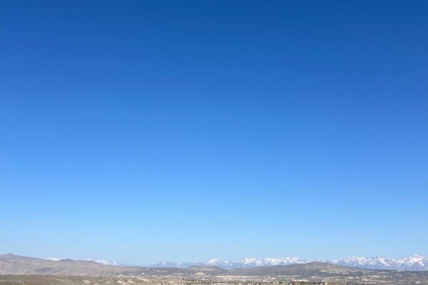
Adobe Heights Bypass
Adobe Heights Bypass is an easy trail that connects Mountain City Highway to North 5th Street in Elko, NV. This trail starts as a maintained gravel road and turns into an unmaintained dirt trail. The unmaintained section has some uneven areas with small ruts, but nothing crazy. You will follow power...
Learn more about Adobe Heights Bypass
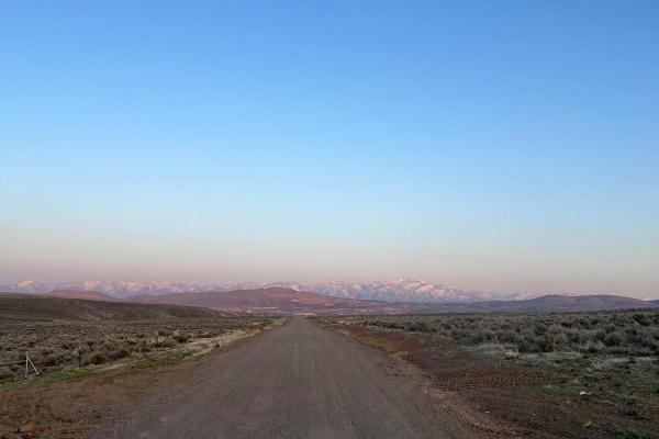
North 5th Street
North 5th Street is a maintained gravel road that is a little bumpy and washboard in areas. This trail travels North from Elko, Nevada, and ends at a small ski area with a small chairlift and rope tow. You will travel through the rolling hills of the high desert, which are covered with sagebrush and...
Learn more about North 5th Street
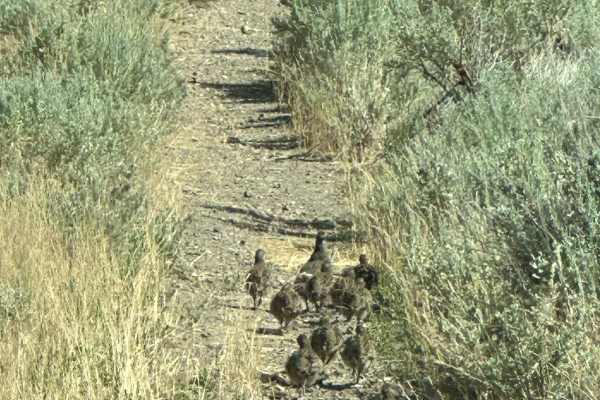
95-290 Loop
This trail is VERY overgrown for the first half of the trail. The trail fits a full-size vehicle but it will be tight and is not recommended for large vehicles. There is very dense growth on both sides of the trail, you WILL be getting some Nevada pinstriping!
Learn more about 95-290 Loop
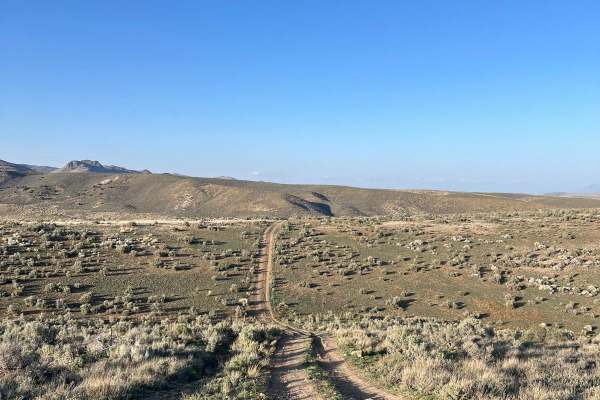
North 5th Street Side Connector
This fun side trail is just over 3 miles long, starting and ending on North 5th Street. The more southern section of this trail is fairly pretty with some small rocky and rutted areas. As you return to North 5th Street, this trail will have fun hill climbs and falls. This area will have a few minor ...
Learn more about North 5th Street Side Connector
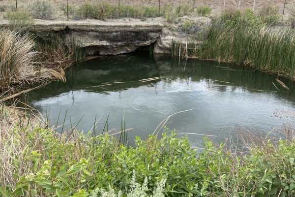
Old Man Canyon / Seven Devils Hot Springs
This trail starts with some fast dynamic driving through the washes in the alluvial fan coming off the Stillwater Range. After 2 miles, you'll come to Fencemaker Road, which is well-maintained and graded. This is the road that leads to the cellphone towers at the top of the mountain. Once you get to...
Learn more about Old Man Canyon / Seven Devils Hot Springs
Buena Vista Valley
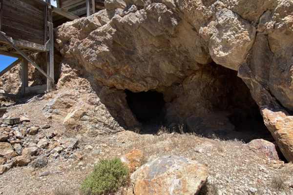
This is a fast route that will get you from the trailhead to the Stillwater Range. Both ends of this route have some interesting mercury mines that still have structures and the furnaces used to bake the Cinnabar ore in order to recover the mercury. Road is well maintained and graded.
Learn more about Buena Vista Valley
Silver Creek Road
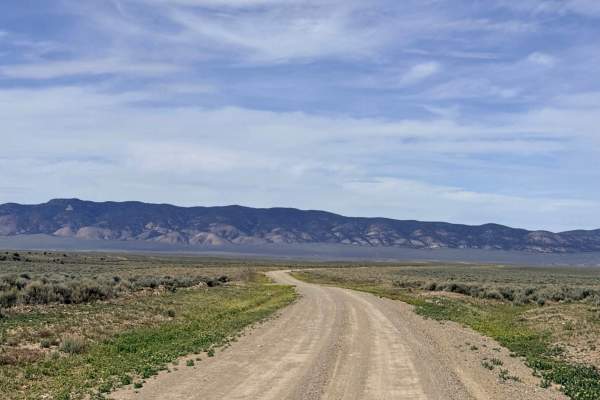
Silver Creek Road serves as a high-desert gateway, offering a well-maintained and relatively flat dirt route that connects Highway 305 to the historic Old Highway Road. This is an excellent entrance or exit point for those looking to transition from the main pavement into the deeper trail networks o...
Learn more about Silver Creek Road
North Last Chance Road
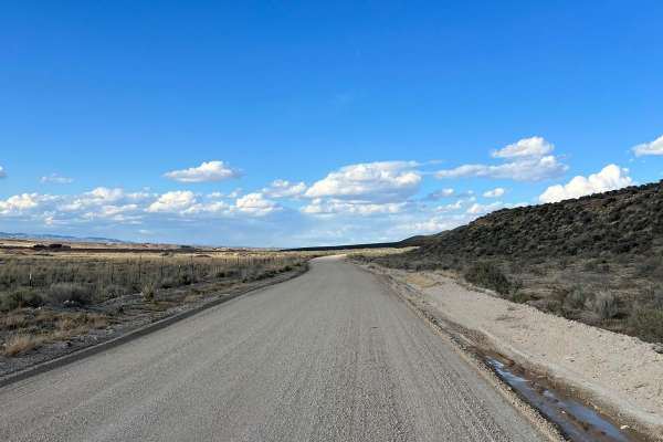
North Last Chance Road is a well-maintained gravel road. You will pass alongside residential areas, accompanied by ranch lands. Some places can be a little washboard and dusty. There is a good possibility you will see other rigs on this trail, so keep your eyes up.
Learn more about North Last Chance Road
Hinkey Summit Trail
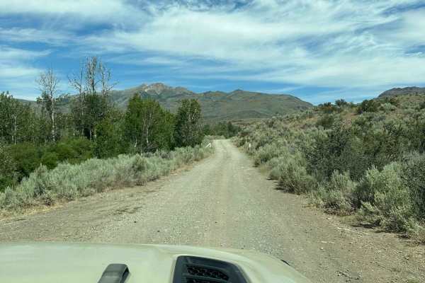
There is a lot to see on this trail; you rise to about 7,850 feet in elevation and have views all around. However, it's definitely not a winter or bad weather trail. You can reach the trail from either Paradise Valley, Nevada, or from Highway 95 near McDermitt, Nevada. This road can be closed from N...
Learn more about Hinkey Summit Trail
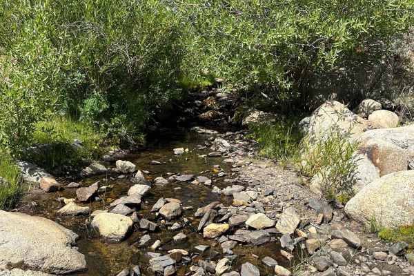
Abel Creek
This is an uneven dirt road, it's not difficult but does have some washouts and is pretty rutted. The road is kind of slow going and there are a lot of loose rocks and dips in this trail, no water crossing until the end, you can cross the creek and go up a little bit but not much further.
Learn more about Abel Creek
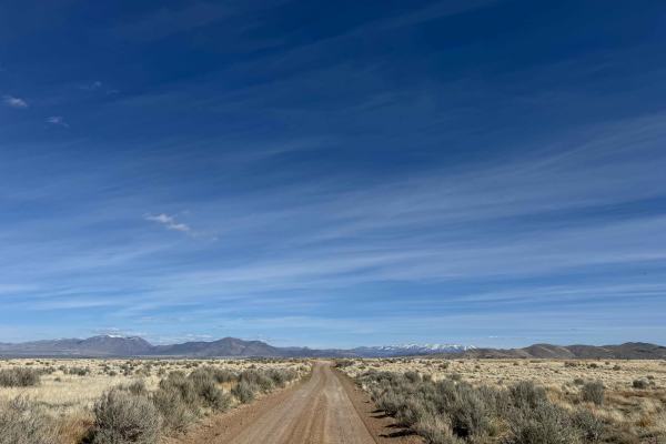
Four Mile Creek Road
This BLM road runs from Owyhee Road to SSR18, which leads you to the Historic Site of Winter's Ranch. It is a relatively smooth gravel road with a bridge over Four Mile Creek. Along this trail, you will have panoramic views of the surrounding mountain ranges, and you will drive across the dam of Dee...
Learn more about Four Mile Creek Road

Jumbo Mine Ruins
First 25 miles or so are county-maintained gravel. Open grazing and farmland so watch out for livestock. After you leave the gravel, the road is uneven rutted dirt, lots of wash out areas due to rain run off, not really a good trail in wet or snowy weather.
Learn more about Jumbo Mine Ruins
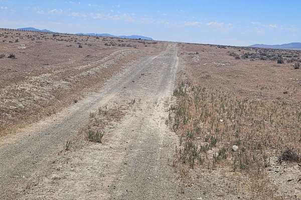
Gold Digger's Trail
Route is an off-road alternative that takes you between Rye Patch Reservoir and Pitt-Taylor Recreation area. Gold was first discovered in the Rye Patch area of Pershing County, Nevada, in the 1860s. Known for both lode and placer gold, the region’s dry, rocky terrain is particularly famous among mod...
Learn more about Gold Digger's Trail
ATV trails near Battle Mountain, Nevada
Explore ATV-friendly trails near you. These trails are accessible for vehicles up to 50 inches wide, perfect for ATVs and smaller off-road machines.
Spaulding Canyon Trail
This is a super easy trail, with tons of offroading to explore. When we did the trail the snow melt was in full swing tons of water flowing in creeks everywhere. There are tons of offroading to explore from this main trail. Lots of camping spots and just places to stop and explore as well.
Learn more about Spaulding Canyon Trail
Sonoma Peak Access Trail
This is a dirt road. It is very rutted and uneven in spots. About midway through the trail the rise in elevation starts, and there are no real good places to turn around until you are actually near the top. You should not do this trail in bad weather because rain and thunder storms come out of nowhe...
Learn more about Sonoma Peak Access Trail
Sonoma Creek Trail
From Winnemucca head south on Grass Valley Road for approximately 14 miles trail starts on the left, there is a waypoint at the turnaround point, after this point there are several very sketchy water crossings, 4WD, Lockers, recommended if you want to go past this waypoint!
Learn more about Sonoma Creek Trail
Dun Glen Trail
From Winnemucca head west on Rose Creek Road, and go south on Herschell for approximately 4.9 miles before asphalt runs to a maintained gravel road. Stay on this road for approximately 4.5 miles go west dun Dun Glen Road, this is where the trail begins and at this point is still gravel but unmaintai...
Learn more about Dun Glen Trail
UTV/side-by-side trails near Battle Mountain, Nevada
Find UTV and side-by-side trails near you. These trails accommodate vehicles up to 60 inches wide, ideal for UTVs, side-by-sides, and wider off-road rigs.
Spaulding Canyon Trail
This is a super easy trail, with tons of offroading to explore. When we did the trail the snow melt was in full swing tons of water flowing in creeks everywhere. There are tons of offroading to explore from this main trail. Lots of camping spots and just places to stop and explore as well.
Learn more about Spaulding Canyon Trail
Sonoma Peak Access Trail
This is a dirt road. It is very rutted and uneven in spots. About midway through the trail the rise in elevation starts, and there are no real good places to turn around until you are actually near the top. You should not do this trail in bad weather because rain and thunder storms come out of nowhe...
Learn more about Sonoma Peak Access Trail
Sonoma Creek Trail
From Winnemucca head south on Grass Valley Road for approximately 14 miles trail starts on the left, there is a waypoint at the turnaround point, after this point there are several very sketchy water crossings, 4WD, Lockers, recommended if you want to go past this waypoint!
Learn more about Sonoma Creek Trail
Dun Glen Trail
From Winnemucca head west on Rose Creek Road, and go south on Herschell for approximately 4.9 miles before asphalt runs to a maintained gravel road. Stay on this road for approximately 4.5 miles go west dun Dun Glen Road, this is where the trail begins and at this point is still gravel but unmaintai...
Learn more about Dun Glen Trail
The onX Offroad Difference
onX Offroad combines trail photos, descriptions, difficulty ratings, width restrictions, seasonality, and more in a user-friendly interface. Available on all devices, with offline access and full compatibility with CarPlay and Android Auto. Discover what you're missing today!
Open Trail Map