
Dirt Bike Trails
Near Barney's Junction, Washington
Explore All Dirt Bike Trails Near Barney's Junction, Washington
Dirt Bike Trails Near Barney's Junction, Washington
Discover the best dirt bike trails near you. Browse trail maps, check difficulty ratings, and find your next adventure — whether you're looking for a quick ride or an all-day expedition.
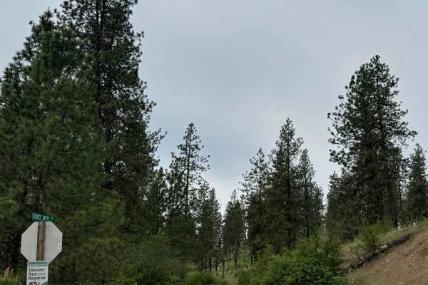
Bisbee Mountain Road
This trail is on Washington DNR Land, and a Discover Pass is required to enjoy this location. Beginning from Highway 20 in Kettle Falls, Washington, this trail is dirt-based with rocky sections and gradually climbs up the southwest side of Bisbee Mountain. The trail is narrow and one lane most of th...
Learn more about Bisbee Mountain Road
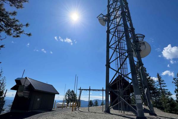
Radio Tower - FS 9500-585
This is a gravel-based trail that travels along a ridge of Bisbee Mountain on the State of Washington land. The trail is narrow and 2-track in most areas, but there were minimal ruts and a relatively smooth ride. The trail is flat for the most part and will take you past some radio towers that have ...
Learn more about Radio Tower - FS 9500-585
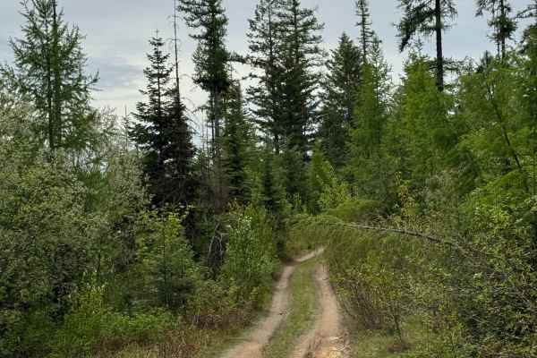
DNR Road E363717
This is a narrow, two-track road on Washington DNR Land. The trail is dirt-based with rocky sections and loose rock. It is extremely narrow, and there are few places to pass. Camping is available along this route within 100 feet of the road on either side, and you may stay up to 21 days. A Discover ...
Learn more about DNR Road E363717
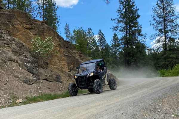
Rigley Lake
Rigley Lake offers miles of state DNR lands for riding. This route features a visit to Rigley Lake, then to the NW corner of the DNR lands for a viewpoint overlooking Lake Roosevelt National Recreation Area and into Canada. The route then heads down county roads to the Columbia River where OHVs have...
Learn more about Rigley Lake
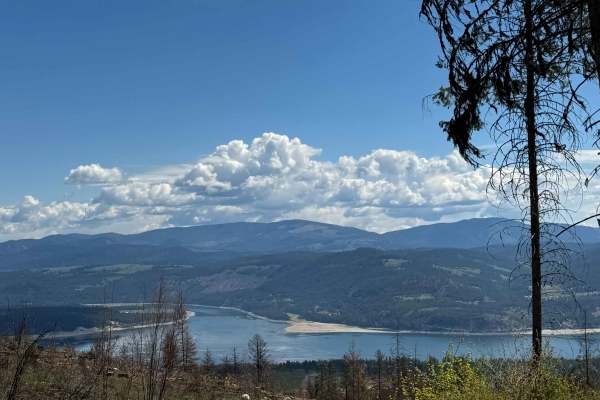
Nancy Creek Road
This is a gravel-based road through the State of Washington owned land. The trail climbs gradually to Bisbee Mountain, gaining approximately 1,973 feet in elevation. The trail is narrow with room for passing, and it is a shelf road in a few sections with ledges and switchbacks. There was minimal was...
Learn more about Nancy Creek Road
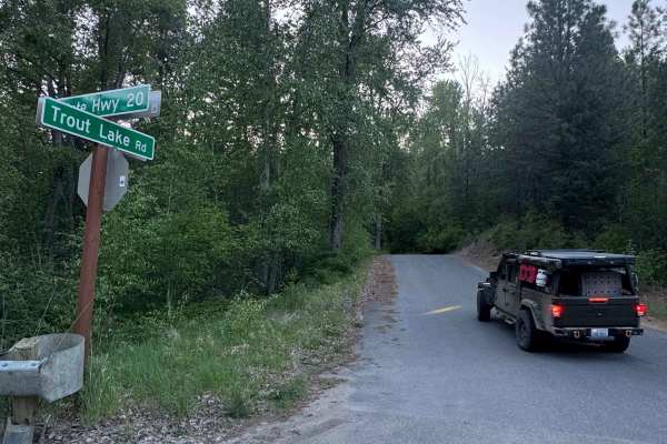
Trout Lake Road
This is a hard-packed, gravel forest road that leads from Highway 20 to Trout Lake and the campground. The trail is smooth with some potholes and washboard, but is suitable for any vehicle type. The trail is narrow in places with overgrown vegetation and places to pass. There are pull-off dispersed ...
Learn more about Trout Lake Road
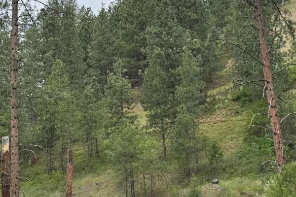
Coyote - FS 2000-085
This is a gravel-based forest road in the Coville National Forest. The road begins wide with some washboard sections, so airing down will make this much more enjoyable. After a short distance, the road narrows and becomes mostly two-track. There are minor ruts and washes along with some potholes on ...
Learn more about Coyote - FS 2000-085
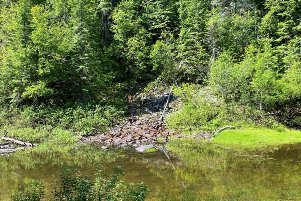
Donaldson Draw
Donaldson Draw is an easy, scenic gravel route ideal for beginners, families, and high-clearance vehicles seeking a relaxed ride to a beautiful viewpoint in the Kettle Range of the Colville National Forest. Originating near the South Huckleberry trails staging area, this well-maintained gravel road ...
Learn more about Donaldson Draw
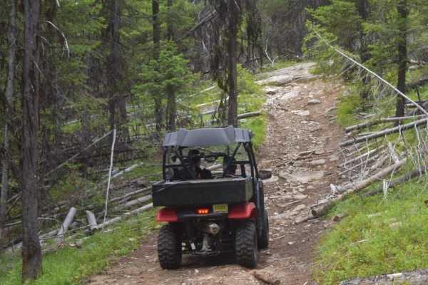
Twin Sisters Trail
Challenging trail for novice, less-experienced riders. Has a variety of small rocky ledges, steep pitches, and off-camber terrain to negotiate. Western end of route is less challenging than eastern half. Mountain trail with some open stretches for viewpoints. Mostly forested. Few pullouts, so be awa...
Learn more about Twin Sisters Trail
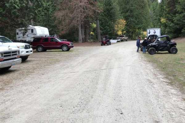
Mack King Trail
Challenging trail for novice, less-experienced riders. Has a variety of small rocky ledges, steep pitches, and off-camber terrain to negotiate. Western end of route is less challenging than eastern half. Mountain trail with some open stretches for viewpoints. Mostly forested. Few pullouts, so be awa...
Learn more about Mack King Trail
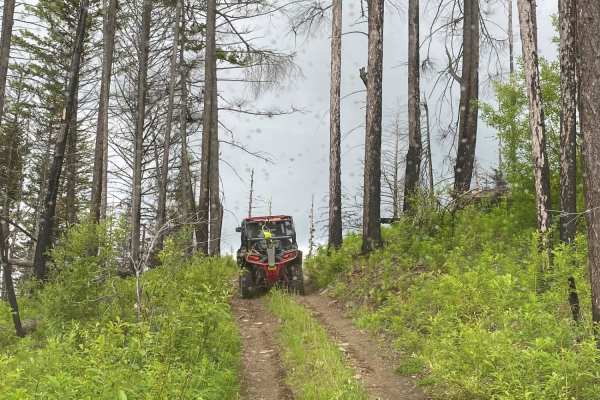
Thompson Ridge Trail
This is a short out and back trail that leads to a ridge top, with a short hike to the top. Smaller, two wheel drive quads may have a diffiuclt time on this route. Several off-camber, pitchy, rocky steps will challenge riders. Long wheel base 4-seat SxS's may also have difficulty negotiating tight t...
Learn more about Thompson Ridge Trail
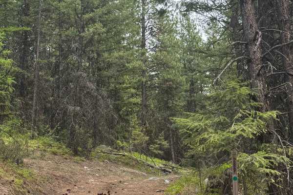
FS 2000-289
This is a dirt-based forest road in the Colville National Forest. The trail is narrow, one lane, and a two-track. The trail used to go further, but is now shortened due to washout and treefall. As you gradually climb, you will encounter ruts and wash up to a foot deep, and one section of rock garden...
Learn more about FS 2000-289
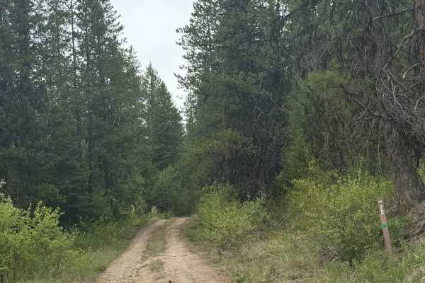
Upper Lane Creek - FS 2000-280
This is a dirt-based forest road in the Colville National Forest with minor ruts and wash. The trail climbs approximately 500 feet in elevation before ending at an earth barrier with a large boulder in the middle. The trail is a narrow, one-lane road with some places to pass. The vegetation around t...
Learn more about Upper Lane Creek - FS 2000-280
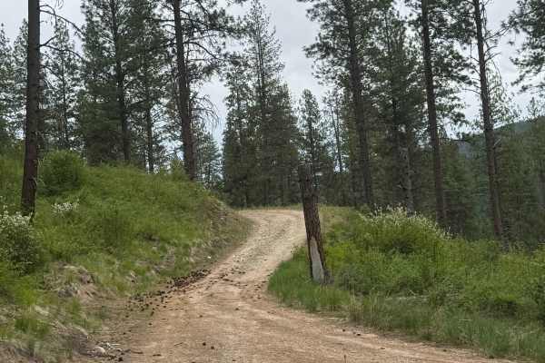
Powerline Road - FS 2000-092
This is a gravel forest road that transitions into dirt/sand. You will travel alongside power lines for much of the trail, which is narrow and one vehicle wide. There are minor ruts and wash, and just enough potholes to keep your speed down and make it a little bumpy. Camping is available along this...
Learn more about Powerline Road - FS 2000-092
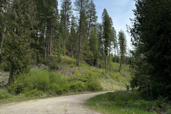
Lane Creek - FS 2000-220
This is a gravel-based forest road in the Colville National Forest. The road climbs gradually, gaining approximately 1,800 feet in elevation over more than 8 miles. There are minor ruts and washes along with washboard sections, so airing down your tires will make travel more pleasant. There are seve...
Learn more about Lane Creek - FS 2000-220
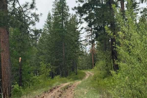
Hart Creek Ridge - FS 2000-325
This is a dirt-based forest road in the Colville National Forest. The trail is narrow and one lane wide, with most of it being a two-track with minor ruts/wash. The trail gradually climbs approximately 550 feet, and near the top, the views are tremendous and stretch out for miles. You will be able t...
Learn more about Hart Creek Ridge - FS 2000-325
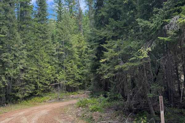
Bridge Creek - FS 2020-120
This is a dirt-based forest road that is narrow and one lane most of the way. The trail is two-track in some places, and there are multiple switchbacks and ledges with drop-offs. The trail has minor ruts and wash, but could be driven by any vehicle type. The trail gradually climbs, gaining approxima...
Learn more about Bridge Creek - FS 2020-120
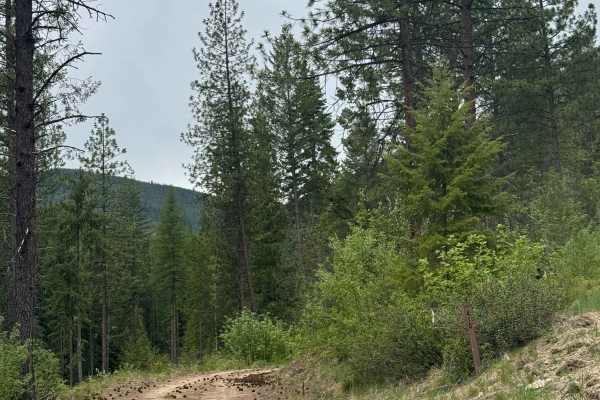
FS 2000-410
This Colville National Forest road starts gravel-based, then transitions to dirt. You will gradually climb, and some sections will have ledges with small drop-offs. There are some ruts and washouts in sections, but they are less than a foot deep and should cause no issue for any vehicle type. The ro...
Learn more about FS 2000-410
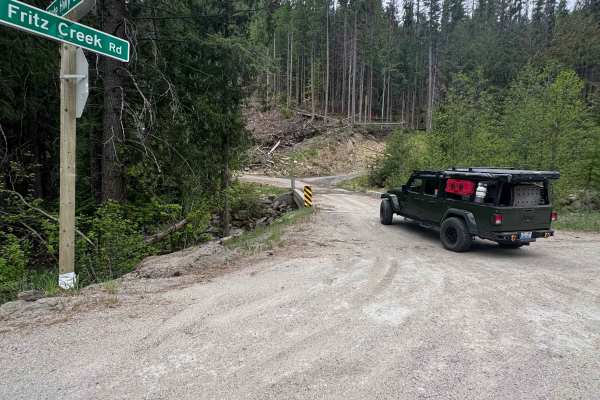
Fritz Creek - FS 2000-400
This is an easy gravel forest road in the Colville National Forest. As you turn onto the trail from Highway 20, you will cross a bridge over Fritz Creek. The trail gradually climbs approximately 1200 feet in elevation. The trail has washboard and rock garden sections, so it is recommended to air dow...
Learn more about Fritz Creek - FS 2000-400
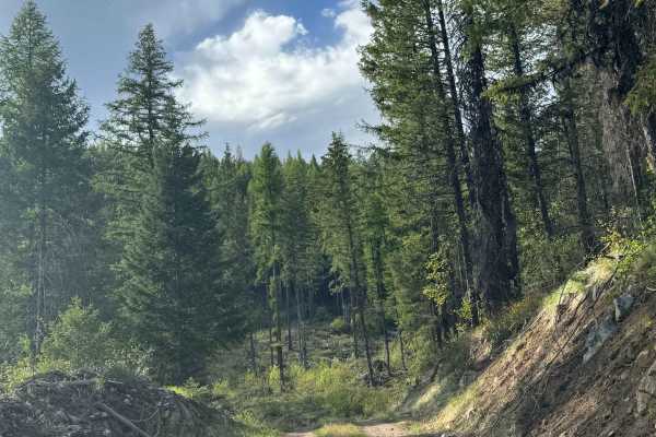
FS 2000-468
This is a dirt-based forest road in the Colville National Forest. The trail is mostly two-track and narrow at times, with places to pass. There are ruts and wash along the trail that are under a foot deep, and a couple of different muddy sections. There are beautiful views along this trail, and towa...
Learn more about FS 2000-468
ATV trails near Barney's Junction, Washington
Explore ATV-friendly trails near you. These trails are accessible for vehicles up to 50 inches wide, perfect for ATVs and smaller off-road machines.
Bisbee Mountain Road
This trail is on Washington DNR Land, and a Discover Pass is required to enjoy this location. Beginning from Highway 20 in Kettle Falls, Washington, this trail is dirt-based with rocky sections and gradually climbs up the southwest side of Bisbee Mountain. The trail is narrow and one lane most of th...
Learn more about Bisbee Mountain Road
Radio Tower - FS 9500-585
This is a gravel-based trail that travels along a ridge of Bisbee Mountain on the State of Washington land. The trail is narrow and 2-track in most areas, but there were minimal ruts and a relatively smooth ride. The trail is flat for the most part and will take you past some radio towers that have ...
Learn more about Radio Tower - FS 9500-585
DNR Road E363717
This is a narrow, two-track road on Washington DNR Land. The trail is dirt-based with rocky sections and loose rock. It is extremely narrow, and there are few places to pass. Camping is available along this route within 100 feet of the road on either side, and you may stay up to 21 days. A Discover ...
Learn more about DNR Road E363717
Rigley Lake
Rigley Lake offers miles of state DNR lands for riding. This route features a visit to Rigley Lake, then to the NW corner of the DNR lands for a viewpoint overlooking Lake Roosevelt National Recreation Area and into Canada. The route then heads down county roads to the Columbia River where OHVs have...
Learn more about Rigley Lake
UTV/side-by-side trails near Barney's Junction, Washington
Find UTV and side-by-side trails near you. These trails accommodate vehicles up to 60 inches wide, ideal for UTVs, side-by-sides, and wider off-road rigs.
Bisbee Mountain Road
This trail is on Washington DNR Land, and a Discover Pass is required to enjoy this location. Beginning from Highway 20 in Kettle Falls, Washington, this trail is dirt-based with rocky sections and gradually climbs up the southwest side of Bisbee Mountain. The trail is narrow and one lane most of th...
Learn more about Bisbee Mountain Road
Radio Tower - FS 9500-585
This is a gravel-based trail that travels along a ridge of Bisbee Mountain on the State of Washington land. The trail is narrow and 2-track in most areas, but there were minimal ruts and a relatively smooth ride. The trail is flat for the most part and will take you past some radio towers that have ...
Learn more about Radio Tower - FS 9500-585
DNR Road E363717
This is a narrow, two-track road on Washington DNR Land. The trail is dirt-based with rocky sections and loose rock. It is extremely narrow, and there are few places to pass. Camping is available along this route within 100 feet of the road on either side, and you may stay up to 21 days. A Discover ...
Learn more about DNR Road E363717
Rigley Lake
Rigley Lake offers miles of state DNR lands for riding. This route features a visit to Rigley Lake, then to the NW corner of the DNR lands for a viewpoint overlooking Lake Roosevelt National Recreation Area and into Canada. The route then heads down county roads to the Columbia River where OHVs have...
Learn more about Rigley Lake
The onX Offroad Difference
onX Offroad combines trail photos, descriptions, difficulty ratings, width restrictions, seasonality, and more in a user-friendly interface. Available on all devices, with offline access and full compatibility with CarPlay and Android Auto. Discover what you're missing today!
Open Trail Map