FS 2000-382

Total Miles1.8
Technical Rating
2Easy
Best TimeSpring, Summer, Fall, Winter
Trail TypeFull-Width Road
Accessible By
Open Trail Map

Trail Overview

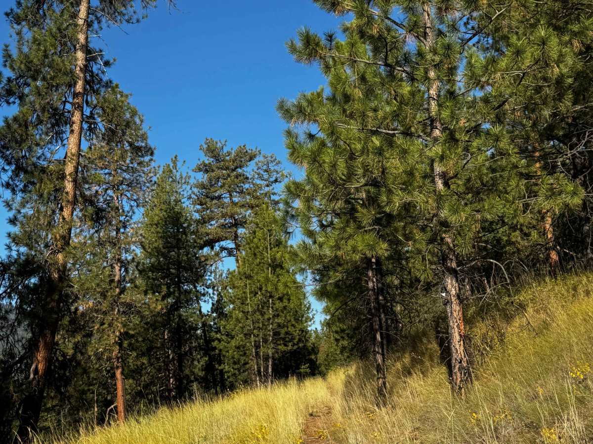
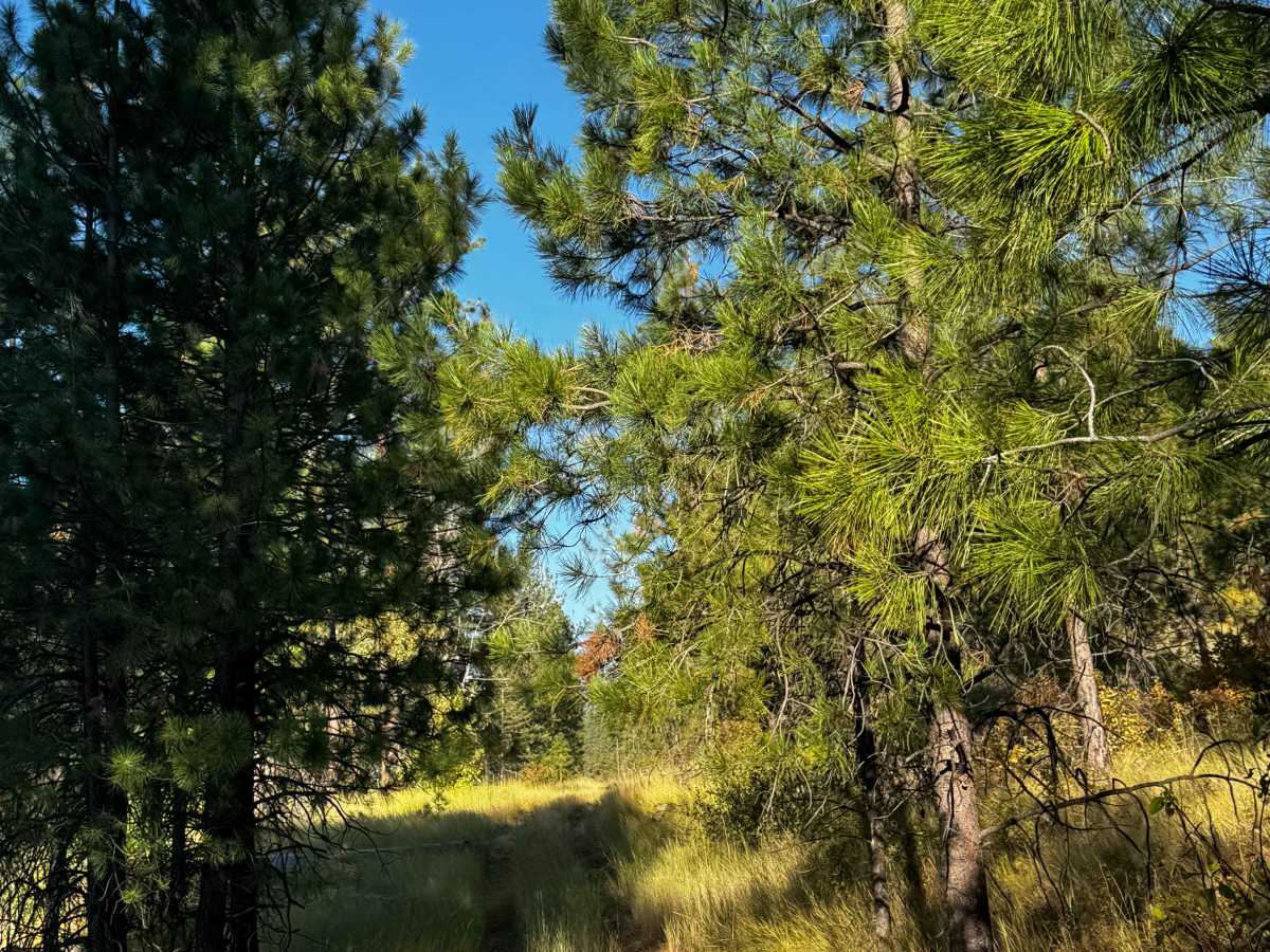
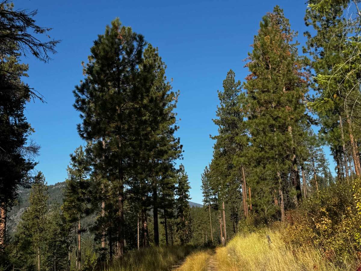
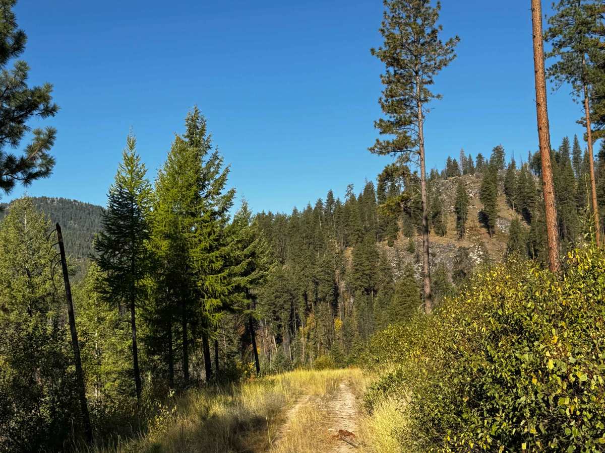
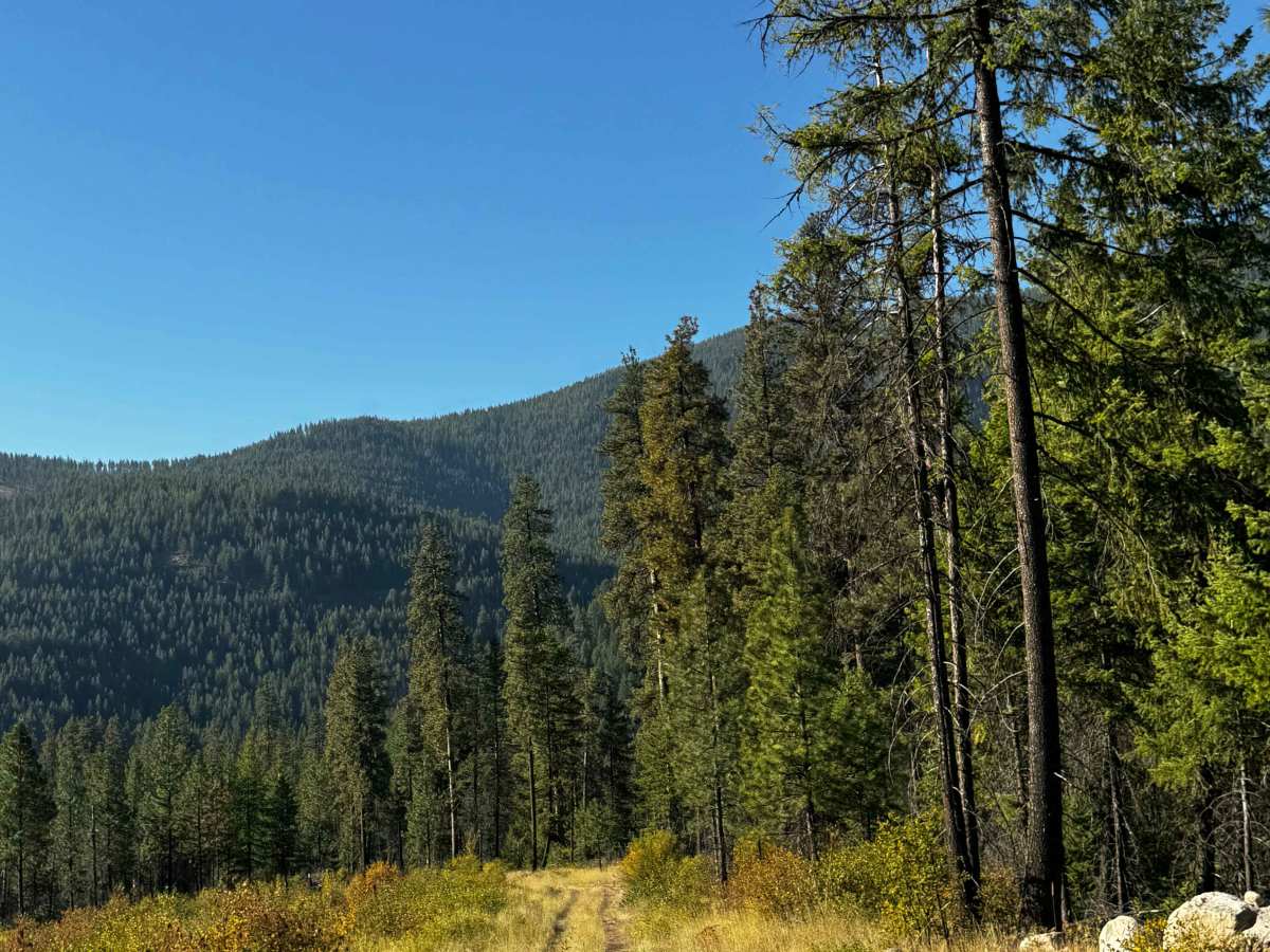
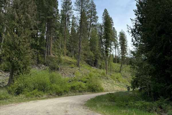
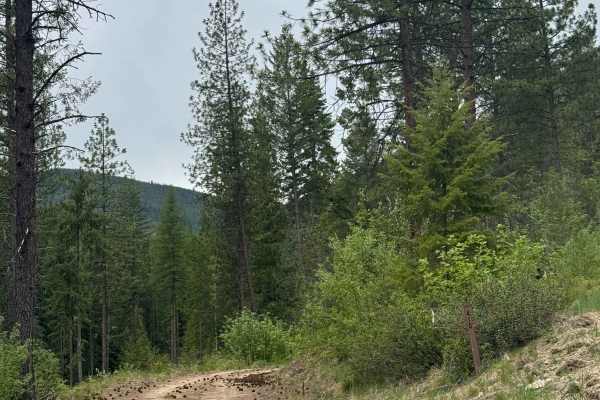
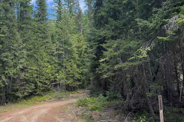
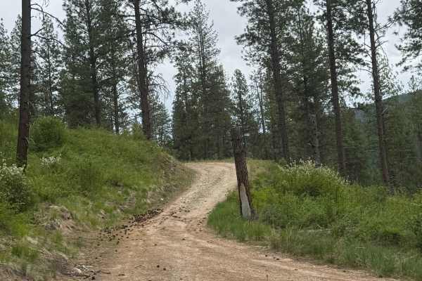
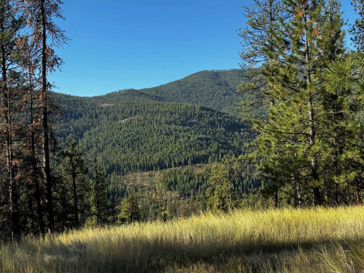
This is a gravel-based forest road that is narrow and one-vehicle-wide, with places to pass. The trail is mostly two-track and gradually climbs over 500 feet in elevation before ending in a dispersed campsite. The lower half of the trail travels parallel alongside a power line until you turn and climb above it. There are a few potholes and some humps/whoops to navigate, but overall this is an easy trail that is suitable for any vehicle type. Tall grass lines the trail, and you will have a good view of the ridges around you and of the night sky when weather permits. Camping is allowed, though there are no amenities on the trail, but the cell phone service is decent. From the start of this trail, you are approximately 15 minutes from the nearest services and supplies in Kettle Falls, Washington.

Photos of FS 2000-382

Difficulty

Easy, gravel-based forest road that runs alongside a power line, then climbs above it. There are potholes and humps/whoops, but this trail is suitable for any vehicle type.

Technical Rating

2

FS 2000-382 Trail can be accessed by the following ride types:

  • Single Track
  • 50 Inch
  • 60 Inch
  • High Clearance
  • Full Width

FS 2000-382 Map

The onX Offroad Difference

onX Offroad combines trail photos, descriptions, difficulty ratings, width restrictions, seasonality, and more in a user-friendly interface. Available on all devices, with offline access and full compatibility with CarPlay and Android Auto. Discover what you're missing today!

Open Trail Map