
Dirt Bike Trails
Near Bakersfield, Missouri
Explore All Dirt Bike Trails Near Bakersfield, Missouri
Dirt Bike Trails Near Bakersfield, Missouri
Discover the best dirt bike trails near you. Browse trail maps, check difficulty ratings, and find your next adventure — whether you're looking for a quick ride or an all-day expedition.
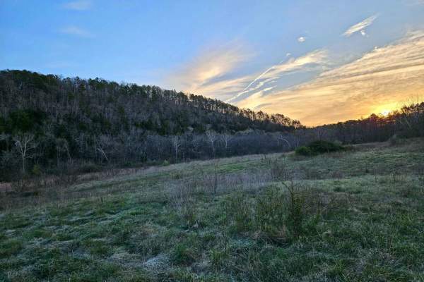
Hay Hollow
Hay Hollow FS 759 offers complex terrain, amazing views, historic sites, and fantastic camping. If running this trail from east to west, the trail starts with a large circle parking area (picnic table and fire pit). Follow a minor road where the actual trail begins. Immediately, you will cross Mine ...
Learn more about Hay Hollow
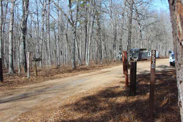
Sugar Hill Loop - FS 857B
Sugar Hill Loop (FS 857B) is a former paved campground road, now a gravel forest service road within the Noblett Lake Day Use Area in Willow Springs Unit of Mark Twain National Forest. The road begins heading north off the paved Noblett Lake Rec Area FS 857 that is used as the main road through Nobl...
Learn more about Sugar Hill Loop - FS 857B
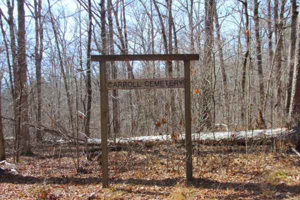
Stockman - FS 498
Stockman (FS 498), or Carroll Cemetery Road, is a gravel forest service road within the Noblett Day Use Area, part of the greater Willow Springs Unit of Mark Twain National Forest. The road begins heading south off the paved Noblett Lake Rec Area FS 857 that is used as the main road through Noblett ...
Learn more about Stockman - FS 498
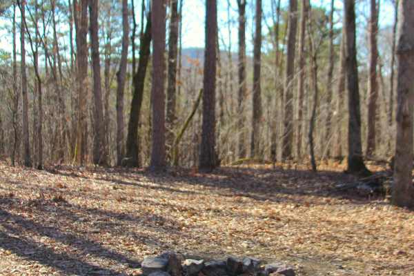
Peas Hollow - FS 421
Peas Hollow (FS 421) is a semi-maintained gravel Forest Service road within the Willow Springs Unit of Mark Twain National Forest. Peas Hollow logistically begins at South Route 181, heading westward into the forest featuring mild elevation changes, using the spines of the ridge tops as stepping sto...
Learn more about Peas Hollow - FS 421
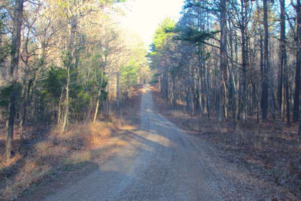
Duffy's Hollow - FS 419
Duffy's Hollow (FS 419) is a semi-maintained gravel Forest Service road within the Willow Springs Unit of Mark Twain National Forest. Duffy's Hollow starts on the ridge top, going north of Missouri Route South 181, also known as the Blue Buck Scenic Byway, heading northwest towards the Indian Creek,...
Learn more about Duffy's Hollow - FS 419
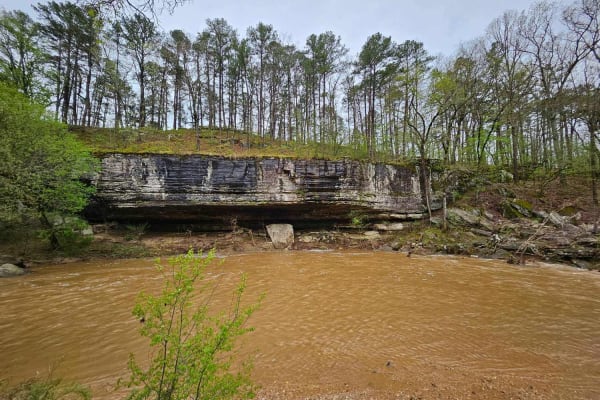
Clifty Creek
Clifty Creek is easy to spot when travelling down County Road W-269. It's an easy trail at the beginning, but soon the road develops a six-inch rut along the passenger side of the vehicle. The trail gradually descends and comes out on a point where you can see Clifty Creek on either side. You might ...
Learn more about Clifty Creek
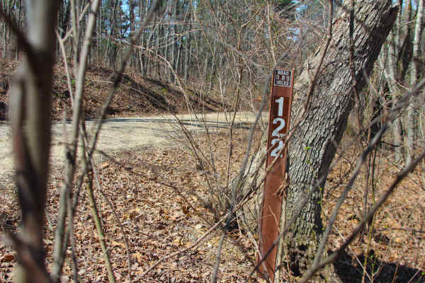
Overlook - FS 122
Overlook (FS 122) is a semi-maintained gravel Forest Service road within the Willow Springs Unit of Mark Twain National Forest. Overlook is the second offshoot of the FS 121, turning to the north, tracking down mildly eroded hill, passing the power line tract with a great view to the north of the va...
Learn more about Overlook - FS 122
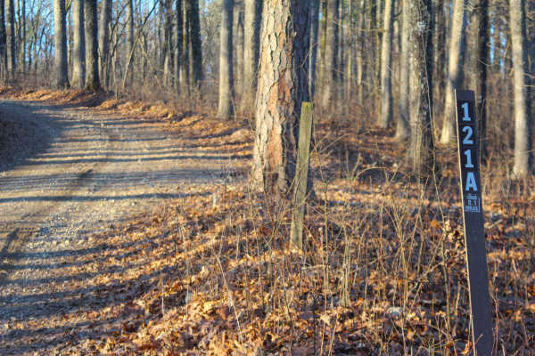
Blue Buck Tower Spur A - FS 121A
Blue Buck Tower Spur A (FS 121A) is a maintained gravel Forest Service road within the Willow Springs Unit of Mark Twain National Forest. Blue Buck Tower Spur A is the first offshoot of the FS 121, turning to the south, leading up a short, mildly eroded steep hill, before cresting the hill, to short...
Learn more about Blue Buck Tower Spur A - FS 121A
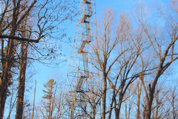
Blue Buck Tower - FS 121
Blue Buck Tower (FS 121) is a maintained gravel Forest Service road within the Willow Springs Unit of Mark Twain National Forest. The road to Blue Buck Tower is located west of South Missouri Route 181, between Missouri Route 76 to the north and the Route 181 junction with the AP Highway to the sout...
Learn more about Blue Buck Tower - FS 121
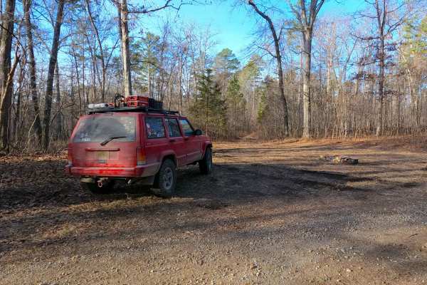
Duffy's Hollow Spur A - FS 419A
Duffy's Hollow Spur A (FS 419A) is a natural terrain Forest Service Road within the Willow Springs Unit of Mark Twain National Forest. The Duffy's Hollow Spur A starts at a small rock fire ring opening along the Duffy's Hollow (FS 419) heading west-southwest along the raised ridge, quickly proving i...
Learn more about Duffy's Hollow Spur A - FS 419A
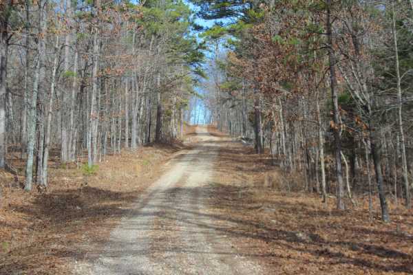
Twin Mountain - FS 418
Twin Mountain (FS 418) is a semi-maintained gravel Forest Service road within the Willow Springs Unit of Mark Twain National Forest. It logistically leaves the Missouri South Route 181/Blue Buck Knob scenic byway, heading south into the forest, first crossing a small valley with a water runoff washe...
Learn more about Twin Mountain - FS 418
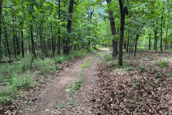
91017B
This route begins with direct access off Highway 341 and quickly transitions into a lightly maintained forest trail winding through dense pine and hardwood forest. Along the route, drivers will pass through open grassy meadows before re-entering tighter wooded sections with narrow corridors and over...
Learn more about 91017B
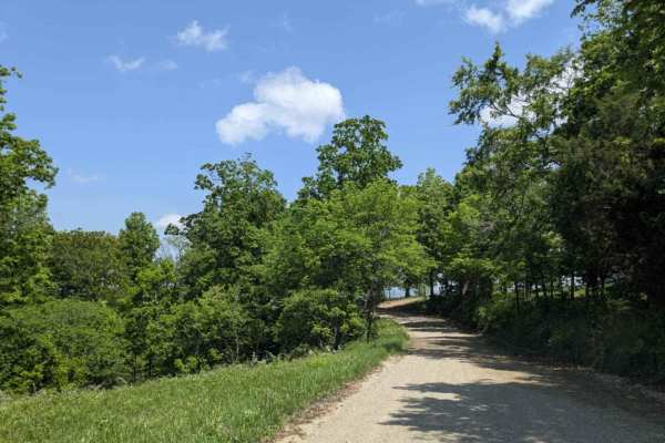
County Road 74
This trail offers both scenic beauty and a sense of historical significance as it climbs to the top of the mountain, where expansive views of the valley below reward the effort. Once an important route for the local community, it still passes numerous private properties, with old homesteads, derelic...
Learn more about County Road 74
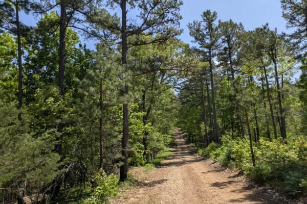
Merrill Ridge
This narrow trail features a grassy center and winds gently through a beautiful forest landscape. While mostly smooth, it does have some bumpy sections that require attention. Numerous offshoots and smaller trails invite further exploration, and the area appears to be a popular spot for local hunter...
Learn more about Merrill Ridge
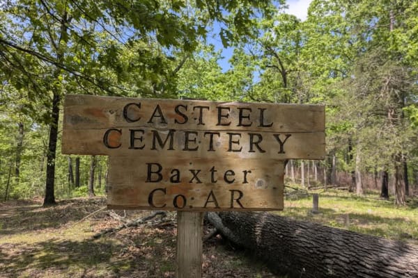
Casteel Road
This off-road trail is ideal for adventurers seeking dispersed camping opportunities, featuring a tight, winding route that remains accessible even as it branches into numerous side trails best explored by compact vehicles or side-by-sides. The trail follows along a scenic ridge and offers a predomi...
Learn more about Casteel Road
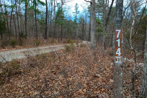
Robin Hood - FS 714
Robin Hood (FS 714) is a semi-maintained gravel Forest Service road within the Willow Springs Unit of Mark Twain National Forest. Robin Hood begins at the Howell County Road 5710 heading south into the forest, first descending a curvy hill overlooking a small water collection area to the southwest, ...
Learn more about Robin Hood - FS 714
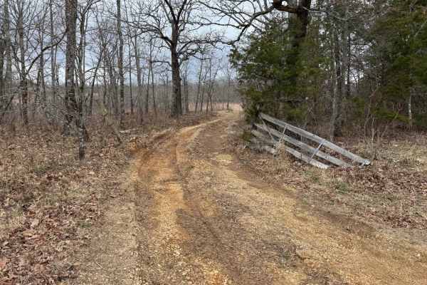
Bald Tower - FSR 148
Bald Tower - Forest Service Road (FSR) 148 is an out and back trail that leads you to an open area where you can see 2 radio towers. Due to the lack of travel in some spots the trail is hard to see, pay close attention to the tire tracks as best as you can. At the end you will have a scenic view of ...
Learn more about Bald Tower - FSR 148
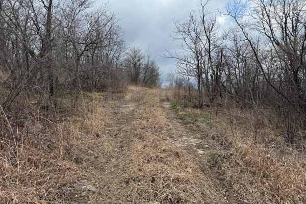
Washington Bald - FSR 148A
Washington Bald Forest Service Road (FSR) 148A is an offshoot trail from Bald Tower - FSR148. This trail will run you along a small rock shelf to an opening where you will have scenic views of the rolling hill and radio towers. There is a nice opening on the ridge where you can turn around.
Learn more about Washington Bald - FSR 148A
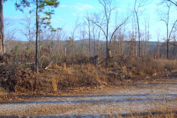
Bull Knot - FS 139
Bull Knot (FS 139) is a gravel Forest Service road within the Mark Twain National Forest Willow Springs Unit. Bull Knot heads southeast off Missouri Route 181, riding along the ridge, having scenic views of the surrounding knobs and tree lines, with a few small valleys, featuring mild grades, with f...
Learn more about Bull Knot - FS 139
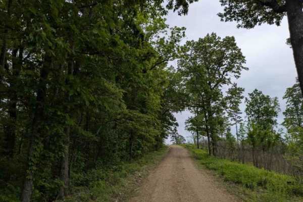
1119
Trail 1119 is a narrow, winding route that is well maintained but features frequent bumps, rocky sections, and visible storm damage in some areas. The trail includes several steep ascents and descents and appears to be a popular area for hunters. Dispersed campsites are available along the way, with...
Learn more about 1119
ATV trails near Bakersfield, Missouri
Explore ATV-friendly trails near you. These trails are accessible for vehicles up to 50 inches wide, perfect for ATVs and smaller off-road machines.
Hay Hollow
Hay Hollow FS 759 offers complex terrain, amazing views, historic sites, and fantastic camping. If running this trail from east to west, the trail starts with a large circle parking area (picnic table and fire pit). Follow a minor road where the actual trail begins. Immediately, you will cross Mine ...
Learn more about Hay Hollow
Sugar Hill Loop - FS 857B
Sugar Hill Loop (FS 857B) is a former paved campground road, now a gravel forest service road within the Noblett Lake Day Use Area in Willow Springs Unit of Mark Twain National Forest. The road begins heading north off the paved Noblett Lake Rec Area FS 857 that is used as the main road through Nobl...
Learn more about Sugar Hill Loop - FS 857B
Stockman - FS 498
Stockman (FS 498), or Carroll Cemetery Road, is a gravel forest service road within the Noblett Day Use Area, part of the greater Willow Springs Unit of Mark Twain National Forest. The road begins heading south off the paved Noblett Lake Rec Area FS 857 that is used as the main road through Noblett ...
Learn more about Stockman - FS 498
Peas Hollow - FS 421
Peas Hollow (FS 421) is a semi-maintained gravel Forest Service road within the Willow Springs Unit of Mark Twain National Forest. Peas Hollow logistically begins at South Route 181, heading westward into the forest featuring mild elevation changes, using the spines of the ridge tops as stepping sto...
Learn more about Peas Hollow - FS 421
UTV/side-by-side trails near Bakersfield, Missouri
Find UTV and side-by-side trails near you. These trails accommodate vehicles up to 60 inches wide, ideal for UTVs, side-by-sides, and wider off-road rigs.
Hay Hollow
Hay Hollow FS 759 offers complex terrain, amazing views, historic sites, and fantastic camping. If running this trail from east to west, the trail starts with a large circle parking area (picnic table and fire pit). Follow a minor road where the actual trail begins. Immediately, you will cross Mine ...
Learn more about Hay Hollow
Sugar Hill Loop - FS 857B
Sugar Hill Loop (FS 857B) is a former paved campground road, now a gravel forest service road within the Noblett Lake Day Use Area in Willow Springs Unit of Mark Twain National Forest. The road begins heading north off the paved Noblett Lake Rec Area FS 857 that is used as the main road through Nobl...
Learn more about Sugar Hill Loop - FS 857B
Stockman - FS 498
Stockman (FS 498), or Carroll Cemetery Road, is a gravel forest service road within the Noblett Day Use Area, part of the greater Willow Springs Unit of Mark Twain National Forest. The road begins heading south off the paved Noblett Lake Rec Area FS 857 that is used as the main road through Noblett ...
Learn more about Stockman - FS 498
Peas Hollow - FS 421
Peas Hollow (FS 421) is a semi-maintained gravel Forest Service road within the Willow Springs Unit of Mark Twain National Forest. Peas Hollow logistically begins at South Route 181, heading westward into the forest featuring mild elevation changes, using the spines of the ridge tops as stepping sto...
Learn more about Peas Hollow - FS 421
The onX Offroad Difference
onX Offroad combines trail photos, descriptions, difficulty ratings, width restrictions, seasonality, and more in a user-friendly interface. Available on all devices, with offline access and full compatibility with CarPlay and Android Auto. Discover what you're missing today!
Open Trail Map