
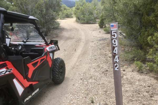
Dirt Bike Trails
Near Baker, Nevada
Explore All Dirt Bike Trails Near Baker, Nevada
Dirt Bike Trails Near Baker, Nevada
Discover the best dirt bike trails near you. Browse trail maps, check difficulty ratings, and find your next adventure — whether you're looking for a quick ride or an all-day expedition.
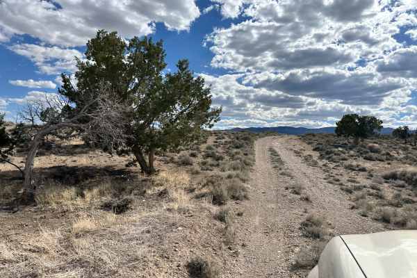
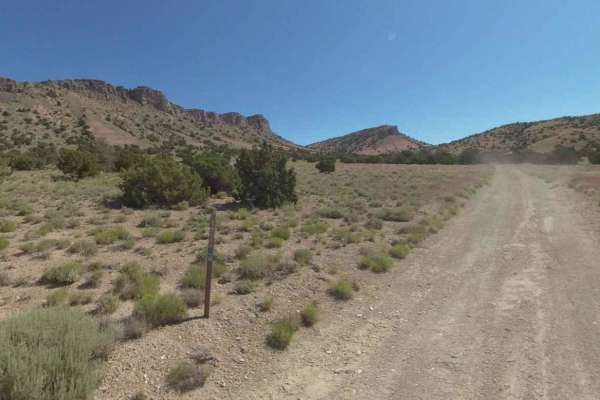
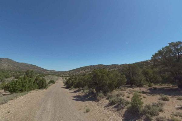
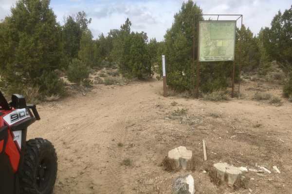
Lexington Trail
This trail is a tame trek through the Utah and Nevada desert near Garrison, Utah. This trail intersects with Lexington Creek and follows Lexington Creek Road to the trailhead for the Lexington Arch hike. The trail itself is fairly easy, with some washboard sections, with the most technical part bein...
Learn more about Lexington Trail
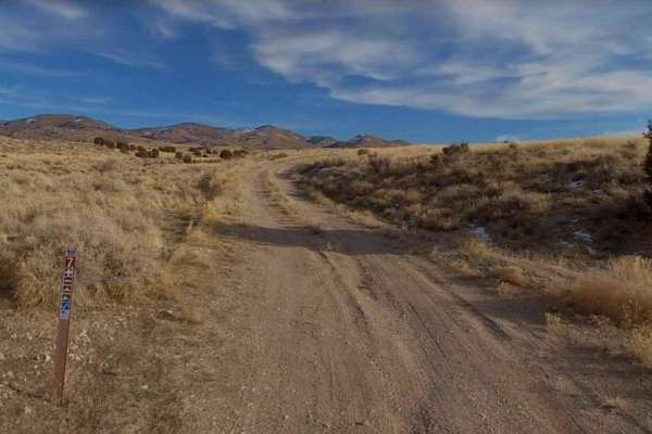
Burbank Hills Trail 7
Burbank Hills Trail 7 is a 23.4-mile loop trail rated 3 of 10 located in Millard County, Utah. This trail is a single-track with a dirt and rock base. Although this trail is open to all types of off-road vehicles it is probably best suited for ATV/UTVs. The Burbank Hills is a small northwest-southea...
Learn more about Burbank Hills Trail 7
Burbank Hills Trail 4
Burbank Hills Trail 4 is a 20.4-mile loop trail rated 3 out of 10 located in Millard County, Utah. This trail is a single track with a dirt and rock base. Although this trail is open to all types of off-road vehicles it is probably best suited for ATV/UTVs. The Burbank Hills is a small northwest-sou...
Learn more about Burbank Hills Trail 4
Conger Mountain OHV Route 1
The Cricket Mountains OHV Trails provide approximately 127 miles of trails, ranging from easy to difficult. There are 12 designated routes within the Conger Mountain OHV riding area. All routes within the trail network are marked with standard BLM trail designation signs. Located within the Conger M...
Learn more about Conger Mountain OHV Route 1
Conger Mountain OHV Route 8
The Cricket Mountains OHV Trails provide approximately 127 miles of trails, ranging from easy to difficult. There are 12 designated routes within the Conger Mountain OHV riding area. All routes within the trail network are marked with standard BLM trail designation signs. Located within the Conger M...
Learn more about Conger Mountain OHV Route 8
Conger Mountain OHV Route 2
The Cricket Mountains OHV Trails provide approximately 127 miles of trails, ranging from easy to difficult. There are 12 designated routes within the Conger Mountain OHV riding area. All routes within the trail network are marked with standard BLM trail designation signs. Located within the Conger M...
Learn more about Conger Mountain OHV Route 2
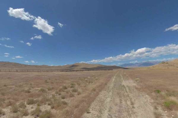
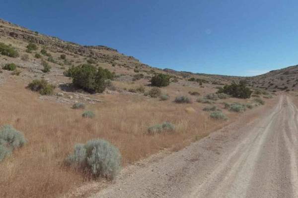
Valley View Road
Are you bored while driving on the freeway and wish there was a quick dirt road to get your mind off the drive? This road is perfect for you! Take a detour in the woods, find a camp spot to stay the night, enjoy beautiful views of the valley, and watch cars drive on the freeway while you're high up ...
Learn more about Valley View Road
Conger Mountain OHV Route 3
The Cricket Mountains OHV Trails provide approximately 127 miles of trails, ranging from easy to difficult. There are 12 designated routes within the Conger Mountain OHV riding area. All routes within the trail network are marked with standard BLM trail designation signs. Located within the Conger M...
Learn more about Conger Mountain OHV Route 3
Conger Mountain OHV Route 5
The Cricket Mountains OHV Trails provide approximately 127 miles of trails, ranging from easy to difficult. There are 12 designated routes within the Conger Mountain OHV riding area. All routes within the trail network are marked with standard BLM trail designation signs. Located within the Conger M...
Learn more about Conger Mountain OHV Route 5
Conger Mountain OHV Route 6
The Cricket Mountains OHV Trails provide approximately 127 miles of trails, ranging from easy to difficult. There are 12 designated routes within the Conger Mountain OHV riding area. All routes within the trail network are marked with standard BLM trail designation signs. Located within the Conger M...
Learn more about Conger Mountain OHV Route 6
Success Loop
The Success Loop is one of the most scenic drives in all of Nevada. The route runs along the Schell Creek Range of mountains and has incredible views. It is a scenic drive that starts at the valley floor before climbing a twisty route that crosses Success Summit and passes by Cave Lake. During the s...
Learn more about Success Loop
Farm View Road
A quick and simple road that can be done in any vehicle type, car, bike, horse, feet, or dog. You name it, you could ride it on here. If your tired of driving the freeway this is a great road to take a detour on. It has pretty views of the valley and farmland. Since it's mostly dirt, it can get mudd...
Learn more about Farm View Road
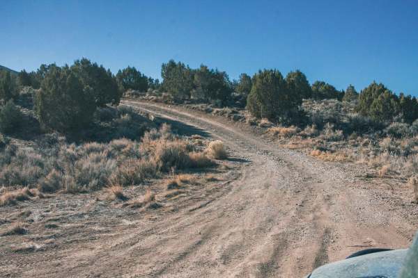
Legacy ATV Trail
This designated ATV (vehicles less than or equal to 50" in width) is part of the Ward Charcoal Ovens State Historical Park. The trail twists and turns through a dense stand of juniper and pine trees, with many short ascents and descents. The western limb of this trail traverses some steeper terrain ...
Learn more about Legacy ATV Trail
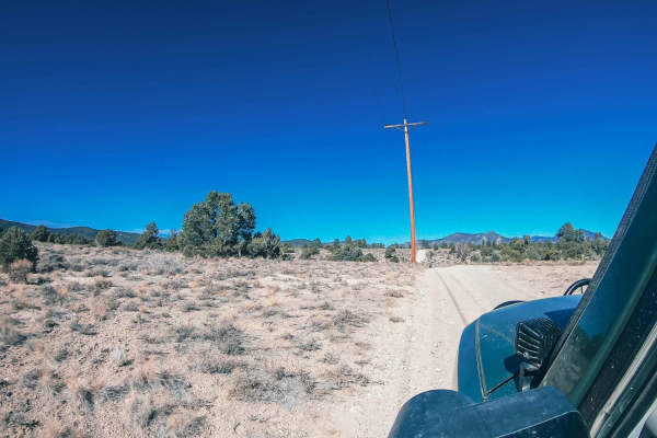
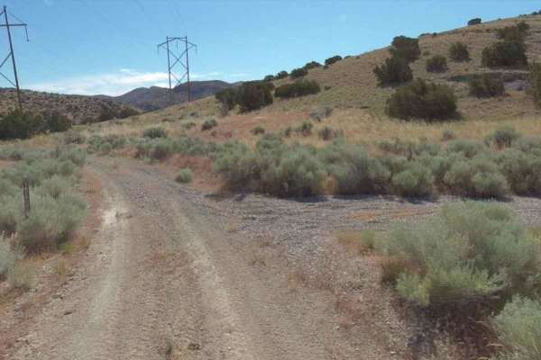
Powerline Road
Take a detour along the powerlines! There are hill climbs to test your vehicle and loose rock to slip around on. The road is easy, but the hill climbs and loose gravel make it more challenging for a 2WD vehicle. Please be mindful as this trail is behind private property, and the residents take these...
Learn more about Powerline Road
South Gallagher ATV Trail
This is a lightly traveled trail designated for ATVs (50" or less in width) and dirt bikes. The route travels through high desert terrain that alternates between open, lightly vegetated areas and dense stands of juniper and pine trees. The tread width is one line and can become narrow when winding t...
Learn more about South Gallagher ATV Trail
Side Canyon Road
The Side Canyon Road is a route between Miller Canyon and Amasa Canyon. This route starts at the bottom of a canyon and then climbs to some nice camping spots in the Amasa Valley. The route starts as an easy drive through the sandy wash, then as it climbs starts to become more technical as you encou...
Learn more about Side Canyon Road
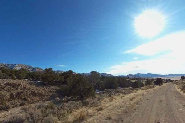
Ice Plant Springs Road
This is one of several roads that provide access to the Ice Plant ATV Loop. The road travels through a high desert environment with relatively dense juniper, pine trees, and sagebrush growth. The single-width tread comprises native gravels and soil with occasional rocks and ruts. This is a fairly ea...
Learn more about Ice Plant Springs Road
Ice Plant ATV Loop
This is an excellent trail for ATVs (vehicles 50" or less in width). It is labeled as Forest Service Trail #208. The trail is 5.7 miles long and travels over ridges and through ravines, generally through treed and rocky high desert terrain. For people who like a little challenge in their ride, th...
Learn more about Ice Plant ATV Loop
Patterson Pass Loop
The Patterson Pass Loop is a notable segment of the Silver State Off-Highway Vehicle (OHV) Trail in Nevada, offering enthusiasts a blend of challenging terrain and scenic landscapes. Given the elevation of approximately 6,165 feet at the Patterson Pass Campground, temperatures can vary significantly...
Learn more about Patterson Pass Loop
Ice Plant Road
This is an easy, fun ride through a small juniper and cedar tree stand. The tread is a single width composed of native dirt and gravel. The road rises to an elevation of about 7100 feet before intersecting with an ATV route open to vehicles of 50" or less in width. Panoramic views of the city of ...
Learn more about Ice Plant Road
ATV trails near Baker, Nevada
Explore ATV-friendly trails near you. These trails are accessible for vehicles up to 50 inches wide, perfect for ATVs and smaller off-road machines.
Lexington Trail
This trail is a tame trek through the Utah and Nevada desert near Garrison, Utah. This trail intersects with Lexington Creek and follows Lexington Creek Road to the trailhead for the Lexington Arch hike. The trail itself is fairly easy, with some washboard sections, with the most technical part bein...
Learn more about Lexington Trail
Burbank Hills Trail 7
Burbank Hills Trail 7 is a 23.4-mile loop trail rated 3 of 10 located in Millard County, Utah. This trail is a single-track with a dirt and rock base. Although this trail is open to all types of off-road vehicles it is probably best suited for ATV/UTVs. The Burbank Hills is a small northwest-southea...
Learn more about Burbank Hills Trail 7
Burbank Hills Trail 4
Burbank Hills Trail 4 is a 20.4-mile loop trail rated 3 out of 10 located in Millard County, Utah. This trail is a single track with a dirt and rock base. Although this trail is open to all types of off-road vehicles it is probably best suited for ATV/UTVs. The Burbank Hills is a small northwest-sou...
Learn more about Burbank Hills Trail 4
Conger Mountain OHV Route 1
The Cricket Mountains OHV Trails provide approximately 127 miles of trails, ranging from easy to difficult. There are 12 designated routes within the Conger Mountain OHV riding area. All routes within the trail network are marked with standard BLM trail designation signs. Located within the Conger M...
Learn more about Conger Mountain OHV Route 1
UTV/side-by-side trails near Baker, Nevada
Find UTV and side-by-side trails near you. These trails accommodate vehicles up to 60 inches wide, ideal for UTVs, side-by-sides, and wider off-road rigs.
Lexington Trail
This trail is a tame trek through the Utah and Nevada desert near Garrison, Utah. This trail intersects with Lexington Creek and follows Lexington Creek Road to the trailhead for the Lexington Arch hike. The trail itself is fairly easy, with some washboard sections, with the most technical part bein...
Learn more about Lexington Trail
Burbank Hills Trail 7
Burbank Hills Trail 7 is a 23.4-mile loop trail rated 3 of 10 located in Millard County, Utah. This trail is a single-track with a dirt and rock base. Although this trail is open to all types of off-road vehicles it is probably best suited for ATV/UTVs. The Burbank Hills is a small northwest-southea...
Learn more about Burbank Hills Trail 7
Burbank Hills Trail 4
Burbank Hills Trail 4 is a 20.4-mile loop trail rated 3 out of 10 located in Millard County, Utah. This trail is a single track with a dirt and rock base. Although this trail is open to all types of off-road vehicles it is probably best suited for ATV/UTVs. The Burbank Hills is a small northwest-sou...
Learn more about Burbank Hills Trail 4
Conger Mountain OHV Route 1
The Cricket Mountains OHV Trails provide approximately 127 miles of trails, ranging from easy to difficult. There are 12 designated routes within the Conger Mountain OHV riding area. All routes within the trail network are marked with standard BLM trail designation signs. Located within the Conger M...
Learn more about Conger Mountain OHV Route 1
The onX Offroad Difference
onX Offroad combines trail photos, descriptions, difficulty ratings, width restrictions, seasonality, and more in a user-friendly interface. Available on all devices, with offline access and full compatibility with CarPlay and Android Auto. Discover what you're missing today!
Open Trail Map