Success Loop

Total Miles16.4
Technical Rating
3Easy
Best TimeSpring, Summer, Fall
Trail TypeFull-Width Road
Accessible By
Open Trail Map

Trail Overview

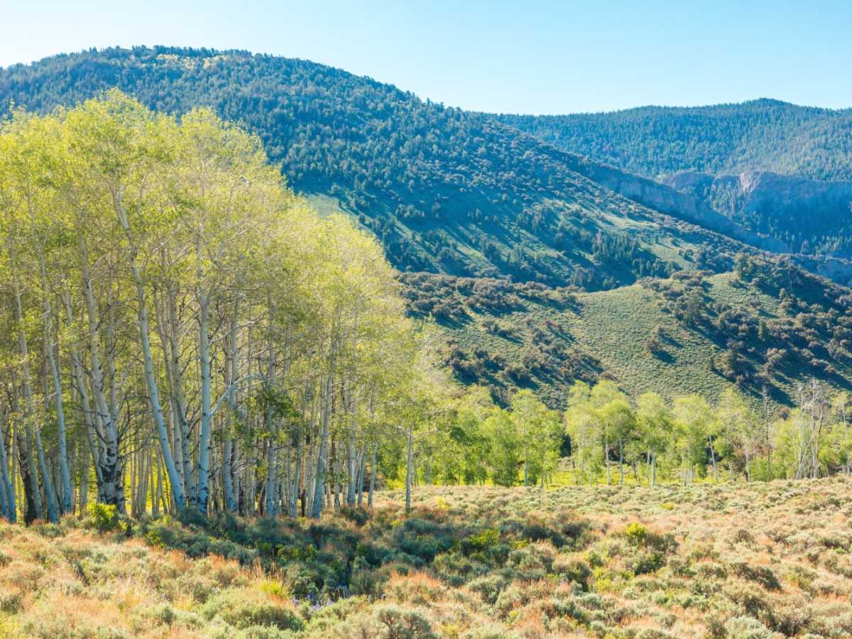
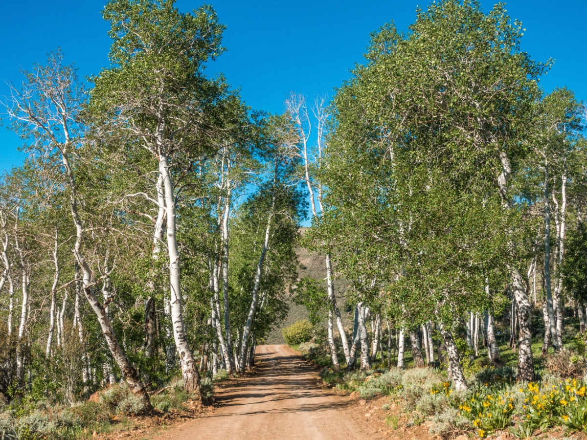
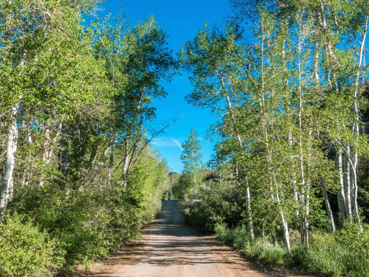
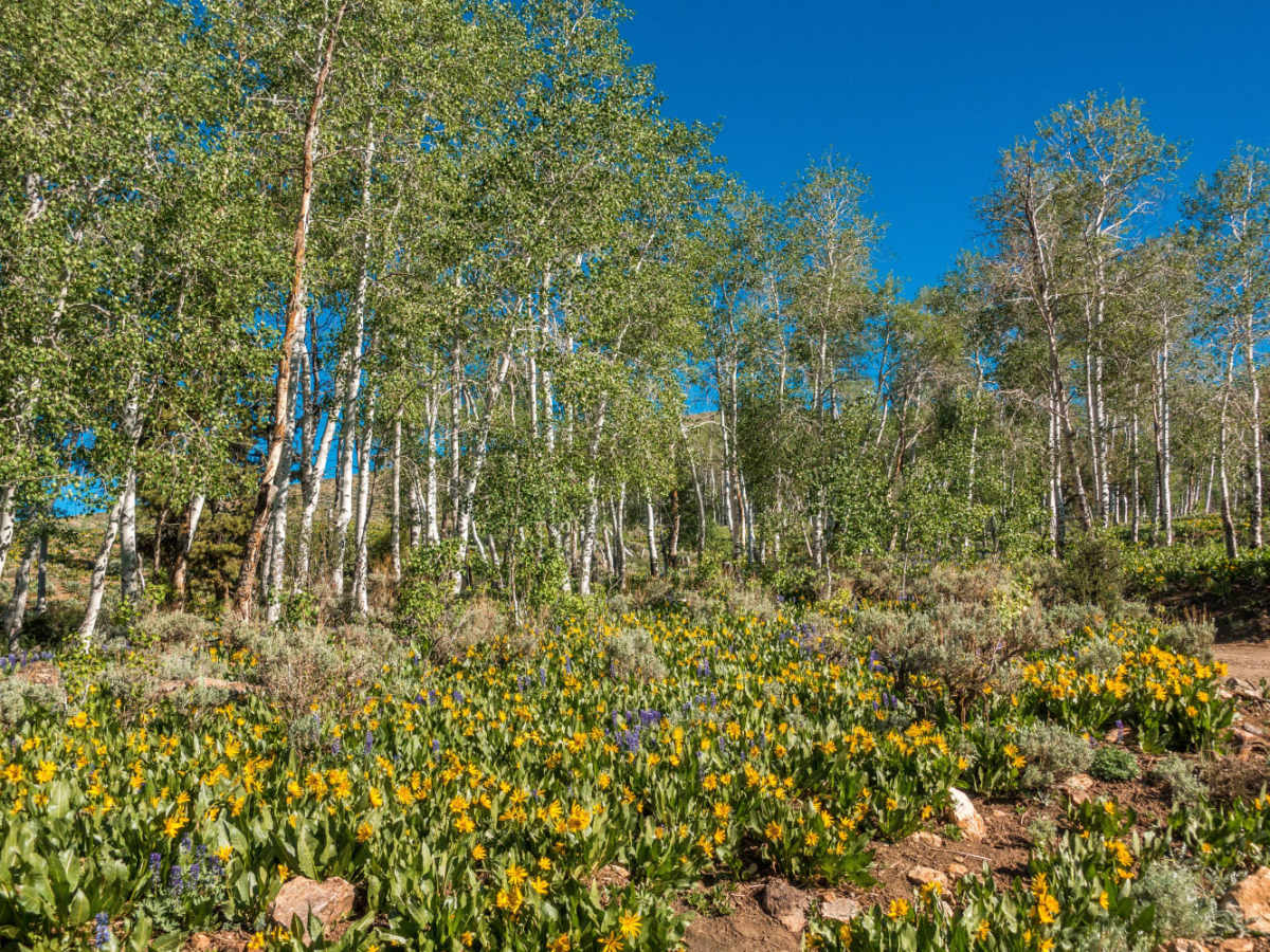
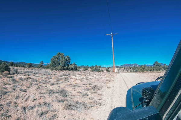
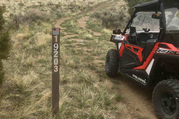
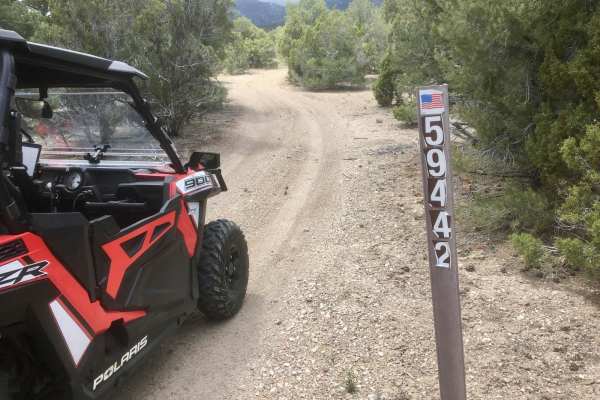
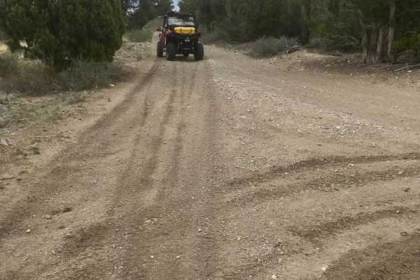
Success Loop is an exceptionally scenic mountain passage perfect for overlanders, stock four-wheel-drive vehicles, and SxSs looking to experience the breathtaking high-country landscapes of eastern Nevada’s Schell Creek Range. Spanning approximately 16.4 miles, this well-traveled dirt and gravel road winds through a striking transition of habitats, starting from the sagebrush-dominated valley floor and climbing up to an elevation of over 9,000 feet at Success Summit. Along the way, drivers are treated to sweeping vistas of rugged peaks, deep canyons, and lush woodlands filled with groves of aspen, pine, fir, and spruce. During the summer, the hillsides erupt with vibrant displays of yellow wyethia and purple lavender wildflowers, while autumn transforms the canyon into a spectacular corridor of gold and orange. With a technical rating of 3, the trail is generally accessible to most high-clearance vehicles and stock SUVs during dry conditions, though rain can quickly make the dirt surface slick and muddy. Navigating the route involves a steady climb with an elevation gain of over 1,800 feet, featuring gentle switchbacks and a maximum gradient of around 16 degrees. Wildlife viewing is a major highlight here, as the dense forests and open meadows are prime habitat for Rocky Mountain elk, mule deer, and various raptors. While the route is typically passable from late spring through fall, heavy snowpacks close Success Summit during the winter months, making seasonal checks essential before setting out. Nearby Cave Lake State Park offers excellent camping, fishing, and hiking opportunities, making this scenic drive an ideal centerpiece for a full day of outdoor exploration.

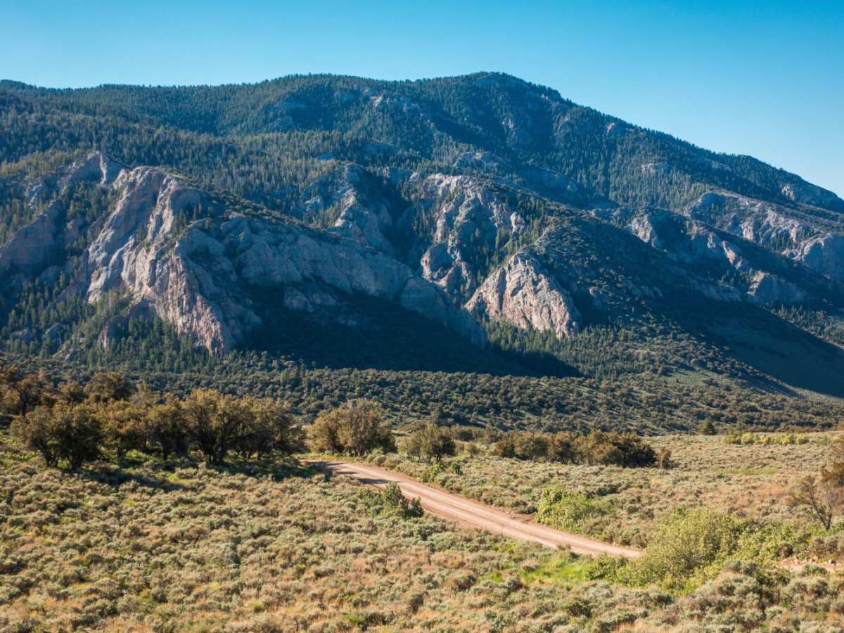
Photos of Success Loop

Difficulty

Winter months can have significant snow, check road conditions before attempting.

Technical Rating

3

Status Reports

Add Status Report
Keith A
Mar 29, 2026
2025 Jeep Rubicon
Open
Normal
Some very small remaining patches of snow with good tracks through them. No issue. Trails is in good condition.
Nathan G
Feb 09, 2026
Obstructed
Deep Snow
But wet going to the top. Snow started right before highest point and just continued over the North side of the pass. Managed to turn around and back track.
Chris Kelley
Apr 30, 2025
2021 Ford F-Series
Obstructed
Two People One Brain Cell
Jan 02, 2025
Obstructed
Deep Snow
We had two 4x4 Tacos, 2000 and 2019 models. The 1st Gen got a battery check in around Lund coming up from Vegas. Left it over night at the Loves no problem in from of the burger joint. We decided to go up for the night and got to 8400 feet from the south entrance. We got the furthest... but got stuck at a point where there was a fairly gradual slope. Definitely dangerous. We got out with two traction boards, firewood using the crawl function, and dropping the tire pressure. Yes yes we are stupid but it was a good experience. Snow was about half way up my calves and below was ice we had to chip away at.
BadSquatch High Desert N NV
Oct 05, 2024
2024 Ford Bronco
Open
Dusty
Not necessary to air down or put into 4wd, but I did air down a bit just to make it more comfortable and used 4H (although totally not necessary). I found a little creek to cross, but that also was not necessary, just fun. Fall colors are great and the camping spots look good. Sites 1, 2, and 3 look like easier access for larger trailers and RVs, but there were smaller trailers throughout all the camping sites.
Scott Whitley
Sep 11, 2024
2019 Toyota Tacoma
Open
NormalDustyWashboard
Drove it from north to south
Steffen Weiss
Jul 30, 2023
Open
NormalDusty
Berts Shaye
Jul 11, 2023
Open
Normal
Michael Dobyns
Jun 12, 2023
2021 Ford Ranger
Obstructed
Deep Snow
Kirby Ward
May 01, 2023
2023 Jeep Wrangler
Open
Muddy/Wet

Success Loop Trail can be accessed by the following ride types:

  • Single Track
  • 50 Inch
  • 60 Inch
  • High Clearance
  • Full Width

Access Description

The route is managed by the Humboldt-Toiyabe National Forest and the Bureau of Land Management. No permits or fees are required to drive the road. The route is subject to seasonal closure due to heavy winter snow, typically blocking access over Success Summit from late autumn through late spring.

Success Loop Map

The onX Offroad Difference

onX Offroad combines trail photos, descriptions, difficulty ratings, width restrictions, seasonality, and more in a user-friendly interface. Available on all devices, with offline access and full compatibility with CarPlay and Android Auto. Discover what you're missing today!

Open Trail Map