
Dirt Bike Trails
Near Ashford, Washington
Explore All Dirt Bike Trails Near Ashford, Washington
Dirt Bike Trails Near Ashford, Washington
Discover the best dirt bike trails near you. Browse trail maps, check difficulty ratings, and find your next adventure — whether you're looking for a quick ride or an all-day expedition.
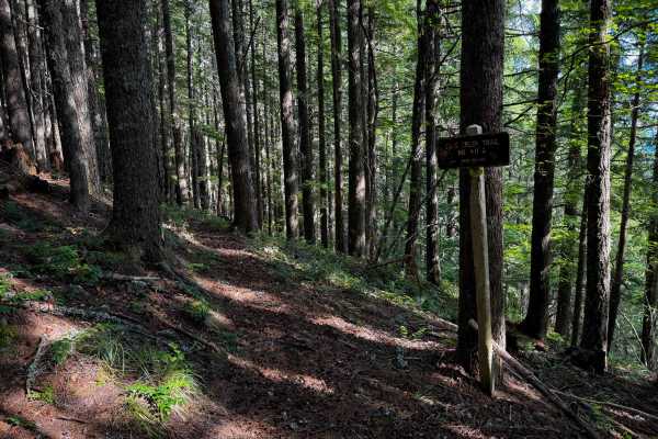
Cave Creek Trail
Cave Creek Trail is a short connector trail that accesses the midpoint of Osborne Mountain Trail. The south end of Cave Creek Trail starts at the end of Cave Creek Road, and it climbs north for a half mile to connect to Osborne Mountain Trail. The entire length of the route is a shelfy narrow trail ...
Learn more about Cave Creek Trail
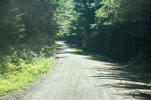
8 Road
This 2.7-mile point-to-point trail leads up to the Elbe Hills ORV park area. The Elbe Hills ORV park area has a campground and dispersed camping areas and requires the Washington State Discovery Pass. This is a maintained Forest Service road that is passable by 2WD, AWD, and 4WD vehicles. There is a...
Learn more about 8 Road
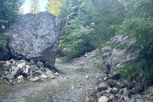
Cave Creek Trail
This 5.8 mile out and back trail is not heavily traveled with lots of overgrowth, do not attempt if you love your vehicles paint job. This trail has a few areas that is narrow for full sized vehicles. There are also areas with deep wash out on the side of the trail that a lower clearance vehicle cou...
Learn more about Cave Creek Trail
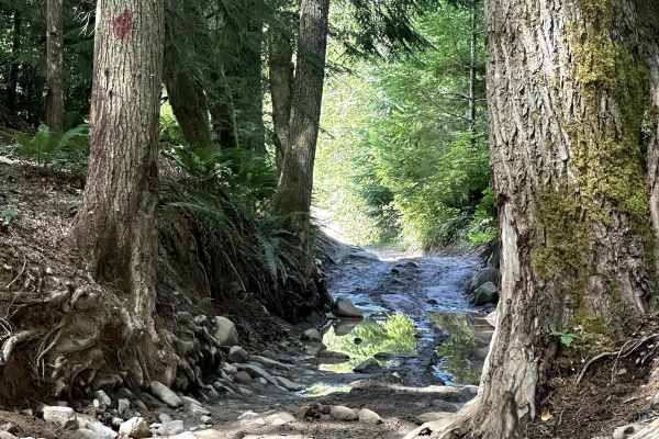
Sunrise Trail
This short point-to-point off-road trail is part of the Elbe Hills Trail System. The first section is a hill climb with several sharp turns with tight squeezes through trees and stumps and a section of trench wheeling with rocks and tree roots to negotiate. Once through the trench, the trail turns l...
Learn more about Sunrise Trail
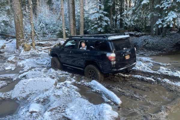
Mainline
A tough trail that will test your rig's capability. We did it in a 4Runner on 35s had to winch throughout and blew a tire off the bead. Lots of water crossings, big rocks, and muddy hill climbs. Don't forget your recovery gear on this trail. No cell service.
Learn more about Mainline
Last Regrets Lane
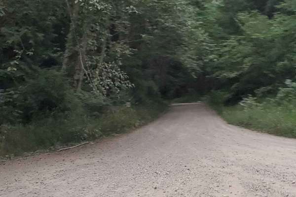
This is the gentlest trail you will find at Elbe ORV Park. Long and flat it's a great access point for tow trucks. Elbe park is a destroyer of rigs. You will find lots of camping sites along the main paths. With trails reaching level 10 in some places, those campsites are good to make note of. Let t...
Learn more about Last Regrets Lane
Busywild Trail
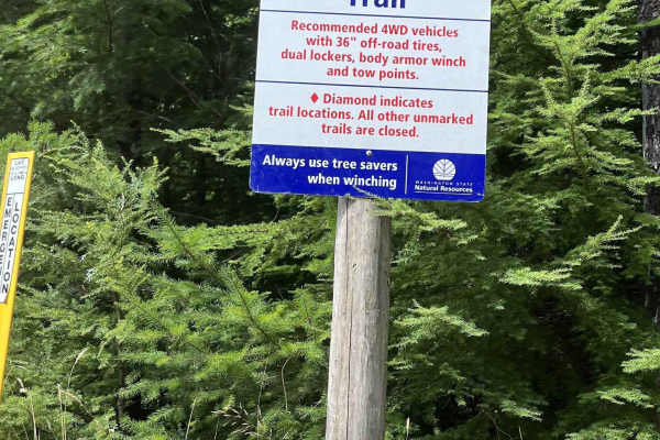
Busywild Trail is considered the hardest trail in the Elbe Hills OHV system, and it earns that reputation. Busywild is the most technical and demanding trail in the system, recommended only for well-built rigs running 36-inch tires or larger, dual lockers, full body armor, a reliable winch, and soli...
Learn more about Busywild Trail
Road 99
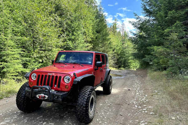
This short 1-mile point-to-point trail gives access to several different trails in the Elbe Hills Trail System. This is a forest service road generally used by vehicles for the maintenance of the Elbe Hills off-road trail system. This trail is passable by 2WD, AWD, and 4WD vehicles.
Learn more about Road 99
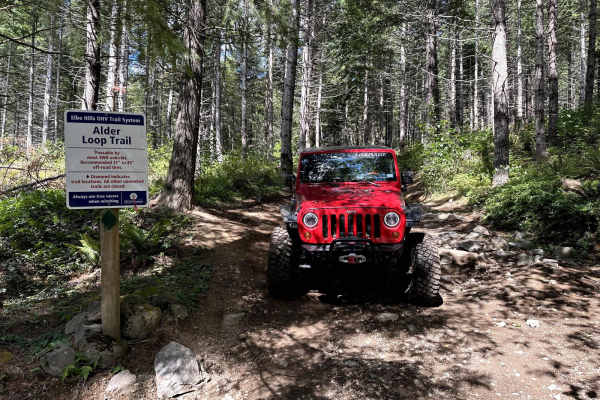
Alder Loop Trail
This short off-road trail is part of the Elbe Hills Trail System. This trail has several different paths to follow. This one takes you up the hill to a large mud hole which can be very difficult to pass in wet seasons. Next is a good-sized rock garden which has a bypass. The trail then continues on ...
Learn more about Alder Loop Trail
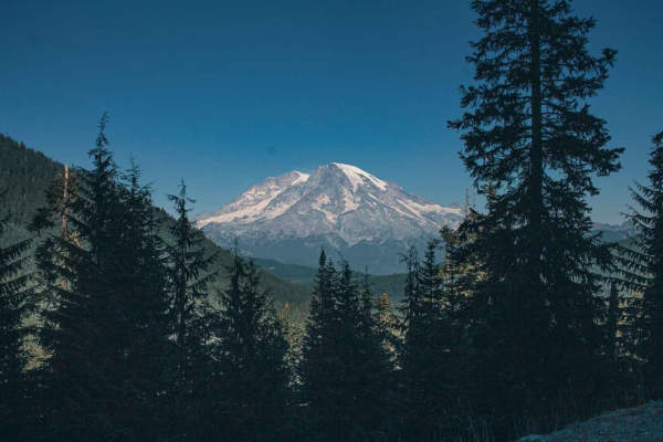
Berry Creek
Berry Creek road is an easy gravel road with a few potholes to keep in mind with your speed. If you want to get a really good view of Mountain Rainer then this is a road I recommend you check out, on a clear day there are a couple of amazing view spots of the Mountain. You will find a few camp spots...
Learn more about Berry Creek
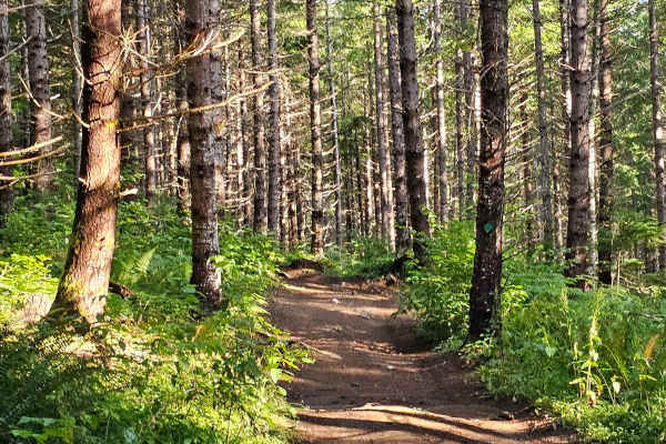
Inner Alder loop
Inner Alder Loop is a short but adventurous trail within the Elbe Hills Trail System. Access begins off the 9 Road, right next to the Upper Campground. Right away, you’ll climb a steep hill. Once at the top, you can continue along the loop or branch off onto Alder Loop Trail. Along the way, expect m...
Learn more about Inner Alder loop
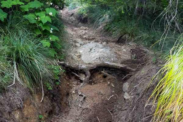
Osborne Mountain 250
Osborne Mountain Trail starts on the north end at the Big Creek Campground. There is a small day use staging area at the entrance to the trail. It starts climbing the hillside right away, through a dense and dark forest of hemlocks, switch backing up a series of 20+ switchbacks, and gaining almost 2...
Learn more about Osborne Mountain 250
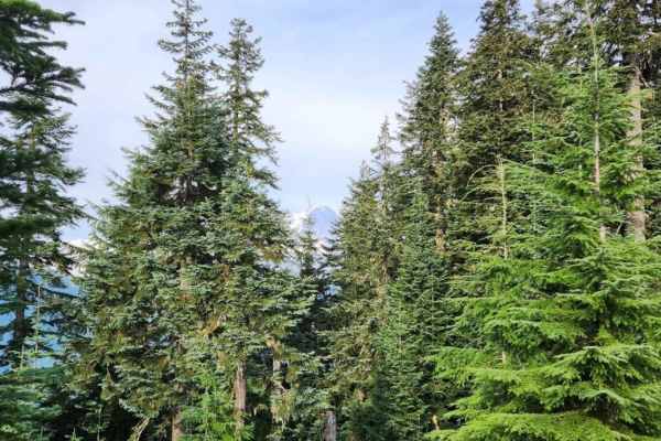
ZigZag Canyon
ZigZag Canyon at Osbourne Mountain is a moderate trail that, while not technically difficult, is not for the faint of suspension or bald tires. Starting off smoothly on well-graded forest roads, climb FSR #8410 to the Teeley Creek Trailhead, catching peekaboo views of Mt. Rainier rising in the dista...
Learn more about ZigZag Canyon
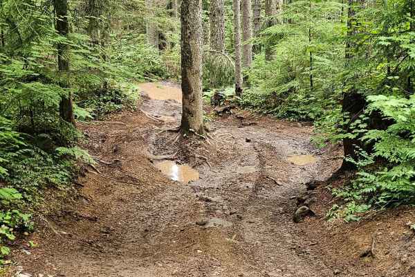
Gotcha
Gotcha Trail is a fun and challenging adventure within the Elbe Hills trail system, recommended for rigs running 31-inch tires or larger. This trail throws a little bit of everything at you: mud, rocks, stumps, tight squeezes, off-camber sections, logs, and even bridges. As you climb the steep hill,...
Learn more about Gotcha
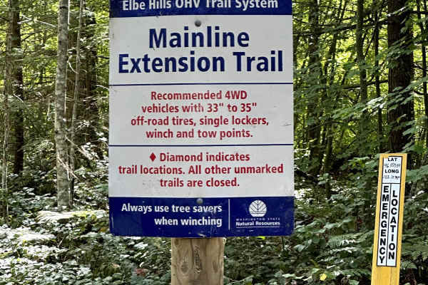
Mainline Extension
This short off-road trail connects the Alder Loop Trail to the Gotcha Trail. This trail winds through the trees with several tight sections, which can be difficult for longer-wheelbase vehicles. Stumps, logs, and rocks along the trail keep things interesting. This trail becomes more difficult during...
Learn more about Mainline Extension
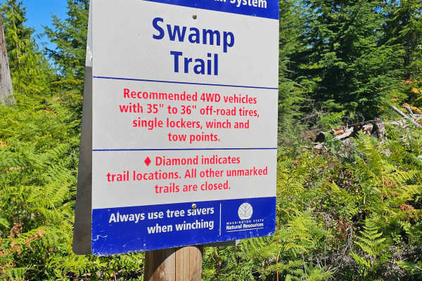
Swamp Trail
Swamp Trail is one of the more difficult routes in the Elbe Hills OHV Trail System, recommended for rigs with 35–36 inch tires, at least one locker, a winch, and solid recovery points. The trail features a mix of off-camber sections, exposed roots, mud, and a series of whoops. A large root obstacle ...
Learn more about Swamp Trail
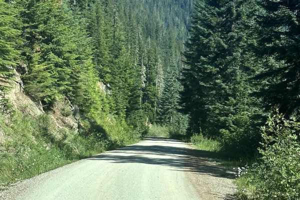
Towhead Gap Trail
This 7.9 mile point to point trail takes you up to Towhead Gap at 4298 feet. On top of Towhead Gap there is a 3 mile out and back hiking trail to High Rock Lookout, a very popular hiking trail in the Gifford-Pinchot National Forest. The trail from Berry Creek is better maintained and passable by 2WD...
Learn more about Towhead Gap Trail
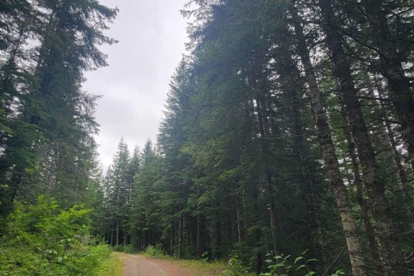
West Mesatchee
At the edge of Mount Reiner, nestled in the Gifford Pinchot Forest just south of the Nisqually River, West Mesatchee hides along Forest Road 52 towards the end of Mesatchee. It is a densely forested road ending in a campsite. This trail ends early due to overgrowth. But if you are looking for a fora...
Learn more about West Mesatchee
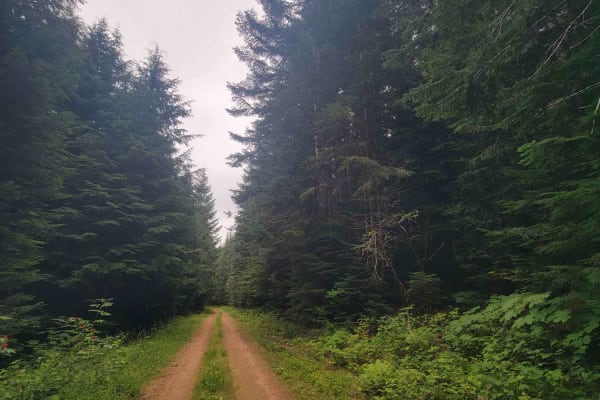
Mesatchee Creek Offroad Trail
At the edge of Mount Reiner, nestled in the Gifford Pinchot Forest just south of the Nisqually River, Mesatchee Creek Offroad Trail rides along Forest Road 52. It is a densely forested road. This trail ends early because of a roadblock placed by the local forest service due to a washout caused by Me...
Learn more about Mesatchee Creek Offroad Trail
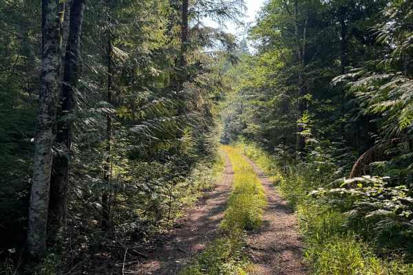
Porcupine Creek
This is an out-and-back trail that will lead you through into the deep forest area. The trail has an abundance of overgrowth where pinstriping may occur. A large majority of this trail will be a tight squeeze for a full-sized vehicle. The trail is mainly comprised of dirt and gravel and has some ero...
Learn more about Porcupine Creek
ATV trails near Ashford, Washington
Explore ATV-friendly trails near you. These trails are accessible for vehicles up to 50 inches wide, perfect for ATVs and smaller off-road machines.
8 Road
This 2.7-mile point-to-point trail leads up to the Elbe Hills ORV park area. The Elbe Hills ORV park area has a campground and dispersed camping areas and requires the Washington State Discovery Pass. This is a maintained Forest Service road that is passable by 2WD, AWD, and 4WD vehicles. There is a...
Learn more about 8 Road
Cave Creek Trail
This 5.8 mile out and back trail is not heavily traveled with lots of overgrowth, do not attempt if you love your vehicles paint job. This trail has a few areas that is narrow for full sized vehicles. There are also areas with deep wash out on the side of the trail that a lower clearance vehicle cou...
Learn more about Cave Creek Trail
Sunrise Trail
This short point-to-point off-road trail is part of the Elbe Hills Trail System. The first section is a hill climb with several sharp turns with tight squeezes through trees and stumps and a section of trench wheeling with rocks and tree roots to negotiate. Once through the trench, the trail turns l...
Learn more about Sunrise Trail
Mainline
A tough trail that will test your rig's capability. We did it in a 4Runner on 35s had to winch throughout and blew a tire off the bead. Lots of water crossings, big rocks, and muddy hill climbs. Don't forget your recovery gear on this trail. No cell service.
Learn more about Mainline
UTV/side-by-side trails near Ashford, Washington
Find UTV and side-by-side trails near you. These trails accommodate vehicles up to 60 inches wide, ideal for UTVs, side-by-sides, and wider off-road rigs.
8 Road
This 2.7-mile point-to-point trail leads up to the Elbe Hills ORV park area. The Elbe Hills ORV park area has a campground and dispersed camping areas and requires the Washington State Discovery Pass. This is a maintained Forest Service road that is passable by 2WD, AWD, and 4WD vehicles. There is a...
Learn more about 8 Road
Cave Creek Trail
This 5.8 mile out and back trail is not heavily traveled with lots of overgrowth, do not attempt if you love your vehicles paint job. This trail has a few areas that is narrow for full sized vehicles. There are also areas with deep wash out on the side of the trail that a lower clearance vehicle cou...
Learn more about Cave Creek Trail
Sunrise Trail
This short point-to-point off-road trail is part of the Elbe Hills Trail System. The first section is a hill climb with several sharp turns with tight squeezes through trees and stumps and a section of trench wheeling with rocks and tree roots to negotiate. Once through the trench, the trail turns l...
Learn more about Sunrise Trail
Mainline
A tough trail that will test your rig's capability. We did it in a 4Runner on 35s had to winch throughout and blew a tire off the bead. Lots of water crossings, big rocks, and muddy hill climbs. Don't forget your recovery gear on this trail. No cell service.
Learn more about Mainline
The onX Offroad Difference
onX Offroad combines trail photos, descriptions, difficulty ratings, width restrictions, seasonality, and more in a user-friendly interface. Available on all devices, with offline access and full compatibility with CarPlay and Android Auto. Discover what you're missing today!
Open Trail Map