Towhead Gap Trail

Total Miles7.6
Technical Rating
2Easy
Best TimeSpring, Summer, Fall
Trail TypeFull-Width Road
Accessible By
Open Trail Map

Trail Overview

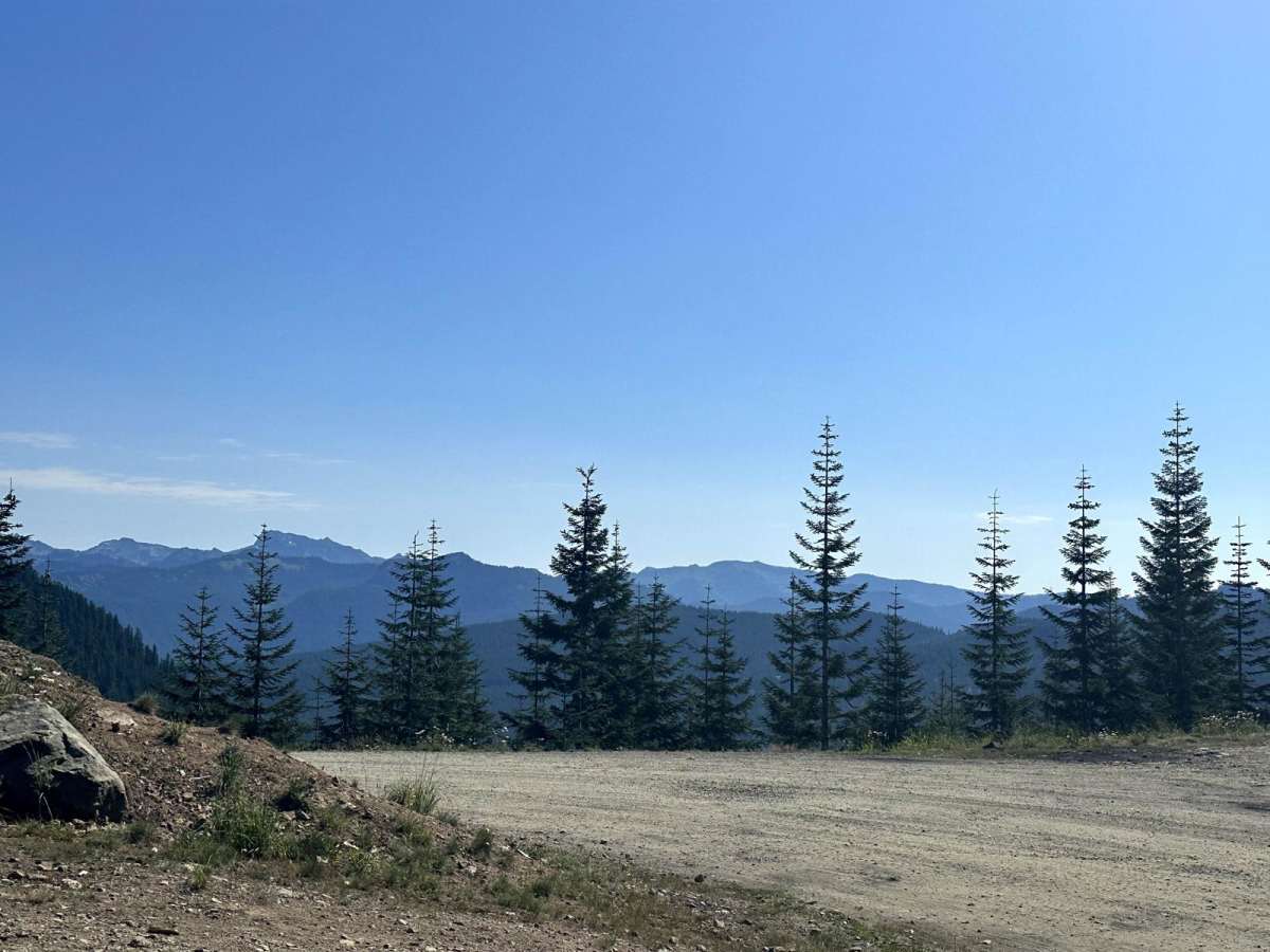
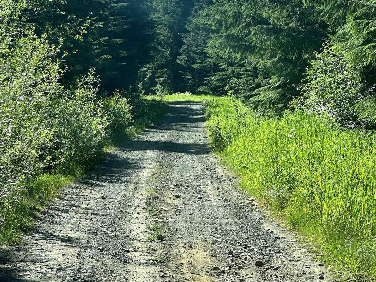
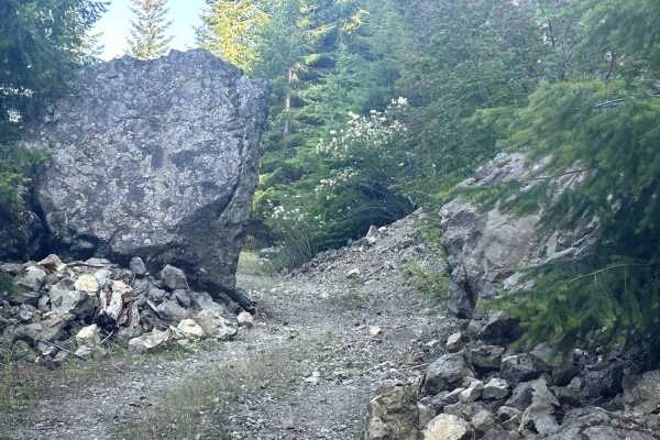
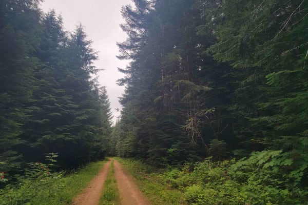
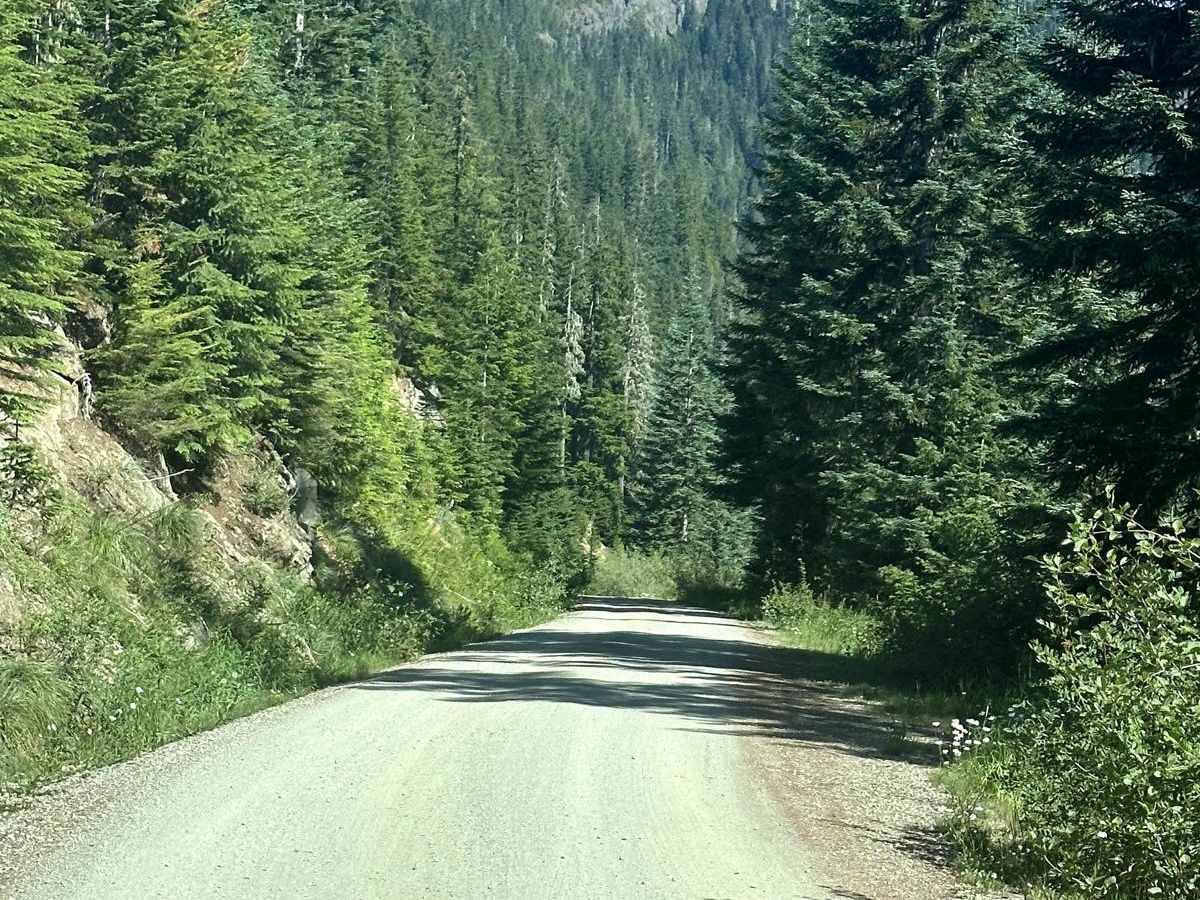
This 7.9 mile point to point trail takes you up to Towhead Gap at 4298 feet. On top of Towhead Gap there is a 3 mile out and back hiking trail to High Rock Lookout, a very popular hiking trail in the Gifford-Pinchot National Forest. The trail from Berry Creek is better maintained and passable by 2WD vehicles up to Towhead Gap. The trail from Catt Creek is more difficult but passable by AWD and 4WD vehicles.

Photos of Towhead Gap Trail

Difficulty

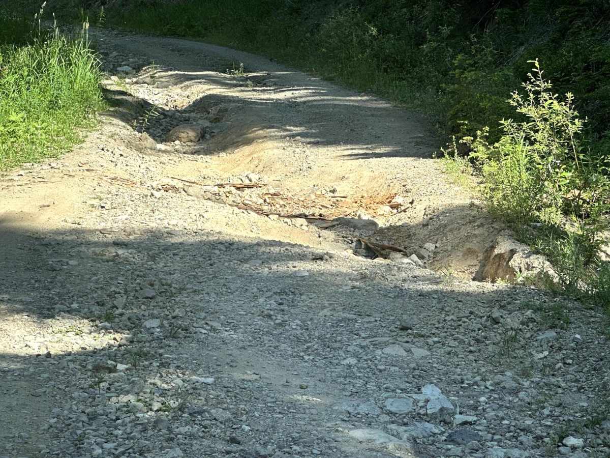
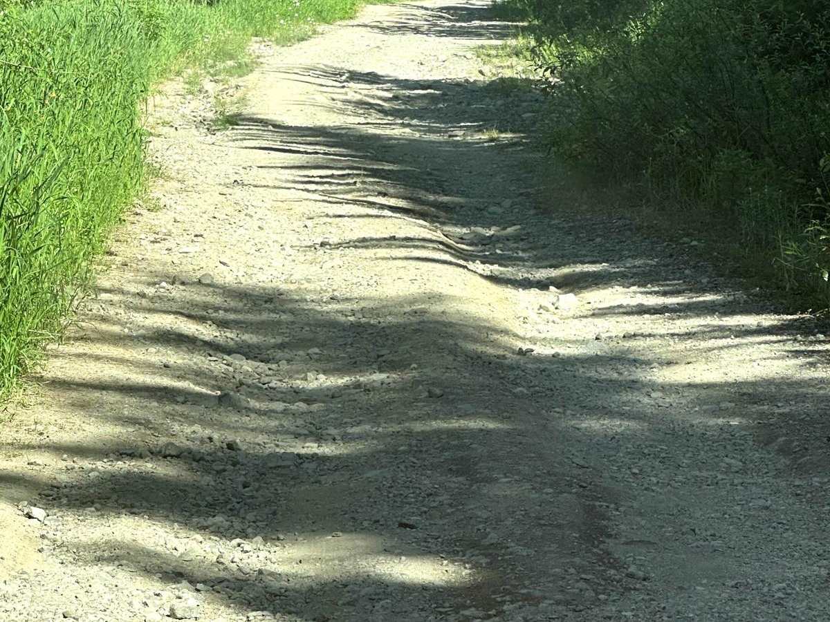
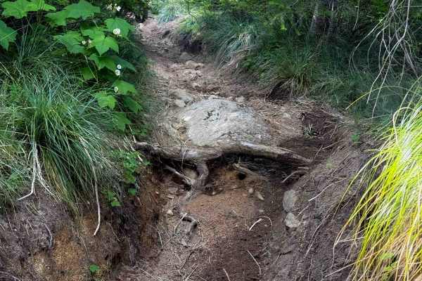
This is a single vehicle trail with mud holes and wash outs less than 12" in depth.

Technical Rating

2

Status Reports

Add Status Report
Anthony Lim
Jun 10, 2025
Open
NormalDustyRough/Deteriorated
Going up to the look out is not bad, I saw regular car made it up there“Just take caution “ as there was a lot of potholes. I wouldn’t recommend to go pass heading down the road passing the lookout with a regular car and low clearance 4wd. The road was bad pass the lookout “I say about “12 inch or more potholes on the road heading down! So please beware and be safe folks!
Jason Wentzel
Oct 13, 2024
Open
The section W of the High Rock/Greenwood Lake TH, which is a descent going westbound, is loose with loose rock and ruts (washouts) up to a foot deep, many running parallel to the trail. It’s not hard, but not exactly “easy” either; wouldn’t be too much of an issue for a vehicle that can’t fall over. Ridden on lightly loaded ADV bike on knobbies. There were lots of vehicles parked at the TH on this sunny Sunday. Most probably approached from the East.
Tyrone A
Jun 29, 2024
2003 Lexus GX
Open
Lots of people parked terribly, some encroaching the middle of the road.

Towhead Gap Trail Trail can be accessed by the following ride types:

  • Single Track
  • 50 Inch
  • 60 Inch
  • High Clearance
  • Full Width

Towhead Gap Trail Map

The onX Offroad Difference

onX Offroad combines trail photos, descriptions, difficulty ratings, width restrictions, seasonality, and more in a user-friendly interface. Available on all devices, with offline access and full compatibility with CarPlay and Android Auto. Discover what you're missing today!

Open Trail Map