
Beginner Off-Road Trails
Near Willowbrook, California
Explore All Beginner Trails Near Willowbrook, California
Beginner Off-Road Trails Near Willowbrook, California
Discover the best beginner-friendly off-road trails near you. These easier, lower-rated trails are a great place to start — browse trail maps, check difficulty ratings, and find your next adventure.
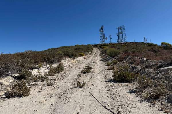
Magic Mountain Summit Trail
Magic Mountain Summit Trail is a 9.2-mile route traversing the scenic Magic Mountain Wilderness within the Angeles National Forest. Beginning near Magic Mountain Peak, the trail descends 2,610 feet to an access road at the base, which is gated and may or may not be open depending on conditions. This...
Learn more about Magic Mountain Summit Trail
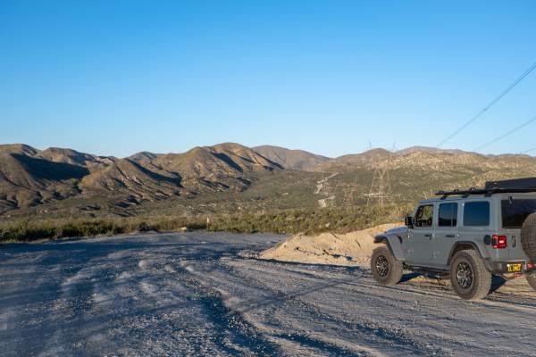
BP & L Road - FS 4N33
This hard-packed dirt road offers a smooth(ish) drive over lots of loose gravel and small rocks that are easily traversed by any stock vehicle, with plenty of turnouts along the Angeles National Forest-designated portions of the road, including many under and around large electrical towers, where yo...
Learn more about BP & L Road - FS 4N33
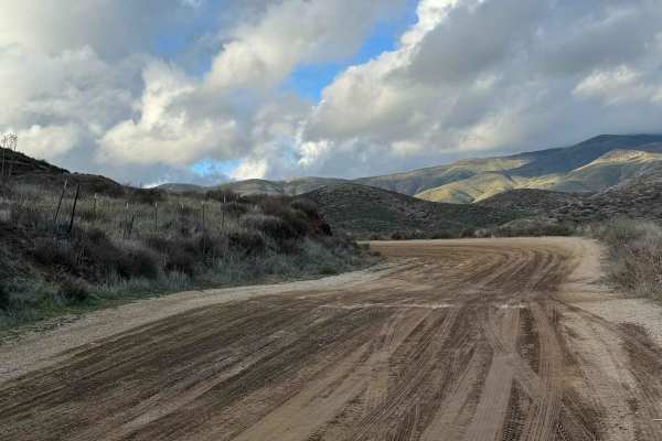
Rush Canyon Road
Rush Canyon Road starts as pavement on the north side of Sierra Highway. Once the pavement ends on the way up the hill, it is a mostly flat dirt road. It is a short road that ends at restrooms and a nice open area to park your rig and trailer if one is hooked up to the rig. This is the same open are...
Learn more about Rush Canyon Road
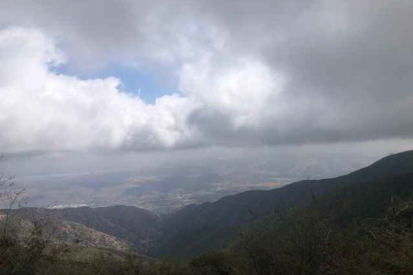
FS 4S03
Scenic trail from the 15 Freeway to Santiago Peak. The dirt road is hard-packed and easy to navigate, but does have a few sections with sharp rocks and a few ruts. The road has multiple stop locations for great views towards Riverside. This area is also popular with dirt bikes and hikers.
Learn more about FS 4S03
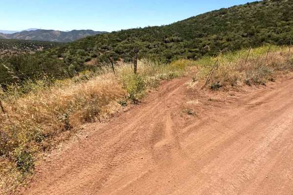
Spring OHV Trail
Spring OHV Trail is a fun connector between Staging Area #1 and Staging Area #3. This is a two-way dirt bike and ATV trail with some really fun twists and turns. Nice and flowing, this trail would be great for a seasoned beginner to level up their riding. There are a couple of sections that are tigh...
Learn more about Spring OHV Trail
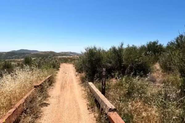
Arc OHV Trail
A fun and easy trail close to the staging areas. This is a two-way dirt bike and ATV trail. One end is just to the south of Staging Area #1. The other end is at FS 5N14, close to both Stage and Flat OHV trails. Mostly flat with nice winding turns, this is a great trail for beginners as both ends mee...
Learn more about Arc OHV Trail
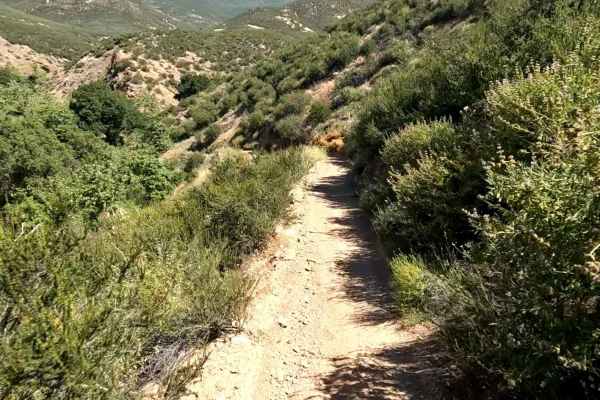
Flat OHV Trail
Flat OHV Trail is a dirt bike and ATV-only trail. It is really fun and flowing, taking riders through the lower elevations of Rowher Flats OHV Area. Rideable by just about any skill level, there is nothing too challenging along this trail for even beginner riders. It is rated a "blue" trail by the p...
Learn more about Flat OHV Trail
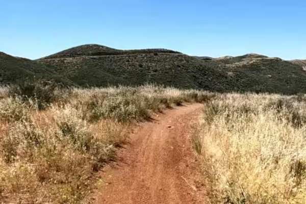
Texas OHV Trail
Texas OHV Trail is like a main artery trail through the riding area. There are a number of connecting trails to this one that make for some great rides. Texas OHV is a two-way dirt bike and ATV-only trail. This two-way trail runs primarily northeast to southwest and can be ridden comfortably in eith...
Learn more about Texas OHV Trail
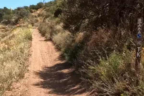
TK OHV Trail
This is a short connector trail between staging area #1 and FS 5N14. This is a dirt bike and ATV-only trail that gets you off the main road away from 4x4 and SxS traffic. This trail has a "blue" rating, but just about anyone can ride this one. It is very easy, with a few gentle ups and downs, to kee...
Learn more about TK OHV Trail
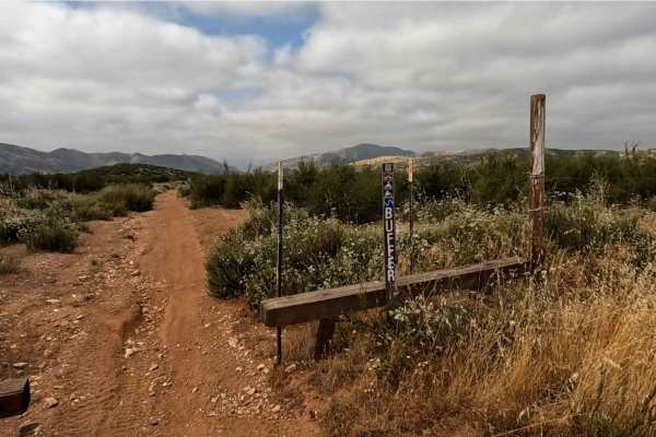
Buffer OHV Trail
Buffer OHV Trail is an easy, enjoyable route located near Staging Area #3 in the Rowher Flats OHV Area. The trail forms a loop around the open riding area just south of the staging area, making it a convenient and accessible option. This two-way trail is designated for dirt bikes and ATVs only and f...
Learn more about Buffer OHV Trail

4N11
The trail starts as a well-maintained road (Big Rock Creek) from the west, or Angeles Crest if starting from the east. It is a short trail, but is very scenic and has creek crossings during certain times of the year. There are also mature trees that provide shade throughout most of the trail. During...
Learn more about 4N11

3N26
Trail head starts on Angeles Crest Highway at the Vincent Gap Turnout. It is a very short trail that leads to a locked gate at Jackson Flat Camping Area. The scenery during this trail consists of mature trees providing plenty of shade throughout the trail, views of the Antelope Valley from above, an...
Learn more about 3N26
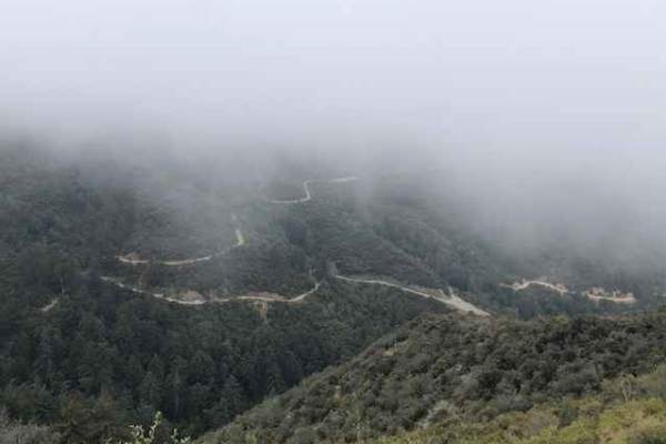
Maple Spring Road
Maple Springs road offers a fun, relatively easy route with scenic views of the Cleveland National Forest. Vehicles should have some ground clearance. At the end of the trail is an elevated patch of asphalt that appears to be a helicopter pad. The trail is shared with dirt bikes, hikers and riders o...
Learn more about Maple Spring Road
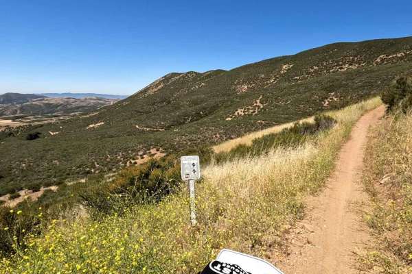
Knob OHV Trail
Knob OHV Trail is an enjoyable dirt bike and ATV route with easy access from Staging Area #2 in the Rowher Flats OHV Area. This two-way trail runs primarily north to south and can be ridden comfortably in either direction. From the south, it begins at Staging Area #2, and on the northern end, it con...
Learn more about Knob OHV Trail
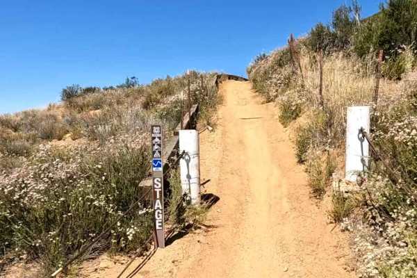
Stage OHV Trail
Stage OHV Trail (FS 3414W10) is a two-way dirt bike and ATV-only trail. One end begins at Staging Area #2, and the other is off of Texas Canyon Road. This is a fun trail for all skill levels, with only a couple of steep sections that shouldn't pose too much of a challenge for beginner riders. There ...
Learn more about Stage OHV Trail
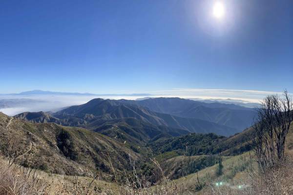
North Main Divide Road
Tucked amidst the hustle and bustle of Southern California's heavily-populated coast is a slice of heaven called the Cleveland National Forest. This mountainous region is undeveloped, save for a few great trails connecting world-class views to cozy campgrounds. The North Main Divide Road enters the ...
Learn more about North Main Divide Road

3S04 Main Divide to Santiago Peak
The 3S04 Main Divide to Santiago Peak trail is a 4.8-mile route through the Cleveland National Forest, following the ridgeline of the Santa Ana Mountains. It rises from 4,534 feet to 5,681 feet, offering expansive views of the Temescal Valley, the Los Angeles Basin, and Catalina Island. Most of the ...
Learn more about 3S04 Main Divide to Santiago Peak
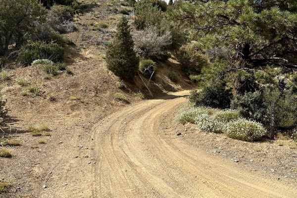
Pinyon Ridge Truck Trail
This is a mellow trail along Pinyon Ridge, which is just west of Vincent Gap and Blue Ridge. The trail itself is mellow and surrounded by - you guessed it - single-leaf/needle Pinyon pine trees, which are the namesake of the ridge and native to only the Western United States. There are no less than ...
Learn more about Pinyon Ridge Truck Trail
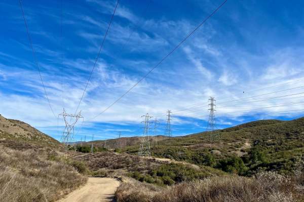
City Highline Road
City Highline Road offers a scenic dirt-road driving experience perfect for those looking to escape the busier trails around Santa Clarita. This non-technical route stretches for approximately 9.5 miles as it winds along the rugged hills of San Francisquito Canyon, closely following the utility powe...
Learn more about City Highline Road
Lower City Highline Road
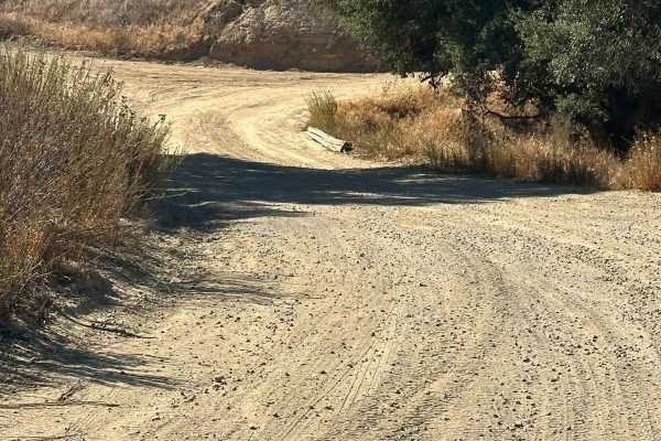
This is an easy dirt road following the power lines into Santa Clarita. The trail offers nice views of the surrounding mountains and has many small side roads, mostly leading to powerline pads. It’s fairly well maintained, accessible in dry conditions with a two-wheel drive vehicle, and ideal for a ...
Learn more about Lower City Highline Road
Beginner ATV trails near Willowbrook, California
Explore ATV-friendly trails near you. These trails are accessible for vehicles up to 50 inches wide, perfect for ATVs and smaller off-road machines.
Magic Mountain Summit Trail
Magic Mountain Summit Trail is a 9.2-mile route traversing the scenic Magic Mountain Wilderness within the Angeles National Forest. Beginning near Magic Mountain Peak, the trail descends 2,610 feet to an access road at the base, which is gated and may or may not be open depending on conditions. This...
Learn more about Magic Mountain Summit Trail
BP & L Road - FS 4N33
This hard-packed dirt road offers a smooth(ish) drive over lots of loose gravel and small rocks that are easily traversed by any stock vehicle, with plenty of turnouts along the Angeles National Forest-designated portions of the road, including many under and around large electrical towers, where yo...
Learn more about BP & L Road - FS 4N33
Spring OHV Trail
Spring OHV Trail is a fun connector between Staging Area #1 and Staging Area #3. This is a two-way dirt bike and ATV trail with some really fun twists and turns. Nice and flowing, this trail would be great for a seasoned beginner to level up their riding. There are a couple of sections that are tigh...
Learn more about Spring OHV Trail
Arc OHV Trail
A fun and easy trail close to the staging areas. This is a two-way dirt bike and ATV trail. One end is just to the south of Staging Area #1. The other end is at FS 5N14, close to both Stage and Flat OHV trails. Mostly flat with nice winding turns, this is a great trail for beginners as both ends mee...
Learn more about Arc OHV Trail
Beginner UTV/side-by-side trails near Willowbrook, California
Find UTV and side-by-side trails near you. These trails accommodate vehicles up to 60 inches wide, ideal for UTVs, side-by-sides, and wider off-road rigs.
Magic Mountain Summit Trail
Magic Mountain Summit Trail is a 9.2-mile route traversing the scenic Magic Mountain Wilderness within the Angeles National Forest. Beginning near Magic Mountain Peak, the trail descends 2,610 feet to an access road at the base, which is gated and may or may not be open depending on conditions. This...
Learn more about Magic Mountain Summit Trail
BP & L Road - FS 4N33
This hard-packed dirt road offers a smooth(ish) drive over lots of loose gravel and small rocks that are easily traversed by any stock vehicle, with plenty of turnouts along the Angeles National Forest-designated portions of the road, including many under and around large electrical towers, where yo...
Learn more about BP & L Road - FS 4N33
3N26
Trail head starts on Angeles Crest Highway at the Vincent Gap Turnout. It is a very short trail that leads to a locked gate at Jackson Flat Camping Area. The scenery during this trail consists of mature trees providing plenty of shade throughout the trail, views of the Antelope Valley from above, an...
Learn more about 3N26
Pinyon Ridge Truck Trail
This is a mellow trail along Pinyon Ridge, which is just west of Vincent Gap and Blue Ridge. The trail itself is mellow and surrounded by - you guessed it - single-leaf/needle Pinyon pine trees, which are the namesake of the ridge and native to only the Western United States. There are no less than ...
Learn more about Pinyon Ridge Truck Trail
The onX Offroad Difference
onX Offroad combines trail photos, descriptions, difficulty ratings, width restrictions, seasonality, and more in a user-friendly interface. Available on all devices, with offline access and full compatibility with CarPlay and Android Auto. Discover what you're missing today!
Open Trail Map