
Beginner Off-Road Trails
Near Why, Arizona
Explore All Beginner Trails Near Why, Arizona
Beginner Off-Road Trails Near Why, Arizona
Discover the best beginner-friendly off-road trails near you. These easier, lower-rated trails are a great place to start — browse trail maps, check difficulty ratings, and find your next adventure.
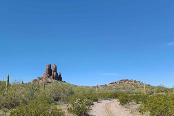
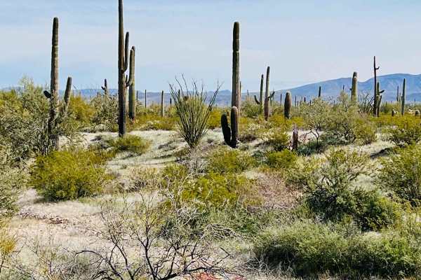
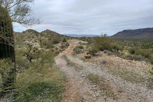
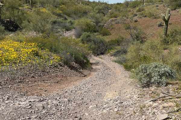
Locomotive Rock
Locomotive Rock Road is easy at the beginning, any 2-wheel drive vehicle can access the area. You can park and hike to Locomotive Rock. There are camping spots on either side of the road big enough for large rigs or a couple of vehicles. Once you pass Locomotive Rock the trail becomes tight, rocky, ...
Learn more about Locomotive Rock
8113B Cemetery Road
8113B road is an easy gravel road, there are sections that can be rutted, and sandy and some spots drive through a wash for a few seconds. There are a couple of camp spots with amazing views. The road ends at a wilderness area Cabeza Prieta National Wildlife Refuge with a gate, it is closed to vehic...
Learn more about 8113B Cemetery Road
Scenic Loop
The Scenic Loop road is an easy road, it drives through both Private property and the Bureau of Land Management. It is mostly gravel with some sandy areas that drive across a wash, do not attempt when flooded, other than that any 2WD vehicle can access this area. Camping is abundant on this route in...
Learn more about Scenic Loop
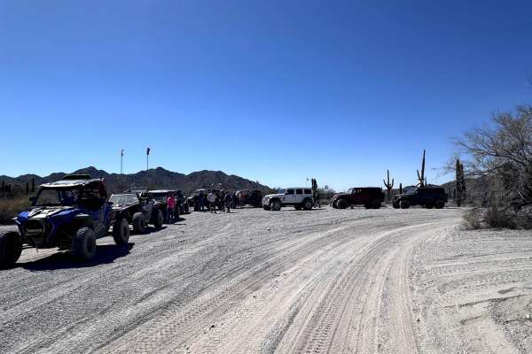
Rosedale Race Track
Rosedale Race Track Is a really cool Race track loop in the middle of the desert, it's located in the Bureau of Land Management. property so its public access. At the beginning of this trail, there is a large staging area where you can park your trailers, camp, and stage for the race track. A four-w...
Learn more about Rosedale Race Track
Old Car Wash Ajo
This mostly dirt and gravel surface trail is in the middle of a beautiful desert landscape with saguaros everywhere and mountain views in the distance. There is a lovely campsite at the beginning of the route and another one about halfway down the trail under an established tree. This second campsit...
Learn more about Old Car Wash Ajo
Lower Sikort Chapo Wash
This primarily wide and smooth wash runs from the main route of the gas pipeline road all the way down to the reservation boundary. Just before the border is a small pullout with an excellent camping area next to an old corral and ranching location. The wash is full of life, with many red-tailed haw...
Learn more about Lower Sikort Chapo Wash
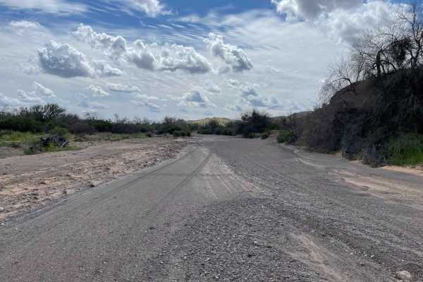
Rock and Dip
Rock and Dip are an overall easy road except for one section which is in the middle. From one side you will be able to get to cool rocks near the private property, right after that you will come up to a very large wash, it is steep, loose, rutted, and rocky, and a long wheelbase vehicle will most li...
Learn more about Rock and Dip
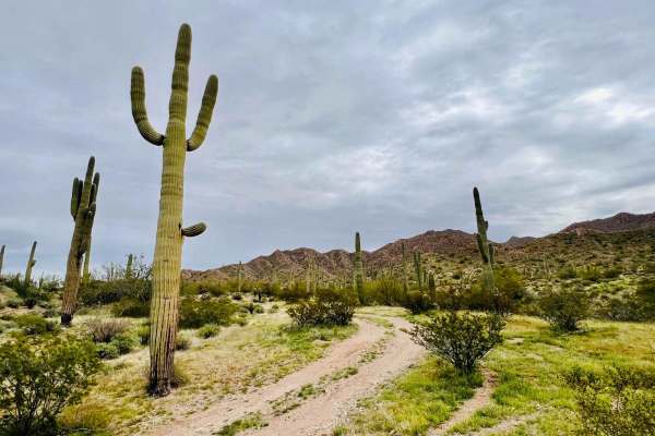
Old Car Camp Ajo
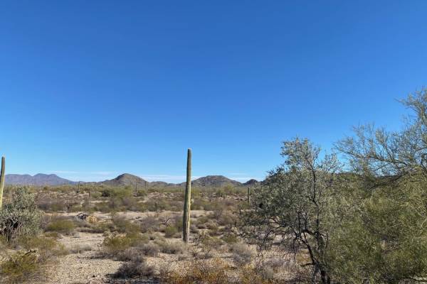
This fun out-and-back trail on the northern side of the Cardigan Peak Mountains Outside Ajo ends at a secluded campsite. This is a beautiful area of the desert full of giant saguaro cacti and flowers in the springtime. The trail is mostly dirt with some natural gravel sections mixed in. It is a 4x4 ...
Learn more about Old Car Camp Ajo
Lookout
Lookout Road is a mixed surface road of both sand, rock and gravel. The beginning of the trail is easy yet overgrown, it goes through washes at times, there are a couple of decent camp spots, and one of them is near old stone structures. When you get closer to the lookout the trail gets steep with l...
Learn more about Lookout
Rasmussen Extended
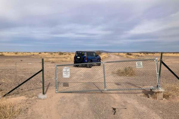
Rasmussen extended road is an out-and-back road that drives through both Bureau of Land Management and Cabeza Prieta National Wildlife Refuge. The wilderness areas require a pass and registration to enter and can be got at Luke AFB iSportsman Service. This area is also known for high illegal activit...
Learn more about Rasmussen Extended
Hidden Camp
Hidden camp is a beautiful road that runs through Bureau of Land Management property, it is an out and back, sections of this road are gravel while others are very overgrown and rocky, but when you get to the end you will have a very remote camp spot big enough for one or two vehicles. It is a prett...
Learn more about Hidden Camp
Canyon Camp Loop Ajo
This is a lovely loop trail on the Northern side of the Cardigan Peak Mountains near Ajo. The Western side of the loop requires 4x4, while the Eastern side is easy and does not have any 4x4 sections. The western loop gets into a steep eroded section early on, and there are smaller eroded sections to...
Learn more about Canyon Camp Loop Ajo
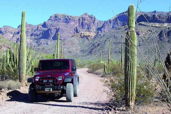
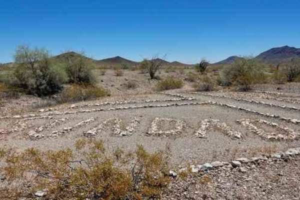
El Camino Del Diablo (Organ Pipe Cactus)
This 25.4-mile section of the El Camino Del Diablo trail takes you through the Organ Pipe Cactus National Monument. The Organ Pipe Cactus section of this trail is a maintained dirt road and is easy to travel. There is one point of interest in this section, Bates Well Ranch. This ranch ran for 60 yea...
Learn more about El Camino Del Diablo (Organ Pipe Cactus)
Organ Pipe Cactus Nat. Monument
This short drive offers many opportunities to hike along the way. There are some cool camping spots for both RVs and tent campers. You need to pay a small fee to enter the park, and ATVs and UTVs are not allowed.
Learn more about Organ Pipe Cactus Nat. Monument
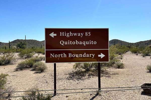
Pozo Nuevo Road
Pozo Nuevo Road is within the Organ Pipe National Monument and is a 14-mile road that connects Puerto Blanco Drive with Bates Well Road. Quitobaquito Spring and the border wall are at the southern end and Bates Well Road is at the northern. There's very nice scenery along the way. It's technically n...
Learn more about Pozo Nuevo Road
Side Route - BLM 8008
Easy off-road wash trail follows a flat sandy bottom, suitable for ATVs and 4x4s. Optional side routes present six to seven obstacles—boulder fields, narrow ledges, soft ruts, and washouts- for experienced drivers. A signed shortcut climbs steeply to an abandoned copper mine. Obstacles are bypassabl...
Learn more about Side Route - BLM 8008
Javelina Mountain Trail
This trail is found in the Barry Goldwater Bombing Range, Sand Tank Mountain Area A. A permit is required and easily obtained for free at Luke.isportman.net. Check-in and check-out can easily be done on the same website. This trail takes off from Vekol Road and winds behind Maricopa Peak, Javelina M...
Learn more about Javelina Mountain Trail
Agua Caliente Road
Loop the Gila Bend Mountains while visiting the Gillespie Dam and Bridge and Sundad Ghost Town. Start this run in Gila Bend, then go north up the Gila River Valley on historic US Route 80, which initially ran from Tybee Island, Georgia, to San Diego, California. Visit Gillespie Bridge and Dam on the...
Learn more about Agua Caliente Road
Painted Rock Road
This trail provides a more scenic and challenging option to reach the Painted Rock Petroglyph site from Interstate 8 than just driving there on paved backroads. It cuts through an area of Arizona State Land, which requires an inexpensive annual Arizona State Land permit. Permits can be obtained onli...
Learn more about Painted Rock Road
Sonoran Desert 8009
Take Freeman Road exit about 17 miles east of Gila Bend. BLM. Camping is available, but put some distance between yourself and the interstate. It is an easy drive, though clearance is necessary in some areas. Bring some loppers, as palo verde crowds the road in places. 8009 crosses Barry Goldwater R...
Learn more about Sonoran Desert 8009
Beginner ATV trails near Why, Arizona
Explore ATV-friendly trails near you. These trails are accessible for vehicles up to 50 inches wide, perfect for ATVs and smaller off-road machines.
Locomotive Rock
Locomotive Rock Road is easy at the beginning, any 2-wheel drive vehicle can access the area. You can park and hike to Locomotive Rock. There are camping spots on either side of the road big enough for large rigs or a couple of vehicles. Once you pass Locomotive Rock the trail becomes tight, rocky, ...
Learn more about Locomotive Rock
8113B Cemetery Road
8113B road is an easy gravel road, there are sections that can be rutted, and sandy and some spots drive through a wash for a few seconds. There are a couple of camp spots with amazing views. The road ends at a wilderness area Cabeza Prieta National Wildlife Refuge with a gate, it is closed to vehic...
Learn more about 8113B Cemetery Road
Scenic Loop
The Scenic Loop road is an easy road, it drives through both Private property and the Bureau of Land Management. It is mostly gravel with some sandy areas that drive across a wash, do not attempt when flooded, other than that any 2WD vehicle can access this area. Camping is abundant on this route in...
Learn more about Scenic Loop
Rosedale Race Track
Rosedale Race Track Is a really cool Race track loop in the middle of the desert, it's located in the Bureau of Land Management. property so its public access. At the beginning of this trail, there is a large staging area where you can park your trailers, camp, and stage for the race track. A four-w...
Learn more about Rosedale Race Track
Beginner UTV/side-by-side trails near Why, Arizona
Find UTV and side-by-side trails near you. These trails accommodate vehicles up to 60 inches wide, ideal for UTVs, side-by-sides, and wider off-road rigs.
Locomotive Rock
Locomotive Rock Road is easy at the beginning, any 2-wheel drive vehicle can access the area. You can park and hike to Locomotive Rock. There are camping spots on either side of the road big enough for large rigs or a couple of vehicles. Once you pass Locomotive Rock the trail becomes tight, rocky, ...
Learn more about Locomotive Rock
8113B Cemetery Road
8113B road is an easy gravel road, there are sections that can be rutted, and sandy and some spots drive through a wash for a few seconds. There are a couple of camp spots with amazing views. The road ends at a wilderness area Cabeza Prieta National Wildlife Refuge with a gate, it is closed to vehic...
Learn more about 8113B Cemetery Road
Scenic Loop
The Scenic Loop road is an easy road, it drives through both Private property and the Bureau of Land Management. It is mostly gravel with some sandy areas that drive across a wash, do not attempt when flooded, other than that any 2WD vehicle can access this area. Camping is abundant on this route in...
Learn more about Scenic Loop
Rosedale Race Track
Rosedale Race Track Is a really cool Race track loop in the middle of the desert, it's located in the Bureau of Land Management. property so its public access. At the beginning of this trail, there is a large staging area where you can park your trailers, camp, and stage for the race track. A four-w...
Learn more about Rosedale Race Track
The onX Offroad Difference
onX Offroad combines trail photos, descriptions, difficulty ratings, width restrictions, seasonality, and more in a user-friendly interface. Available on all devices, with offline access and full compatibility with CarPlay and Android Auto. Discover what you're missing today!
Open Trail Map