
Beginner Off-Road Trails
Near Washburn, Missouri
Explore All Beginner Trails Near Washburn, Missouri
Beginner Off-Road Trails Near Washburn, Missouri
Discover the best beginner-friendly off-road trails near you. These easier, lower-rated trails are a great place to start — browse trail maps, check difficulty ratings, and find your next adventure.
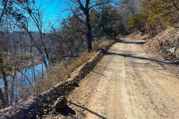
Flag Springs Road
Flag Springs Road is a combination of gravel, dirt, and hard-packed red clay. It passes through Flag Springs Conservation Area and a public shooting range. Meandering along Brush Creek, the road crosses multiple dry creek crossings opening up to private ranches when turning left at County Road SE E6...
Learn more about Flag Springs Road
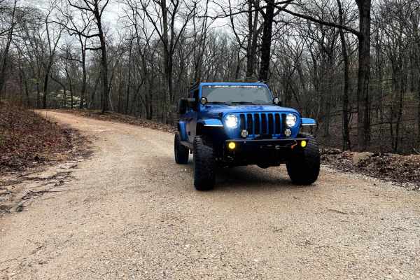
North Old Wire Road
The route is approx 2.4 miles, which is one way of easy, well-maintained gravel roads. The route travels north to south along the far east side of the Pea Ridge National Military Park and can be driven in either direction If you are traveling south to north. It begins at N. Old Wire Rd and Alvin Se...
Learn more about North Old Wire Road
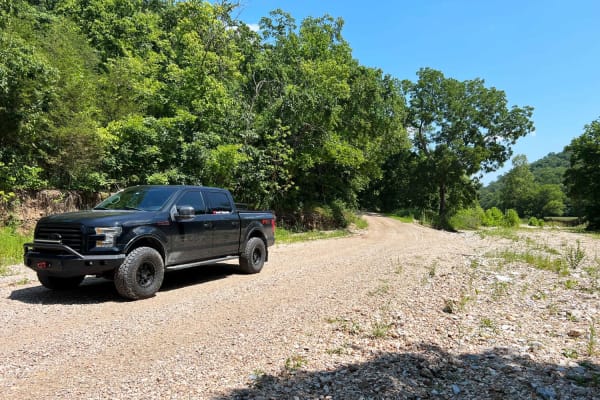
Butler Hollow
Butler Hollow connects Beaver, Arkansas, and Seligman, Missouri via a retired Arkansas & Ozarks rail line along Butler Creek. Most of the road is well-graded gravel with scattered potholes and dry water crossings. The north end of the road through the National Forest is packed dirt with scattered po...
Learn more about Butler Hollow
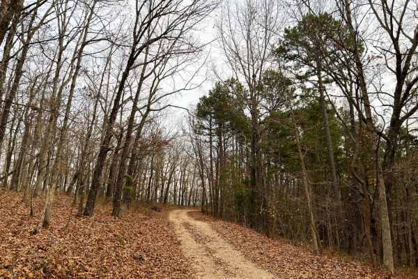
Mary Cole Ridge
Mary Cole Ridge 1011 is a scenic ridge road in Mark Twain National Forest with distant overlooks through the hardwoods seen in the fall and wintertime. This meandering ridgeline road has many campsite pull-offs and spur trails more appropriate for side by sides and motorcycles. The road is well-main...
Learn more about Mary Cole Ridge
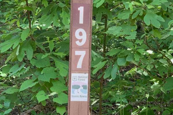
Mark Twain National Forest Scenic Drive
This is a Mark Twain National Forest Scenic Byway Drive between Highway 112 and 86 in southwest Missouri near Roaring River State Park and Eagle Rock, Missouri. Following NF Road 197 or FR 2275, it is an 8-mile east-west route that consists of well-maintained gravel roads that can be traveled by any...
Learn more about Mark Twain National Forest Scenic Drive

FR 1182
This trail will take you from 76 to Farm Road 2185. The first half starts easy with little to no obstacles. Various parts have brush and bendy branches coming onto the trail, so some scratches on your rig can be expected. This trail is heavily wooded with no camping spots along it. Towards the middl...
Learn more about FR 1182
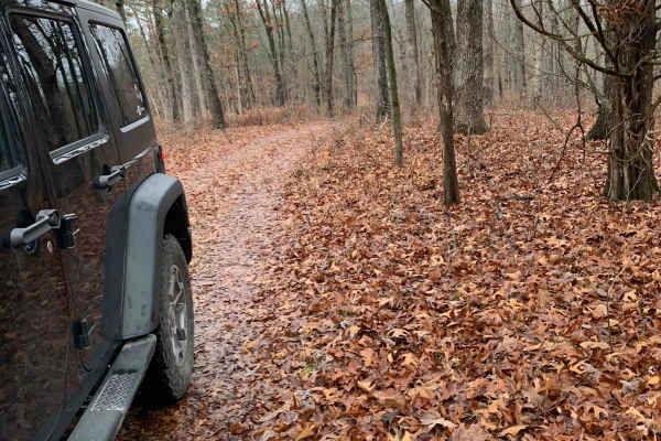
FR 1181 to Scroggins Ridge
If entering from 76, this trail will be on the right side of the fork and starts off easy, but if entering from Scroggins, the trail starts off difficult. This trail offers some gorgeous views of the Mark Twain National Forest. There are no spots to camp along this trail nor are there any clearings ...
Learn more about FR 1181 to Scroggins Ridge
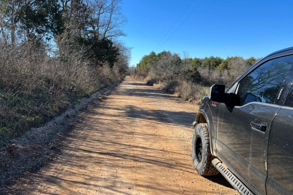
Cyclone Road
Cyclone Road starts at Big Sugar Creek and County Road SE E59 or Creekside Road at Creekside Campground. This follows the shuttle route if you're floating Big Sugar Creek to Cyclone. Warning: the floating takeout at Cyclone can be very dangerous and only experienced paddlers should float this sectio...
Learn more about Cyclone Road
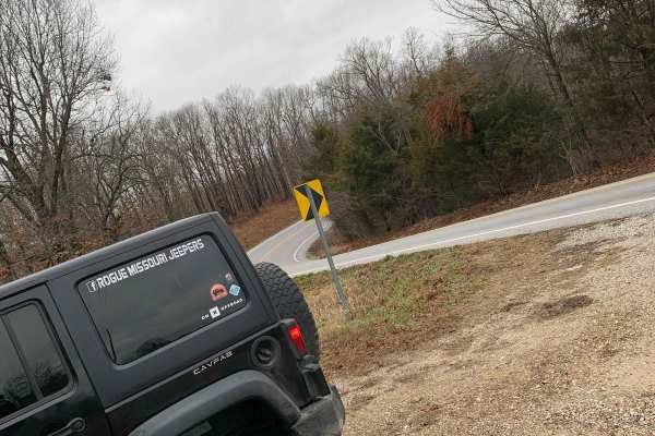
FR 1180 (Left Fork)
This is the perfect trail if you are looking to get out and enjoy the Mark Twain National Forest. This trail is very straightforward and can be easily completed solo. 4WD is not needed as this does not have any obstacles and the trail is very well maintained. There are some spots where it is a littl...
Learn more about FR 1180 (Left Fork)
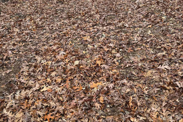
Green 233
Green 233 is located on the east side of the park. This is a short scenic drive through the wood that is non-directional so you can run it from either direction. Green 233 is connected to Green 33 at both ends. There are no other trails that you can access from this trail.
Learn more about Green 233
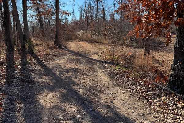
Green 227
Green 227 is located on the east side of the park. This is a non-directional trail so you can run it from either direction. Green 227 is connected to Top of Cave 31 at one end and Green 228 at the other end. You will pass by several other trails traveling along this one.
Learn more about Green 227
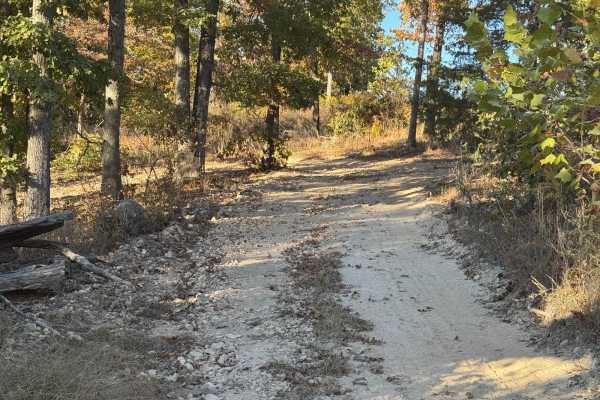
Green 33
Green 33 is a non-directional trail so it can be run in either direction. This will connect you to the Top Of Cave 31 from the Cabin area. This is a short scenic drive through the trees. There are other spur trails along the way that vary in difficulty.
Learn more about Green 33
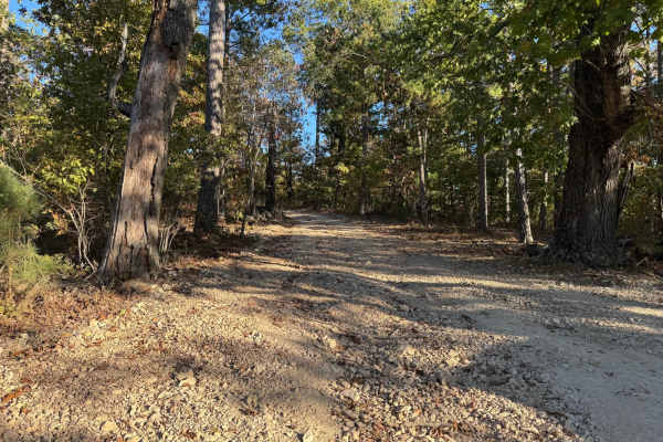
Top of Cave 31
Top of Cave is an easy trail that leads you to an area that is directly above the cave. This is a non directional trail so it can be run from either direction. You can park here to grab a bite to eat or catch a break in the shade.
Learn more about Top of Cave 31
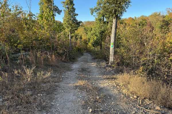
Green 32
Green 32 runs on the side of Top Of Cave 31. This is a non directional trail so it can be run from either direction. The brush is slightly overgrown so could causes scratches on wider full sized vehicles. Both ends of this trail connect to Top of Cave 31.
Learn more about Green 32
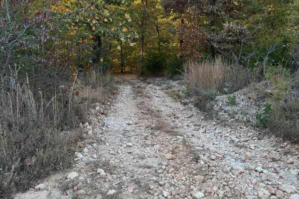
Green 38
Green 38 is located on the far North East corner of the park. This is a nondirectional trail so it can be run from either direction. Green 38 is connected to Overflow Parking 34 at one end and Green 1 at the other end. Depending on how busy the park is you may be able to see some deer or armadillo a...
Learn more about Green 38
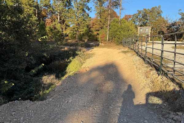
Overflow Parking 34
Overflow parking is just that, a trail that leads you passed the entrance grate to where the overflow parking is located at. Along the way you will pass by other trails like Red 7, Yellow 41, and Waterfall 35. Please be cautious of others potentially coming up from any of the connecting trails.
Learn more about Overflow Parking 34
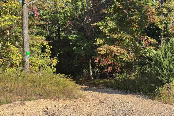
Green 1
Green 1 is a gravel road that can be very dusty when dry. You will be taken by the ponds & Area 51. The end that is closest to the entrance gate does see a lot of erosion due to the nature of the slight grade and with it being close to a ravine.
Learn more about Green 1
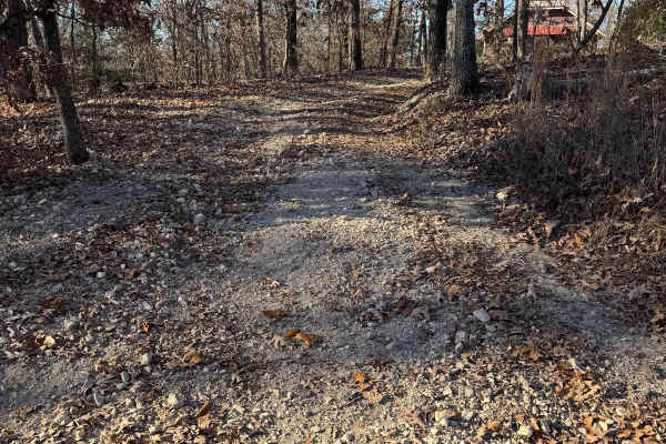
Green 234
Green 243 is located off of the main road through the park and to the west of the Party Barn cabin and RV parking. Please be respectful of the time of day you ride this trail because of that and how people may have their vehicles parked. This is a non-directional trail so you can run it from either ...
Learn more about Green 234
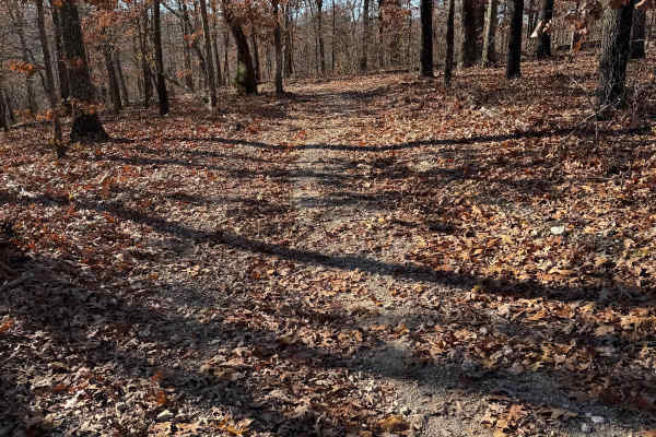
Green 216
Green 216 is located south of the office and the main road through the park. This is a non-directional trail so you can run it from either direction. Green 216 is connected to Green 33 at one end and Green 214 at the other end. The base of this trail is gravel.
Learn more about Green 216
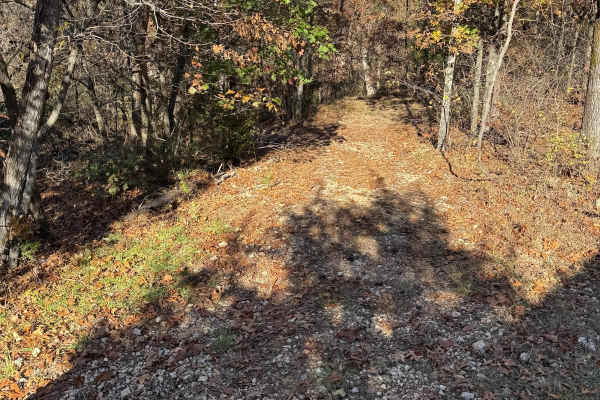
Green 140
Green 140 is located behind the Colonial and Deadwood Cabins. It is a non-directional trail so you can run it from either direction. This trail is connected to Green 1 at the bottom. Depending on the bookings for the cabins you have to drive around other people's vehicles and trailers.
Learn more about Green 140
Beginner ATV trails near Washburn, Missouri
Explore ATV-friendly trails near you. These trails are accessible for vehicles up to 50 inches wide, perfect for ATVs and smaller off-road machines.
North Old Wire Road
The route is approx 2.4 miles, which is one way of easy, well-maintained gravel roads. The route travels north to south along the far east side of the Pea Ridge National Military Park and can be driven in either direction If you are traveling south to north. It begins at N. Old Wire Rd and Alvin Se...
Learn more about North Old Wire Road
Mark Twain National Forest Scenic Drive
This is a Mark Twain National Forest Scenic Byway Drive between Highway 112 and 86 in southwest Missouri near Roaring River State Park and Eagle Rock, Missouri. Following NF Road 197 or FR 2275, it is an 8-mile east-west route that consists of well-maintained gravel roads that can be traveled by any...
Learn more about Mark Twain National Forest Scenic Drive
FR 1182
This trail will take you from 76 to Farm Road 2185. The first half starts easy with little to no obstacles. Various parts have brush and bendy branches coming onto the trail, so some scratches on your rig can be expected. This trail is heavily wooded with no camping spots along it. Towards the middl...
Learn more about FR 1182
FR 1181 to Scroggins Ridge
If entering from 76, this trail will be on the right side of the fork and starts off easy, but if entering from Scroggins, the trail starts off difficult. This trail offers some gorgeous views of the Mark Twain National Forest. There are no spots to camp along this trail nor are there any clearings ...
Learn more about FR 1181 to Scroggins Ridge
Beginner UTV/side-by-side trails near Washburn, Missouri
Find UTV and side-by-side trails near you. These trails accommodate vehicles up to 60 inches wide, ideal for UTVs, side-by-sides, and wider off-road rigs.
North Old Wire Road
The route is approx 2.4 miles, which is one way of easy, well-maintained gravel roads. The route travels north to south along the far east side of the Pea Ridge National Military Park and can be driven in either direction If you are traveling south to north. It begins at N. Old Wire Rd and Alvin Se...
Learn more about North Old Wire Road
Mary Cole Ridge
Mary Cole Ridge 1011 is a scenic ridge road in Mark Twain National Forest with distant overlooks through the hardwoods seen in the fall and wintertime. This meandering ridgeline road has many campsite pull-offs and spur trails more appropriate for side by sides and motorcycles. The road is well-main...
Learn more about Mary Cole Ridge
Mark Twain National Forest Scenic Drive
This is a Mark Twain National Forest Scenic Byway Drive between Highway 112 and 86 in southwest Missouri near Roaring River State Park and Eagle Rock, Missouri. Following NF Road 197 or FR 2275, it is an 8-mile east-west route that consists of well-maintained gravel roads that can be traveled by any...
Learn more about Mark Twain National Forest Scenic Drive
FR 1182
This trail will take you from 76 to Farm Road 2185. The first half starts easy with little to no obstacles. Various parts have brush and bendy branches coming onto the trail, so some scratches on your rig can be expected. This trail is heavily wooded with no camping spots along it. Towards the middl...
Learn more about FR 1182
The onX Offroad Difference
onX Offroad combines trail photos, descriptions, difficulty ratings, width restrictions, seasonality, and more in a user-friendly interface. Available on all devices, with offline access and full compatibility with CarPlay and Android Auto. Discover what you're missing today!
Open Trail Map