
Beginner Off-Road Trails
Near Sunnyside, Georgia
Explore All Beginner Trails Near Sunnyside, Georgia
Beginner Off-Road Trails Near Sunnyside, Georgia
Discover the best beginner-friendly off-road trails near you. These easier, lower-rated trails are a great place to start — browse trail maps, check difficulty ratings, and find your next adventure.
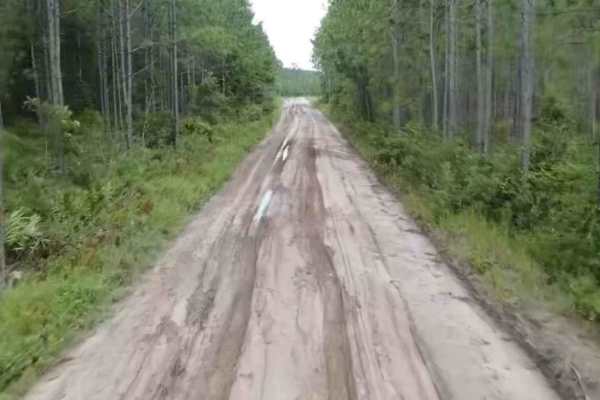
Satilla WMA Tour
Prepare for an unforgettable adventure through one of Georgia's remarkable Wildlife Management Areas--Little Satilla. This scenic route offers a stunning mix of natural beauty, including stretches of mud, clay, and sand that promise both excitement and challenge. Be sure to stay alert--wildlife sigh...
Learn more about Satilla WMA Tour
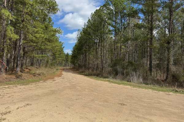
Gibson Island Road
Gibson Island Road trail is one of the trails fully within the Paulk's Pasture WMA. It is an out-and-back trail, but in combination with Bay Road trail and the Gibson/Bay Connector trail provides a long winding loop through the southwestern section of the WMA. The trail surface is packed dirt that c...
Learn more about Gibson Island Road
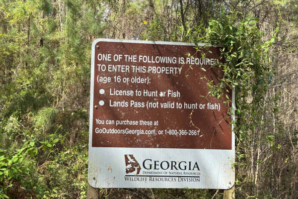
Blount's Crossing
Blount's Crossing trail continues south from the west end of Main Road and is one of the four entry points into Paulks Pasture at its southern end, where it intersects with Highway 32. From Highway 32, the trail crosses a set of railroad tracks and a shallow creek, Little Buffalo Creek. The trail is...
Learn more about Blount's Crossing
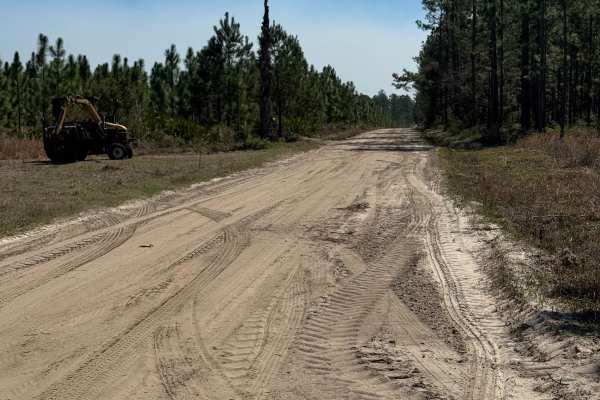
Sansavilla Road
Nice smooth dirt road through the heart of the Sansavilla Wildlife Management Area. This road is plenty wide enough for two vehicles and smooth enough for just about any vehicle to complete. The far end of the road terminates at the Altamaha River bank at a great overlook where you can take in the v...
Learn more about Sansavilla Road
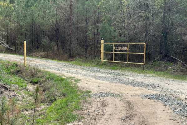
Bay Road
The Bay Road trail is one of the trails fully within the Paulk's Pasture WMA. It is an out-and-back trail, but in combination with Gibson Island Road and the Gibson/Bay Connector trail, it provides a long winding loop through the southwestern section of the WMA. The trail surface is packed dirt with...
Learn more about Bay Road
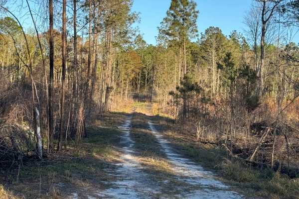
Rump Road
Rump Road trail is the main entry point to the southeastern section of the Sansavilla Wildlife Management Area. It also provides access to most of the other trails in this section. It is primarily a packed sand and dirt surface, so it is easily driven with most any motorized vehicle. Be cautious, h...
Learn more about Rump Road
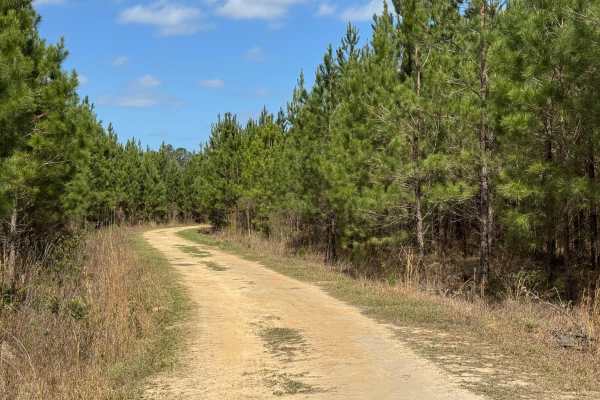
Dubignon Hammock Road
Dubignon Hammock Road trail is a loop trail along the western end of the Main Road trail. The eastern entrance to the loop is packed sand and grass with a firm surface and few potholes and ruts. The back side and west end have been rutted out by logging activities and tend to hold water, making driv...
Learn more about Dubignon Hammock Road
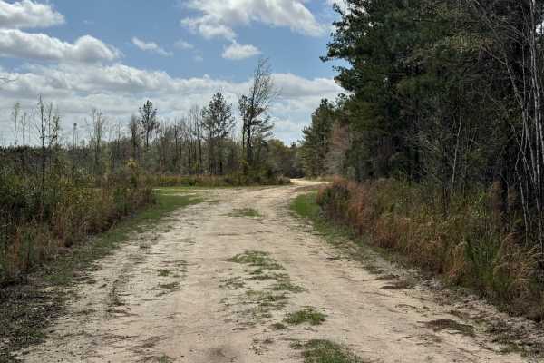
Gibson/Bay Connector
The Gibson/Bay Connector trail provides a short bridge between the ends of the Bay Road trail and the Gibson Island Road trail. The eastern side of the trail borders private property, so please respect the owners even if gates along the eastern side are open. The trail surface is primarily packed di...
Learn more about Gibson/Bay Connector
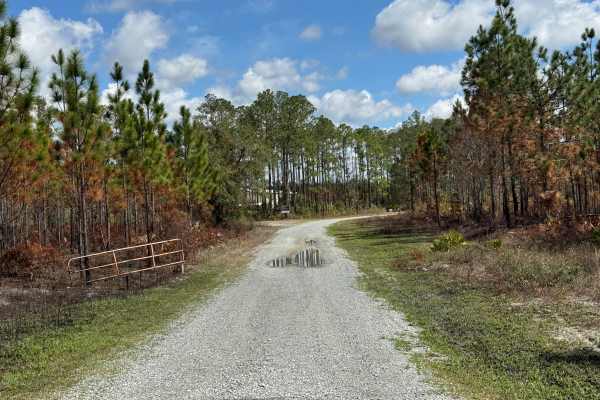
Post Road
Post Road is the main access point into the Penholoway Swamp WMA, and the WMA support and maintenance area is a short distance from the highway along the trail. The roadbed is an all-weather crushed gravel surface that appears fairly new, as the old natural surface trail can be seen alongside the ne...
Learn more about Post Road
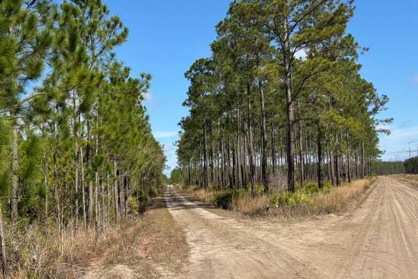
Church Road
Church Road trail is a 3-mile point-to-point dirt road that splits north off of Sansavilla Road, traveling along the western side of the WMA, eventually connecting to asphalt at Aiken Road. The Aiken Road trailhead can be used as a scenic offroad shortcut from the Penholoway Swamp area back down to ...
Learn more about Church Road
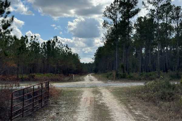
New Road
New Road trailhead starts along the paved section of River Road and cuts a swath across Post Road and Concrete Bridge Road before ending at Ole Hell Road on the north end. The trail bed is packed dirt on the southern end with a grassy surface on the northern reaches. The trail winds its way through ...
Learn more about New Road
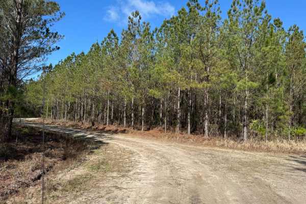
Pea Patch Loop
It's assumed that there used to be some farmland along Pea Patch Trail, but the only farming there currently is of southern pines. Pea Patch Trail has just enough twists and turns to add a sense of curiosity to the ride, while the trail base is mostly packed dirt with several grassy spots. There is ...
Learn more about Pea Patch Loop
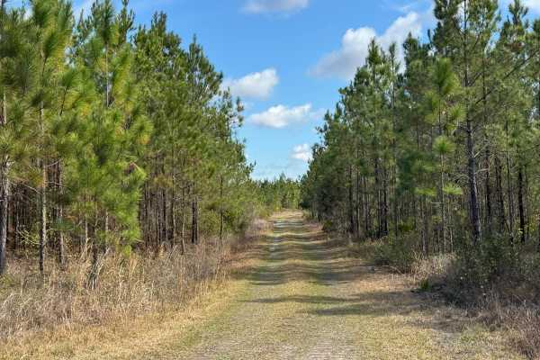
Brown Road
Brown Road is a shortcut between Williamsburg Landing and Church Road. It is packed sand and grass with several low areas that have been reinforced with crushed rock. Half of the trail runs through grassland, and the other half runs through a stand of young southern pine trees, making for a pleasant...
Learn more about Brown Road
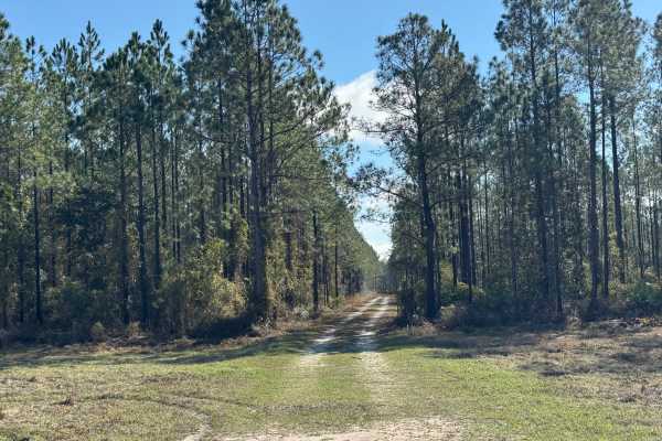
Clay Hill Road
Clay Hill Road is a shortcut between Church Road and a private residential area along Howard Road. Beginning on the western trailhead, the mostly straight trail travels through stands of very tall mature southern pine trees that tower over the trail and give the feel of driving through a deep ravine...
Learn more about Clay Hill Road
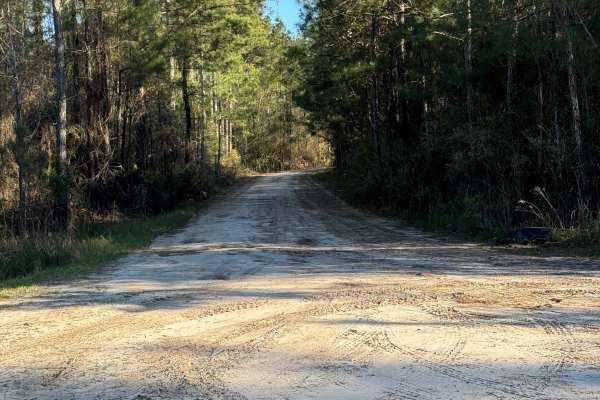
Lyles Old Field
Lyles Old Field trail begins along Rump Road at its western end and runs southeast. The trail consists of packed sand and grass, so it is an easy trail to drive, even in a two-wheel drive vehicle. It passes primarily through pine thickets and tall grassy areas. Lyles Old Field is a popular bird-watc...
Learn more about Lyles Old Field
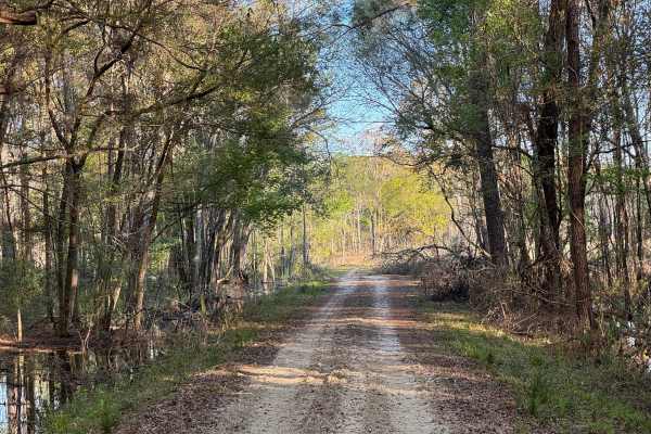
Flowing Well Road
Flowing Well Road used to terminate at both ends into Lyles Old Field Road. However, a large swampy area near its southeastern end proved difficult to maintain safe passage, so the trail was split, with this part being the major section. The shorter section originates along Lyle's Old Field road but...
Learn more about Flowing Well Road
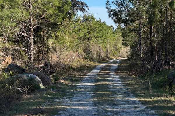
Strut Road
Strut Road is a gentle single vehicle-wide trail with a few shallow water crossings and a mudhole or two that can add some challenge during wet weather. There is one soft sand section near Rump Road that deserves attention to keep moving. The trail starts along the western end of Rump Road and conn...
Learn more about Strut Road
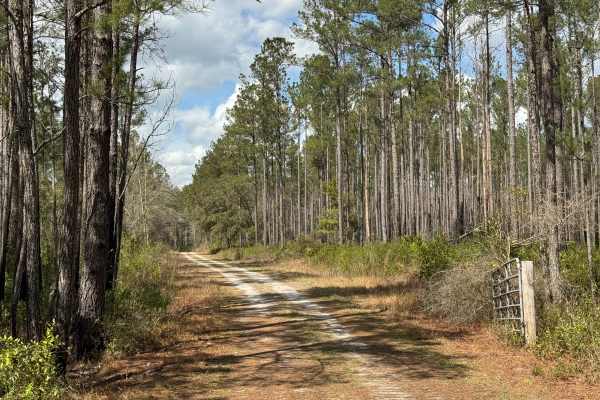
Cement Bridge Road
Cement Bridge Road, which gets its name from the short cement bridge on the eastern end of the trail, provides a convenient way to get from Post Road to Paradise Park Road, crossing New Road along the way. The trail winds through several southern pine stands, but most of the trail runs through scrub...
Learn more about Cement Bridge Road
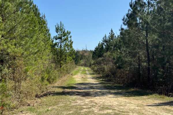
Lomo Field Road
Lomo Field Road trail is a loop trail that begins and ends along Belle Vista Road trail. The trail bed consists of packed dirt and grass with a few small potholes that tend to hold water during wet weather. The trail should be rideable in most 2WD vehicles. Lomo Field Road trail is a single vehicle ...
Learn more about Lomo Field Road
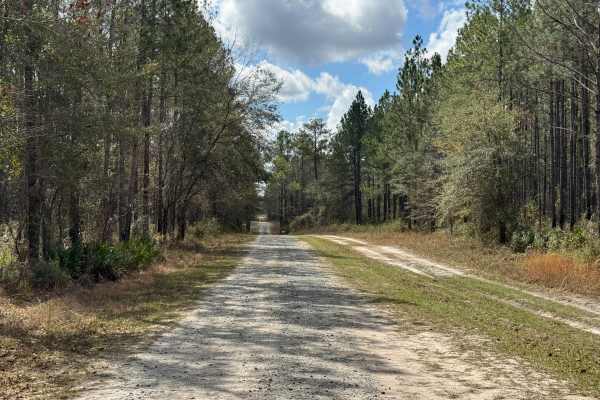
Hinson Road
Hinson Road appears to be a through trail starting at the paved segment of River Road, but has been gated closed on the southern end as it crosses private property. Access to Hinson Road is via Post Road from the north end, where Hinson Road extends a short distance north before ending at a closed g...
Learn more about Hinson Road
Beginner ATV trails near Sunnyside, Georgia
Explore ATV-friendly trails near you. These trails are accessible for vehicles up to 50 inches wide, perfect for ATVs and smaller off-road machines.
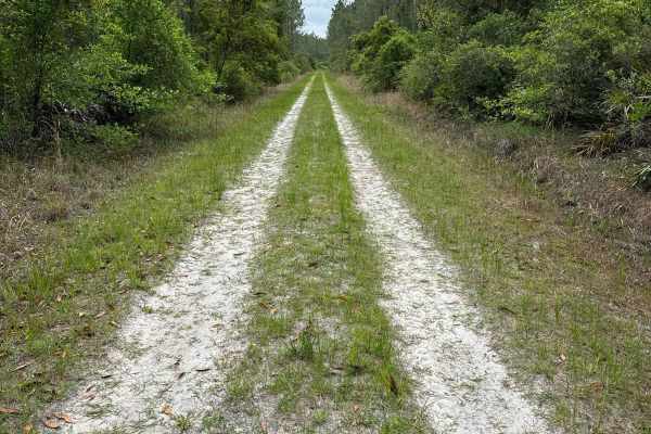
Mule Lot - Osceola NF 279
The Mule Lot Trail, also known as Osceola National Forest Road 279, is a 5-mile road that connects Little Suwannee Road at the north end and Sandhill Grade at the south end of the trail. It's the only road that connects the northwestern part of the Osceola National Forest with the main part. The roa...
Learn more about Mule Lot - Osceola NF 279

Camp Island - FS 224
Camp Island, also known as Osceola National Forest Road 224, is a loop trail that starts and ends at Sandhill Grade. It takes you through the northern part of the Osceola National Forest and gives you access to the Negro Camp Island district. The road conditions are a mixture of packed sand, loose s...
Learn more about Camp Island - FS 224
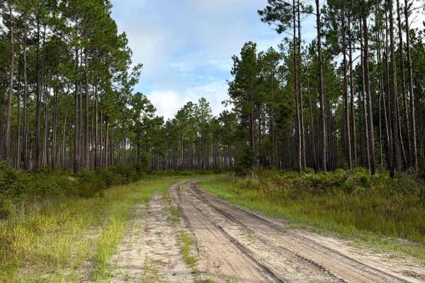
Cobb‘s Place - FS 235
Cobb‘s Place, also known as Osceola National Forest Road 235, connects The Swamp Thing at the south end and Sandhill Grade at the north end. It takes you through the north part of the Osceola National Forest and gives you access to several off-road trails in the area. The road conditions are a mixtu...
Learn more about Cobb‘s Place - FS 235
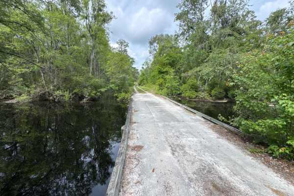
Little Suwannee Road - Osceola NF 291
The Little Suwannee Road, also known as Osceola National Forest Road 291, is a 12-mile road that starts at US-441. It takes you through the northwestern part of the Osceola National Forest from south to north and gives you access to several OHV trails. It's a dead-end road that ends shortly before t...
Learn more about Little Suwannee Road - Osceola NF 291
Beginner UTV/side-by-side trails near Sunnyside, Georgia
Find UTV and side-by-side trails near you. These trails accommodate vehicles up to 60 inches wide, ideal for UTVs, side-by-sides, and wider off-road rigs.
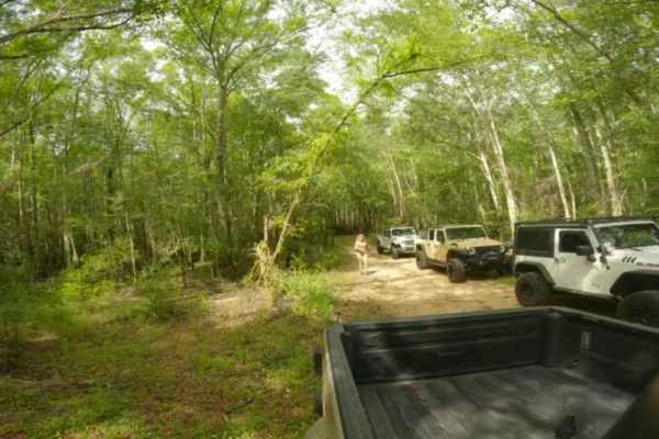
Trail to Miller Landing
Southeast Georgia's typical trail runs from sandy bottoms to small rocks and even some small water crossings. This trail leads to a beautiful landing called Miller Landing, where you can swim, fish, or put your kayaks or small boats in the water. This area is also great for having lunch or spending ...
Learn more about Trail to Miller Landing
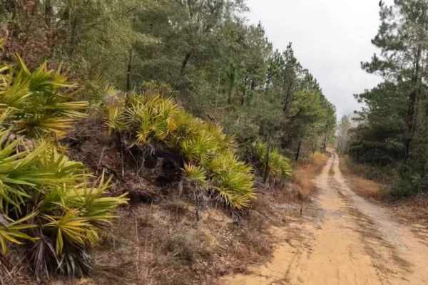
Trail to Wesley Lake
This trail is a combination of sandy, water crossing (which could be deep at times, so be mindful of tides and Rainfall), and has a gravel bottom where it needs to be to help with the water crossing to a hidden lake deep in the southeast woods of Georgia. Please be mindful of the water crossing dept...
Learn more about Trail to Wesley Lake

Bullard Altamaha River Loop
Central Georgia woods in country farm land trail that is very scenic with vegetation and animals. This trail follows along the Altamaha River that the World Famous Survivor Man Show couldn't complete. Watch to see Deer, Small Game, Turtles, and Alligators. This trail also crosses the Georgia Overlan...
Learn more about Bullard Altamaha River Loop
Mule Lot - Osceola NF 279
The Mule Lot Trail, also known as Osceola National Forest Road 279, is a 5-mile road that connects Little Suwannee Road at the north end and Sandhill Grade at the south end of the trail. It's the only road that connects the northwestern part of the Osceola National Forest with the main part. The roa...
Learn more about Mule Lot - Osceola NF 279
The onX Offroad Difference
onX Offroad combines trail photos, descriptions, difficulty ratings, width restrictions, seasonality, and more in a user-friendly interface. Available on all devices, with offline access and full compatibility with CarPlay and Android Auto. Discover what you're missing today!
Open Trail Map