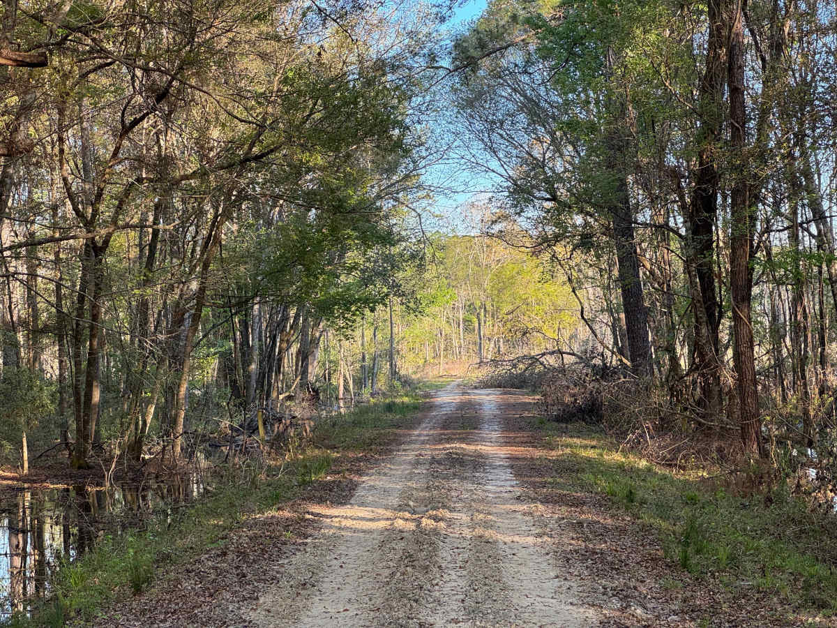
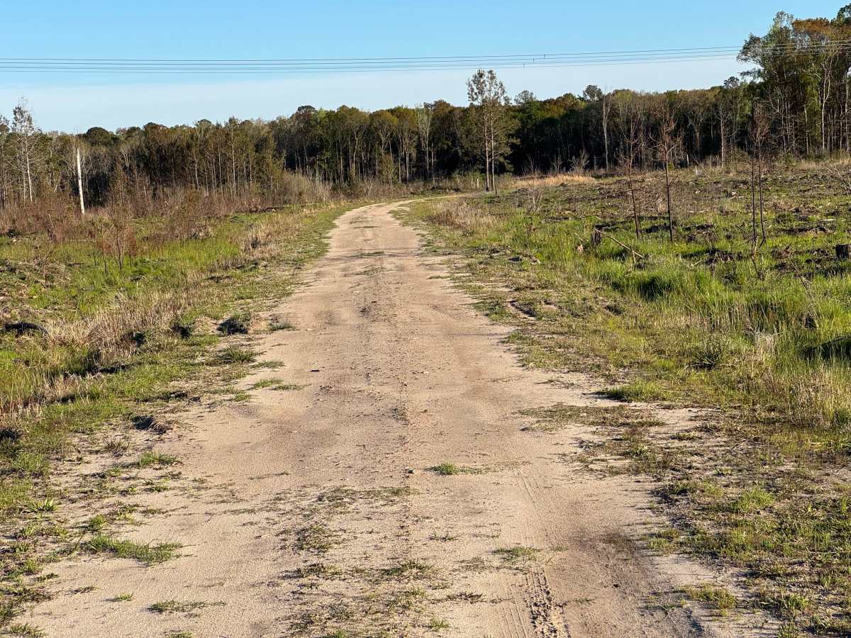
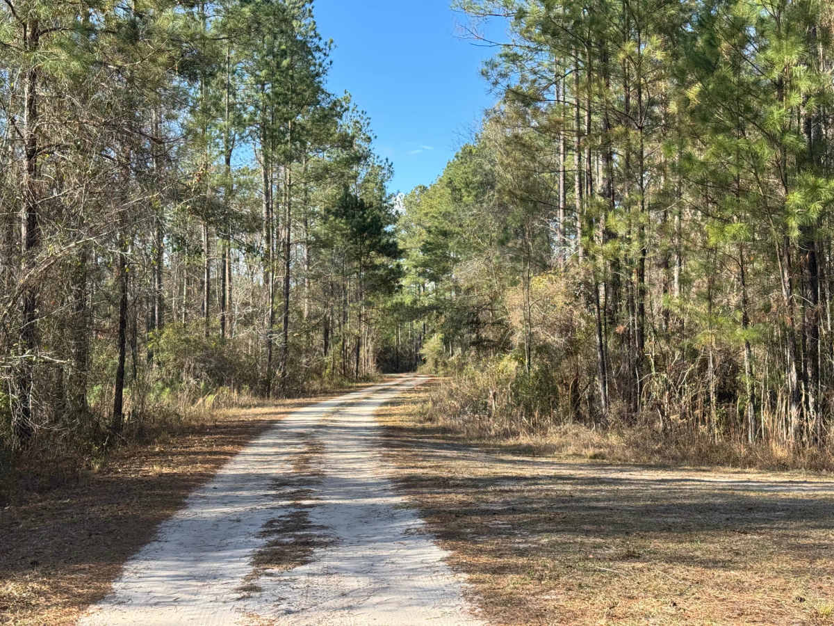
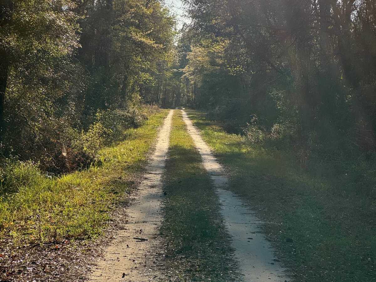
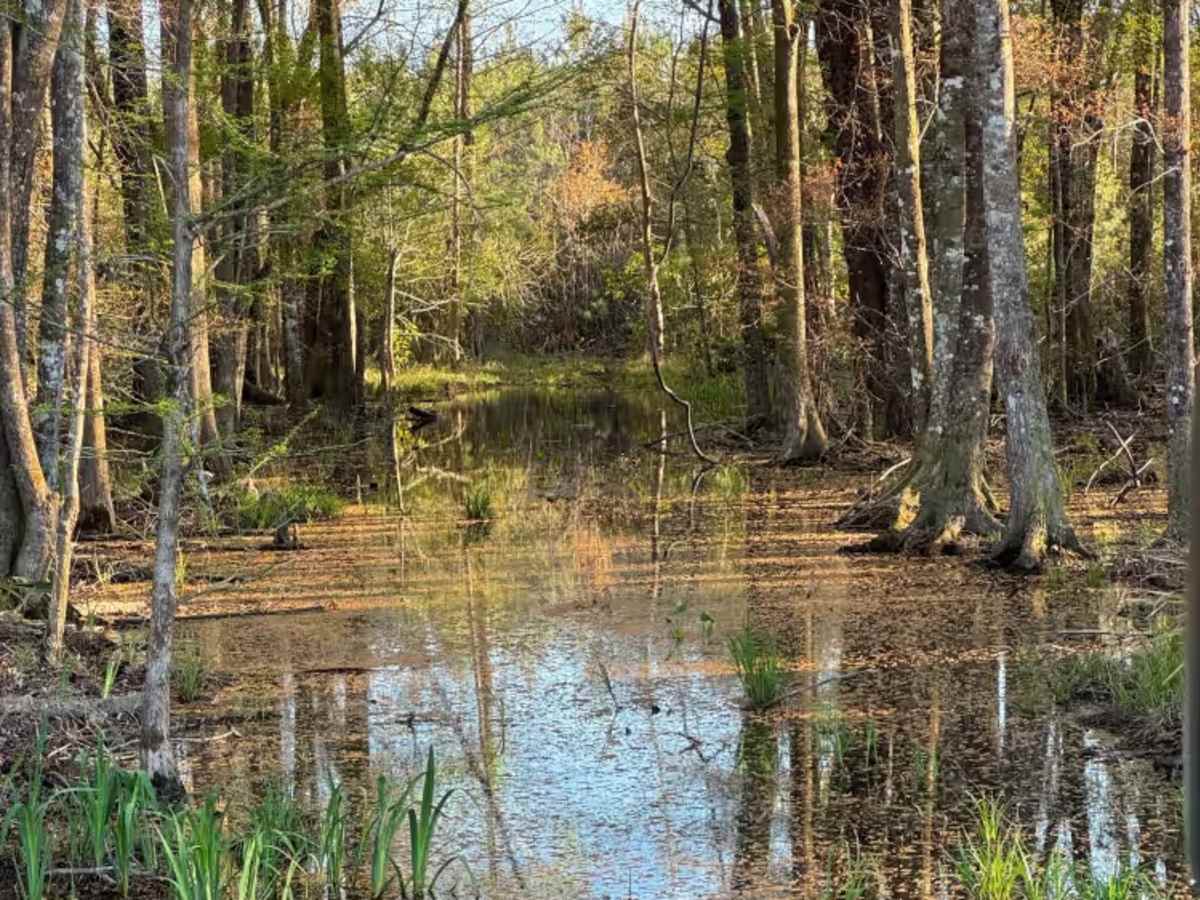
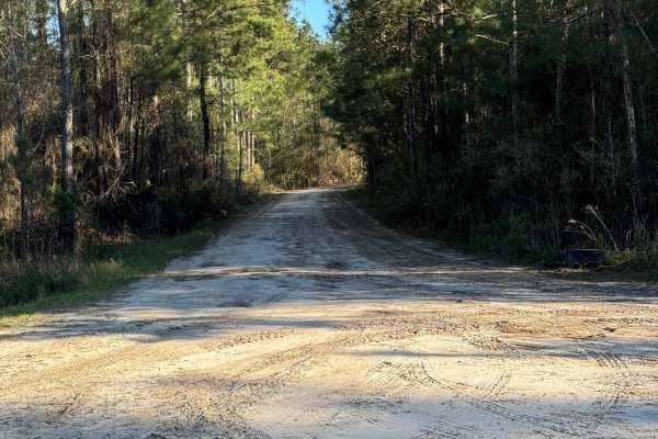
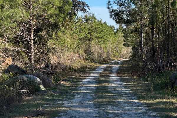
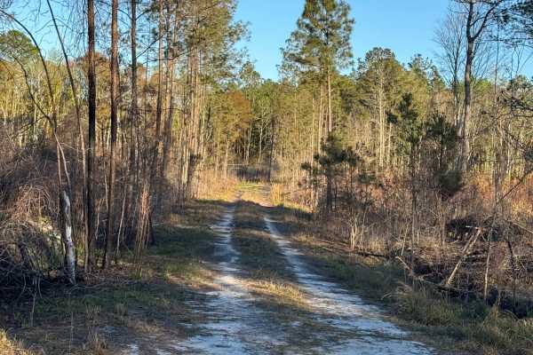
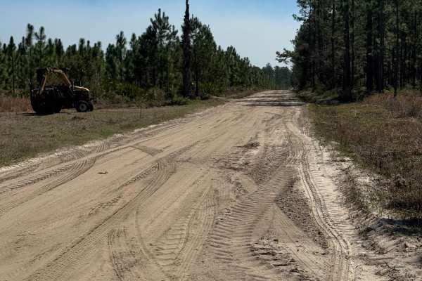
Trail Overview
Flowing Well Road used to terminate at both ends into Lyles Old Field Road. However, a large swampy area near its southeastern end proved difficult to maintain safe passage, so the trail was split, with this part being the major section. The shorter section originates along Lyle's Old Field road but terminates after a short stretch at the transmission line right-of-way. The old trailbed has been unused for so long that the original line is no longer visible. Do not attempt to transit the entire original trail as the section has been deleted from the WMA maps. The trail surface is primarily packed sand with several spots of softer dirt that can become wet during rain events. The trail winds through areas of hardwood swamp, pine thickets, and cultivated and harvested pine stands. The far end of the trail slopes downward into the swamp water and disappears. Continued travel regardless of the vehicle's capability is prohibited. Flowing Well Road is entirely within the Sansavilla WMA, and a valid Georgia Hunting or Fishing license is required to access the trail. Allowed vehicle types are restricted to street-licensed vehicles unless during specified hunts, when other offroad vehicles (ATV, UTV, SxS) are allowed but only during certain hours.