Mule Lot - Osceola NF 279

Total Miles5.1
Technical Rating
3Easy
Best TimeWinter, Spring, Fall
Trail TypeFull-Width Road
Accessible By
Open Trail Map

Trail Overview

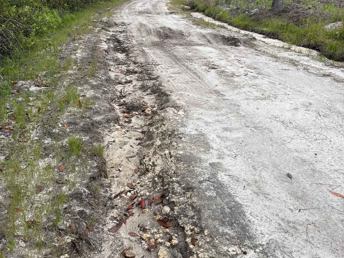
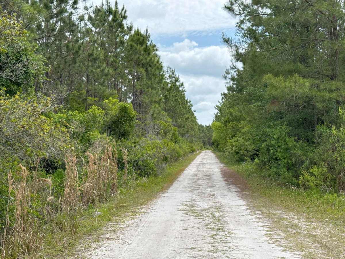
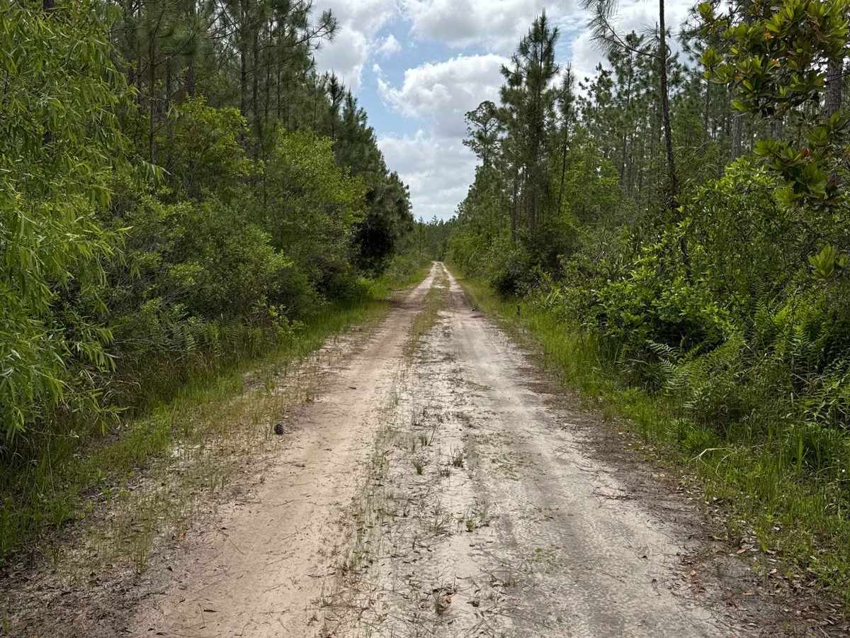
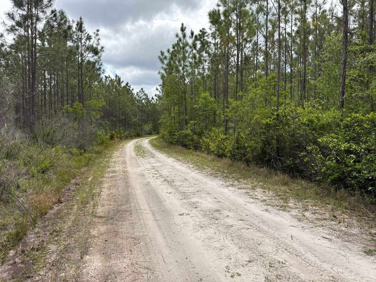
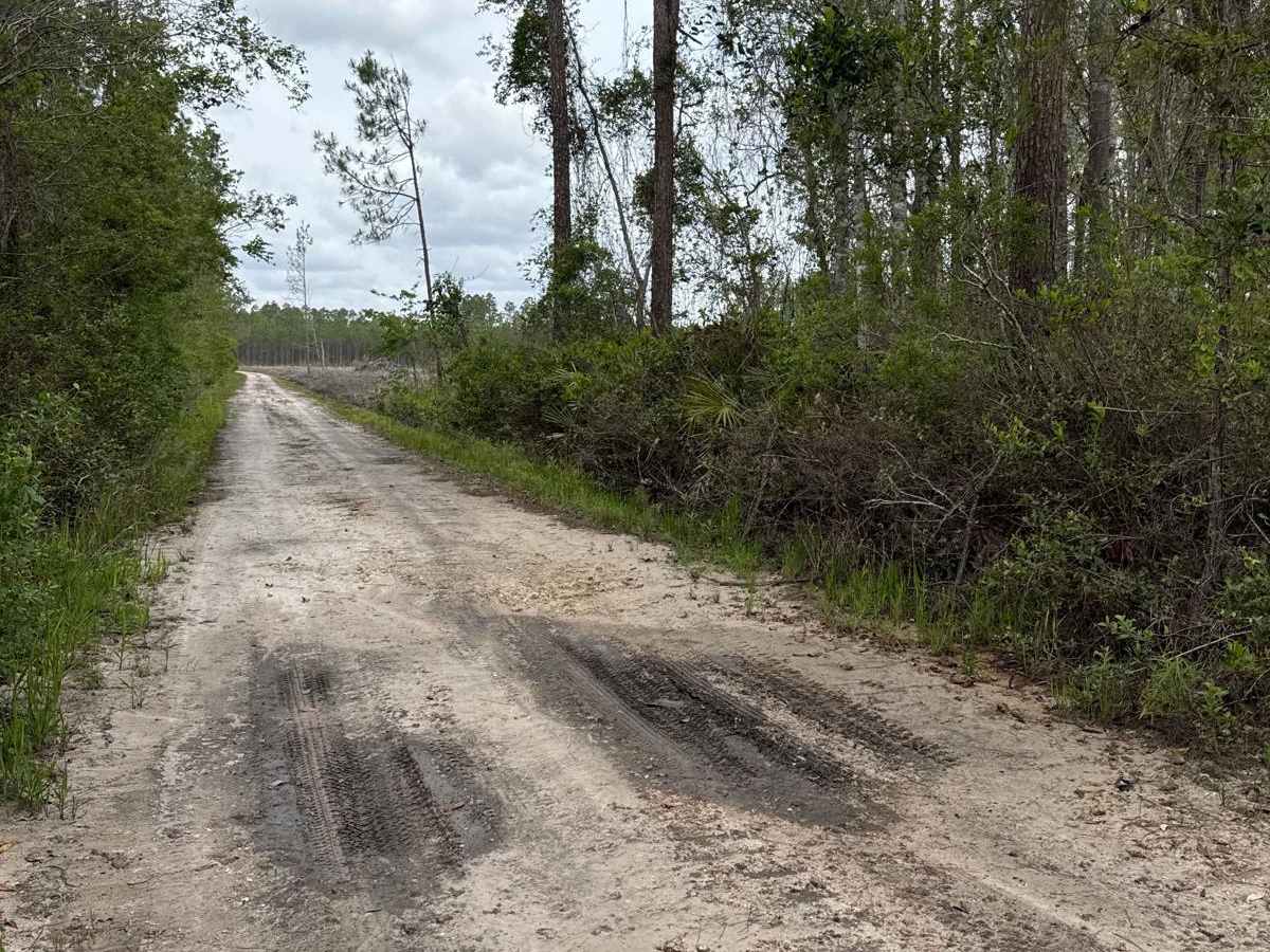
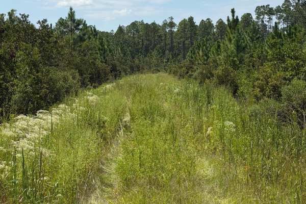
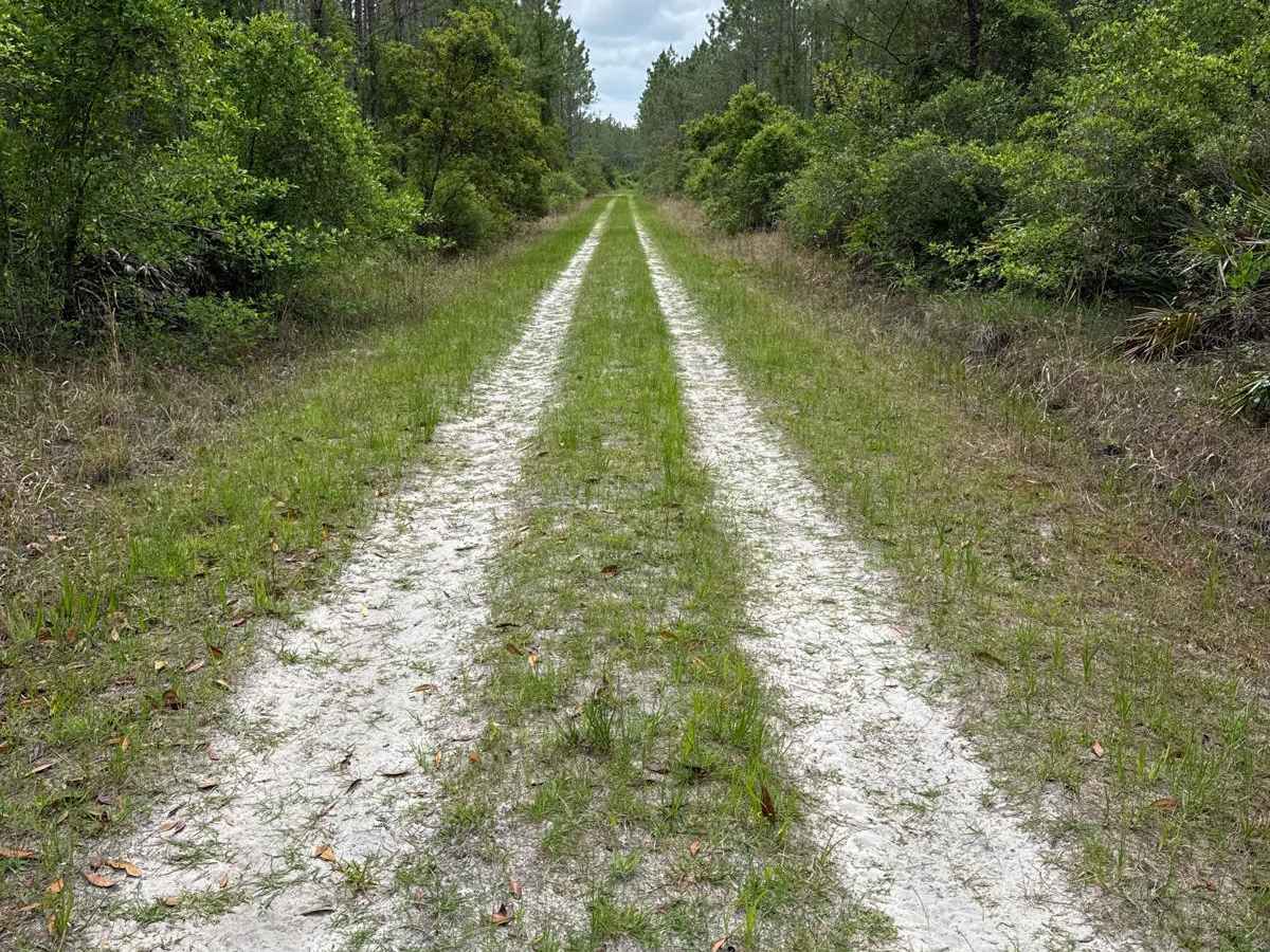
The Mule Lot Trail, also known as Osceola National Forest Road 279, is a 5-mile road that connects Little Suwannee Road at the north end and Sandhill Grade at the south end of the trail. It's the only road that connects the northwestern part of the Osceola National Forest with the main part. The road conditions are a mixture of packed sand, loose sand, some deep holes, and ditches that can turn into 2-foot deep mud holes after rainy days. The road is not always wide enough for two vehicles to pass. 4WD and high clearance are recommended. All vehicles must be street legal. Osceola National Forest is a National Forest located in northeast Florida. It's a peaceful place where people come to escape their busy lives and reconnect with the land. Flatwoods and swamps transport visitors back in time and provide a tranquil setting for first-rate hunting, fishing, and swimming opportunities.

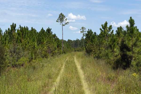
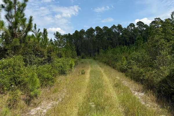
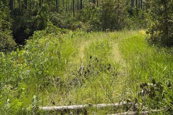
Photos of Mule Lot - Osceola NF 279

Difficulty

The road gets narrower and more challenging as you go further south.

Technical Rating

3

Status Reports

Add Status Report
Matt
Jun 27, 2026
Open
DustyMuddy/Wet
This trail was open and clear for trail riding. There were three small water crossings due to recent rains. The deepest of the three wet areas was apx 18"-24" in depth. In dry weather these areas are unlikely to hold water. Other than this obstacle, the trail was wide and clear for two way traffic.

Mule Lot - Osceola NF 279 Trail can be accessed by the following ride types:

  • Single Track
  • 50 Inch
  • 60 Inch
  • High Clearance
  • Full Width

Mule Lot - Osceola NF 279 Map

The onX Offroad Difference

onX Offroad combines trail photos, descriptions, difficulty ratings, width restrictions, seasonality, and more in a user-friendly interface. Available on all devices, with offline access and full compatibility with CarPlay and Android Auto. Discover what you're missing today!

Open Trail Map