
Beginner Off-Road Trails
Near Sunizona, Arizona
Explore All Beginner Trails Near Sunizona, Arizona
Beginner Off-Road Trails Near Sunizona, Arizona
Discover the best beginner-friendly off-road trails near you. These easier, lower-rated trails are a great place to start — browse trail maps, check difficulty ratings, and find your next adventure.
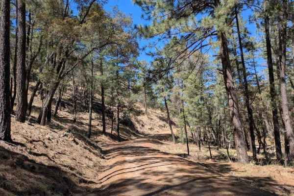
Turkey Creek
The road is graded and well-maintained as it approaches Morse Canyon, where it begins to narrow. Charming cottages dot the route, and there are numerous dispersed campsites along a stream. The road becomes rocky and uneven in places, but there's no off-camber driving. The trail winds through pine ne...
Learn more about Turkey Creek
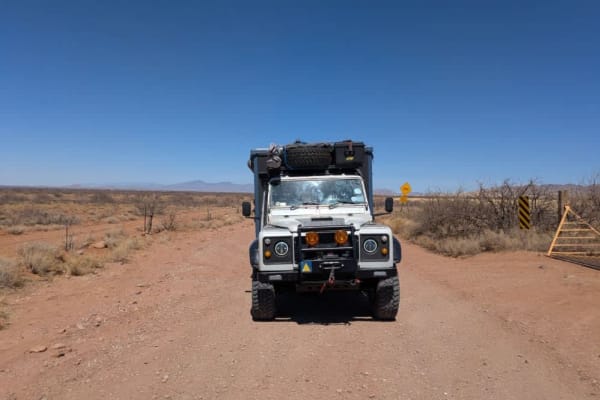
Kuykendall Cut Off
This access road is generally well-maintained but features frequent corrugation, with a series of dips and rises that can create a bumpy ride--airing down is recommended for comfort. The route follows the edge of the Chiricahua foothills, offering sweeping views of rolling grassland hills and rugged...
Learn more about Kuykendall Cut Off
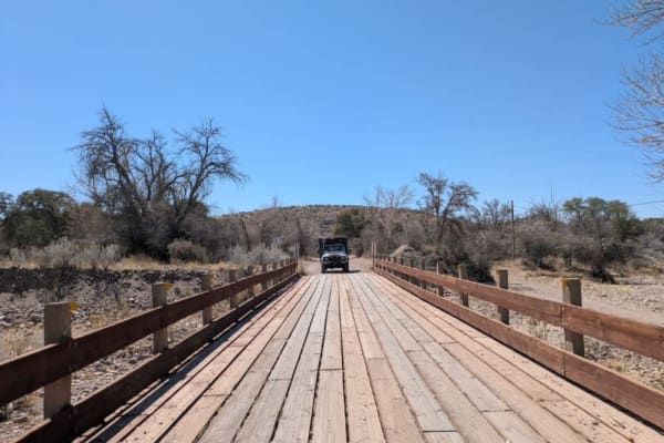
Rucker Canyon Road
This well-maintained and graded access road leads into the Chiricahua Wilderness which forms part of the Coronado National Forest, winding gently through a landscape of scenic ranches and rolling turns--drivers should adjust speed accordingly. The route follows a fenced boundary and offers sweeping ...
Learn more about Rucker Canyon Road
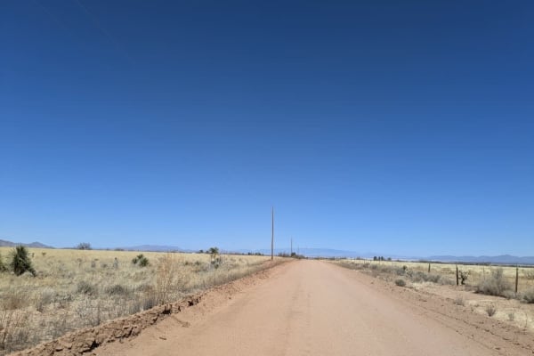
North Wilcox Road
This north-south access road begins as a wide, maintained ranch road, though it is often corrugated. Numerous private properties connect to the route in its early stretches. As it continues, the road narrows and passes alongside open fields before eventually re-entering private land. Camping is not ...
Learn more about North Wilcox Road
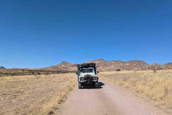
Tex Canyon Road
Tex Canyon Road begins as a well-maintained route before entering forested foothills at the base of the mountains. Several spurs and side trails offer opportunities for exploration. As the road climbs, it becomes moderately rocky but remains navigable. Upon exiting Coronado National Forest, the road...
Learn more about Tex Canyon Road
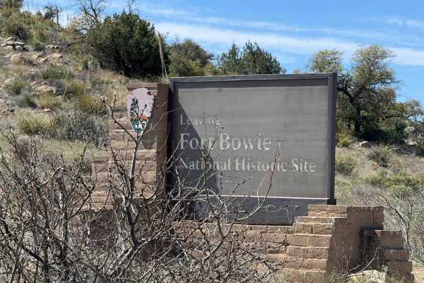
Fort Bowie Trail
This is a back road into Fort Bowie. It has a few overlook locations of the Fort and travels in from Highway 186. This is a historic fort that stood for years during a conflict between the US Government and the Apache tribe. To get to the fort is a short hike but worth it.
Learn more about Fort Bowie Trail
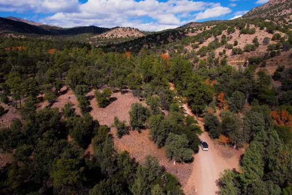
Chiricahua Byway
The Chiricahua Byway is an easy forest trail that takes you across the highest "Sky Island" district in Arizona. This trail provides incredible views of the Sonoran Desert, Mexico, New Mexico, and southern Arizona. There are ample camping spots all along this route from paid sites with toilets to pr...
Learn more about Chiricahua Byway
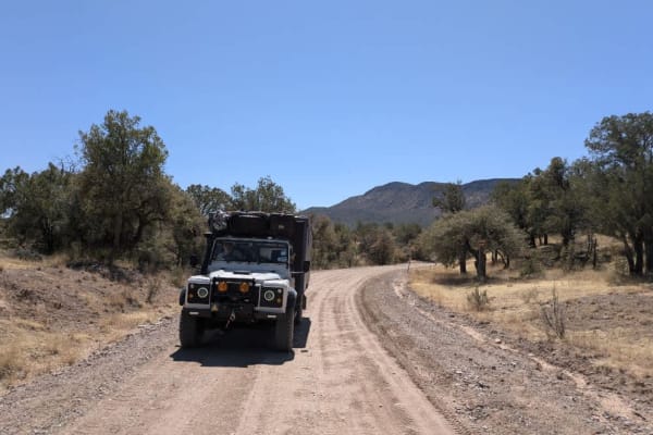
Rucker Canyon
The trail begins at the tidy and well-kept Walnut Grove Campground and starts out on a well-maintained path. Grasslands stretch out to the left and across the valley, gradually giving way to pine forests as you leave the mesquite lowlands behind. The route winds through the hills and becomes moderat...
Learn more about Rucker Canyon
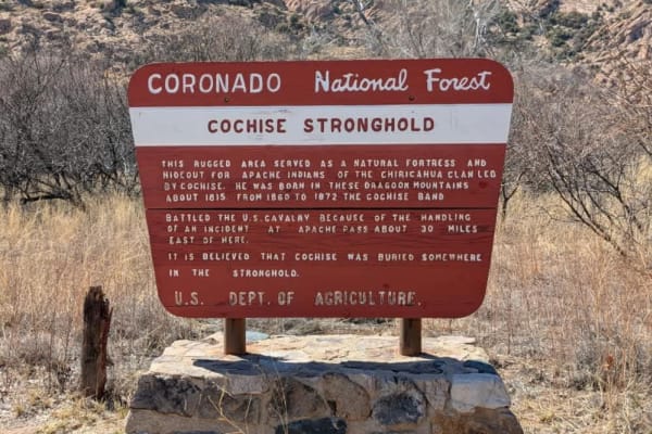
Cochise Stronghold
The trail is wide and maintained, though often corrugated, and crosses several cattle guards as it leads to two main camping areas. The first is located in the foothills and is spacious and popular with campers. The second is set in a forested area surrounded by rocky outcrops, featuring paved camps...
Learn more about Cochise Stronghold
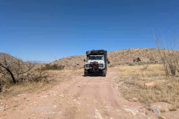
Blacktail Hill
As soon as you pass through the gate onto BLM land, the road improves significantly. Although there are a few washes and mildly off-camber sections, the trail is easy to drive and generally not challenging. It offers sweeping views of the valleys and salt flats, with dispersed camping available alon...
Learn more about Blacktail Hill
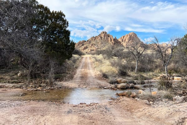
Slavin to West Stronghold
Slavin Forest Road 687 lies within Coronado National Forest. Most of the trail is smooth sandy gravel with incredible views of Council Rocks. Once reaching the gate at Corazon Ranch and turning onto West Stronghold FR 688 the road becomes more technical and narrow with washouts and many creek crossi...
Learn more about Slavin to West Stronghold
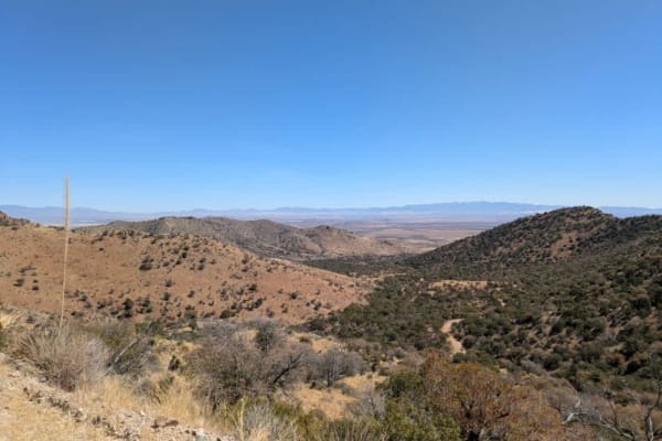
Middlemarch Pass
At the base of Middlemarch Pass lies the popular Slavin Trail, offering numerous dispersed camping spots with sweeping views of Tombstone. The area is known for its scenic beauty, but strong winds can pick up in the afternoon and may return during the night. The trail begins as a wide and relativel...
Learn more about Middlemarch Pass

Tex Canyon Road
Tex Canyon Road begins as a well-maintained route before entering forested foothills at the base of the mountains. Several spurs and side trails offer opportunities for exploration. As the road climbs, it becomes moderately rocky but remains navigable. Upon exiting Coronado National Forest, the road...
Learn more about Tex Canyon Road
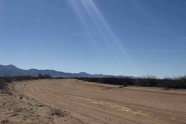
Rosewood Road
Rosewood Road is a State Trust route that cuts across the desert, connecting Ss1181 to Ss1180. The trail features desert creosote, yucca trees, and sandy terrain. 4WD with high clearance is recommended. Running east to west, it offers scenic views of the surrounding mountains. There are no technical...
Learn more about Rosewood Road
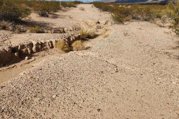
Bowie to Nowhere
This is a true road to nowhere. As you follow this road out of Bowie to get back to Hot Well Area, the trail almost disappears at times, opening up again with a good track. There are many tracks that look fairly fresh.
Learn more about Bowie to Nowhere
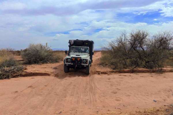
Railroad Trail
The Railway Trail runs alongside the train tracks and is entirely unmaintained. It is a narrow, winding route where pinstriping is likely, and it crosses numerous washes that may become difficult to navigate during or after rainfall. The trail surface is predominantly rocky, though there are occasio...
Learn more about Railroad Trail
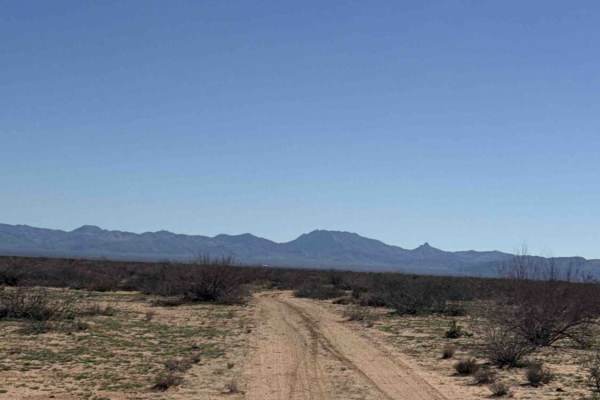
Ss1180
Trail Ss1180 branches off Ss1181 and heads south across open desert terrain. Shortly after beginning, you’ll climb a small hill and enter a tight section of trees where pinstripes are almost guaranteed. Fortunately, this narrow stretch is short, and the trail widens again soon after. This is a very ...
Learn more about Ss1180
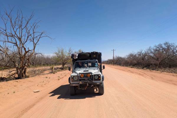
SS1181
SS1181 is a wide, well-maintained gravel road that provides access to the Hot Well Dunes from the south. The route serves dual purposes, accommodating both weekend tourist traffic and agricultural vehicles, which contributes to its occasional wash boarding and rough surface in spots. Drivers should ...
Learn more about SS1181
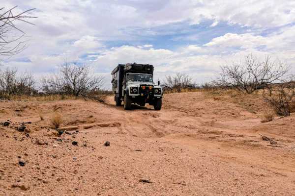
East Ten Ranch Road
East Ten Ranch Road is a long, straight dirt track that leads from Highway 191 toward the Hot Well Dunes. As of March 25, 2025, the road has been recently maintained and is generally smooth and easy to drive, though drivers may encounter occasional humps and bumps. Travelers will pass through severa...
Learn more about East Ten Ranch Road
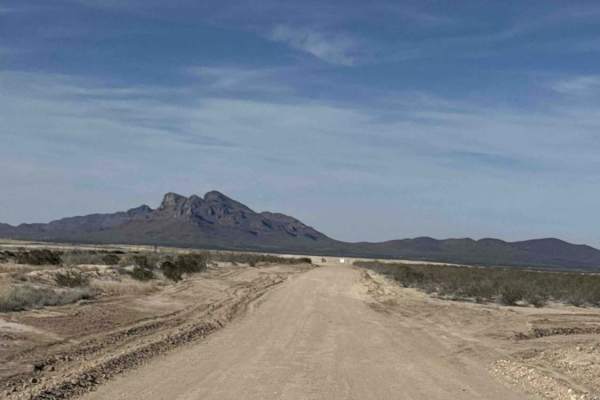
Ss1134d
Trail Ss1134d is an emergency evacuation route for the mining operation now in place at the end of this trail. Traveling to the north, it is a wide track road that offers a beautiful view of Javelina Peak. At the end of the road, you will come to the other side of Ss1134; however, all of these trail...
Learn more about Ss1134d
Beginner ATV trails near Sunizona, Arizona
Explore ATV-friendly trails near you. These trails are accessible for vehicles up to 50 inches wide, perfect for ATVs and smaller off-road machines.
Turkey Creek
The road is graded and well-maintained as it approaches Morse Canyon, where it begins to narrow. Charming cottages dot the route, and there are numerous dispersed campsites along a stream. The road becomes rocky and uneven in places, but there's no off-camber driving. The trail winds through pine ne...
Learn more about Turkey Creek
Kuykendall Cut Off
This access road is generally well-maintained but features frequent corrugation, with a series of dips and rises that can create a bumpy ride--airing down is recommended for comfort. The route follows the edge of the Chiricahua foothills, offering sweeping views of rolling grassland hills and rugged...
Learn more about Kuykendall Cut Off
Rucker Canyon Road
This well-maintained and graded access road leads into the Chiricahua Wilderness which forms part of the Coronado National Forest, winding gently through a landscape of scenic ranches and rolling turns--drivers should adjust speed accordingly. The route follows a fenced boundary and offers sweeping ...
Learn more about Rucker Canyon Road
North Wilcox Road
This north-south access road begins as a wide, maintained ranch road, though it is often corrugated. Numerous private properties connect to the route in its early stretches. As it continues, the road narrows and passes alongside open fields before eventually re-entering private land. Camping is not ...
Learn more about North Wilcox Road
Beginner UTV/side-by-side trails near Sunizona, Arizona
Find UTV and side-by-side trails near you. These trails accommodate vehicles up to 60 inches wide, ideal for UTVs, side-by-sides, and wider off-road rigs.
Turkey Creek
The road is graded and well-maintained as it approaches Morse Canyon, where it begins to narrow. Charming cottages dot the route, and there are numerous dispersed campsites along a stream. The road becomes rocky and uneven in places, but there's no off-camber driving. The trail winds through pine ne...
Learn more about Turkey Creek
Kuykendall Cut Off
This access road is generally well-maintained but features frequent corrugation, with a series of dips and rises that can create a bumpy ride--airing down is recommended for comfort. The route follows the edge of the Chiricahua foothills, offering sweeping views of rolling grassland hills and rugged...
Learn more about Kuykendall Cut Off
Rucker Canyon Road
This well-maintained and graded access road leads into the Chiricahua Wilderness which forms part of the Coronado National Forest, winding gently through a landscape of scenic ranches and rolling turns--drivers should adjust speed accordingly. The route follows a fenced boundary and offers sweeping ...
Learn more about Rucker Canyon Road
North Wilcox Road
This north-south access road begins as a wide, maintained ranch road, though it is often corrugated. Numerous private properties connect to the route in its early stretches. As it continues, the road narrows and passes alongside open fields before eventually re-entering private land. Camping is not ...
Learn more about North Wilcox Road
The onX Offroad Difference
onX Offroad combines trail photos, descriptions, difficulty ratings, width restrictions, seasonality, and more in a user-friendly interface. Available on all devices, with offline access and full compatibility with CarPlay and Android Auto. Discover what you're missing today!
Open Trail Map