Trail Overview
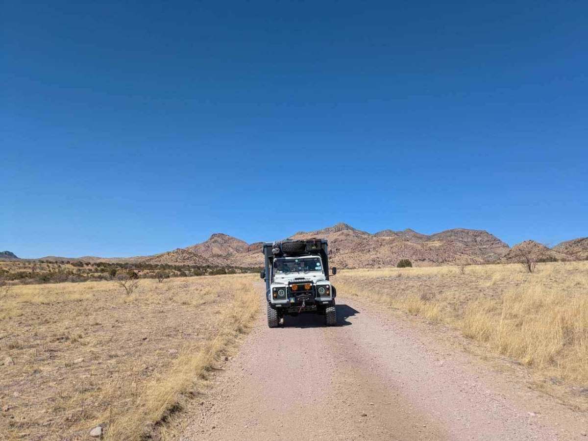
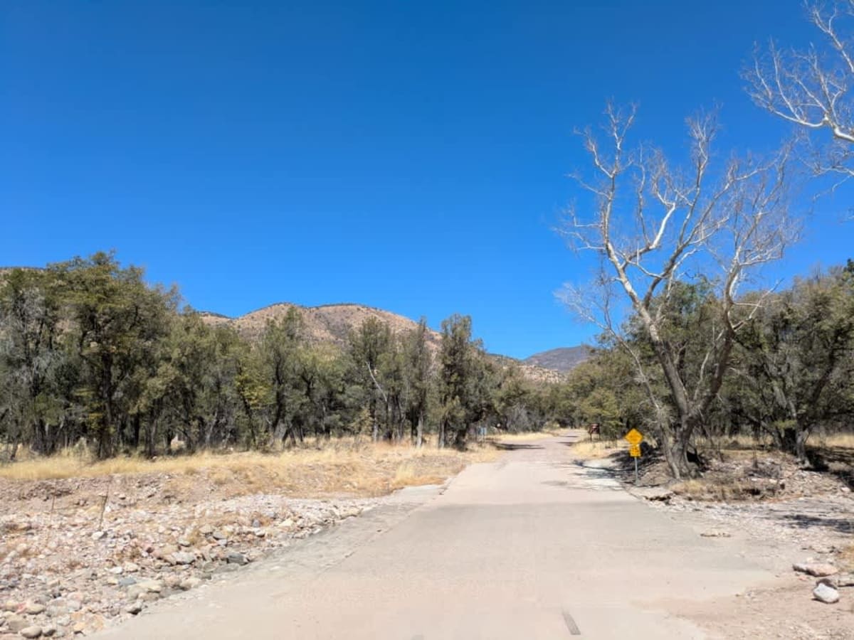
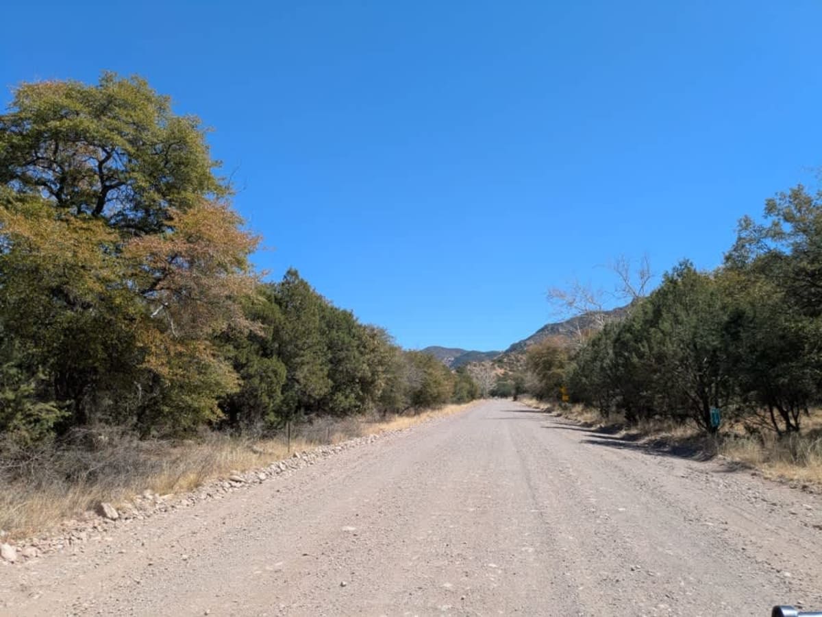
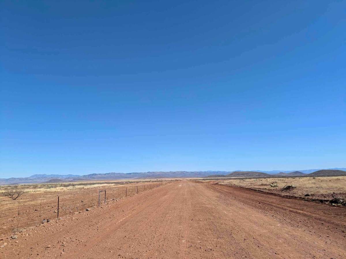
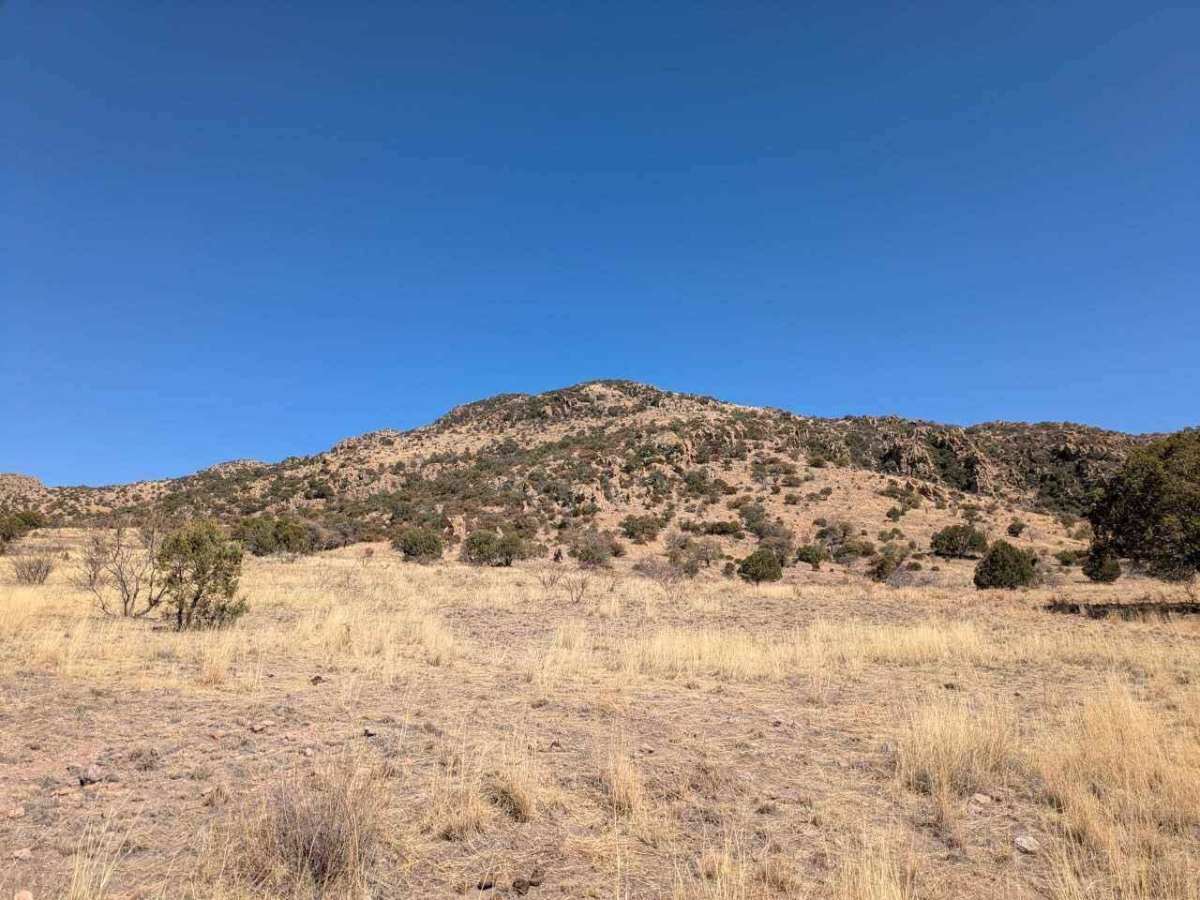
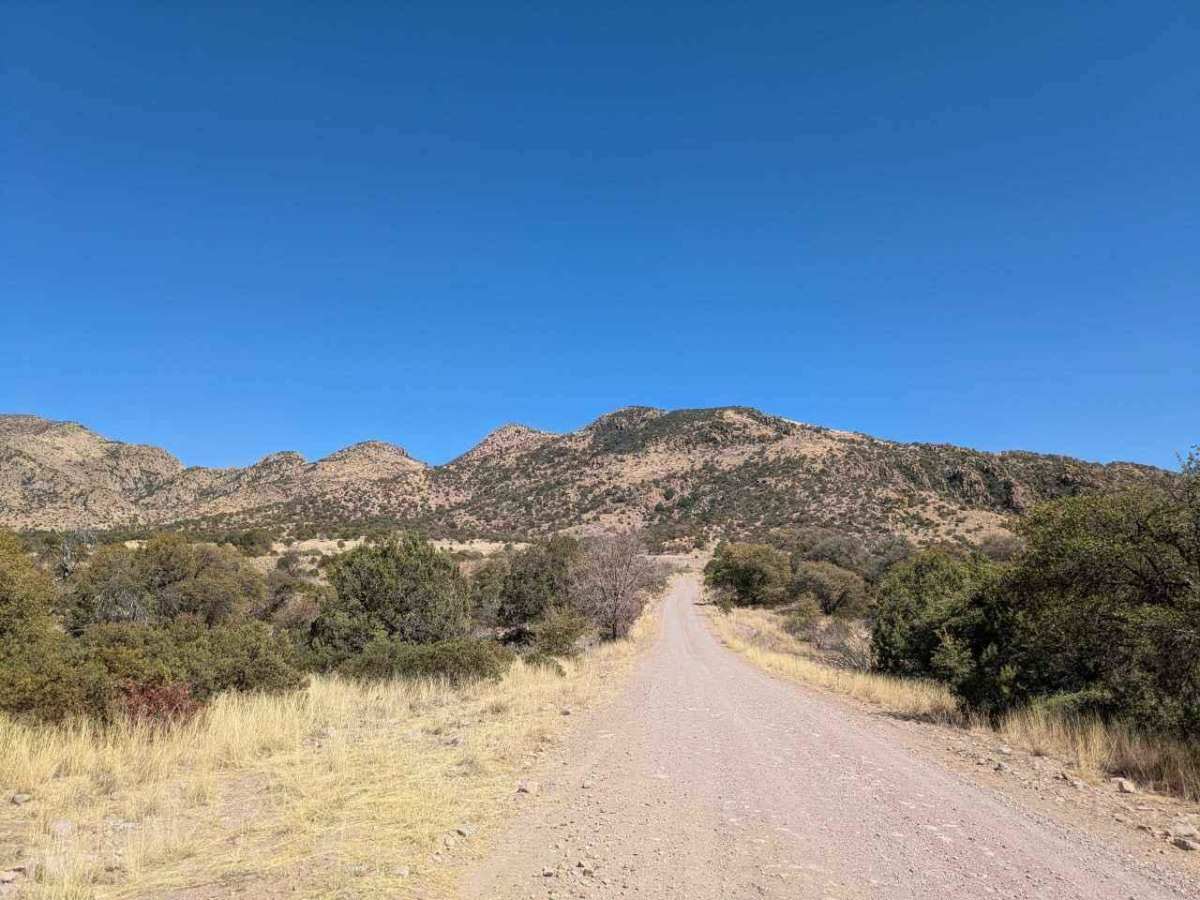
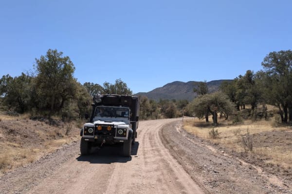
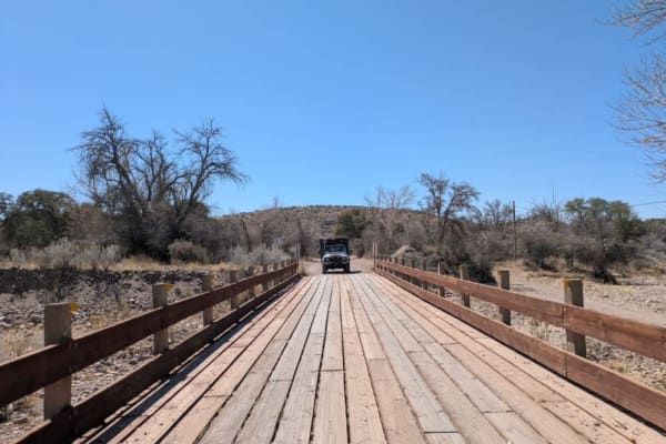
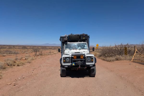
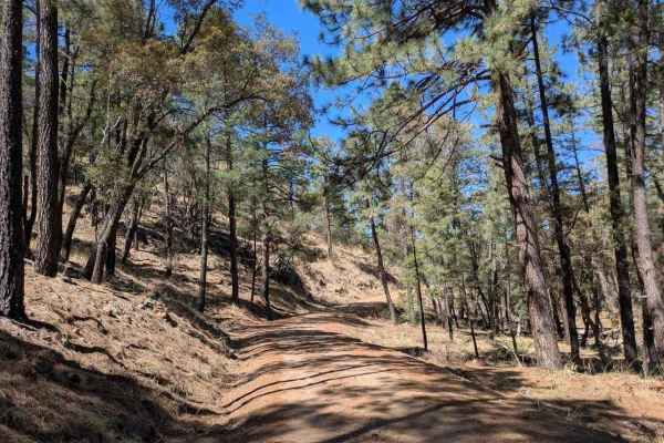
Tex Canyon Road begins as a well-maintained route before entering forested foothills at the base of the mountains. Several spurs and side trails offer opportunities for exploration. As the road climbs, it becomes moderately rocky but remains navigable. Upon exiting Coronado National Forest, the road returns to a well-graded condition. Swede Peak, an imposing granite butte, rises to the left, while Limestone Mountain stands to the right. As the route curves southeast, expansive views open up across the San Bernardino Valley toward the Peloncillo Mountains, which roughly follow the New Mexico state line.
History
The Chiricahua Wilderness spans 87,700 acres of rugged terrain, encompassing the upper slopes and canyons of the largest mountain range in the Sky Island region. Topped by 9,797-foot Chiricahua Peak, the area is known for its striking geology and remarkable biodiversity. Subtropical species more common to Mexico and Central America thrive here alongside native wildlife, drawing nature enthusiasts from around the world. Sharp ridges, high peaks, and deep canyons define this wild landscape, which once served as a stronghold for the Chiricahua Apaches, including leaders Cochise and Geronimo. In later years, prospectors, loggers, and ranchers were drawn to its remote beauty.