
Beginner Off-Road Trails
Near Stotonic Village, Arizona
Explore All Beginner Trails Near Stotonic Village, Arizona
Beginner Off-Road Trails Near Stotonic Village, Arizona
Discover the best beginner-friendly off-road trails near you. These easier, lower-rated trails are a great place to start — browse trail maps, check difficulty ratings, and find your next adventure.
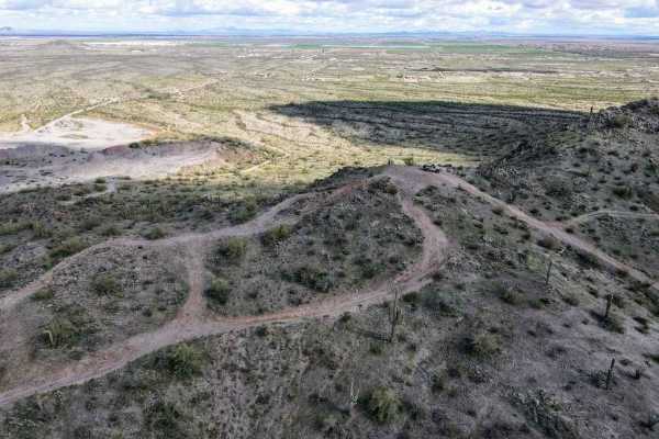
Top Of The World
This is a short leisurely cruise through the desert. It is great for beginners, sightseeing, or testing out new parts. Parts of this trail pass through Arizona Trust Land, so a pass is required. The vast majority of this trail is a single-lane dirt road, with a few wash crossings. The highlight of t...
Learn more about Top Of The World
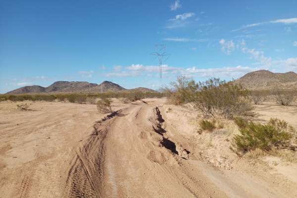
Haley Hills West Leg
This is a connection that links the Upland BLM Inlet Trail, Booth Hills Trail, and several nearby dirt roads. This makes it possible to get to the Booth Hills trail from Upland Street and vice versa, and saves going around the back of the mountain pass, needlessly wasting time.
Learn more about Haley Hills West Leg
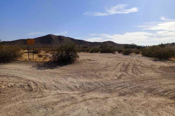
Desert Valley BLM Inlet
This trail connects Desert Valley Road to numerous BLM trails and to the Vekol Wash, which are popular 4x4, SxS, and horse riding areas. One of the southern forks also leads to The Waterfalls Trail through some very winding and picturesque terrain. There is good cellular coverage throughout most of ...
Learn more about Desert Valley BLM Inlet
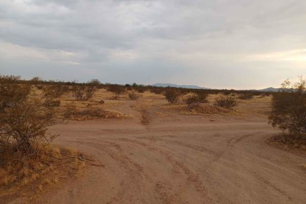
Barnes BLM Inlet
Barnes Rd Entrance to BLM Lands and Trails, Barnes Rd Staging area also here on the right and left side of the trail, lots of room for truck/trailer and unloading. There is a nice view from the top of Barnes Hill overlooking all directions that is a good spot for doing Panoramic Photos.
Learn more about Barnes BLM Inlet
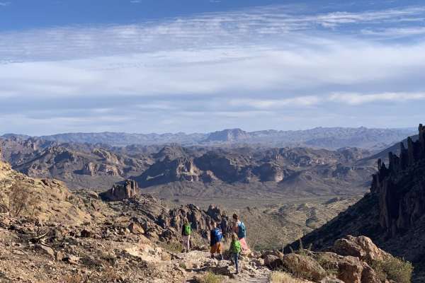
Peralta road
Peralta road is an easy, graded dirt road. Although the road is not challenging, it still leads to great views and has plenty of turn-offs for dispersed camping. If you are into hiking, this road ends at a trailhead for miles of great hiking. The trailhead has a restroom, but it can be crowded.
Learn more about Peralta road
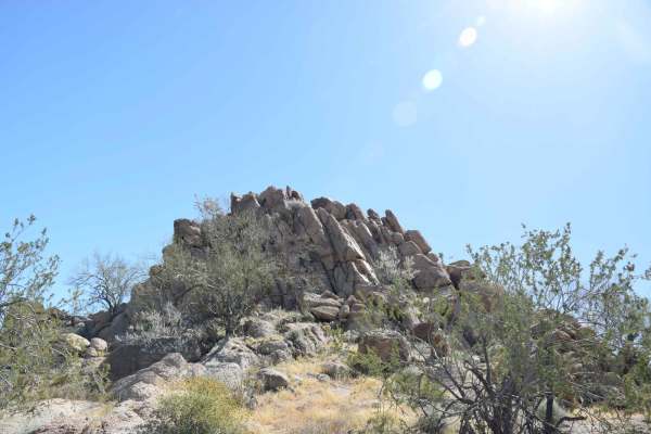
Backway to Waterfall
This easy backway to the waterfall trail makes for a fun drive with plenty of stops throughout. Along the way, you will find small and large rock features that will be great for stops for groups as well as for picture taking. It is suggested to have 4WD and high clearance for some areas and the Wate...
Learn more about Backway to Waterfall
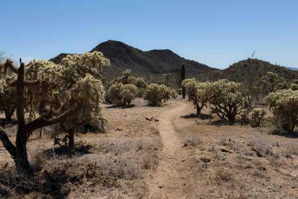
Bh1278 Singletrack
This dirt bike trail is a true singletrack through the BLM land north of Interstate 8, compared to the many wide wash trails. It goes through a flat desert terrain for 0.8 miles, on a skinny trail through cholla gardens and next to towering saguaro cactus. The trail weaves through the cactus with ge...
Learn more about Bh1278 Singletrack
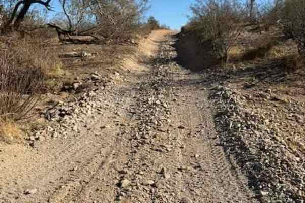
Nw2014
Nw2014 is located to the East of Arizona State Route 79 and South of the Box Canyon trail. It connects Box Canyon to the main North/South Nw2006 trail. The trail consists of dirt, small loose rocks, and minor ruts. Full-size vehicles are susceptible to pinstriping. One bar of Verizon LTE service was...
Learn more about Nw2014
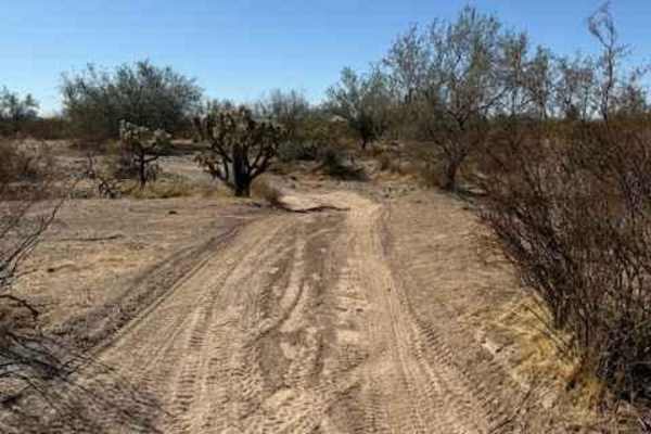
Nw2230
Nw2230 is located to the East of AZ State Route 79 and North of the Box Canyon trail. Coming from Box Canyon, it is a little difficult to find at first because of the dirt bike play area. The trail is a mix of single track and wash. Not suitable for full-size vehicles. Pinstriping is imminent and lo...
Learn more about Nw2230
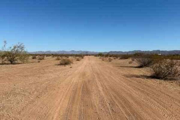
Nw2006
Nw2006 is located to the East of Arizona State Route 79. This is the main North/South connection between WhoopDeDo Roller Coaster and Box Canyon trails. This dirt trail is wide and suitable for full-size vehicles. There are plenty of large campsites suitable for large trailers and RVs on the sides. ...
Learn more about Nw2006
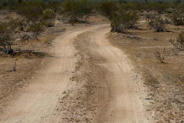
Hidden Valley Road
This is a road-width trail through BLM land that connects BLM route Bh1367 to private property. The trail is unmarked and looks like it gets used by full-width vehicles. It is a mix of sand and hard-packed dirt and a few loose rocks, traveling through wide open desert terrain for 1.3 miles. The trai...
Learn more about Hidden Valley Road
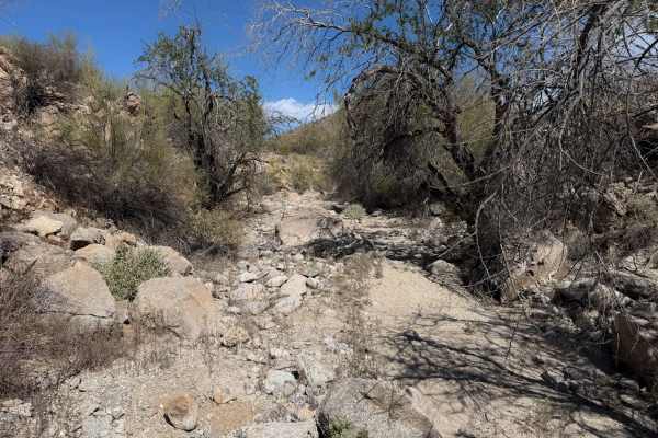
Hidden Valley Wash
This is a fun dirt bike trail through BLM land near the Hawk Hills. Although less than a mile long, it has some fun rocky sections that make it more interesting for the average rider. The trail starts off in easy desert flats, but is primitive through the creosote bushes. At times, it is wide open l...
Learn more about Hidden Valley Wash
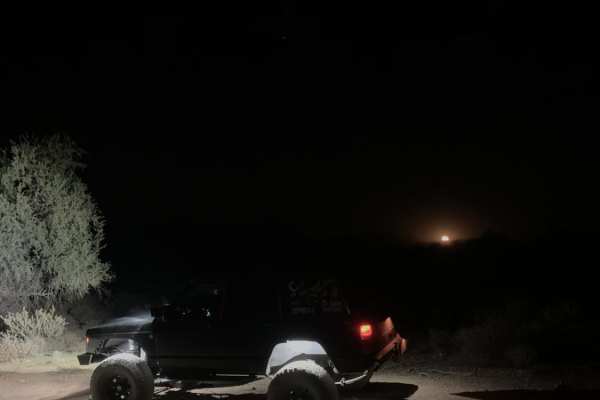
Bulldog Wash
This trail is just off Ellsworth Road and takes you right to Bulldog Canyon trail. Most of it is a sandy wash that weaves around the Arizona desert. Expect some canyon walls, with one rocky section and a dirt and rock hill halfway through the trail. You will need a code to access this trail. The cod...
Learn more about Bulldog Wash
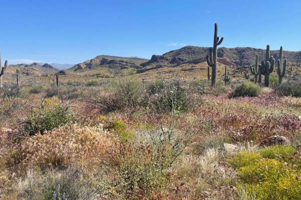
First Water Trail
A relatively flat, bumpy trail leads to the First Water Trailhead and access to the beautiful Superstition Wilderness. Four-wheel drive is not required, however, several washes exist on the trail that are prone to drastic flash flooding. Please monitor weather patterns before use. There is no overni...
Learn more about First Water Trail
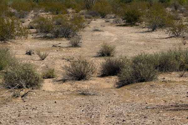
Hidden Valley
This is a 1.3-mile-long segment of primitive dirt bike trail through BLM land, accessed off of BLM Route 1273. The trail is lightly trafficked and faint at times, and will require some good navigation and a GPS track. It goes through a flat and barren desert terrain over hard-packed dirt and gravel,...
Learn more about Hidden Valley
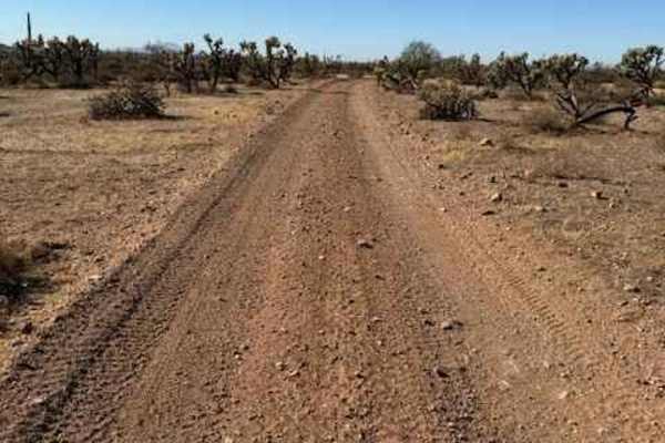
Nw2006a
Nw2006a is located to the East of Arizona State Route 79 and South of the Box Canyon trail. This is a side trail to the main North/South Nw2006 trail. The trail consists of dirt and small rocks. It is wide and suitable for full-size vehicles. One bar of Verizon LTE service was available.
Learn more about Nw2006a
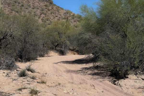
Bh1270
This is a 2.2-mile-long desert trail through the BLM land north of the Table Top Wilderness and Interstate 8. The east end of the trail departs from a more major desert road (Bh1271), and it meanders west through a flat desert terrain on a mix of hard-packed dirt and sand. The trail enters a wide sa...
Learn more about Bh1270
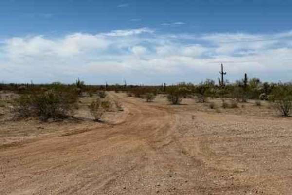
Nw2233
Nw2233 is located to the East of Arizona State Route 79 and South of the Box Canyon trail. This side trail connects Nw2006 to Nw2014 and consists of dirt and small rocks. It is a single track with places to pass. Pinstriping is possible for full-size vehicles. One bar of Verizon LTE service was avai...
Learn more about Nw2233
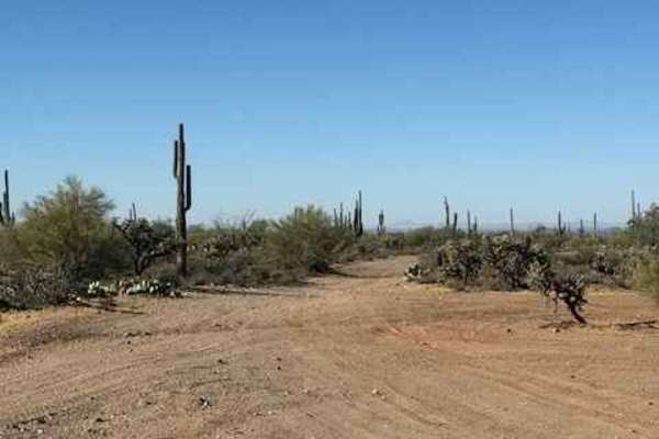
Nw2010
This is a main North/South trail through Arizona State Trust Land connecting Upper Woodpecker to WhoopDeDo Roller Coaster. This is a wide dirt road suitable for 2WD vehicles with plenty of room to pass. Large campsites are present off this road. Arizona State Trust Land requires a permit. An individ...
Learn more about Nw2010
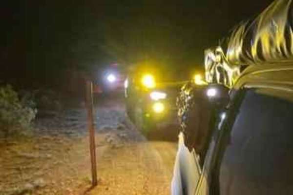
Smooth Sailing
After traveling down Maricopa Road 238 and exiting on 99th Avenue in Mobile, turn down a gas pipeline road and you will find an easy trail next to Road 8054. This easy but fun trail leads you on a journey back to 238. This is an amazing place to do night photography.
Learn more about Smooth Sailing
Beginner ATV trails near Stotonic Village, Arizona
Explore ATV-friendly trails near you. These trails are accessible for vehicles up to 50 inches wide, perfect for ATVs and smaller off-road machines.
Top Of The World
This is a short leisurely cruise through the desert. It is great for beginners, sightseeing, or testing out new parts. Parts of this trail pass through Arizona Trust Land, so a pass is required. The vast majority of this trail is a single-lane dirt road, with a few wash crossings. The highlight of t...
Learn more about Top Of The World
Haley Hills West Leg
This is a connection that links the Upland BLM Inlet Trail, Booth Hills Trail, and several nearby dirt roads. This makes it possible to get to the Booth Hills trail from Upland Street and vice versa, and saves going around the back of the mountain pass, needlessly wasting time.
Learn more about Haley Hills West Leg
Desert Valley BLM Inlet
This trail connects Desert Valley Road to numerous BLM trails and to the Vekol Wash, which are popular 4x4, SxS, and horse riding areas. One of the southern forks also leads to The Waterfalls Trail through some very winding and picturesque terrain. There is good cellular coverage throughout most of ...
Learn more about Desert Valley BLM Inlet
Barnes BLM Inlet
Barnes Rd Entrance to BLM Lands and Trails, Barnes Rd Staging area also here on the right and left side of the trail, lots of room for truck/trailer and unloading. There is a nice view from the top of Barnes Hill overlooking all directions that is a good spot for doing Panoramic Photos.
Learn more about Barnes BLM Inlet
Beginner UTV/side-by-side trails near Stotonic Village, Arizona
Find UTV and side-by-side trails near you. These trails accommodate vehicles up to 60 inches wide, ideal for UTVs, side-by-sides, and wider off-road rigs.
Top Of The World
This is a short leisurely cruise through the desert. It is great for beginners, sightseeing, or testing out new parts. Parts of this trail pass through Arizona Trust Land, so a pass is required. The vast majority of this trail is a single-lane dirt road, with a few wash crossings. The highlight of t...
Learn more about Top Of The World
Haley Hills West Leg
This is a connection that links the Upland BLM Inlet Trail, Booth Hills Trail, and several nearby dirt roads. This makes it possible to get to the Booth Hills trail from Upland Street and vice versa, and saves going around the back of the mountain pass, needlessly wasting time.
Learn more about Haley Hills West Leg
Desert Valley BLM Inlet
This trail connects Desert Valley Road to numerous BLM trails and to the Vekol Wash, which are popular 4x4, SxS, and horse riding areas. One of the southern forks also leads to The Waterfalls Trail through some very winding and picturesque terrain. There is good cellular coverage throughout most of ...
Learn more about Desert Valley BLM Inlet
Barnes BLM Inlet
Barnes Rd Entrance to BLM Lands and Trails, Barnes Rd Staging area also here on the right and left side of the trail, lots of room for truck/trailer and unloading. There is a nice view from the top of Barnes Hill overlooking all directions that is a good spot for doing Panoramic Photos.
Learn more about Barnes BLM Inlet
The onX Offroad Difference
onX Offroad combines trail photos, descriptions, difficulty ratings, width restrictions, seasonality, and more in a user-friendly interface. Available on all devices, with offline access and full compatibility with CarPlay and Android Auto. Discover what you're missing today!
Open Trail Map