
Beginner Off-Road Trails
Near Smith, Nevada
Explore All Beginner Trails Near Smith, Nevada
Beginner Off-Road Trails Near Smith, Nevada
Discover the best beginner-friendly off-road trails near you. These easier, lower-rated trails are a great place to start — browse trail maps, check difficulty ratings, and find your next adventure.
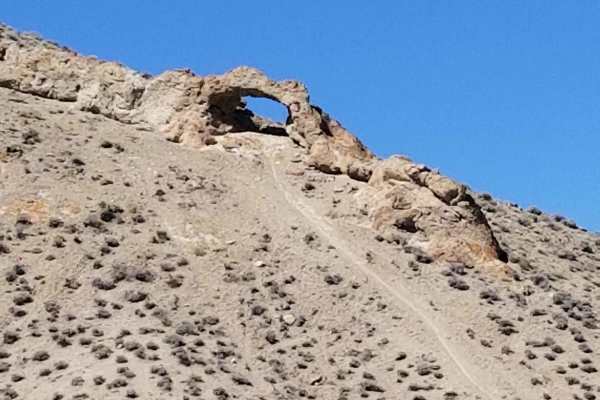
Backway to Wilson Spring Arch
Wilson Spring Arch is a good-sized natural arch. This route leads you into the Pine Nut Range. Besides the arch, you can reach sites like Pine Grove and Rockland. The trail starts following a creek bed, which is dry most of the time. After the creek bed, you climb over the hills into the next valley...
Learn more about Backway to Wilson Spring Arch
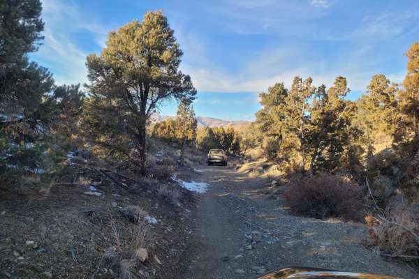
Wellington Hills Road - 42778
This out and back, double-track, dirt trail mostly accommodates one-way traffic. It begins at Eastside Lane and gradually rises in elevation into the Wellington Hills, located in Toiyabe National Forest. There are vistas of Antelope Valley and the snow-capped Sierra Nevada mountain range to the east...
Learn more about Wellington Hills Road - 42778
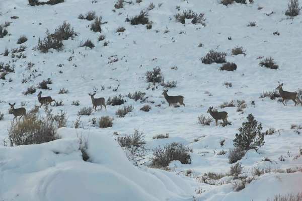
Seven Deer Trail
Beginning at the Lake Topaz picnic area the graded dirt road becomes narrower and is single-vehicle wide. Ascending to 5,971 feet this is mostly a packed gravel trail. There are some steep and very rocky sections of 12" rocks and ledges that traverse the trail. These sections are about 20 feet long....
Learn more about Seven Deer Trail
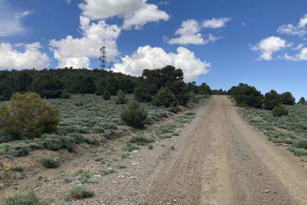
Microwave Road FS 42192
Incredible vistas and solitude are the rewards for choosing Microwave Road. It is passenger car friendly and rated an Easy1. Microwave Road is a wide well-maintained gravel road that allows two cars to pass. Located at the end of Microwave Road is a microwave communication station and tower. Microwa...
Learn more about Microwave Road FS 42192
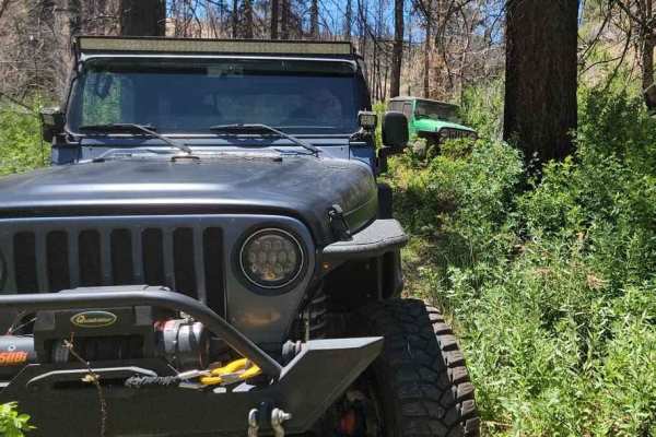
Poison Creek
The trail begins on a dirt road just off Highway 395 and quickly descends into a lush valley. In this valley, the path follows a creek, winding in and out of dense vegetation. At times, the vehicle feels like it's traveling through a tunnel formed by the overhanging trees and greenery. While the tra...
Learn more about Poison Creek
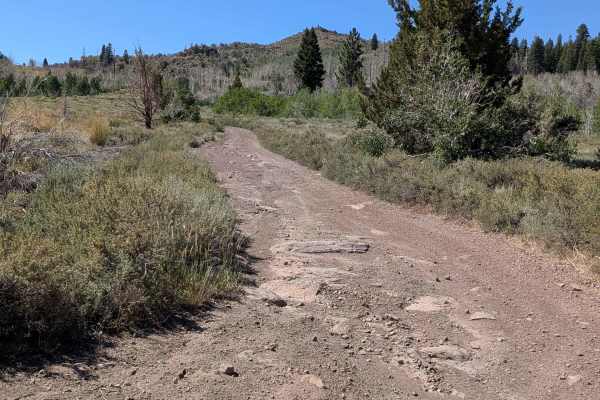
Big Spring Spur Road
Big Spring Spur Road is a scenic dirt route in the Toiyabe National Forest, accessed from Highway 89, about 7.5 miles west of the Highway 395/89 Junction. This rugged path takes you through open meadows, rolling ridgelines, and offers striking views of the surrounding mountain ranges. The road surfa...
Learn more about Big Spring Spur Road
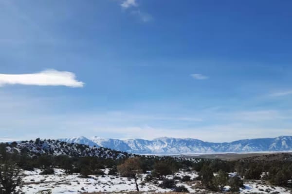
P-10 Trail
Named by the BLM, P-10 is a North/South trail passing along the East side of the Carson Valley. On the North it intersects Sunrise Pass (BLM R-09), and in the South intersecting with Pine Nut Road II (BLM P-11). P-10 is an easy trail, consisting of dirt, sand, and some rocky sections. There is a min...
Learn more about P-10 Trail
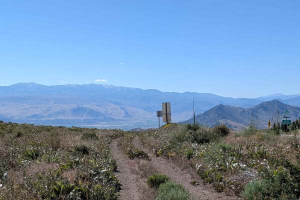
Virgil Connell Loop Road - FS 32087
Virgil Connell Loop Road, also known as Forest Service Road 32087, begins at the top of the grade off Highway 89, offering sweeping views of the Lake Topaz basin and surrounding mountain ranges. From the start, the trail parallels the highway before dropping into a wide-open valley flanked by rugged...
Learn more about Virgil Connell Loop Road - FS 32087
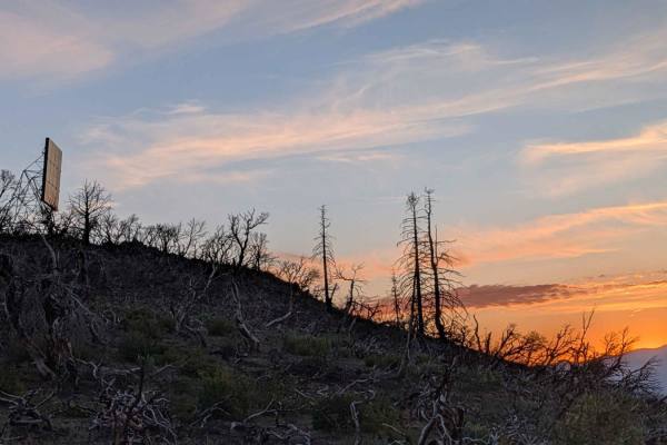
Reflector Road
This trail becomes very rocky and bouncy with off-camber sections. There are many low trees to get under. But the end of the trail rewards you with scenic views of various valleys and surrounding hillsides and mountains in the distance. There is a radio reflector at the end, hence the name of the...
Learn more about Reflector Road
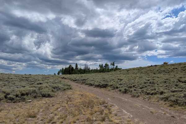
Leviathan Bypass - FS 31353
Accessed from Big Spring Road West, this lesser-known offshoot delivers a peaceful backcountry ride through sagebrush meadows and an Aspen forest that truly comes alive in the fall. The trail is one vehicle wide and winds gently through vibrant vegetation, gradually climbing over 300 feet from south...
Learn more about Leviathan Bypass - FS 31353
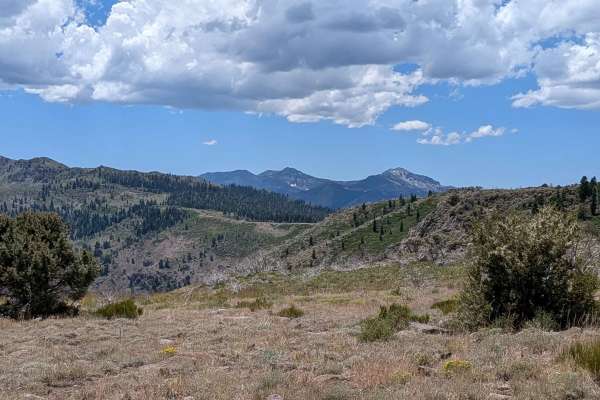
Two Road Road - FS 31358D
This trail, Two Road Road (yes, there are two Roads in the name), is accessed off Monitor Pass Road. This scenic dirt track winds through a peaceful aspen forest before gradually climbing up the hillside. Early on, the trail meanders through stands of tall, white-barked trees, especially beautiful i...
Learn more about Two Road Road - FS 31358D
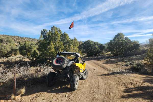
Pine Nuts P-16 Trail
Traveling East from the Carson Valley, P-16 Trail will take you into the heart of the Pine Nut Mountains. It is a one-lane winding mountain trail that gains altitude as you go East. The trail is lined with Juniper trees and Pinion Pines, with some open areas, and offers grand views of the Sierra Fro...
Learn more about Pine Nuts P-16 Trail
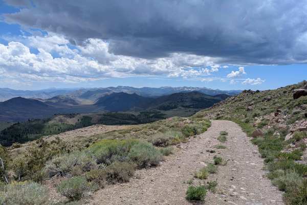
Leviathan Lookout - FS 31057
This trail to Leviathan Lookout delivers a short but thrilling alpine adventure. From Highway 89, it climbs over 750 feet in just 1.5 miles, following a narrow dirt and sand road that's well-traveled but increasingly rocky. The ascent takes you through hillsides dotted with wildflowers and grants mu...
Learn more about Leviathan Lookout - FS 31057
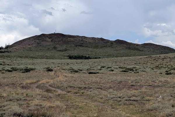
Shepherd Road - FS 31354
This short connector trail offers a scenic and efficient route between Highway 89 and Leviathan Bypass or Big Springs Road East, making it a useful shortcut for those navigating the area. Access is possible from either Highway 89 or the Leviathan Bypass trail. The track is one vehicle wide and weave...
Learn more about Shepherd Road - FS 31354
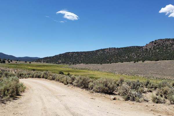
Desert Creek Loop
Short loop following Desert Creek between Smith Valley, NV and Bridgeport, CA. Several campgrounds are located along the creek, and there's good fishing and hiking nearby. The road is mostly one vehicle wide along the creek and ranges from hard packed dirt to loose rocks and gravel. There are 6 wate...
Learn more about Desert Creek Loop
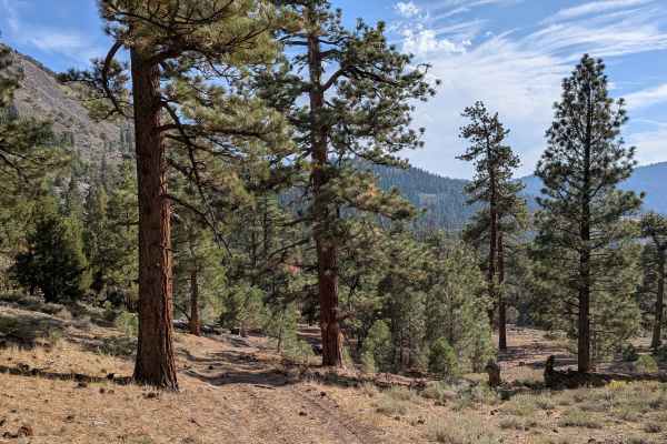
Water Tank Spur - FS 31347
This 2.5-mile out-and-back trail begins from Leviathan Road and offers a quick but rugged climb. The route gains over 450 feet in under a mile before dropping about 130 feet to its end high above Poison Creek, where wide views open across the valley below. The track is one vehicle wide, made of dirt...
Learn more about Water Tank Spur - FS 31347
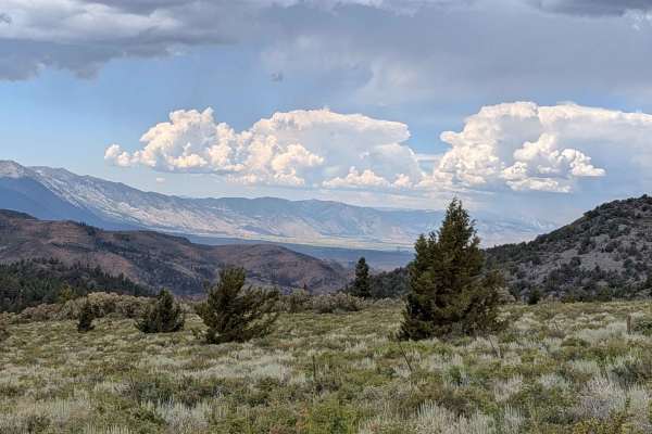
Big Spring Road West - FS 31083
This off-road route, accessed from Highway 89 about 10 miles from the 395 junction, offers a scenic and steadily more rugged adventure into the Sierra backcountry. The trail begins with a sandy dirt surface, scattered rocks, and a few muddy sections after rain. Roughly a mile in, drivers encounter a...
Learn more about Big Spring Road West - FS 31083
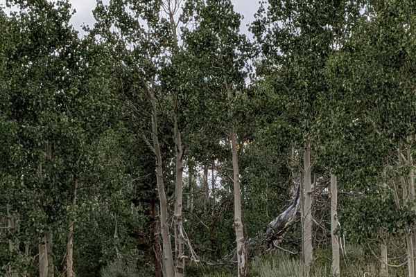
Forest Service Road S31084A Cutoff
This short and scenic trail winds through an expansive open meadow filled with sagebrush, offering wide-open views and a peaceful atmosphere. The surface is primarily packed dirt, making for a relatively smooth ride, though drivers should be aware of a small rock garden located mid-trail that adds a...
Learn more about Forest Service Road S31084A Cutoff
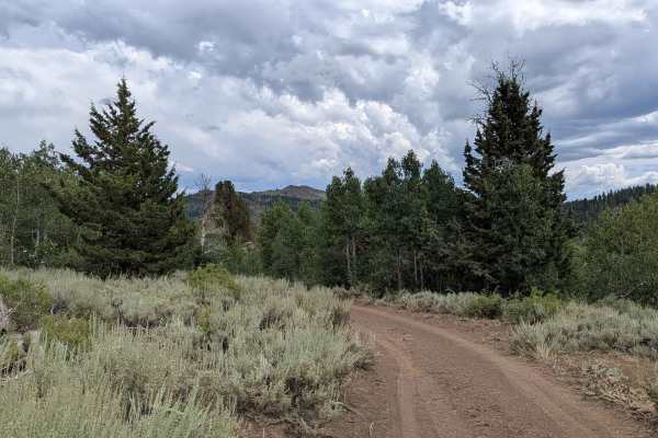
Pass Spur Road - FS 3108B
Pass Spur Road is a scenic and rugged 2.5-mile out-and-back trail that winds through dense Aspen forest, passing a spring-fed pool and a small creek along the way. The trail is primarily dirt with rocks scattered throughout, becoming increasingly rocky and technical as you venture deeper. After exit...
Learn more about Pass Spur Road - FS 3108B
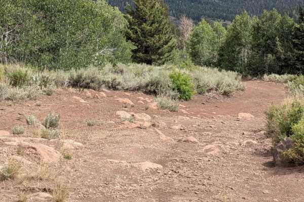
Heenan Spring Road - FS 31084
This scenic trail kicks off 10 miles up Highway 89 from the 395 junction. It starts with a few deceptive mud holes that hint at what’s ahead—an off-camber track weaving through a narrow meadow filled with sagebrush. As you progress, expect multiple muddy patches that can get deep and slick after rai...
Learn more about Heenan Spring Road - FS 31084
Beginner ATV trails near Smith, Nevada
Explore ATV-friendly trails near you. These trails are accessible for vehicles up to 50 inches wide, perfect for ATVs and smaller off-road machines.
Backway to Wilson Spring Arch
Wilson Spring Arch is a good-sized natural arch. This route leads you into the Pine Nut Range. Besides the arch, you can reach sites like Pine Grove and Rockland. The trail starts following a creek bed, which is dry most of the time. After the creek bed, you climb over the hills into the next valley...
Learn more about Backway to Wilson Spring Arch
Wellington Hills Road - 42778
This out and back, double-track, dirt trail mostly accommodates one-way traffic. It begins at Eastside Lane and gradually rises in elevation into the Wellington Hills, located in Toiyabe National Forest. There are vistas of Antelope Valley and the snow-capped Sierra Nevada mountain range to the east...
Learn more about Wellington Hills Road - 42778
Poison Creek
The trail begins on a dirt road just off Highway 395 and quickly descends into a lush valley. In this valley, the path follows a creek, winding in and out of dense vegetation. At times, the vehicle feels like it's traveling through a tunnel formed by the overhanging trees and greenery. While the tra...
Learn more about Poison Creek
Big Spring Spur Road
Big Spring Spur Road is a scenic dirt route in the Toiyabe National Forest, accessed from Highway 89, about 7.5 miles west of the Highway 395/89 Junction. This rugged path takes you through open meadows, rolling ridgelines, and offers striking views of the surrounding mountain ranges. The road surfa...
Learn more about Big Spring Spur Road
Beginner UTV/side-by-side trails near Smith, Nevada
Find UTV and side-by-side trails near you. These trails accommodate vehicles up to 60 inches wide, ideal for UTVs, side-by-sides, and wider off-road rigs.
Backway to Wilson Spring Arch
Wilson Spring Arch is a good-sized natural arch. This route leads you into the Pine Nut Range. Besides the arch, you can reach sites like Pine Grove and Rockland. The trail starts following a creek bed, which is dry most of the time. After the creek bed, you climb over the hills into the next valley...
Learn more about Backway to Wilson Spring Arch
Poison Creek
The trail begins on a dirt road just off Highway 395 and quickly descends into a lush valley. In this valley, the path follows a creek, winding in and out of dense vegetation. At times, the vehicle feels like it's traveling through a tunnel formed by the overhanging trees and greenery. While the tra...
Learn more about Poison Creek
Big Spring Spur Road
Big Spring Spur Road is a scenic dirt route in the Toiyabe National Forest, accessed from Highway 89, about 7.5 miles west of the Highway 395/89 Junction. This rugged path takes you through open meadows, rolling ridgelines, and offers striking views of the surrounding mountain ranges. The road surfa...
Learn more about Big Spring Spur Road
P-10 Trail
Named by the BLM, P-10 is a North/South trail passing along the East side of the Carson Valley. On the North it intersects Sunrise Pass (BLM R-09), and in the South intersecting with Pine Nut Road II (BLM P-11). P-10 is an easy trail, consisting of dirt, sand, and some rocky sections. There is a min...
Learn more about P-10 Trail
The onX Offroad Difference
onX Offroad combines trail photos, descriptions, difficulty ratings, width restrictions, seasonality, and more in a user-friendly interface. Available on all devices, with offline access and full compatibility with CarPlay and Android Auto. Discover what you're missing today!
Open Trail Map