
Beginner Off-Road Trails
Near Seba Dalkai, Arizona
Explore All Beginner Trails Near Seba Dalkai, Arizona
Beginner Off-Road Trails Near Seba Dalkai, Arizona
Discover the best beginner-friendly off-road trails near you. These easier, lower-rated trails are a great place to start — browse trail maps, check difficulty ratings, and find your next adventure.
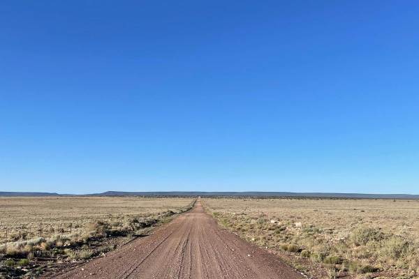
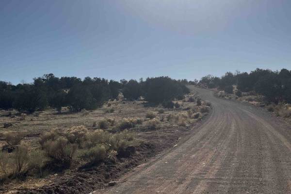
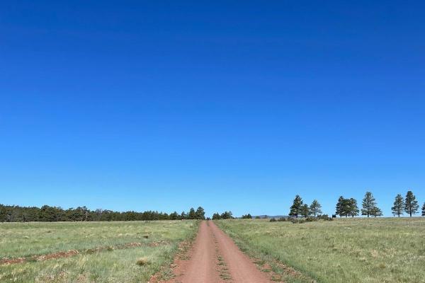
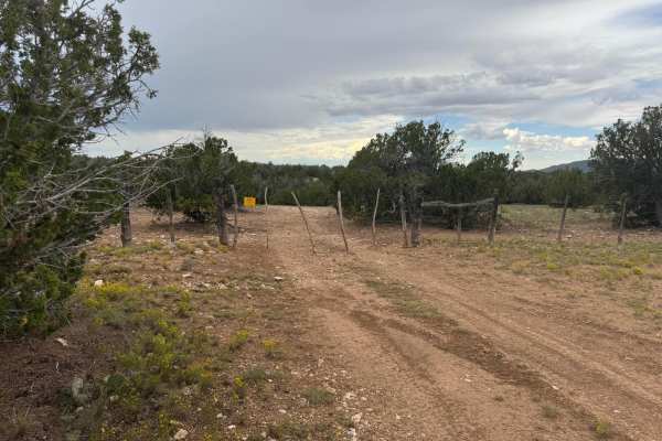
FS 126 to FS 125
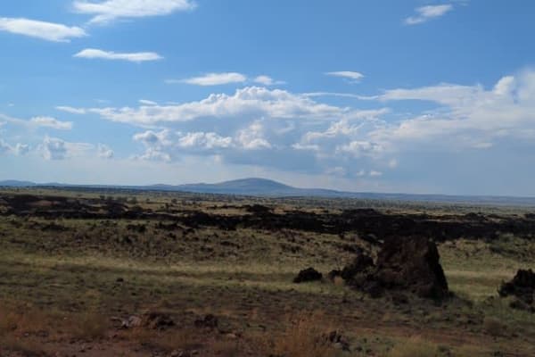
This lengthy trail starts right off I-40 and stretches just over 16 miles. This is an off-and-on maintained gravel road that is very dusty and washboarded. The majority of this trail travels across a flat landscape with open plains to the north and more forested areas to the south. There are several...
Learn more about FS 126 to FS 125
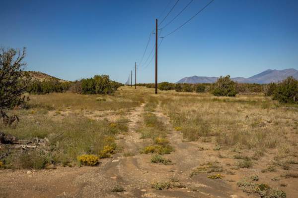
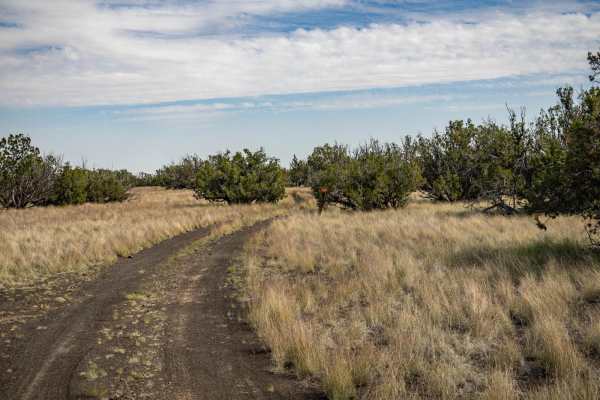
Power Access
The Power Access trail is a one-lane trail that cuts through varying terrain. The trail has multiple rock sections that feature loose rocks and shelf obstacles, but nothing too gnarly. There are no major obstacles on this trail. There are hills with loose rock, erosion, and water damage as well as w...
Learn more about Power Access
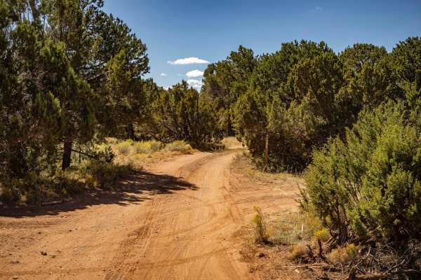
4B
The 4B trail is a mostly mellow trail, with no major obstacles on it. The trail sports erosion and water damage, as well as some wash crossings with off-camber, steep entrances and exits. Some of the water damage has left rock ledges, but nothing that a standard off-road vehicle can't handle. The tr...
Learn more about 4B
150 Pits
The 150 Pits Trail serves as an access and camping trail in the area that is adjacent to the Wupatki National Monument. There are many campsites along this trail, with the Southern end around the pits having numerous flat spots available to be camped in. The cinder pit area looks like it serves as a...
Learn more about 150 Pits
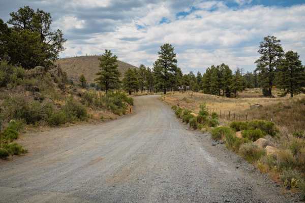
Marshall Lake Road
This road/trail starts out easy on black top, then chip n seal, then washboard red dusty dirt. From there, it gets rocky, and is slow. There are all kinds of offshoots and camps along the way. It's not technical, but you need to air down and take it slow. Nothing off-camber, no water crossing, just ...
Learn more about Marshall Lake Road
Two Guns Access
Listed as an access road to Two Guns, Arizona, this road does not go through. It runs along the I-40 Interstate in its entirety and has no obstacles on it. This trail is wide, with plenty of room to pass and/or turn around. It serves as an access point to the many trails that shoot off into the fore...
Learn more about Two Guns Access
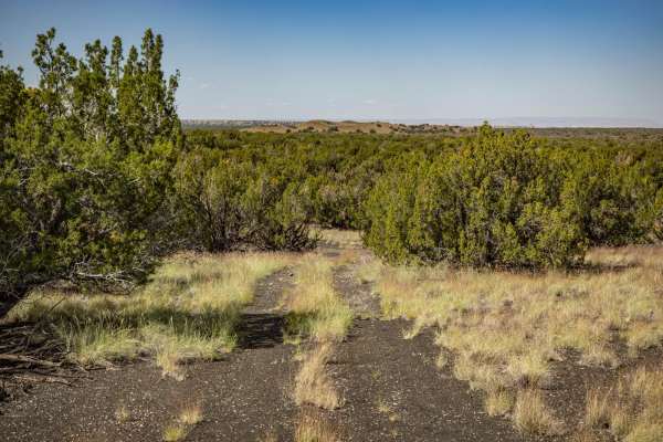
9157Y
9157Y is a connector trail that cuts through the Juniper and Mixed pine of this area, South of the Wupatki National Monument. This trail is a typical one in the area and is a two-track that is predominately rock, sand, and cinder crush. Along this trail, you'll encounter campsites, some with primiti...
Learn more about 9157Y
FS 82
FS 82 is a wide dirt road with no obstacles on it. This trail is a main artery that cuts through this area, there are many access points to head deeper into the forest on numerous intersecting trails. There are no obstacles on this trail, other than some mild ruts and erosion/water damage. This trai...
Learn more about FS 82
FS 125 to Kinnickinnick Lake Road
This section of Forest Service Road 125 leads you from the intersection with FS 126 and ends at another intersection with the Kinnickinnick Lake Road. The eastern part of this trail is fairly rocky as you climb onto the Anderson Mesa. This rocky section is a shelf road with some very sneaky and rock...
Learn more about FS 125 to Kinnickinnick Lake Road
782
The 782 Trail is an interesting one. On its journey through the entire area South of the Wupatki National Monument, it sports varying terrain. Spots of deep, soft, sand may become problematic if you're unprepared. Sporadic rock gardens spring up and make the trail bumpy at times, with sneaky rocks i...
Learn more about 782
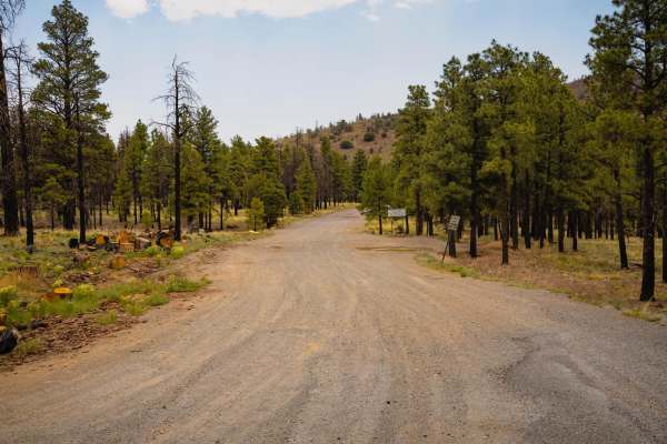
Cinder Hills OHV Area 777
This full-width, gently rolling, whoops-filled, cinder track winds between cinder cones and through the heart of Cinder Hills OHV. Aside from a sign at either end with mileage to Cinder Lake and the 776 intersections, there is no signage designating the official 777 route. Because this is an open ri...
Learn more about Cinder Hills OHV Area 777
128 E
Trail 128E is a one-lane mostly dirt trail. At times this trail will cross rock gardens with many large and loose rocks. There are numerous wash crossings that have off-camber sections as well as steep entrances and exits. There are mud ruts, as well as erosion with significant damage/washouts along...
Learn more about 128 E
Tub Ranch Road to FS 417
This wide, well-maintained, gravel road winds through the spectacular CO Bar Ranch/Arizona Land Trust co-managed area. Along the way, you'll drive past SP Mountain and through the lava field that can be seen on the satellite map. You'll need a free ranch access permit which can be obtained online or...
Learn more about Tub Ranch Road to FS 417
SP Mountain Road to Aso Ranch
This easy, graded gravel road takes you on a beeline through a checkerboard of Arizona Trust Land and Babbitt Ranch lands on your way to the historic and amazingly preserved Aso Ranch. Along the way, you'll have your head on a swivel taking in the sweeping views of the San Francisco Mountains to you...
Learn more about SP Mountain Road to Aso Ranch
9172X
The 9172X trail is a black sand and crushed cinder trail that is indicative of this area's terrain. The surrounding area of the Wupatki National Monument and the Cinder Hills further to the South's terrain is mostly made up of this material. This trail goes through varying terrain of hard-pack, sand...
Learn more about 9172X
9155M
9155M serves as a bisector trail that cuts through this National Forest area South of Wupatki National Monument. As is typical of most trails in the area, this trail is a two-track that is predominately rock, sand, and cinder crush. Along this trail, you might see dispersed campsites, some with prim...
Learn more about 9155M
9423H Trail
Very quiet backroad into some flat open land. This area is travel very little so make sure your vehicle is in good condition and cell service is off and on. This trail includes some very tall grass and if dry and dead please respect the fire danger. When tall and green can travel on if you keep movi...
Learn more about 9423H Trail
Cinder Hills OHV Area / 776
The Cinder Hills OHV Area is a unique off-road playground just northeast of Flagstaff, offering riders and drivers access to a surreal volcanic landscape covered in fine black cinder. Spread across thousands of acres, this area features open riding zones, hill climbs, and rolling terrain dotted with...
Learn more about Cinder Hills OHV Area / 776
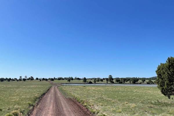
Kinnickinnick Lake
The road to Kinnickinnick Lake is a maintained dirt road that is easygoing and scenic. The start of this trail is off of Forest Service Road 125. You will see a sign pointing the way to the lake. The first part of the trail travels through ponderosa pines. This area is where the majority of the disp...
Learn more about Kinnickinnick Lake
O'Leary Peak Loop
O'Leary Peak Loop offers a dynamic blend of terrain and scenery just northeast of Flagstaff, winding through the unique volcanic landscape of the Coconino National Forest. The route starts wide and easy, and then transitions into a two-track that gradually gains elevation as it wraps around the base...
Learn more about O'Leary Peak Loop
Beginner ATV trails near Seba Dalkai, Arizona
Explore ATV-friendly trails near you. These trails are accessible for vehicles up to 50 inches wide, perfect for ATVs and smaller off-road machines.
FS 126 to FS 125
This lengthy trail starts right off I-40 and stretches just over 16 miles. This is an off-and-on maintained gravel road that is very dusty and washboarded. The majority of this trail travels across a flat landscape with open plains to the north and more forested areas to the south. There are several...
Learn more about FS 126 to FS 125
Power Access
The Power Access trail is a one-lane trail that cuts through varying terrain. The trail has multiple rock sections that feature loose rocks and shelf obstacles, but nothing too gnarly. There are no major obstacles on this trail. There are hills with loose rock, erosion, and water damage as well as w...
Learn more about Power Access
4B
The 4B trail is a mostly mellow trail, with no major obstacles on it. The trail sports erosion and water damage, as well as some wash crossings with off-camber, steep entrances and exits. Some of the water damage has left rock ledges, but nothing that a standard off-road vehicle can't handle. The tr...
Learn more about 4B
150 Pits
The 150 Pits Trail serves as an access and camping trail in the area that is adjacent to the Wupatki National Monument. There are many campsites along this trail, with the Southern end around the pits having numerous flat spots available to be camped in. The cinder pit area looks like it serves as a...
Learn more about 150 Pits
Beginner UTV/side-by-side trails near Seba Dalkai, Arizona
Find UTV and side-by-side trails near you. These trails accommodate vehicles up to 60 inches wide, ideal for UTVs, side-by-sides, and wider off-road rigs.
FS 126 to FS 125
This lengthy trail starts right off I-40 and stretches just over 16 miles. This is an off-and-on maintained gravel road that is very dusty and washboarded. The majority of this trail travels across a flat landscape with open plains to the north and more forested areas to the south. There are several...
Learn more about FS 126 to FS 125
Power Access
The Power Access trail is a one-lane trail that cuts through varying terrain. The trail has multiple rock sections that feature loose rocks and shelf obstacles, but nothing too gnarly. There are no major obstacles on this trail. There are hills with loose rock, erosion, and water damage as well as w...
Learn more about Power Access
4B
The 4B trail is a mostly mellow trail, with no major obstacles on it. The trail sports erosion and water damage, as well as some wash crossings with off-camber, steep entrances and exits. Some of the water damage has left rock ledges, but nothing that a standard off-road vehicle can't handle. The tr...
Learn more about 4B
150 Pits
The 150 Pits Trail serves as an access and camping trail in the area that is adjacent to the Wupatki National Monument. There are many campsites along this trail, with the Southern end around the pits having numerous flat spots available to be camped in. The cinder pit area looks like it serves as a...
Learn more about 150 Pits
The onX Offroad Difference
onX Offroad combines trail photos, descriptions, difficulty ratings, width restrictions, seasonality, and more in a user-friendly interface. Available on all devices, with offline access and full compatibility with CarPlay and Android Auto. Discover what you're missing today!
Open Trail Map