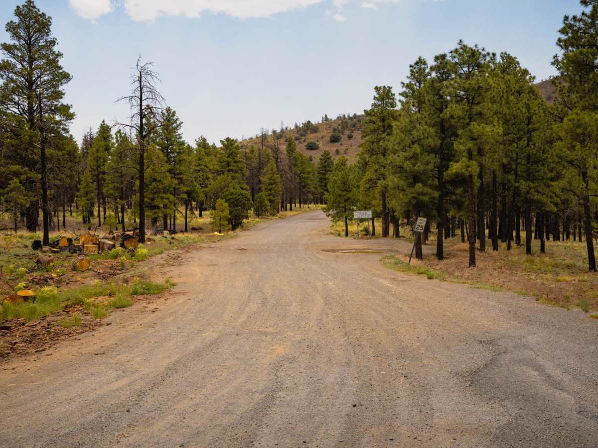
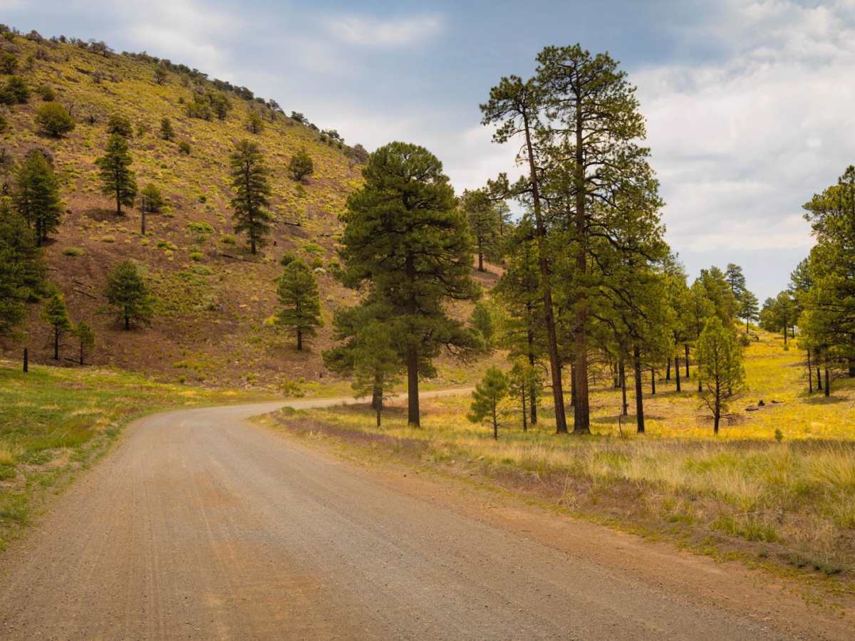
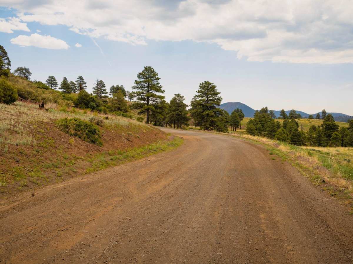
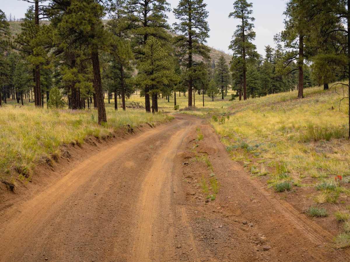
Trail Overview
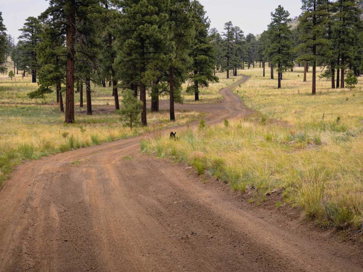
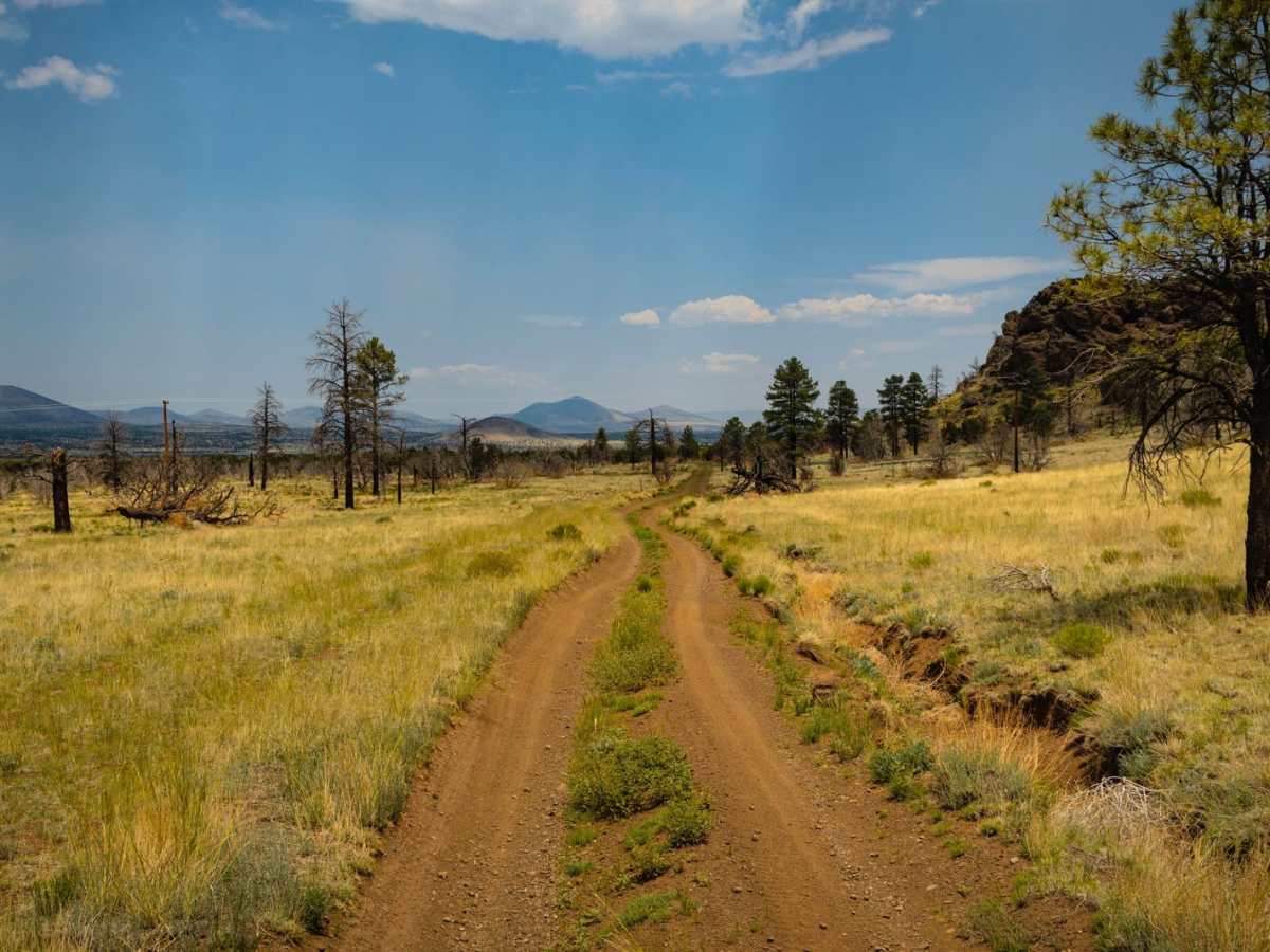
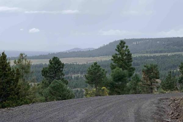
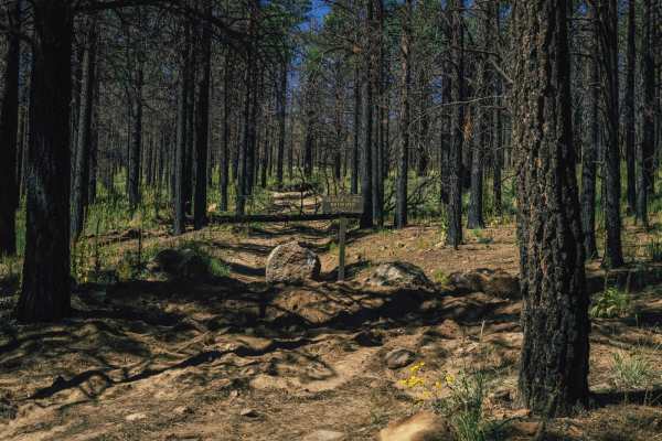
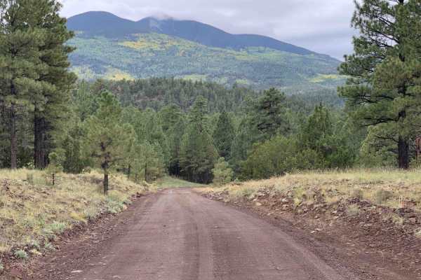
O'Leary Peak Loop offers a dynamic blend of terrain and scenery just northeast of Flagstaff, winding through the unique volcanic landscape of the Coconino National Forest. The route starts wide and easy, and then transitions into a two-track that gradually gains elevation as it wraps around the base of O'Leary Peak. As the trail progresses, it transitions into a narrower shelf road with a series of tight switchbacks, eventually reaching a high meadow that shows burn scars from past wildfires. A key caution point includes a steep off-camber ditch if approached from the wrong direction--best tackled clockwise. Past the halfway mark, expect random rock gardens and loose footing with sections composed of volcanic cinders, making traction variable. While not overly technical, the mix of surfaces and elevation gain keeps drivers alert. The trail provides sweeping views of the Cinder Hills OHV area and the San Francisco Peaks in the distance. Dispersed campsites are scattered along the loop, and OHV traffic is common in the area. The route is especially beautiful in fall when the foliage contrasts against the black cinders and charred slopes. Trail Features: Terrain: Dirt, rock, cindersHighlights: Switchbacks, cinder fields, wide views, OHV access. Cautions: Off-camber ditch, loose cinders. Cell Service: Spotty to none. The loop offers a rewarding drive through northern Arizona's volcanic terrain, balancing mellow sections with moderate challenges and exceptional views.
Difficulty
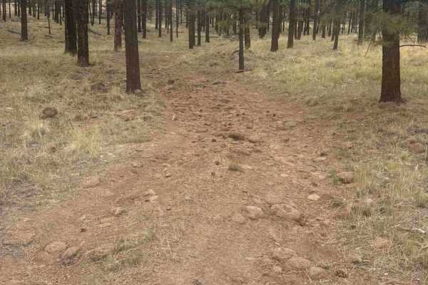
There are only a couple of problematic areas along this trail. The first is on the initial climb and then the shelf road, where erosion pitches your vehicle off camber steeply downhill. It might be daunting, but it's not undoable. The second is a random rock outcrop with a series of rocks in the trail that are between 8-12 inches tall. Other than that, this trail is mellow, with varying terrain.
History
The "history" of O'Leary Peak Loop primarily revolves around its geological formation and its relationship to the San Francisco Volcanic Field. O'Leary Peak is a lava dome volcano, part of a larger group of volcanoes in the area. The loop, is a trail that leads to O'Leary Peak and its surrounding area. The San Francisco Volcanic Field, including Sunset Crater, has been volcanically active for millions of years, with Sunset Crater's eruption around 1085 significantly impacting the landscape and the lives of local inhabitants.